Meta description: Wahoo fishing off Cape Hatteras explained for boat owners: where the Gulf Stream sits, how temperature breaks and the shelf edge set up fish, tactics that work, and the rules to verify.
Overview
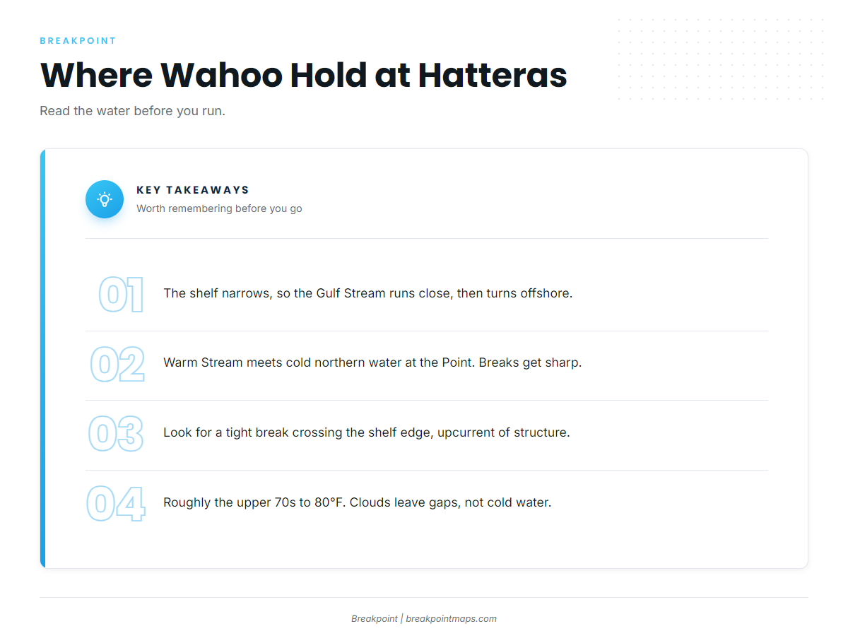
Wahoo fishing off Cape Hatteras works because the Gulf Stream runs nearer to land here than almost anywhere on the East Coast, and at the Point it meets colder water pushing down from the north. Together those put wahoo within reach of a center console.
For biology and general gear, use our wahoo species guide. For the regional picture, see our Atlantic Northeast wahoo guide. This page covers only the water off the cape.
Wahoo (Acanthocybium solandri) are fast, toothy, warm-water pelagics. What follows draws on published data and on the people who fish this stretch, including the places where they disagree.
What to expect:
- Season: Salt Water Sportsman reports year-round catches and a late summer to early fall peak. The season table below shows where sources disagree.
- Odds: Wahoo are hard to predict. Capt. Snead put it this way in Salt Water Sportsman: "You have to wait for the wahoo to find you and then be ready when they show up."
- Co-caught species: Dolphin, blackfin and yellowfin tuna, and billfish are commonly on the same trips.
- What this guide offers: No promise of fish, only a better basis for deciding where to look.
Today is Sept 30, so the fall window is open now. That is a reason to plan, and it guarantees nothing.
Regional Differences
Hatteras differs from the wider Atlantic Northeast picture in four ways: a shorter run, a Stream that turns offshore here, a cold-warm collision at the Point, and a longer, less predictable season.
As the regional guide covers, the run to blue water farther north is longer and the window is tighter. Here the geometry changes.
- Shorter run. Seadream Fishing, a Hatteras charter operator, says the Stream can meander in within 10 miles of Hatteras Inlet. That is an operator claim. The real number is whatever today’s SST shows, and it moves.
- The turn offshore. The continental shelf narrows off the cape, and the Gulf Stream bends away to the northeast near Hatteras. North of here, it leaves the coast.
- The collision at the Point. Salt Water Sportsman describes Hatteras as sitting at the conjunction of the Gulf Stream and the Labrador Current. Warm meets cold, and that produces sharp breaks.
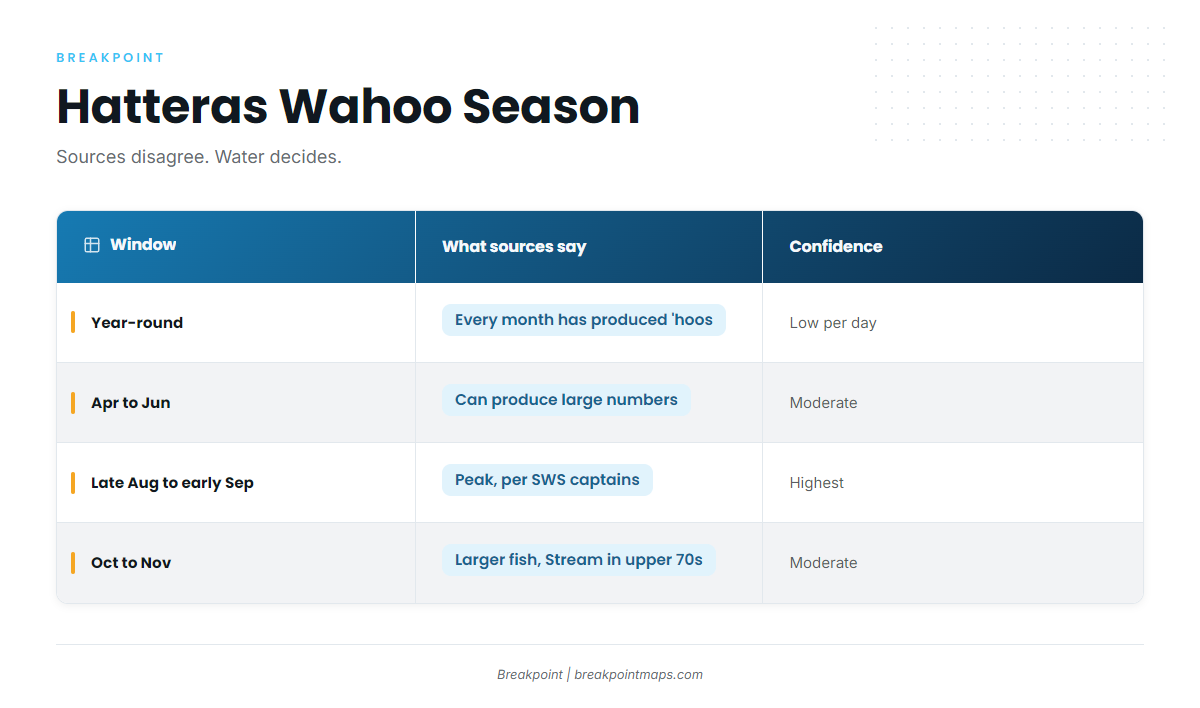
- A looser calendar. Sources and captains disagree on the exact peak. The table shows the range and what drives it.
| Window | What sources say | Confidence |
|---|---|---|
| Year-round | Capt. Kenny Koci: "There isn’t a month that hasn’t produced ‘hoos" (Salt Water Sportsman) | High that it’s possible, low for any given day |
| Apr to Jun (spring) | Charter operators say spring can "sometimes produce large numbers" | Moderate |
| Late Aug to early Sep | Captains in Salt Water Sportsman agree late summer to early fall is the peak. Seadream cites late Aug to early Sep | Highest agreement |
| Oct to Nov (fall) | Outdoor Benchmark says the fall run in October and November is often best, with larger fish while the Stream holds the upper 70s | Moderate, depends on water |
The Stream’s position and water temperature drive the season more than the calendar does. A warm edge sitting close in October can fish better than a cold one in September.
Habitat & Conditions at Cape Hatteras, North Carolina
Look for wahoo where a tight temperature break crosses the shelf edge off the cape, especially on the upcurrent side of bottom structure.
Why the Stream comes close here
The shelf narrows off the cape, so the Gulf Stream runs near the beach and then turns offshore. We watch the Stream’s north wall off the cape because the temperature gradient tightens there. A tight gradient concentrates bait, and bait concentrates everything that eats it.
The shelf edge and the 100-fathom curve
The structure to work is shelf-edge ledges, drops and the 100-fathom curve, about 600 feet, off the cape. The Point is the best-documented reference on the water.
The mid-Atlantic wahoo feature in Salt Water Sportsman makes the structure case: "any drop or rise in the bottom along the edge of the continental shelf will also hold these fish, especially crossroads, where the current intersects structure." Koci most often finds wahoo on the inshore or upcurrent side of structure, where a break stacks up against a ledge.
Temperature breaks and what SST can and can’t show
Koci says, "We’ll often find wahoo in water up to 80 degrees." Outdoor Benchmark cites the upper 70s in fall. Plan around roughly the upper 70s to 80°F, and expect the fish to respond to the edge more than to the exact number.
SST has blind spots:
- A cloud-blocked satellite pass is a gap, not cold water.
- A 2-day-old image shows where the break was.
- Breaks off the cape can move miles overnight.
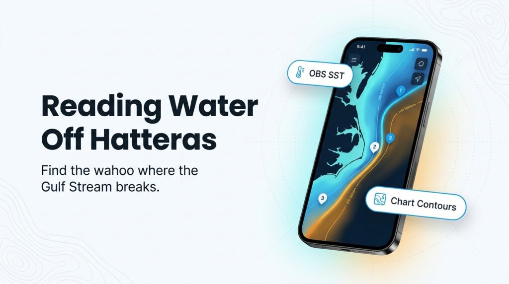
Decide the run on the freshest clear pass, then confirm the break with your boat’s own temperature reading. In Breakpoint, that is the OBS SST layer, which flags when a pass is old or blocked.
Currents, eddies and the north wall
The Gulf Stream and the Labrador Current meeting is only part of the story. Eddies spin off the wall and carry bait and warm water with them. Our piece on how currents and eddies set up offshore fish covers how to spot them.
Weedlines and color changes
Weedlines, sargassum and color changes are secondary signs. They hold bait and dolphin, and wahoo often sit near them. Use them as confirmation of a promising area rather than as a destination.
Diamond Shoals and the inlets
- Diamond Shoals extends off the cape and has earned the name "Graveyard of the Atlantic."
- Hatteras Inlet and Oregon Inlet shoal and change. Check the USCG Local Notice to Mariners and current local knowledge before running them.
- Get them from current charts and local sources.
- Chart layers are not for navigation.
Tactics for Cape Hatteras, North Carolina
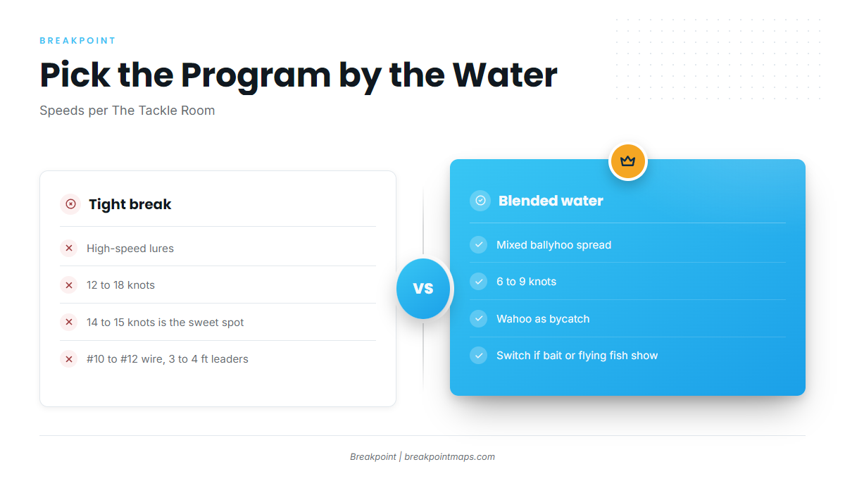
Let the water pick the program. A tight break at the shelf edge calls for high-speed lures run through it. Scattered, blended water calls for a mixed ballyhoo spread at 6 to 9 knots, with wahoo as bycatch. That is the core of wahoo fishing off Cape Hatteras.
Rigging figures below come from The Tackle Room and Salt Water Sportsman, not from Breakpoint.
The high-speed program
Salt Water Sportsman’s Hatteras game plan pulls a high-speed lure at 15 knots. This high-speed trolling speed guide gives a 12 to 18 knot range, with 14 to 15 knots as the sweet spot. The Tackle Room also reports that captains slow to about 14 knots and put lures out about 10 miles from their destination, which lets them troll the run.
The mixed spread for bycatch days
The Tackle Room describes mixed dead baits and lures at 6 to 9 knots as a way to allow more bycatch, including mahi, tuna and billfish. A common layout is an eight-bait V spread off outriggers and tower lines, with ballyhoo and Ilanders on wire.
Signs to switch to a wahoo spread
- Bait marked on the sounder.
- Flying fish showing.
- A tight temperature break near the shelf edge.
- A wahoo caught. Per Seadream, where you catch one, you are likely to find more.
Wire, leaders and drag
The Tackle Room recommends:
- #10 to #12 single-strand wire.
- 3 to 4 ft leaders for high-speed lures.
- Strike drag at 20 to 25 percent of the line’s rated strength.
Following a moving break
Work along the break rather than parking on the morning’s position, and re-check the temperature as you troll.
At the boat
Wahoo have serious teeth. Gaff decisively, keep hands clear of the mouth, and control the fish before anyone reaches in.
Frequently Asked Questions
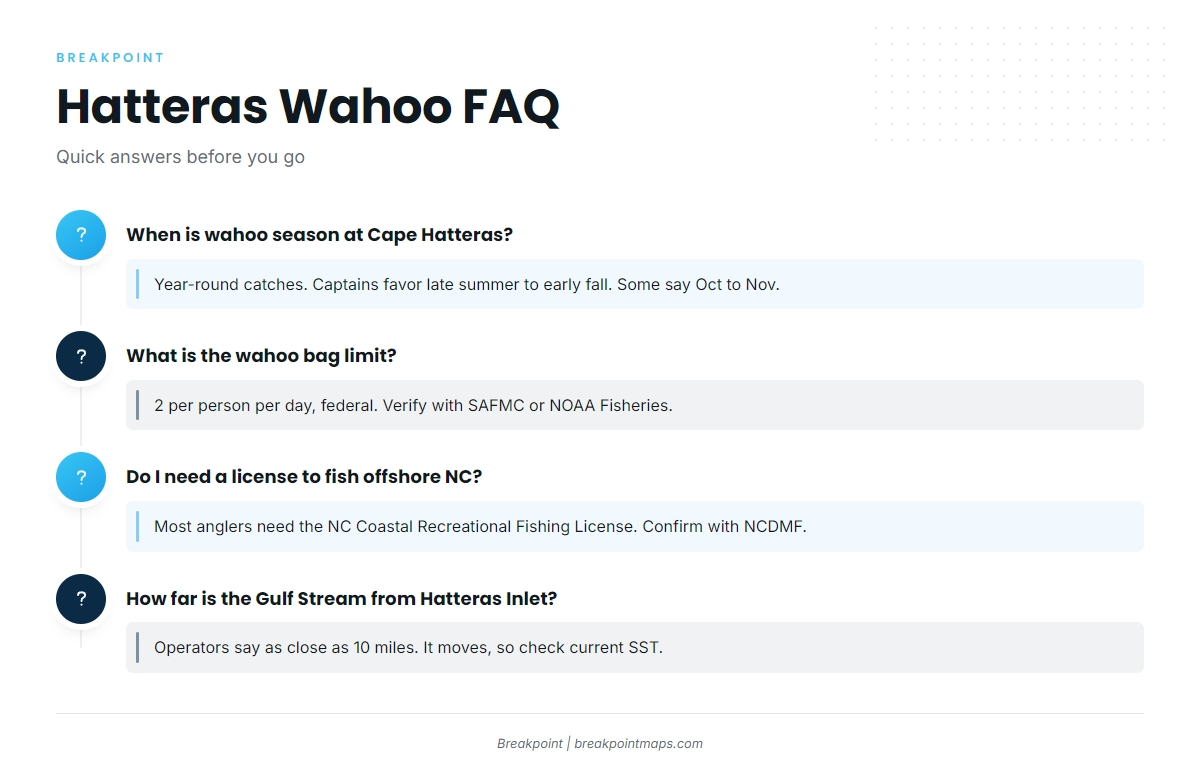
When is wahoo season at Cape Hatteras?
Wahoo are caught year-round. Captains quoted in Salt Water Sportsman put the peak in late summer to early fall. Other sources favor Oct to Nov for larger fish. Water temperature and the Stream’s position decide the season more than the calendar does.
What is the wahoo bag limit off North Carolina?
The limit is 2 per person per day under the federal Dolphin-Wahoo Fishery Management Plan. Verify it with SAFMC or NOAA Fisheries before you go, since rules change.
Do I need a license to fish offshore NC?
Most anglers need the NC Coastal Recreational Fishing License. Licensed charters typically cover their passengers. Confirm with NCDMF. If you also target tuna or billfish on your own boat, add the HMS Angling permit.
How far is the Gulf Stream from Hatteras Inlet?
Operators claim it can come as close as 10 miles. It moves, so check the current SST before you commit to a run.
Close
Hatteras rewards reading the water: the Stream’s position, the break and the shelf edge. The night before, pull up OBS SST and Chart Contours in Breakpoint along the shelf edge off the cape, find where the break meets the 100-fathom curve, and decide which way to turn out of the inlet. On the day, cross-check against Hatteras wahoo fishing reports.
The layers have limits. Cloud blocks satellite passes, and images age. They can’t tell you a fish is there, but they can help you decide where to look for wahoo fishing Cape Hatteras, North Carolina anglers keep coming back to. Chart layers are not for navigation.