

Know Where the Fish Are Before You Leave the Dock.


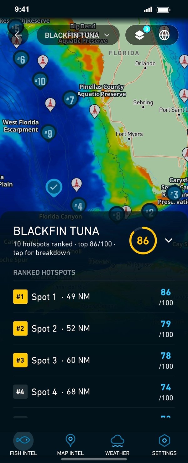
Every Breakpoint Map Gives You
Ocean Layers, Hotspots, and Chart Contours Tide Stations, Marine Buoys, and Custom Waypoints
All the data and information you need to find where the fish are biting like a pro captain.
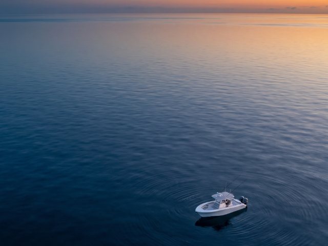
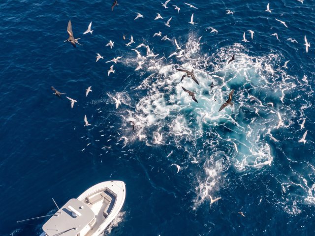
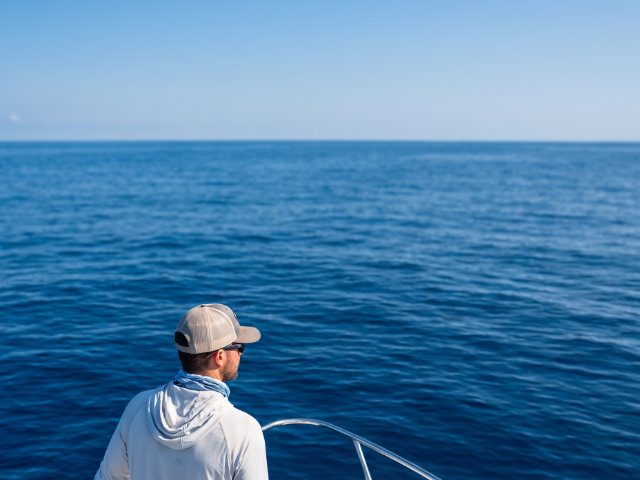
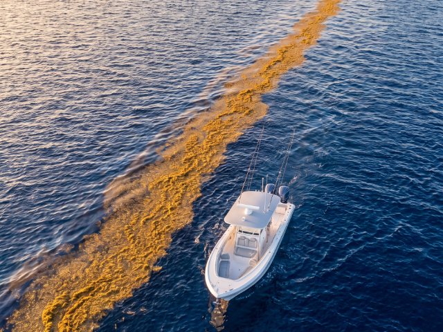

Focused on the Catch
More Fish, Less Guesswork Every Trip.
Plan the perfect run
Know exactly where to point the bow before you leave the dock, saving fuel, time, and guesswork.
Read every layer at once
Temperature, chlorophyll, currents, and structure fused into one decision-ready map.
Always up to date
Model layers and hotspots rebuild once a day, satellite sea surface temperature four times a day, and buoy readings every 15 minutes. Each layer shows its time stamp.
Your Best Day Starts the Night Before.
Plan tomorrow’s trip from the couch: pick your species, see where the intelligence points, build your route, and download it for offline. By the time you hit the inlet, the hard part’s already done.
How It Works
Download. Pick Your Target. Run the Numbers.
No spreadsheets, no chart-plotter wizardry. Breakpoint does the heavy lifting so you can focus on the bite.
1. Download & Set Your Home Port
Create your profile and drop your home port. Breakpoint tailors everything to your waters.
2. Choose Your Species & Date
Select your target from 30 species, tuna to grouper to lingcod, and the day you're fishing.
3. Run to the Hotspots
Get your ranked spots, build a route, download for offline, and head out.

FAQs
Questions From the Cockpit
How often is the data updated?
Model ocean layers (temperature, chlorophyll, currents, salinity, altimetry, mixed layer depth) and the hotspots built from them update once a day. Satellite sea surface temperature updates four times a day, at 00, 06, 12 and 18 UTC. Satellite chlorophyll, wind and wave forecasts update once a day. Buoy and tide station readings update every 15 minutes. Every layer shows its time stamp in the app.
Does it work offshore with no signal?
Yes. Download your region before you leave — maps, ocean layers, and hotspots all work fully offline.
Which species and regions are covered?
Five US regions: the Gulf of Mexico (Texas to the Florida Keys), Atlantic Southeast (Florida Keys to Cape Hatteras), Atlantic Northeast (Cape Hatteras to the Gulf of Maine), Pacific Northwest (Washington, Oregon and Northern California) and Pacific Southwest (Central and Southern California). Thirty species, from yellowfin, bluefin and blackfin tuna, marlin, sailfish, mahi and wahoo to red snapper, grouper, striped bass, halibut and lingcod.
Which map layers does Breakpoint include?
Sea surface temperature (model and satellite), chlorophyll and water color, currents, salinity, altimetry for upwellings, mixed layer depth for the thermocline, wind, waves, satellite imagery, bathymetry and NOAA chart contours. You can also switch on buoys, tide stations, named seabed features and your own waypoints.
How accurate are the hotspots?
They're scientific guidance, not a guarantee — a weighted model of temperature, productivity, currents, depth, and fronts that puts you on the right water far faster than searching blind.
Can I cancel anytime?
Absolutely. Plans are month-to-month or annual, cancel whenever — your logged catches and waypoints stay with you.
Blog
Check the latest news from the water.
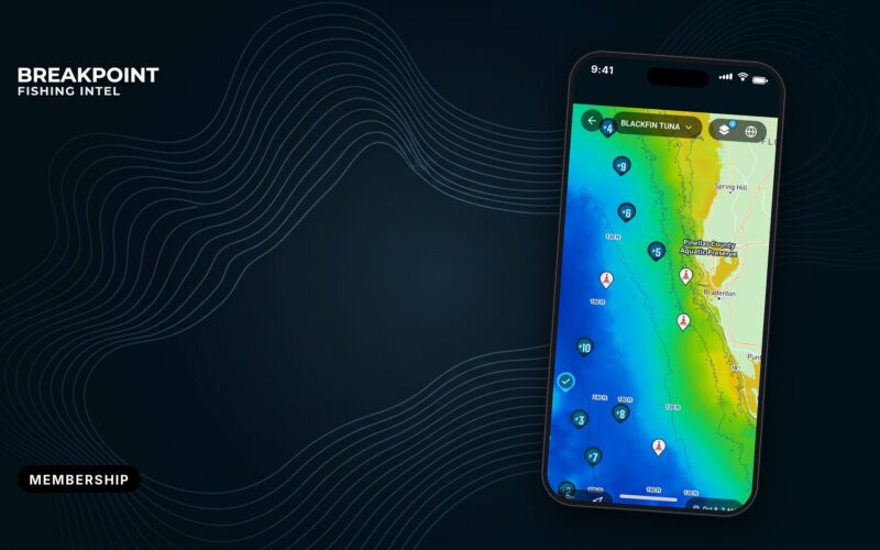
Breakpoint Membership: What’s Included and What It Costs
What a Breakpoint membership includes, what it costs ($15 a month or $129 a year) and how to start a 7-day free trial.
 By Breakpoint Team
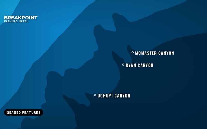
Named Seabed Features on the Breakpoint Map
Official names for banks, ledges, canyons and shoals appear on the Breakpoint map as you zoom in.
By Breakpoint Team
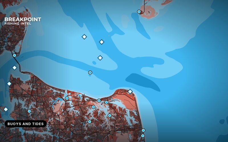
Buoy and Tide Stations on the Breakpoint Map
See what a nearby NOAA buoy or tide station is reporting, and check the tide, without leaving the Breakpoint map.
By Breakpoint Team