Spring
Offshore
tilefish, bluefin tuna
Nearshore
striped bass, tautog, black sea bass, bluefish




New Jersey offshore fishing runs from the Mud Hole off Sandy Hook to the canyon edges off Cape May, with a string of inlets in between. This page covers the whole coast: the grounds from north to south, the ports, what runs when, and where the 3-nautical-mile line splits state and federal rules. If you fish beyond Jersey, the same breakdown exists for the rest of the US coast. By the end you’ll know which inlet suits which grounds and which agency’s rules apply where you fish.
 By Breakpoint Team
The coast
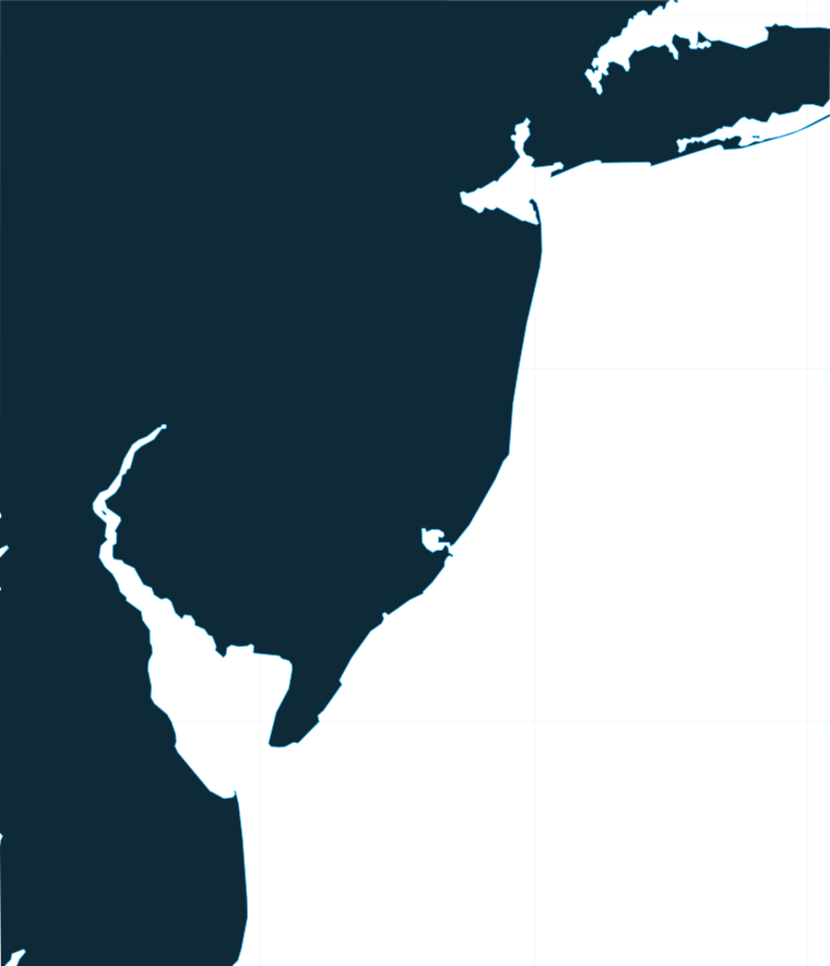
The coast fishes in three bands: nearshore bays, rocks and reefs; midshore ridges and lumps; and offshore canyons. Each is covered below, north to south where that applies.
A line drawn 3 nautical miles off the beach separates state water, inside it, from federal water, which runs from there out to 200 nautical miles. The Regulations section covers the rules that follow from this line.
| Band | Grounds | What defines it |
|---|---|---|
| Nearshore | Raritan Bay, Sandy Hook, Shrewsbury Rocks, Mud Hole, artificial reefs | Bays, rock, trench edges, wrecks and reef material |
| Midshore | Barnegat Ridge and other ridges and lumps | Relief on the shelf where bait stacks |
| Offshore | Hudson, Toms and Wilmington canyons | Canyon edges where Gulf Stream water meets shelf water |
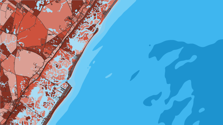
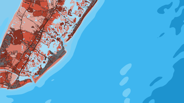
The northern end starts in Raritan Bay and around Sandy Hook. Shrewsbury Rocks sit off the Monmouth County beaches. The Mud Hole is part of the Hudson Shelf Valley, a trench running offshore from the Hook. All of it is structure (rock, trench edges and wrecks) that holds fish.
The NJDEP Artificial Reef Program adds more. Reef material includes decommissioned ships, barges, train cars, military vehicles, reef balls, concrete habitat and dredge rock. The Artificial Reef Deployments application lists nearly 4,000 publicly accessible deployments, with type, material and location.
Reefs hold tautog, black sea bass, fluke, bluefish and triggerfish. Fish on reefs stay tight to structure and eat hooks and sinkers, so bring extra terminal tackle.
Barnegat Ridge, off Barnegat Inlet, is the best-known midshore ground. Ridges and lumps are relief on the shelf, where bait and the fish that follow it stack up. The 3-nautical-mile line falls between the beach and much of this ground, so federal rules apply at many midshore spots.
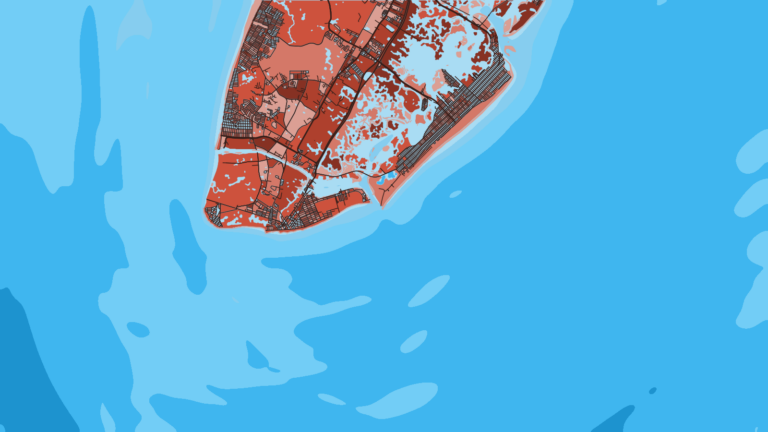
Three canyons anchor the offshore fishery: the Hudson, Toms and Wilmington. The northern and central inlets work the Hudson and Toms side, and the South Jersey inlets work toward Wilmington.
Warm-core eddies spin off the Gulf Stream and push warm, blue water onto the cooler, greener shelf water at the canyon edges. Tuna, mahi, wahoo and billfish sit along those temperature breaks and color changes. For the wider shelf and Gulf Stream picture, see the Northeast canyon and Gulf Stream picture.
Cloud blocks satellite sea surface temperature passes, so in fog a clear-sky image can be a day or more old. Treat any single image as a snapshot rather than a live view.
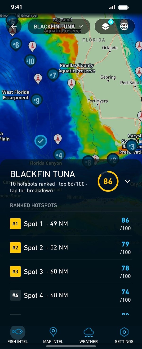
In Breakpoint, OBS SST shows the temperature breaks, Chlorophyll shows the color edge where clean water meets green, and Chart Contours shows where those edges cross canyon walls and the shelf break. Used together, they help you decide where to look the night before. Chart layers are not for navigation.
Ports
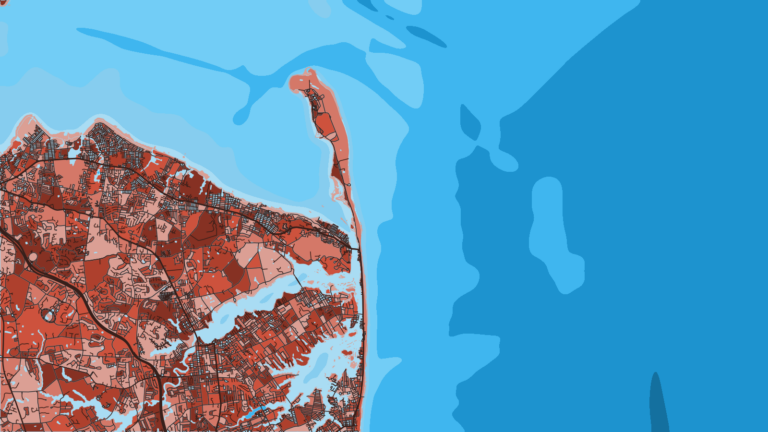
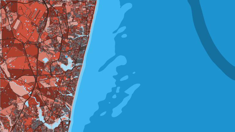
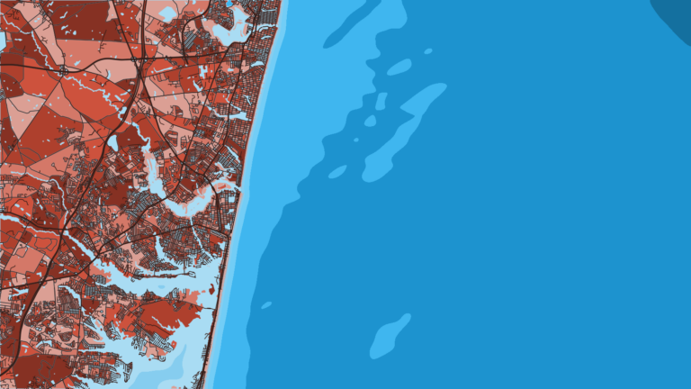
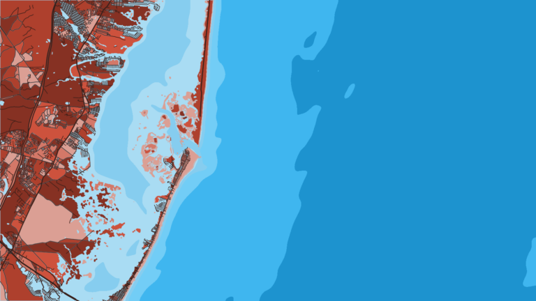
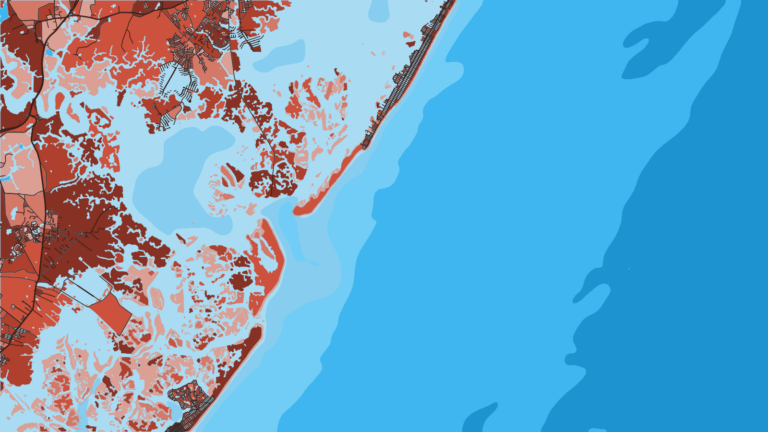
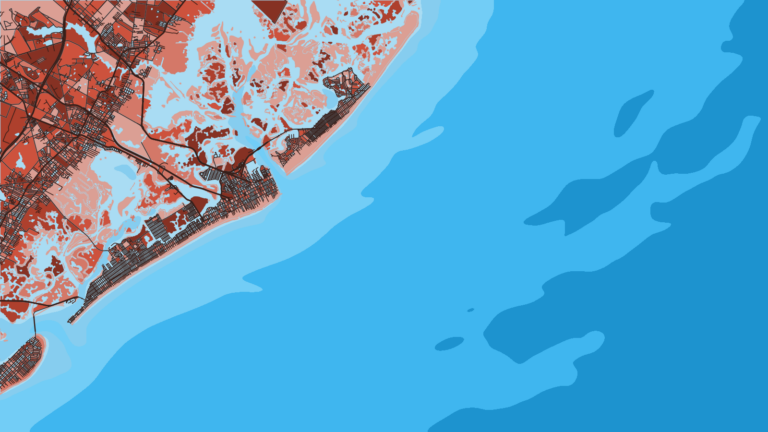
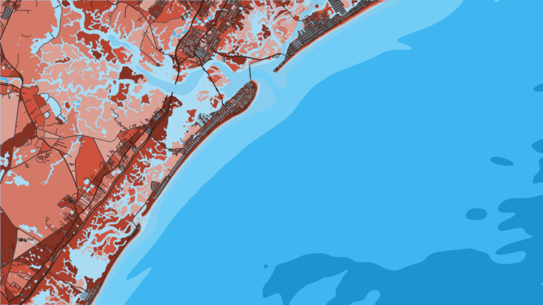
The ports run north to south, grouped by stretch of coast. Tap a number on the map, or a stretch below, to zoom in on its ports.
3 ports
This is the bay, rock and Mud Hole end of the coast, with inlets that also reach the northern canyons.
2 ports
Barnegat Inlet opens onto Barnegat Ridge and the central canyons.
5 ports
A run of inlets and reef sites leads to the southern canyons and Delaware Bay.
Seasons
What tends to be around each season. Open seasons are covered under Regulations.
Offshore
tilefish, bluefin tuna
Nearshore
striped bass, tautog, black sea bass, bluefish
Offshore
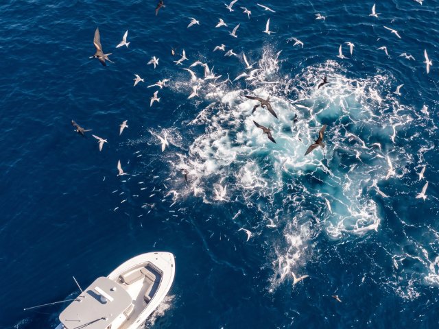
yellowfin tuna, bluefin tuna, mahi, white marlin, wahoo, tilefish
Nearshore
fluke, black sea bass, bluefish
Offshore
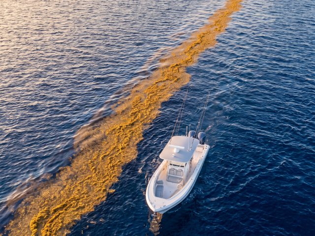
yellowfin tuna, bigeye tuna, bluefin tuna, wahoo, mahi
Nearshore
striped bass, bluefish, black sea bass, tautog
Offshore
tilefish
Nearshore
tautog, black sea bass
Water temperature drives timing, and the same species can show early or late from year to year.
Open seasons and bag limits differ from these fishing windows. See Regulations.
Temperature breaks and color edges shift with wind and current. In Breakpoint, these three layers show those edges and the bottom structure near them.
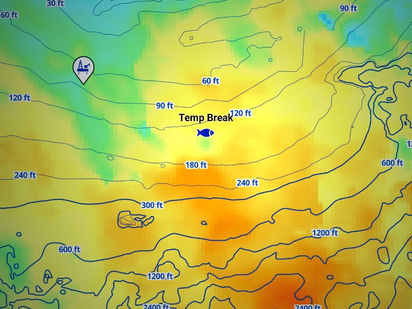
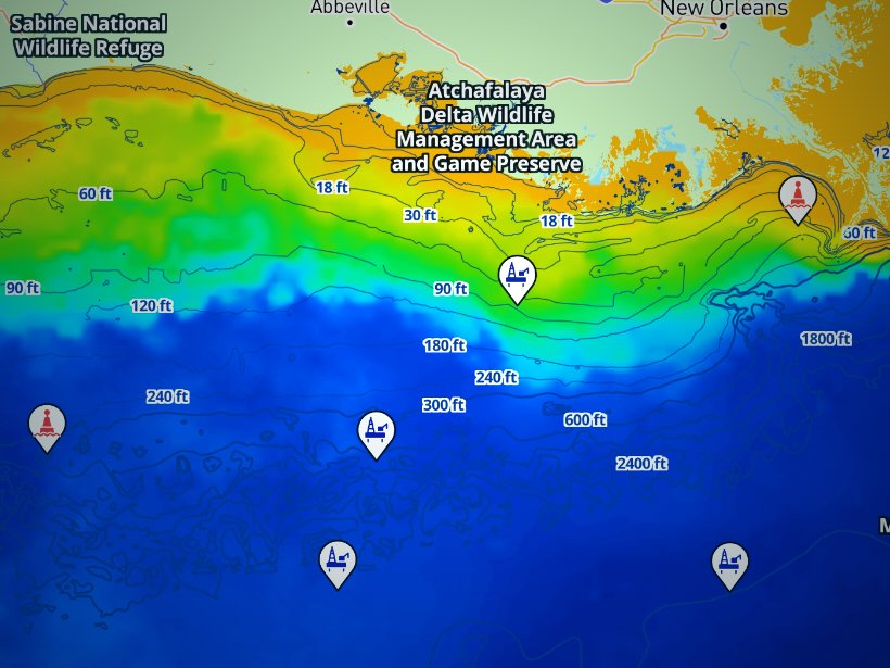
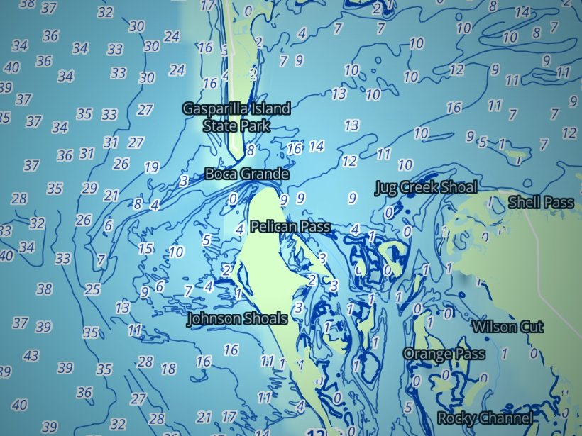
Clouds block satellite SST passes, so some days show gaps. Chart layers are not for navigation.
Charters and tournaments
Regulations
Start with the New Jersey fishing regulations page for species rules. The NJDEP Division of Fish and Wildlife sets state-water rules and posts in-season changes, so check it before every trip.
| State waters (0 to 3 nm) | Federal waters (3 to 200 nm) |
|---|---|
| NJDEP Division of Fish and Wildlife, with ASMFC and Mid-Atlantic Council plans | NOAA Fisheries GARFO and the Mid-Atlantic Council; South Atlantic Council for mahi, wahoo and mackerels; NOAA HMS for tunas, billfish, swordfish and sharks |
| Striped bass open under NJDEP rules | Striped bass closed |
A few facts hold steady:
Size, bag and season figures for fluke, black sea bass, tautog, scup and the striped bass slot change by season or quota. Get them from NJDEP, since any other page may be out of date.
Three requirements cover most offshore trips:
The New Jersey Department of Environmental Protection (NJDEP), Division of Fish and Wildlife, sets the rules for state waters out to 3 nautical miles; federal waters run from 3 to 200 nautical miles. Summer flounder, scup and black sea bass are set with the Mid-Atlantic Fishery Management Council and the Atlantic States Marine Fisheries Commission, and New Jersey’s rules apply to every fish possessed in or landed in the state.
The species-by-species size, bag and season rules are on the New Jersey fishing regulations page. Official source: New Jersey saltwater finfish regulations.
FAQ
Official answers come from the state wildlife agency and NOAA Fisheries. Check them before you go.
No license is required, but anglers 16 and older must join the free NJ Saltwater Recreational Registry, renewed each calendar year. For-hire owners and captains register their vessels. If you are a passenger on a charter or party boat, confirm with the boat.
A federal HMS permit: Angling for private boats, Charter/Headboat for for-hire. The same permit family covers billfish, swordfish and sharks, and sharks need the shark endorsement. Check NOAA HMS for sizes and limits before you go.
No. Striped bass are closed beyond 3 nautical miles. Inside 3 nautical miles, NJDEP rules apply, so check the slot with NJDEP before fishing.
The rules of the state where you land. Fluke landed in New Jersey follow NJDEP limits. See New Jersey fishing regulations for where to find them.
The Hudson, Toms and Wilmington canyons. North and central inlets lean toward the Hudson and Toms side, while Cape May lies closer to Wilmington. Warm-core eddies decide which edge holds fish.
Use the NJDEP Artificial Reef Program’s Artificial Reef Deployments application. It lists nearly 4,000 public deployments with type, material and location. Reefs hold tautog, black sea bass, fluke, bluefish and triggerfish.
Match the port to the target. Highlands suits bay striped bass and fluke. Point Pleasant Beach and Belmar have large charter and party fleets. Barnegat Light and Cape May suit canyon trips. Wildwood and Ocean City suit party boats in the south.
Ranked hotspots, live ocean layers and offline maps.
Open Breakpoint