Winter
Offshore
bluefin tuna, bigeye tuna, yellowfin tuna, mako shark
Nearshore
tautog, striped bass, black sea bass




Delaware offshore fishing covers the upper Delaware Bay, the water past Cape Henlopen, the Atlantic beaches down to the Maryland line, and the reefs and canyons beyond. This page lays out the coast from end to end: ports by stretch, what runs in each season, and where state rules stop and federal rules start. It shows where to look and makes no promises about fish. The same layout is used for other US states and coasts.
Private boaters will find grounds, inlet notes and permit logic. Visitors will find ports, seasons and licensing answers. Tournament anglers will find the state tournament rules. The Coast Pilot puts Indian River Inlet 12 miles south of Cape Henlopen and Ocean City Inlet 29 miles south.
 By Breakpoint Team
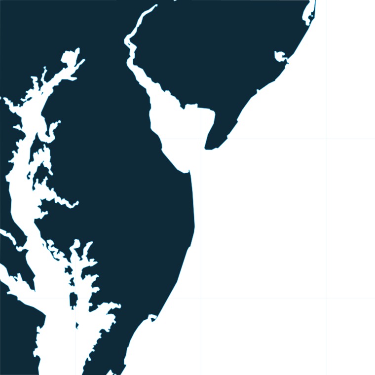
The coast
Delaware Bay is separated from the ocean by a line from Cape May Point, New Jersey, to Cape Henlopen Point, Delaware. Anglers fishing the New Jersey side of the bay need a New Jersey FIN.
On the Atlantic side, state waters run 3 nautical miles from the shoreline, and federal waters run from 3 to 200 nautical miles. Indian River Inlet is the first opening in the barrier beach south of Delaware Bay, connecting the Atlantic to Indian River Bay and Rehoboth Bay.
The inlet demands caution, and NOAA Coast Pilot 3 explains why:
Delaware has 14 permitted artificial reef sites in the bay and along the coast. These are the inshore grounds off Indian River Inlet, with distances in nautical miles from the entrance:
Inside a permitted site under Delaware jurisdiction, finfish may be taken only by hook and line or spear. Verify reef positions against the free DNREC Delaware Reef Guide, available from the Little Creek office at (302) 735-2960, and against NOAA charts 12304 and 12214.
Past the reefs, Baltimore Canyon and Wilmington Canyon hold the deep-water pelagics. Yellowfin, bigeye and bluefin tuna, white and blue marlin, mahi-mahi, wahoo and golden tilefish all work these edges. For how the wider Mid-Atlantic migration sets them up, see how the Northeast Atlantic fishes.
For offshore conditions, read the NWS marine forecast zone ANZ820, which covers Hudson Canyon to Baltimore Canyon to 1000 FM. Check it the morning you go.
Before committing fuel to a canyon run, check OBS SST and Chlorophyll for an edge worth the trip. Use Chart Contours alongside the official charts. Chart layers are not for navigation.
Ports
Delaware’s ports fall into two stretches: the lower bay at Cape Henlopen, and the Atlantic beaches with their inland bays. Tap a number on the map, or a stretch below, to zoom in on its ports.
1 port
This stretch sits at the mouth of the bay, inside the Cape May Point to Cape Henlopen line.
1 port
Indian River Inlet is the first break in the barrier beach south of the bay. It opens Indian River Bay and Rehoboth Bay to the Atlantic.
Seasons
What tends to be around each season. Open seasons are covered under Regulations.
Offshore
bluefin tuna, bigeye tuna, yellowfin tuna, mako shark
Nearshore
tautog, striped bass, black sea bass
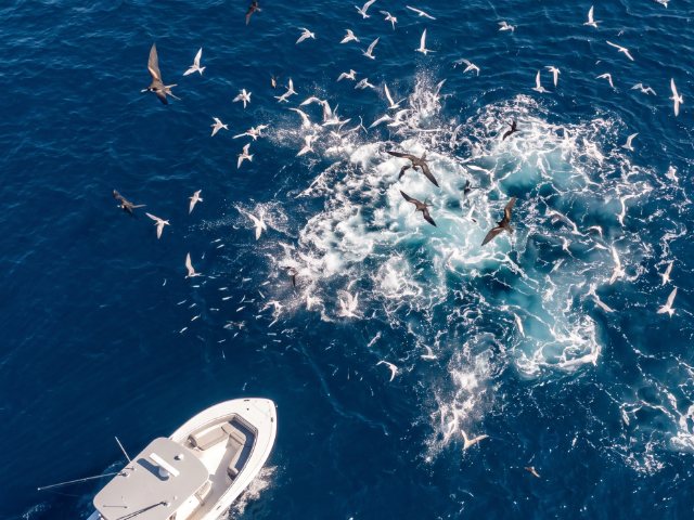
Offshore
bluefin tuna, yellowfin tuna, mahi-mahi, tilefish, blue marlin
Nearshore
black sea bass, tautog, summer flounder, striped bass, black drum
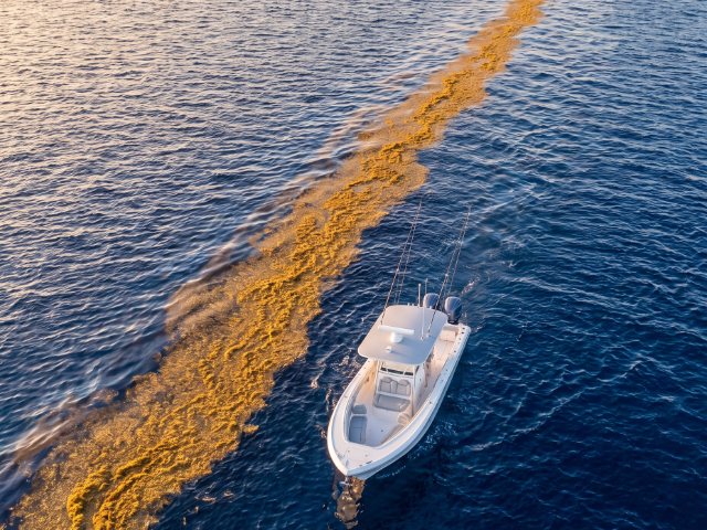
Offshore
yellowfin tuna, bigeye tuna, bluefin tuna, wahoo, tilefish, mahi-mahi, white marlin, blue marlin
Nearshore
black sea bass, tautog, summer flounder, Atlantic croaker, bluefish, striped bass, triggerfish
Offshore
white marlin, mahi-mahi, tilefish, yellowfin tuna, bigeye tuna, wahoo
Nearshore
summer flounder, black sea bass, bluefish, tautog, triggerfish, striped bass
Offshore, tuna run in every season, and billfish, mahi-mahi and wahoo fill summer and autumn. Nearshore, tautog, striped bass and black sea bass anchor the cold months, and summer flounder run from spring through autumn.
Some of these species have closed periods, including black sea bass, tautog and certain sharks. Check the Regulations section before keeping fish.
Temperature breaks and color edges shift with wind and current. In Breakpoint, these three layers show those edges and the bottom structure near them.
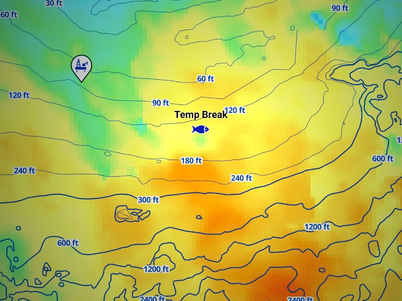
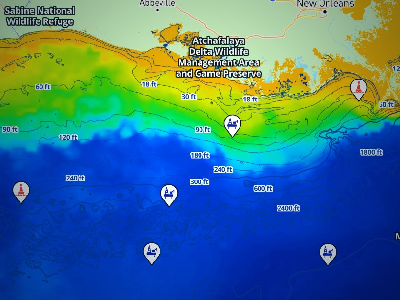
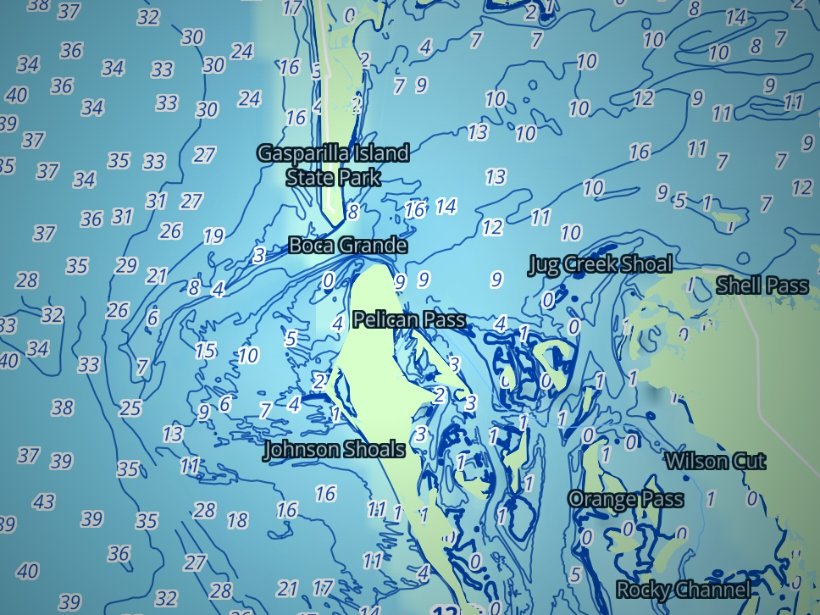
Clouds block satellite SST passes, so some days show gaps. Chart layers are not for navigation.
Charters and tournaments
Indian River Marina’s charter fleet and head boats sail from the inlet. A charter or head boat license covers everyone fishing aboard, so passengers who fish only from that boat need no separate FIN.
The Delaware Sport Fishing Tournament runs under DNREC’s tournament rules:
Regulations
Delaware fishing regulations split by jurisdiction. The DNREC Division of Fish and Wildlife sets the rules in state waters. Check its page before you fish, since limits change by season and quota.
| Water | Who sets rules | Key point |
|---|---|---|
| Delaware Bay and ocean to 3 nm | DNREC Division of Fish and Wildlife (7 DE Admin Code 3500) | Delaware license or FIN required |
| 3 to 200 nm | NOAA Fisheries, Mid-Atlantic Council, ASMFC (50 CFR 648, 622, 697) | Federal permits by species |
Anyone 16 or older fishing on their own needs a general fishing license and a free FIN number. Even license-exempt anglers need a FIN. An individual license includes the FIN automatically. See the Delaware license and FIN rules for exemptions and details.
Fees:
A FIN is available through a free Digital DNREC account, the "Quick FIN" link (no account needed) or a license agent.
Delaware has no license reciprocity with other states. It does not recognize federal FINs or other states’ FINs. Failing to give a valid FIN to an enforcement agent counts as having no license.
In federal waters, summer flounder and black sea bass follow the rules of the state where you land. A boat returning to Delaware keeps Delaware’s limits.
Striped bass are closed beyond 3 nm. Fishing for, harvesting or possessing them in the EEZ is prohibited under the striped bass EEZ closure.
A private vessel that fishes for or keeps Atlantic tunas, billfish, swordfish or sharks needs the NOAA HMS Angling Permit. Check NOAA for limits and reporting.
For golden or blueline tilefish, a private vessel needs the free Private Recreational Tilefish Vessel Permit, applied for through Fish Online. A trip report is required for every trip that targets or catches tilefish. Golden tilefish may be taken by rod and reel only, with a maximum of 5 hooks per rod.
Mahi-mahi and wahoo follow federal rules under 50 CFR 622. Delaware sets no state limit for them. Check NOAA Fisheries for current figures.
The Delaware Department of Natural Resources and Environmental Control (DNREC), Division of Fish and Wildlife, sets the tidal finfish rules for the Atlantic out to 3 nautical miles and Delaware Bay; federal waters run from 3 to 200 nautical miles. Many limits follow Atlantic States Marine Fisheries Commission and Mid-Atlantic Fishery Management Council plans.
The species-by-species size, bag and season rules are on the Delaware fishing regulations page. Official source: Delaware tidal seasons, size and creel limits.
FAQ
Official answers come from the state wildlife agency and NOAA Fisheries. Check them before you go.
No. The boat’s charter or head boat license covers everyone fishing aboard, and no separate FIN is needed. Anyone 16 or older fishing from shore or a private boat needs a license and a free FIN from DNREC.
State waters run 3 nautical miles from the ocean shoreline, and federal waters run from 3 to 200 nm. Delaware Bay is separate from the ocean, divided by the line from Cape May Point to Cape Henlopen Point. DNREC manages state waters, and NOAA Fisheries manages federal waters.
Yes, on a private boat. The HMS Angling Permit from NOAA Fisheries covers Atlantic tunas, billfish, swordfish and sharks. Check NOAA for current limits, sizes and reporting before you go.
No. Striped bass are closed in the EEZ under 50 CFR 697. They may be kept only in state waters, under DNREC rules. Check DNREC for the current slot and season before fishing.
A private boat needs the free Private Recreational Tilefish Vessel Permit from NOAA Fisheries, applied for in Fish Online. A trip report is required for every trip that targets or catches tilefish. Golden tilefish are rod and reel only, with a maximum of 5 hooks per rod.
Use the free DNREC Delaware Reef Guide, available from the Little Creek office at (302) 735-2960. Pair it with NOAA charts 12304 and 12214. Delaware has 14 permitted artificial reef sites in the bay and along the coast.
Use the NWS marine forecast for zone ANZ820, Hudson Canyon to Baltimore Canyon to 1000 FM. Pair it with OBS SST to find edges. Chart layers are not for navigation, so use official charts to get there.
Ranked hotspots, live ocean layers and offline maps.
Open Breakpoint