




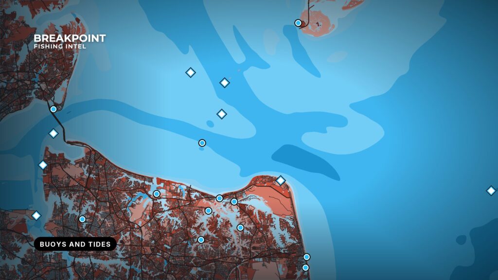
Breakpoint puts the National Oceanic and Atmospheric Administration’s buoy and tide stations on the map, so you can check what a nearby station is reporting before you leave the dock and see the tide for the day without leaving the app. You’ll find them on both Map Intel and Fish Intel.
What the map shows
Each station is a pin you can tap. The pins come in groups, and you choose which groups to show in the layers menu:
- Buoys from the National Data Buoy Center, on by default.
- Tide stations from NOAA CO-OPS, on by default.
- Oil rigs that report weather, on by default.
- Coastal stations, such as piers and lighthouses, off by default.
- Tsunami and Tropical buoys, off by default.
What you see when you tap one
Buoys, rigs and coastal stations show their latest report, covering whatever that station measures, such as wind, waves and water temperature. The data feed refreshes every 15 minutes. Each pin shows how recent its report is: green for under 2 hours old, amber for 2 to 24 hours, and gray when a station has gone quiet for more than a day. Quiet stations are hidden unless you switch on Show Offline, so the map stays readable.
Tides, worked out on your phone
Tide stations don’t send readings. The app calculates the tide curve on your phone from each station’s published harmonic constants, so predictions are always current and keep working offshore with no signal once a station has been opened.
A map covering the whole Gulf has hundreds of tide stations, so Breakpoint starts with the ones near you: tide stations within 20 miles of your position. Pick up to three favorites and the map shows only those. The Weather screen has a Tide Stations card for your favorites with the next tide, the water level now and the water temperature.
Using it
- Open the layers menu and find the Stations section.
- Turn on the groups you want.
- Tap a pin for the latest report or the tide curve.
Station readings describe one point in the water. Use them with the rest of the map and check conditions yourself before you go.
See how the stations fit with the other layers in Breakpoint map layers explained, and how to put a trip together in plan a fishing trip with Breakpoint.