Spring
Offshore
all-depth halibut, deep bottomfish
Nearshore
lingcod, rockfish, nearshore halibut




Washington offshore fishing runs from the Columbia River bar to Cape Flattery, fished out of a handful of ports that each open onto different water. This page covers which port suits which target, what the water does through the year, and which agency’s rule applies at which distance from shore. The same water continues south into Oregon and the rest of the West Coast.
 By Breakpoint Team
The coast
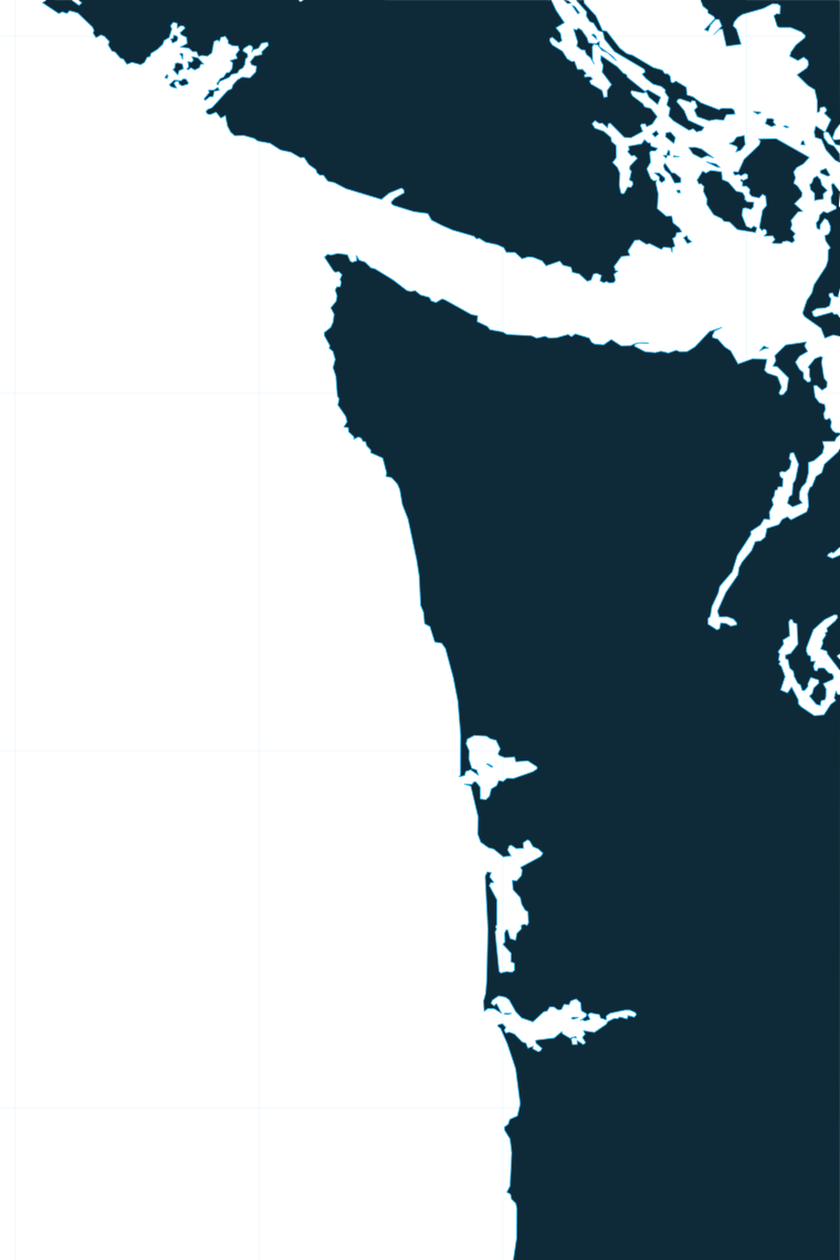
The coast changes character every 40 or 50 miles. Four stretches do most of the work.
The Columbia River bar and plume. Ilwaco sits just inside the bar. The river’s plume spreads fresh, turbid water offshore, and Buoy 10 marks the line between the river and Marine Area 1. Read the Columbia River Bar buoy, NDBC Station 46029, 20 nm west of the river mouth, before you cross. WDFW advises planning the crossing around the outgoing tide, with conditions that suit both the run out and the return.
The Grays Harbor shelf and Grays Canyon. Westport works a broad shelf. Grays Canyon cuts the shelf edge offshore, and albacore boats and deep bottomfish boats orient to it.
The rocky North Coast. From the Queets River north, the bottom gets rockier and the ports get smaller. The "C" shaped yelloweye rockfish conservation area off La Push is closed to bottomfish and halibut fishing. This stretch lies within the Olympic Coast National Marine Sanctuary.
Cape Flattery and Juan de Fuca Canyon. Neah Bay sits at the corner where the ocean meets the Strait. Juan de Fuca Canyon runs offshore from the Strait entrance. The Bonilla-Tatoosh line divides ocean water from Strait water inside Marine Area 4.
For species and water across the region, see the wider Pacific Northwest picture.
Ports
Five ports carry the offshore fishery. Long Beach and Ocean Shores sit on the same coast and see local traffic, but the grounds below are fished from the five ports listed. Tap a number on the map, or a stretch below, to zoom in on its ports.
1 port
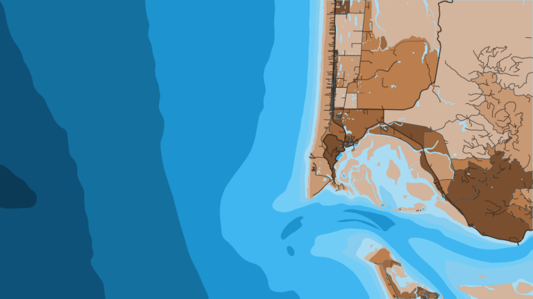
Marine Area 1 runs from the Buoy 10 line at the river mouth north to Leadbetter Point, along the Long Beach Peninsula.
1 port
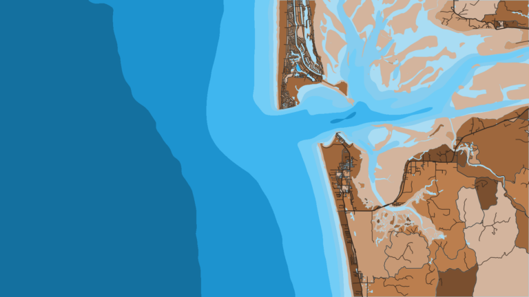
Marine Area 2 runs from Leadbetter Point to the Queets River. It includes the Grays Harbor entrance and Ocean Shores on its north side.
1 port
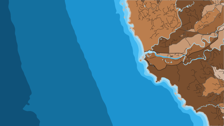
Marine Area 3 runs from the Queets River to Cape Alava. The bottom is rocky and fewer boats fish it.
Seasons
What tends to be around each season. Open seasons are covered under Regulations.
Offshore
all-depth halibut, deep bottomfish
Nearshore
lingcod, rockfish, nearshore halibut
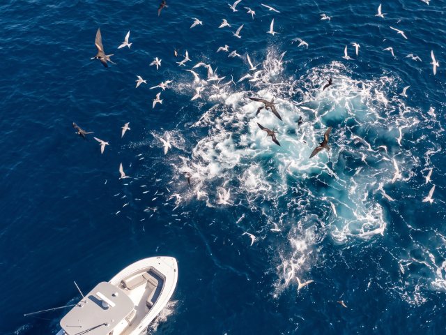
Offshore
albacore, all-depth halibut, deep bottomfish
Nearshore
chinook and coho salmon, lingcod, rockfish
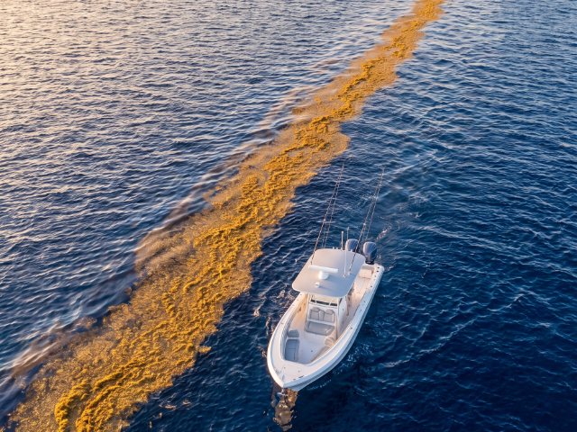
Offshore
albacore into early fall
Nearshore
coho salmon, lingcod and rockfish until the coastal bottomfish season closes, Dungeness crab
Offshore
coastal bottomfish closed west of the Bonilla-Tatoosh line
Nearshore
Dungeness crab, bottomfish in Area 4 east of the Bonilla-Tatoosh line
Salmon and halibut seasons are set each year, and halibut closes when the quota is taken. The table shows what typically runs, not what is open on a given day.
Albacore follow warm, blue water, and the position of that edge shifts each summer. Use the OBS SST and Chlorophyll layers to find the warm edge and the color break, then add the Chart Contours layer at Grays Canyon and Juan de Fuca Canyon to see where the edge crosses structure. A cloud-blocked SST pass leaves gaps, so check the next clear pass. Chart layers are not for navigation.
Temperature breaks and color edges shift with wind and current. In Breakpoint, these three layers show those edges and the bottom structure near them.
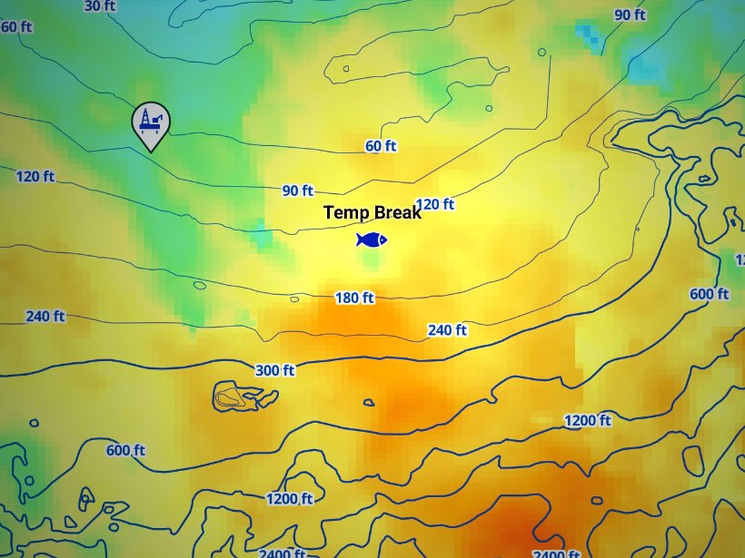
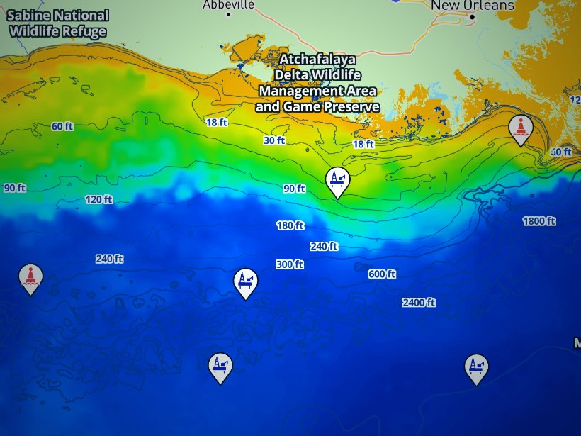
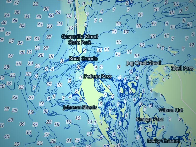
Clouds block satellite SST passes, so some days show gaps. Chart layers are not for navigation.
Charters and tournaments
Westport has the largest charter fleet on the coast. Ilwaco and Westport are the two main albacore charter ports, and Neah Bay and La Push run salmon, bottomfish and halibut trips. Charter boats need a WDFW charter license, and charter vessels fishing tuna in the EEZ hold a federal Pacific HMS permit. Westport and Ilwaco host summer salmon and tuna events. Dates, entry and rules come from the organizers. Fish caught in a tournament fall under the same state and federal rules described below.
Usually May
Usually August
Usually October
Regulations
WDFW sets the rules for Marine Areas 1 through 4. Check the full Washington ocean rules before you fish. These limits hold for Areas 1 through 4:
Two lines decide whose rules you fish under. The first is 3 nautical miles from shore.
State waters run from shore to 3 nautical miles, and WDFW manages them. Federal waters, the exclusive economic zone, run from 3 to 200 nautical miles and are managed by the Pacific Fishery Management Council and NOAA Fisheries. Federal groundfish and tuna rules do not override more restrictive state rules.
The second line is the dock. Anyone bringing fish caught in Pacific Ocean waters into Washington is subject to Washington’s landing rule text, covering fishing, possession and licensing. A boat that fishes off Oregon and returns to Ilwaco must land fish that meet the rules at the point of landing. Bottomfish caught off Oregon cannot be landed in Washington unless they meet the landing area’s rules.
Inside state management, Washington marine area definitions split the coast into four areas:
Each area carries its own season and depth rules. You may not fish an area while holding catch that does not meet that area’s rules, though passing through is allowed.
Halibut management runs down a chain. The IPHC sets the catch limit for Area 2A, which covers Washington, Oregon and California. The Council’s halibut management page explains the Catch Sharing Plan that divides it. NOAA Fisheries publishes each year’s recreational rule, the annual federal halibut rule. WDFW then sets the days within each subarea: Columbia River, South Coast, North Coast, and Puget Sound/Strait. Halibut counts against the subarea of the port where it is landed, and it may not be landed at a port in a closed area.
The North Coast yelloweye rockfish conservation area off La Push is closed to halibut and bottomfish fishing. Its bounds are 48°00′ N to 48°18′ N and 124°59′ W to 125°18′ W. Vessels may transit it with halibut aboard. Halibut fishing is allowed inside the South Coast and Westport Offshore areas.
Albacore is the one case where the state and federal rules differ in a way you can count. WDFW sets no daily or possession limit. The federal albacore bag limit allows 25 per 24-hour period if any part of the trip is in the U.S. EEZ off Washington, Oregon or California, and the vessel operator is responsible. The stricter rule applies where it applies, so check NOAA Fisheries before you run offshore.
Salmon seasons are set each year through the Council and the North of Falcon process.
Salmon and halibut seasons are set each year, and each closes when its quota is taken. In-season changes appear in WDFW emergency rule changes, and emergency rules replace pamphlet rules.
Anglers 16 and older need a valid saltwater or combination license. Keeping halibut requires a catch record card with the halibut option. Record each fish in ink or in the electronic card before you fish again, and return the card by April 30, even with no catch. Ocean salmon fishing requires single-point barbless hooks, and size and bag limits are set each year.
Check WDFW before every trip.
Choose the port by target, read the water before you go, and know which line you are fishing on. Find your port in the Washington port guides on breakpointmaps.com, check WDFW, and read the buoy. Breakpoint does not promise fish; it gives you a better basis for deciding where to look.
The Washington Department of Fish and Wildlife (WDFW) sets the rules for ocean fishing in Marine Areas 1 to 4 and publishes them in the Washington Sport Fishing Rules pamphlet. Federal waters add rules from NOAA Fisheries and the Pacific Fishery Management Council, and tuna, billfish and sharks follow NOAA’s highly migratory species rules.
The species-by-species size, bag and season rules are on the Washington fishing regulations page. Official source: WDFW marine area rules.
FAQ
Official answers come from the state wildlife agency and NOAA Fisheries. Check them before you go.
In practice, yes. Washington rules, including licensing, apply to fish landed in Washington, so a Washington license plus any required catch record card covers the trip. Charter vessels fishing tuna in the EEZ also carry a federal Pacific HMS permit. See the full Washington ocean rules for the state side.
WDFW sets no daily limit for albacore. The federal EEZ text sets 25 per 24-hour period when any part of the trip is in the EEZ. The stricter rule applies where it applies, so check NOAA Fisheries before you go.
Halibut seasons are set each year by subarea under the IPHC Area 2A catch limit, and each closes when its quota is taken. WDFW publishes the open days. Check its halibut page before you book a trip.
Ilwaco and Westport are the two main albacore ports. Which is closer depends on where the warm edge sits that summer. Read OBS SST to see it, then pick the port that puts you nearest.
Yes, from a vessel within 3 miles of shore between Cape Falcon and Leadbetter Point. Oregon rules apply in Oregon waters, even if you return to a Washington port. Fish landed in Washington must meet the rules at the point of landing.
A working descending device must be aboard and ready for immediate use whenever you fish for or hold bottomfish or halibut, in state and federal waters. Federal rules require that it be available to show an enforcement officer.
Read NDBC 46029, the Columbia River Bar buoy, for wave height and period. Read the NWS marine forecast as well. Plan around the outgoing tide, both outbound and on the return.
Ranked hotspots, live ocean layers and offline maps.
Open Breakpoint