Winter
Offshore
bluefin tuna; deep-drop golden tilefish (blueline tilefish closed, check VMRC and NOAA)
Nearshore
tautog, striped bass (state waters only)




Virginia offshore fishing runs from the Eastern Shore barrier islands and Washington Canyon, south past the mouth of the Chesapeake Bay and the Bridge-Tunnel, through Virginia Beach and Norfolk Canyon, to the North Carolina line. This guide covers where you launch, what runs when, and whose rules apply where you fish. The rules change at the 3-mile line, and tunas and billfish require federal permits everywhere.
 By Breakpoint Team
The coast
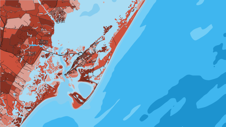
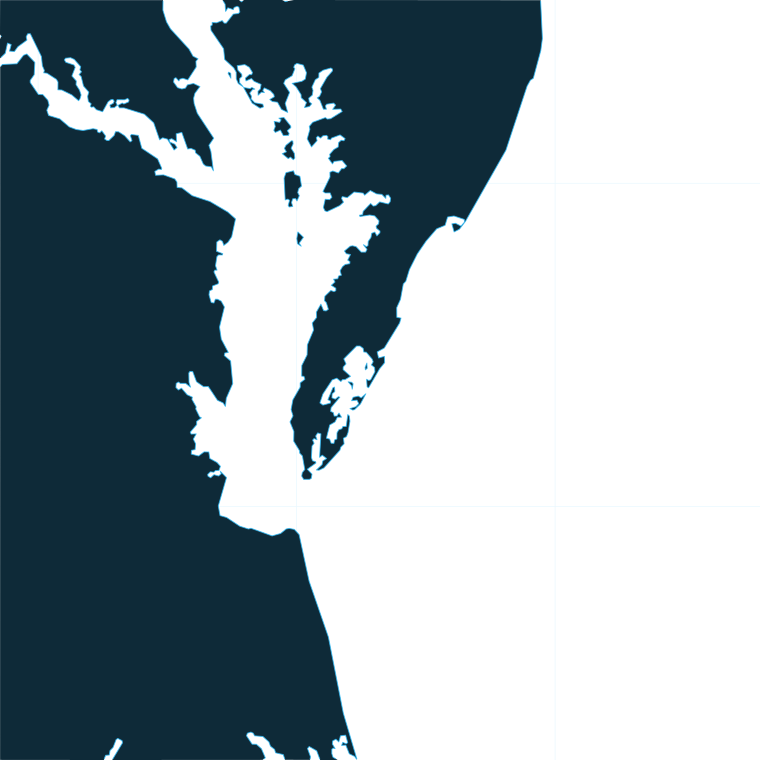
Eastern Shore seaside. A chain of barrier islands and inlets runs down the seaside of the peninsula. Behind and off the islands, the inshore and nearshore water holds flounder and red drum. Washington Canyon is the northern canyon, reached from Chincoteague and Wachapreague. Past it, the canyon fisheries continue up the Northeast Atlantic coast.
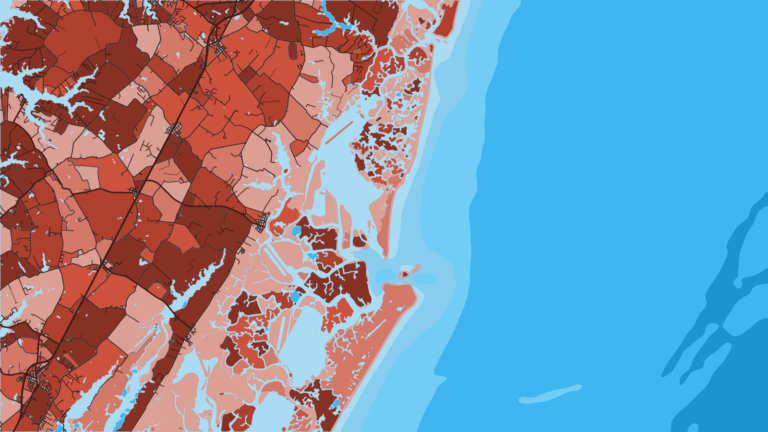
The Bay mouth. The Chesapeake Bay Bridge-Tunnel is nearshore structure for tautog, striped bass and cobia. Cape Charles sits on the bayside of the Eastern Shore, and Lynnhaven Inlet is on the southern side. Striped bass rules differ between the Bay and the coastal area, so read the Regulations section before you target them.
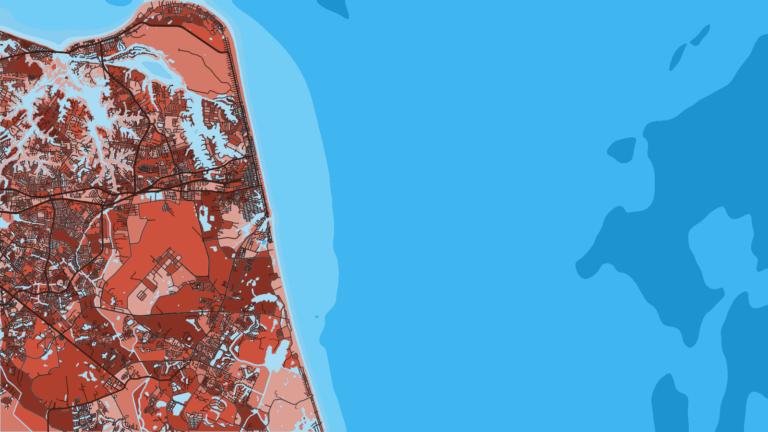
Virginia Beach. Rudee Inlet opens directly on the ocean. The Chesapeake Light Tower and the Triangle Wrecks provide nearshore and midrange structure. Norfolk Canyon is the southern canyon, where you fish for tunas and billfish and deep-drop for tilefish.
The NC line. The Mid-Atlantic Fishery Management Council and the South Atlantic Fishery Management Council meet at the Virginia-North Carolina line. South of it, South Atlantic council regulations apply, including the snapper-grouper rules. Our Southeast Atlantic fishing guide covers that water.
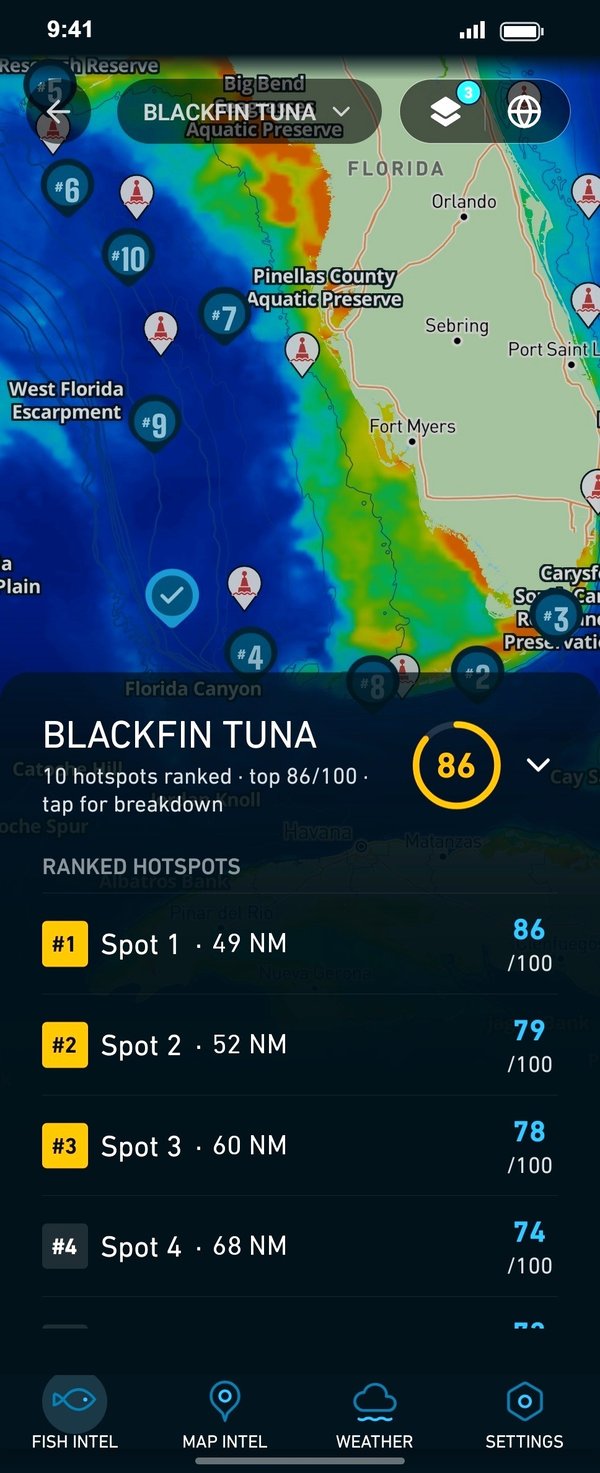
Before a run, Breakpoint layers help you line up the water:
SST shows the surface only, and a cloud pass leaves gaps. Chart layers are not for navigation.
Ports
The ports fall into two stretches: the Eastern Shore seaside and Virginia Beach at the Bay mouth. Tap a number on the map, or a stretch below, to zoom in on its ports.
2 ports
Barrier-island inlets open to the ocean here, with the shortest run to Washington Canyon. Cape Charles sits on the bayside of the same peninsula.
1 port
Rudee Inlet is on the ocean side, and Lynnhaven Inlet sits just inside Cape Henry, with the Bridge-Tunnel close by.
Seasons
What tends to be around each season. Open seasons are covered under Regulations.
Offshore
bluefin tuna; deep-drop golden tilefish (blueline tilefish closed, check VMRC and NOAA)
Nearshore
tautog, striped bass (state waters only)
Offshore
bluefin tuna in late spring
Nearshore
tautog, red drum on the Eastern Shore
Offshore
white marlin, blue marlin, yellowfin tuna, mahi, wahoo
Nearshore
cobia, flounder, red drum, Spanish mackerel, sea bass on the wrecks
Offshore
white marlin, blue marlin, yellowfin tuna, mahi and wahoo into fall; deep-drop tilefish
Nearshore
tautog, striped bass (state waters only)
Fish move with water temperature, so treat the table as a general pattern. Open seasons come from the agencies.
Open seasons for cobia, sea bass, striped bass and blueline tilefish are set by the agencies and change, so check before you go.
Temperature breaks and color edges shift with wind and current. In Breakpoint, these three layers show those edges and the bottom structure near them.
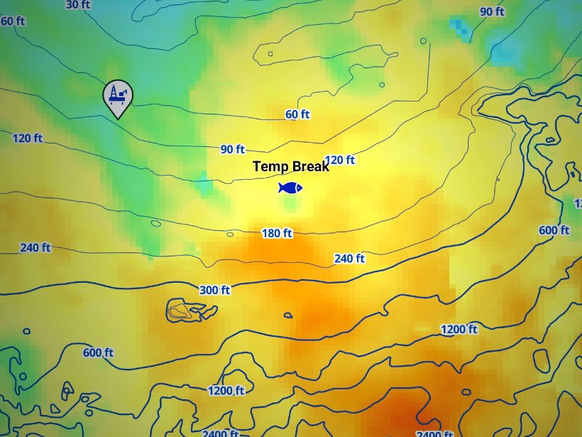
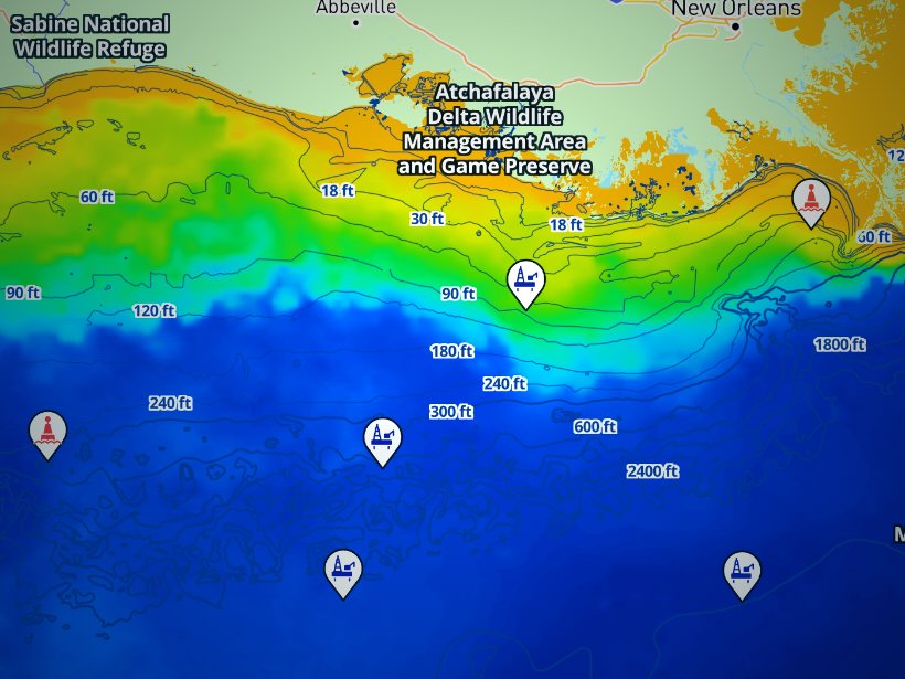
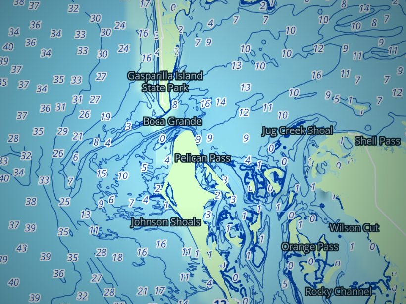
Clouds block satellite SST passes, so some days show gaps. Chart layers are not for navigation.
Charters and tournaments
Charter fleets run from Virginia Beach (Rudee and Lynnhaven) and the Eastern Shore ports. Trips fall into three types:
Licensed Virginia charters and headboats carry their own state license. Passengers need no paid license and no FIP registration.
The Virginia Saltwater Fishing Tournament is the state’s citation program, run by VMRC. Citations go to fish that meet a minimum weight or length, for capture or release. Ask VMRC for the species list and thresholds. The Virginia Beach Billfish Tournament is a major offshore billfish event on this coast.
Regulations
Three layers of jurisdiction apply:
Full species limits for state and federal waters are on our Virginia regulations page.
The Virginia Marine Resources Commission rules govern everything from shore to the 3-mile line, including the Bay and the tidal rivers. A few standing rules apply:
Striped bass have separate Bay and coastal rules. Check VMRC for the current ones.
Three bodies split the management:
Three details catch anglers out:
Private and charter vessels need a federal permit to fish for Atlantic tunas, billfish, swordfish and sharks. You can buy it through the NOAA HMS permit portal. NOAA HMS sets bag limits, sizes and reporting, so check NOAA for those.
Virginia adds its own rule: selling white marlin, blue marlin, sailfish or longbill spearfish is unlawful under the Virginia billfish sale rule.
Check VMRC and NOAA before every trip.
FAQ
Official answers come from the state wildlife agency and NOAA Fisheries. Check them before you go.
No. Passengers on a licensed Virginia charter or headboat need no paid license and no FIP registration.
At 3 miles offshore. VMRC rules apply inside that line, and federal rules apply from 3 to 200 miles.
A federal HMS permit for your vessel, from NOAA Fisheries. It also covers billfish, swordfish and sharks. Check NOAA for limits and reporting.
No. Fishing for or keeping striped bass in federal waters is prohibited all year. State-water rules apply only inside the 3-mile line.
Norfolk Canyon from Virginia Beach. Washington Canyon from Chincoteague and Wachapreague.
Use the agency pages before every trip. Our Virginia regulations page points to both. VMRC sets state-water limits and NOAA sets federal-water limits.
Other coasts and states are on the US map.
Ranked hotspots, live ocean layers and offline maps.
Open Breakpoint