Winter
Offshore
yellowfin tuna, blackfin tuna, wahoo
Nearshore
bull redfish, sheepshead, speckled trout




Louisiana offshore fishing rests on three things: a river that pushes bait-rich water onto the shelf, thousands of platforms that hold fish, and deep water that comes closer to shore off the Mississippi River delta than anywhere else on this coast. Louisiana is one of the Gulf states we map (see all U.S. regions). This page runs west to east through the ports, the seasons, and the line where state rules end and federal rules begin.
 By Breakpoint Team
The coast
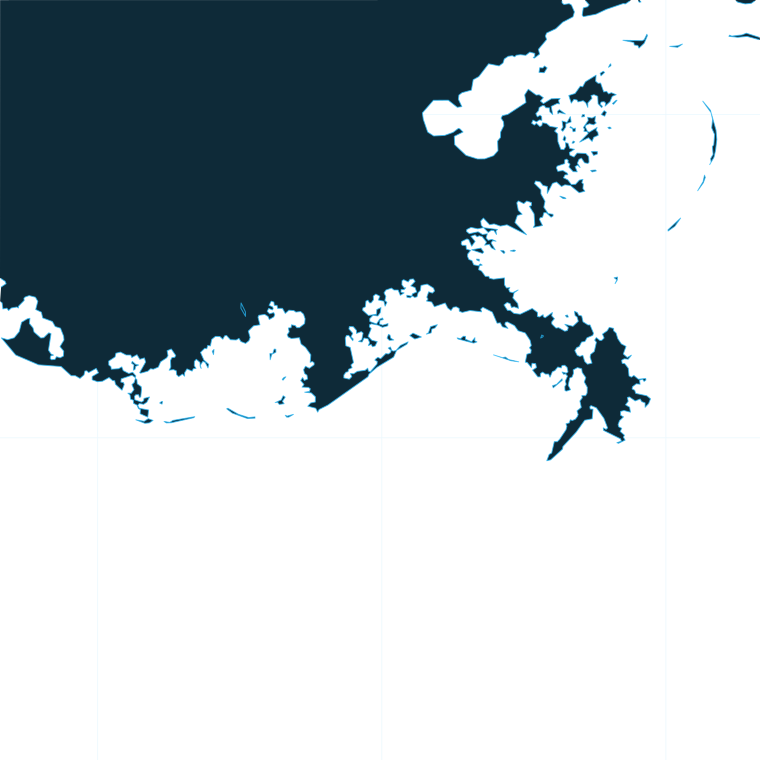
The western end of the coast sits near the Texas line, around Cameron and Intracoastal City. The shelf there is broad and shallow, the run to deep water is long, and fewer platforms stand than farther east.
The central coast looks different. Off Terrebonne and Lafourche, dense fields of oil and gas platforms stand on the shelf. Each platform is structure that holds bait, and bait holds fish, so oil rig fishing is the backbone of this stretch. Farther out, floaters (floating production platforms moored in deep water) do the same job over much deeper water.
The eastern end belongs to the Mississippi River delta. The river pushes a plume of muddy green water toward the deep, and where it meets blue water you get a color edge and often a temperature edge. The Midnight Lump is a named delta ground that anglers fish for that reason. On the east side of the river, Hopedale/Shell Beach is another launch point for the same waters.
The Loop Current, its eddies and seasonal shelf patterns move these deep-water edges around the whole Gulf. Our Gulf fishing guide covers how those larger features work.
Satellite SST misses water under cloud and under the river’s thin surface layer, and a forecast is only a forecast. Before any run, read the NWS marine forecast for wind, wave height and period.
Ports
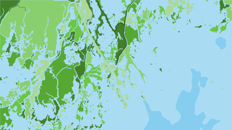
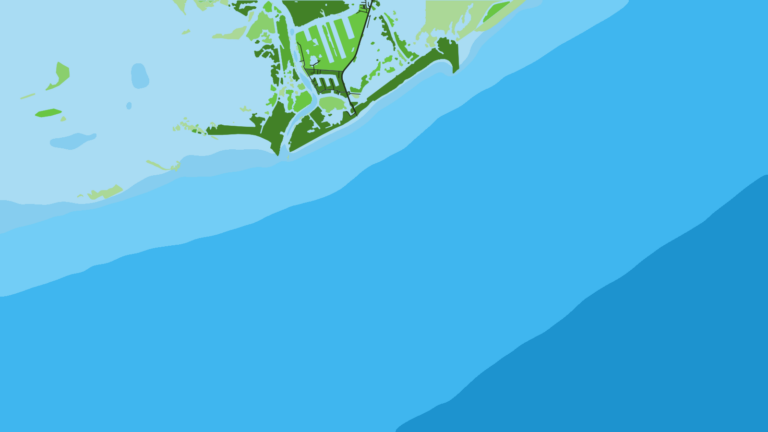
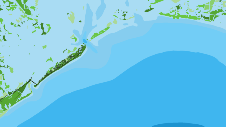
The ports below run west to east along the coast, grouped by stretch. Tap a number on the map, or a stretch below, to zoom in on its ports.
1 port
Bayou Lafourche runs to the Gulf at Port Fourchon, an energy-industry port in the middle of dense rig fields.
1 port
The barrier islands of Barataria Bay face the shelf west of the river.
1 port
The delta reaches toward deep water, and the river plume meets blue water offshore.
Seasons
What tends to be around each season. Open seasons are covered under Regulations.
Offshore
yellowfin tuna, blackfin tuna, wahoo
Nearshore
bull redfish, sheepshead, speckled trout
Offshore
yellowfin tuna, blackfin tuna, mahi-mahi, red snapper (when open)
Nearshore
cobia, sheepshead, speckled trout
Offshore
yellowfin tuna, blue marlin, mahi-mahi, red snapper (when open)
Nearshore
tripletail, king mackerel, speckled trout
Offshore
yellowfin tuna, wahoo, amberjack (when open), grouper (when open)
Nearshore
bull redfish, speckled trout, cobia
The table lists what anglers target by season. Conditions and regulations decide any given day.
Seasons marked "when open" follow state and federal declarations. See Regulations below.
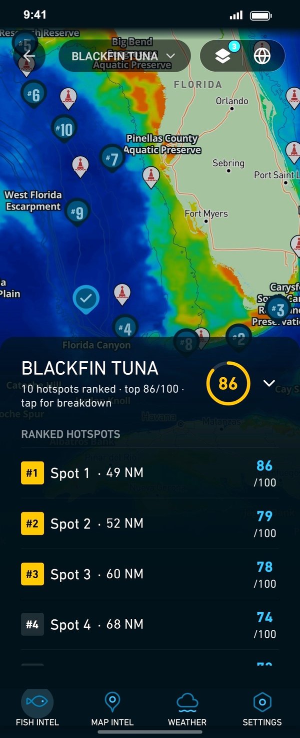
Before you pick a port, check where the temperature edge and chlorophyll break sit on OBS SST and Chlorophyll. Chart Contours shows where the shelf drops. Chart layers are not for navigation.
Temperature breaks and color edges shift with wind and current. In Breakpoint, these three layers show those edges and the bottom structure near them.
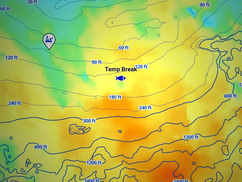
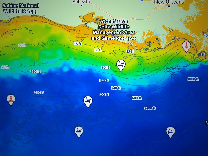
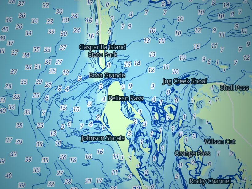
Clouds block satellite SST passes, so some days show gaps. Chart layers are not for navigation.
Charters and tournaments
The captain’s Charter ROLP covers paying charter clients. Before you book, ask whether the boat holds the federal reef fish permit, because a charter without it cannot fish reef fish in federal waters.
Three tournaments are tied to the ports above:
Dates and rules come from each organizer, so check with them directly.
Regulations
Seasons close on quota, so check LDWF before every trip. For limits by species, see the full Louisiana rules by species.
The rules divide by distance from shore:
Permits depend on who you are and what you keep:
Red snapper follows the state and federal split. The season is set each year and runs until LA Creel landings approach Louisiana’s allocation, at which point LDWF closes it by declaration. A red snapper caught 12 miles off Fourchon comes from federal waters, yet private anglers fish it under Louisiana’s season and limits. Federally permitted charters follow the separate for-hire season under federal red snapper management.
LA Creel is LDWF’s landings survey, and participation is voluntary. So is reporting red snapper electronically through the ROLP site. Keep your license contact details current so LDWF can reach you.
The Louisiana Department of Wildlife and Fisheries (LDWF) and the Wildlife and Fisheries Commission set the rules for Louisiana state waters, which run out to 3 nautical miles, or 9 nautical miles for reef fish. Reef fish seasons follow the federal season for the same species, and federal waters run to 200 nautical miles.
The species-by-species size, bag and season rules are on the Louisiana fishing regulations page. Official source: LDWF boundaries and regulations.
FAQ
Official answers come from the state wildlife agency and NOAA Fisheries. Check them before you go.
No. The captain’s Charter ROLP covers paying clients. You still need a saltwater license unless you are under 18. LDWF issues both the license and the permit.
At 9 nautical miles for reef fish. Elsewhere, state waters end at 3 nautical miles. Private anglers fish red snapper under Louisiana’s season in state and federal waters. See the Louisiana rules by species for limits.
Venice sits closest to deep water and the floaters. Port Fourchon and Grand Isle reach the rig fields. Pick the port that matches the run you want, then check the edges on OBS SST the night before.
Yes. You need the Atlantic HMS Angling Permit plus a ROLP. NOAA Fisheries issues the federal permit and LDWF issues the ROLP.
No. LDWF’s LA Creel surveys are voluntary, as is reporting red snapper electronically through the ROLP site. Your landings still count toward Louisiana’s allocation.
Only if the boat holds the federal Gulf reef fish charter/headboat permit. Without it, the charter fishes reef fish only in state waters.
Ranked hotspots, live ocean layers and offline maps.
Open Breakpoint