




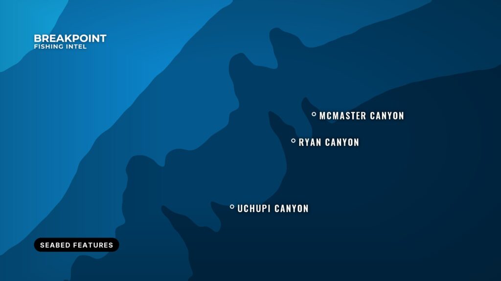
Breakpoint labels the seafloor with the official names of banks, ledges, canyons, seamounts and shoals, so “five miles east of Cashes Ledge” means the same thing on your chart as it does on the radio. The labels appear on Map Intel and Fish Intel.
Where the names come from
Every label is a published name at a published position. Breakpoint draws on three public sources:
- The international undersea feature names kept by the IHO and IOC (the SCUFN gazetteer).
- The US Geological Survey’s national place names, which cover domestic banks, ledges, shoals and channels.
- The NOAA Marine Protected Areas Inventory, for managed-area names.
Names are shown as the source publishes them, with the type of feature after the name, such as “Campeche Bank”.
How the labels behave as you zoom
The map shows only as many names as it can fit. Zoomed out, you see the large landmarks for the whole region. Zoom in to about the scale of a day trip and more named ground appears, and closer still, everything with an official name. There is no setting to manage: zoom is the filter, and when two names collide the more important one is kept.
What the names are for
A name tells you where a place is, not whether it holds fish. Breakpoint does not name the structure it detects itself. Those detections are scored in the hotspot rankings and appear on the map as pins, not as named places. Use the names as a shared reference for talking about ground and planning a run, and use the hotspot pins and layers to decide where to fish.
Things to know
- Some labels are managed areas on land, such as state parks and refuges, so you may see a name close to shore that is not a fishing spot.
- Names are only as complete as the public sources. A local spot with no official name will not have a label.
- Names are for reference and not for navigation.
See the other map layers in Breakpoint map layers explained, or read how to read bathymetry contours for the shape of the bottom itself.