Spring
Offshore
yellowfin tuna, wahoo, blue marlin as water warms at the edge; vermilion snapper, gray triggerfish (when open)
Nearshore
cobia and king mackerel runs; reef fish on nearshore reefs




Alabama’s offshore fishery stretches from Dauphin Island and the Mobile Bay outflow in the west to Perdido Pass in the east. This page covers the ports by stretch of coast, what runs through the year, and where state rules end and federal rules begin. It also compares Alabama with the rest of the U.S. coast to help you decide where to look.
 By Breakpoint Team
The coast
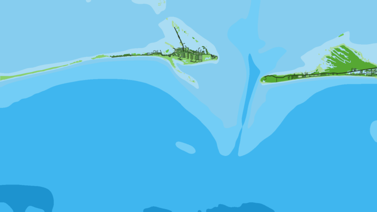
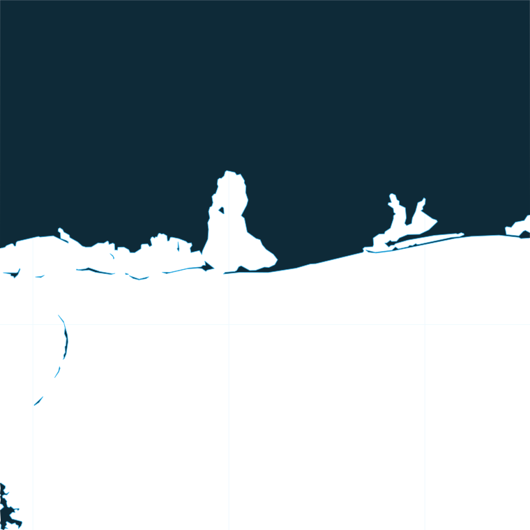
Alabama has a short east-west coast split by the mouth of Mobile Bay. Dauphin Island sits to the west. Fort Morgan marks the east point of the bay mouth, and Gulf Shores, Orange Beach and Perdido Pass lie beyond it. River water leaving Mobile Bay pushes off-color, nutrient-rich water along the coast, often to the west. We read that plume on the Chlorophyll layer, and the clean-water edges show where it stops.
The Alabama Marine Resources Division (MRD) describes its artificial reef program as the largest in the U.S., with public reefs from inshore waters out to 55 nautical miles. MRD sorts them into four zones (Inshore, Nearshore at 0 to 9 nautical miles, Offshore and Circalittoral) and publishes reef waypoints as GPX and KMZ files. The nearshore zone lies inside the 9 nautical mile line that applies to reef fish. The full rule is in the Regulations section below.
Beyond the nearshore zone, reefs continue into federal water. Inside the Alabama Special Management Zone, the Alabama Special Management Zone rules limit gear to hook and line with 3 or fewer hooks per line, plus spearfishing gear, for the vessels the rule covers. The boundary coordinates are in the federal rule.
Farther out, the bottom drops away from reef fish water. You run past oil and gas structure to the shelf break, the DeSoto Canyon edge and the open Gulf, a progression that follows the whole-Gulf picture. Pelagics such as yellowfin tuna, wahoo and blue marlin replace reef fish out there. One limit applies to the data: cloud blocks satellite passes, so a gap on the OBS SST layer is missing data, not cold water.
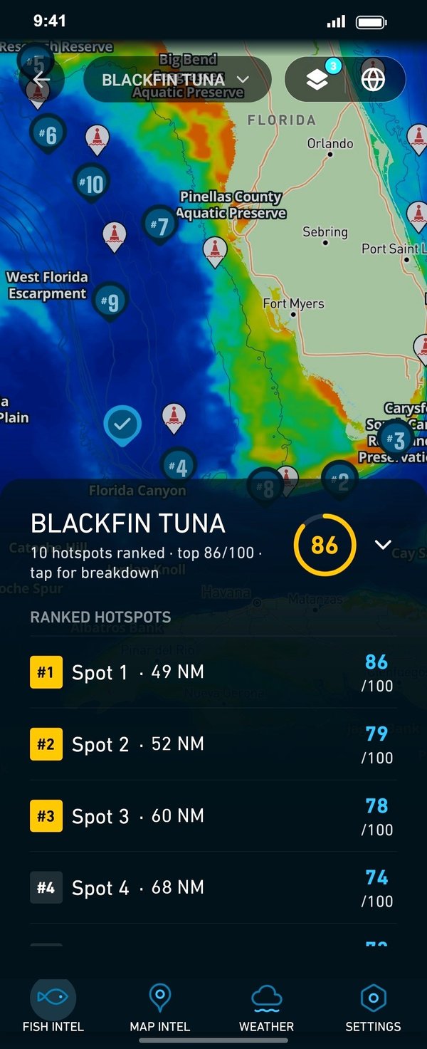
Check the OBS SST, Chlorophyll and Chart Contours layers before choosing between the reefs and the edge. Chart layers are not for navigation.
Ports
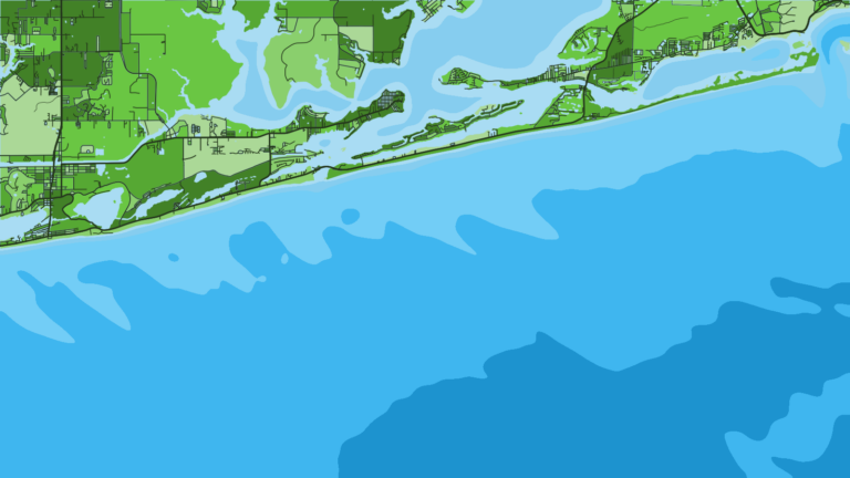
The coast divides into 3 stretches. Each port below is listed with what it is known for. Tap a number on the map, or a stretch below, to zoom in on its ports.
1 port
This western stretch sits on the outflow side of the bay mouth, where the Chlorophyll layer matters most.
1 port
This eastern stretch runs out through Perdido Pass and is the center of the charter fleet.
Seasons
What tends to be around each season. Open seasons are covered under Regulations.
Offshore
yellowfin tuna, wahoo, blue marlin as water warms at the edge; vermilion snapper, gray triggerfish (when open)
Nearshore
cobia and king mackerel runs; reef fish on nearshore reefs
Offshore
blue marlin, yellowfin tuna, wahoo at rigs and the edge; red snapper (when open)
Nearshore
red snapper (when open), king mackerel, vermilion snapper
Offshore
wahoo, yellowfin tuna; greater amberjack and gag (when open)
Nearshore
king mackerel and cobia on the fall run; gray triggerfish (when open)
Offshore
yellowfin tuna and wahoo on workable days; vermilion snapper, red grouper
Nearshore
vermilion snapper and other open reef fish
"When open" means the season is set by MRD or NOAA Fisheries. See the Regulations section below.
Temperature breaks and color edges shift with wind and current. In Breakpoint, these three layers show those edges and the bottom structure near them.
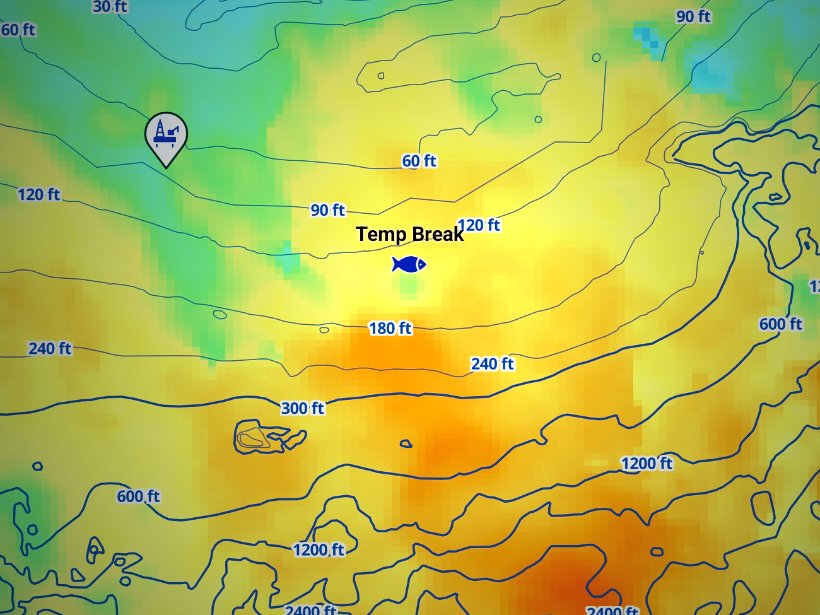
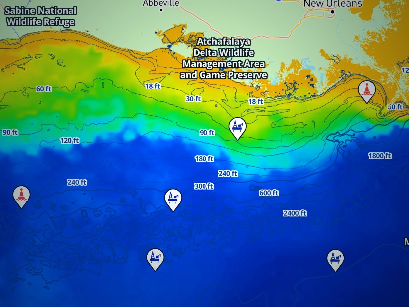
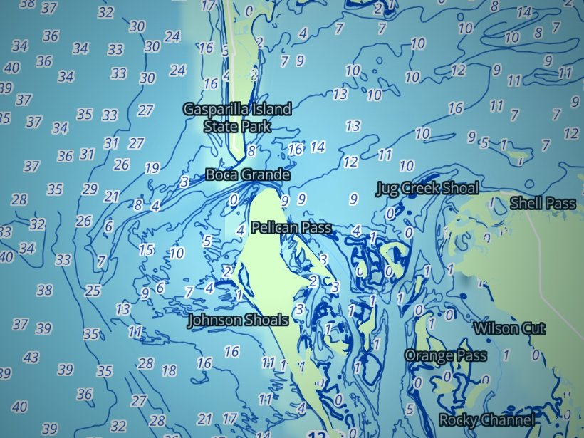
Clouds block satellite SST passes, so some days show gaps. Chart layers are not for navigation.
Charters and tournaments
Charters come in 3 formats: half-day, full-day and overnight. Day trips usually work reef fish, while overnights reach the pelagic grounds. Passengers on a licensed Alabama Commercial Party Boat need no personal saltwater license, and the boat carries MRD’s decal on the starboard side. A charter boat fishing reef fish in federal waters needs federal for-hire permits and follows NOAA’s for-hire red snapper season, so ask the operator which permits the boat holds.
Regulations
Alabama state waters extend 9 nautical miles from the beach for Gulf reef fish, including off Pelican and Sand Island, and 3 nautical miles for every other species. On the plotter, a boat 5 nautical miles out is in state water for red snapper but in federal water for king mackerel and tuna.
MRD (the ADCNR Marine Resources Division) sets the rules. Its MRD saltwater size and creel limits page is the source for every figure here. Alabama reef fish seasons open and close with federal waters, with one exception: MRD sets the red snapper season each year by press release.
Non-stainless steel circle hooks are required with natural bait for reef fish. Possessing red snapper, gray triggerfish or greater amberjack in state waters during a closed season is prohibited. Check MRD before fishing.
The Gulf Council and NOAA Fisheries manage federal waters of the Gulf of America (Gulf of Mexico) beyond the state line. Private anglers in federal waters off Alabama follow Alabama’s red snapper season under state management. Federally permitted for-hire boats follow NOAA’s for-hire season, announced each year.
NOAA sets the gag and greater amberjack seasons, and they can close early when catch targets are reached, so check the NOAA Fisheries rule bulletins before fishing. A dehooking device must be aboard. For descending devices, refer to NOAA.
Anglers 16 and older need an Alabama saltwater fishing license, with exemptions. For any reef fish you also need the Gulf Reef Fish Endorsement on top of it. Snapper Check requires one report per vessel trip, filed before landing, for red snapper, gray triggerfish and greater amberjack. File it in the Outdoor AL app or online. An MRD interview does not count as a report.
The full Alabama regulations tables cover every species, size and bag limit. Chart layers are not for navigation.
Tournament fish fall under the same state and federal rules. Billfish and tuna in federal waters need a federal HMS permit.
Pick the stretch, check what is open, and know which side of the 9 nautical mile line you are fishing. The Dauphin Island and Orange Beach port guides on breakpointmaps.com cover the rest of the planning. For the ocean data behind the decision, download Breakpoint from the App Store or Google Play.
The Alabama Department of Conservation and Natural Resources (ADCNR), Marine Resources Division, sets the rules for Alabama waters, which extend 9 nautical miles for Gulf reef fish and 3 nautical miles for other species. Gulf reef fish seasons open and close with the federal seasons, except red snapper, which the division opens and closes by press release.
The species-by-species size, bag and season rules are on the Alabama fishing regulations page. Official source: Alabama saltwater size and creel limits.
FAQ
Official answers come from the state wildlife agency and NOAA Fisheries. Check them before you go.
State waters end 9 nautical miles from the beach for Gulf reef fish, including off Pelican and Sand Island, and 3 nautical miles for all other species. Federal rules apply beyond that line. MRD is the source.
Not on a licensed Alabama Commercial Party Boat, because the boat’s license covers passengers fishing from it. On a private boat, anglers 16 and older need the saltwater license and, for reef fish, the Gulf Reef Fish Endorsement.
MRD sets it each year by press release. It runs 7 days a week until Alabama’s quota is reached or the year ends. Federally permitted for-hire boats follow NOAA’s season. See the Alabama regulations page for the rules.
Snapper Check is MRD’s mandatory reporting for red snapper, gray triggerfish and greater amberjack. File one report per vessel trip, before landing, in the Outdoor AL app or online.
It is a state endorsement required on top of any Alabama saltwater license for anglers 16 and older who take or possess reef fish: snappers, groupers, amberjacks, triggerfish and tilefish. You add it when you buy the license.
It runs over 3 days in July at Dauphin Island. The organizer is the source for the details.
Half-day and full-day trips usually fish nearshore and offshore reefs. Overnights reach the edge for pelagics.
Ranked hotspots, live ocean layers and offline maps.
Open Breakpoint