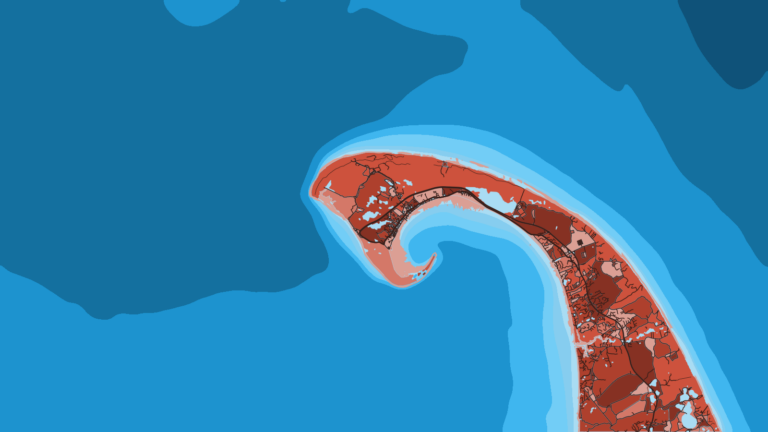
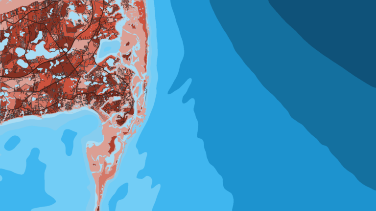
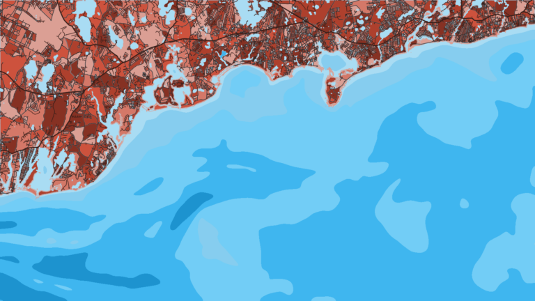
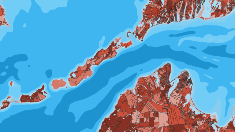
Spring
Offshore
haddock and other groundfish, within closures (check DMF and GARFO)
Nearshore
stripers arriving, then black sea bass, scup and fluke openings (check DMF)




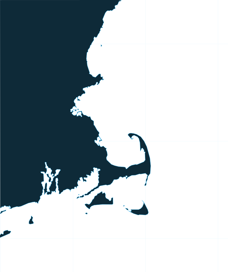
Cape Cod divides Massachusetts offshore water into two fisheries. North of the Cape is Gulf of Maine water, with giant bluefin on Stellwagen Bank and groundfish on the ledges. South and west is Southern New England, with stripers in the rips, bonito and albies, and canyon runs off the Islands. It is one of the states we map along the U.S. coast. This page covers how the coast fishes from end to end, the ports by stretch, what runs each season, and which agency’s rules apply on each side of the 3 nm line.
 By Breakpoint Team
The coast
The haddock and cod stock areas split along the same line as the Cape: Gulf of Maine to the north, Southern New England to the south and west. Inside 3 nautical miles you fish under state rules, and beyond it under federal rules (see Regulations below).
Here is the coast as a waypoint run, from the New Hampshire line to Buzzards Bay:
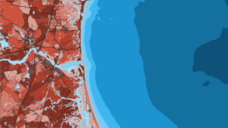
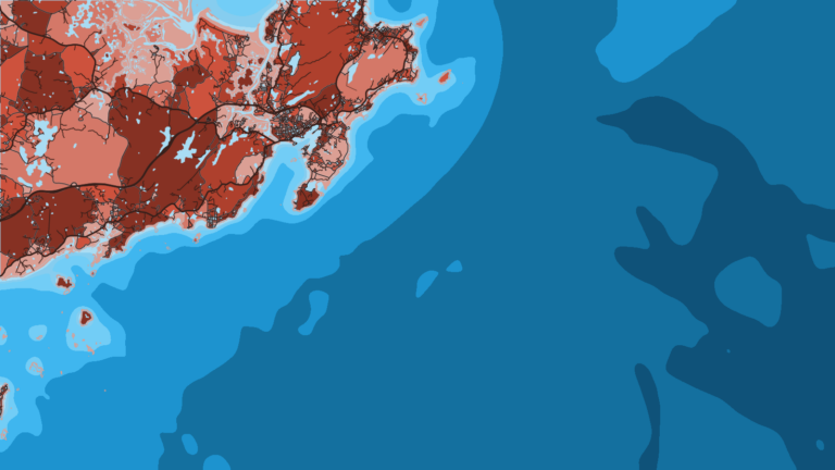
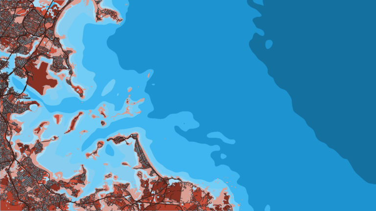
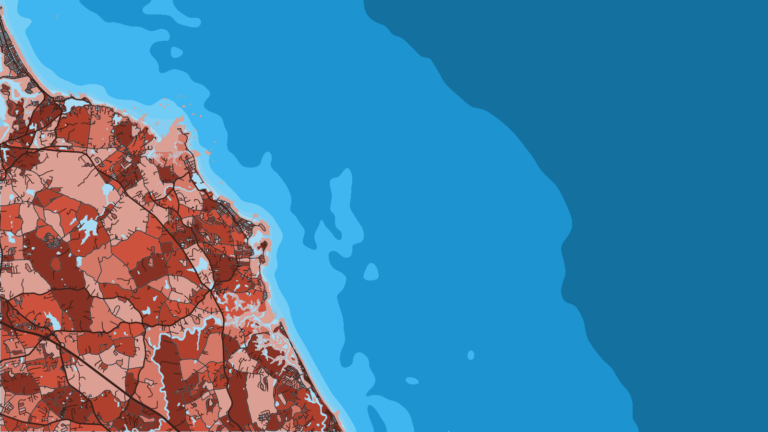
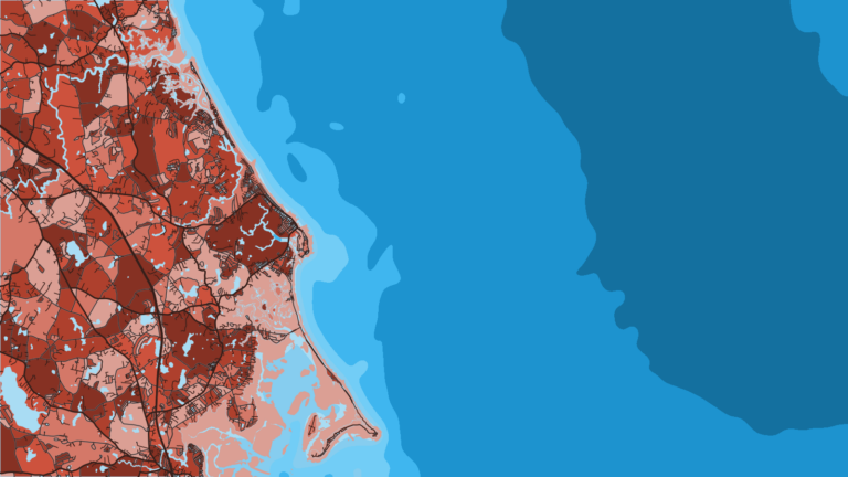
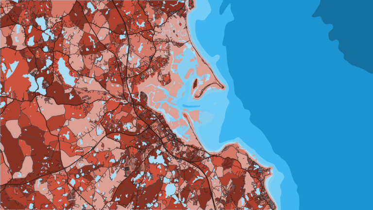
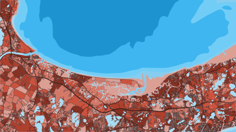
The night before a trip, the map layers help with planning. OBS SST shows where temperature breaks set up off the canyons and along Stellwagen. Chlorophyll shows color and bait water. Chart Contours shows the edges and ledges that hold fish. Chart layers are not for navigation. Cloud cover blocks satellite SST and chlorophyll passes, so a clear gap in the image is missing data, not cold water.
For the larger region, see the wider Gulf of Maine and Southern New England picture.
Ports
Each port below links to its own page with charters, tournaments and local water. Tap a number on the map, or a stretch below, to zoom in on its ports.
2 ports
Gulf of Maine water, with Jeffreys Ledge and the northern end of Stellwagen in range.
4 ports
Massachusetts Bay ports facing Stellwagen, with the South Shore Striper Tournament running along this coast.
3 ports
The bay side and the back side of the Cape, still Gulf of Maine water.
2 ports
South-side water, which falls under Southern New England rules. The Big 3 runs out of Harwich Port, and Cape Cod charters work this side too.
2 ports
Rips, shoals and the shortest jump toward the canyons.
1 port
Protected bay bottom fishing, with offshore departures to the canyons.
Seasons
What tends to be around each season. Open seasons are covered under Regulations.
Offshore
haddock and other groundfish, within closures (check DMF and GARFO)
Nearshore
stripers arriving, then black sea bass, scup and fluke openings (check DMF)
Offshore
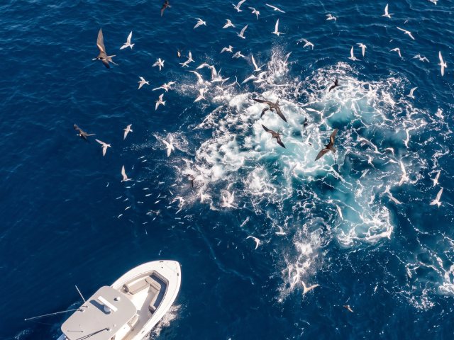
bluefin tuna on Stellwagen and the ledges, sharks, canyon yellowfin, mahi and billfish
Nearshore
stripers, bluefish, fluke, black sea bass
Offshore
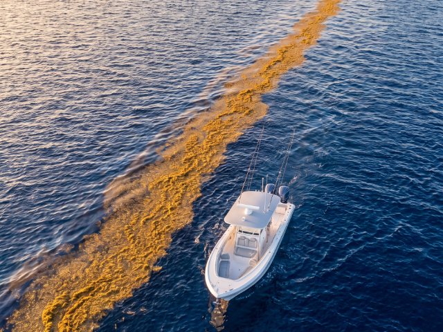
bluefin tuna and the cod window (check the agency)
Nearshore
false albacore, bonito, the striper and bluefish migration, the Martha’s Vineyard Derby
Offshore
limited groundfish under closures (check the agencies)
Nearshore
largely quiet, holdover stripers
Massachusetts offshore and nearshore fishing runs on a four-season cycle, and the agencies set openings for quota species each year.
Confirm openings on the agency pages linked in the Regulations section before you go.
Temperature breaks and color edges shift with wind and current. In Breakpoint, these three layers show those edges and the bottom structure near them.
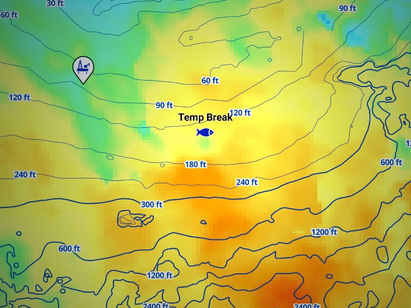
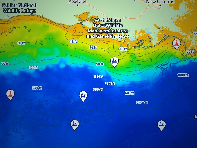
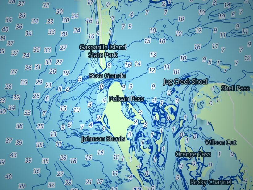
Clouds block satellite SST passes, so some days show gaps. Chart layers are not for navigation.
Charters and tournaments
Regulations
State waters run from shore to 3 nautical miles and are managed by the Massachusetts Division of Marine Fisheries (MassDMF). Federal waters run from 3 to 200 nautical miles and are managed by NOAA Fisheries. Our Massachusetts regulations page is the starting point, and the agency page should be checked before every trip.
Inside 3 nautical miles, MassDMF sets the rules. Its Massachusetts recreational fishing regulations page carries the current limits.
The Massachusetts permit also covers you in federal waters. Striped bass is a state-waters fish: 1 fish, in the 28 to less than 31 inch slot.
Beyond 3 nautical miles, the NOAA Fisheries Greater Atlantic Regional Fisheries Office sets the rules, with the New England and Mid-Atlantic Fishery Management Councils.
Fishing for, keeping or possessing striped bass in federal waters is unlawful. See the federal striped bass closure. Fluke and black sea bass caught in federal waters follow the rules of the state where you land them.
Cod and haddock seasons and closures change, so use NOAA recreational groundfish rules rather than a printed figure. NOAA vessel-speed rules for right whales also affect transit planning, so check NOAA before you run.
NOAA Highly Migratory Species (HMS) manages tunas, billfish, swordfish and sharks, and you need a federal HMS permit to fish for them. The NOAA HMS permits site is where you get it.
The HMS permit sits on top of the state permit and does not replace it. Massachusetts sets no separate recreational tuna limits. Bluefin and mako retention is a NOAA HMS question, so check there before you fish. HMS charter and headboat catch is reported to NOAA Fisheries within 24 hours of landing. State-water and federal-water shark rules differ, so check both MassDMF and HMS.
FAQ
Official answers come from the state wildlife agency and NOAA Fisheries. Check them before you go.
Yes, if you are 16 or older, on a private boat or from shore. The permit costs $10, or $0 for anglers 60 and over, who still need it. It expires December 31 and also covers federal waters. See our Massachusetts regulations page and check the agency before fishing.
No, if the boat holds a for-hire permit. The captain’s permit covers customers. Confirm this with the operator when you book.
Yes. You need a federal HMS permit from NOAA Highly Migratory Species, in addition to the state permit. Retention rules sit with NOAA HMS, so check there before you fish.
No. Striped bass is closed in federal waters beyond 3 nm. In state waters, the limit is 1 fish in the 28 to less than 31 inch slot.
Summer through fall. The grounds are Stellwagen Bank, Jeffreys Ledge, Cape Cod Bay and east of the Cape. Fish are never guaranteed, so use OBS SST and Chlorophyll to decide where to look.
New Bedford, Martha’s Vineyard and Nantucket run toward the Atlantis, Veatch and Hydrographer canyons. OBS SST shows where the temperature breaks set up before you commit to the run.
The Bluefin Blowout (Gloucester), Green Harbor Tuna Club (Marshfield), South Shore Striper Tournament, Big 3 (Harwich Port), Cape Cod Bluewater Classic (Falmouth), Monomoy Shootout (Chatham), Big Game Battle (Nantucket) and the fall Martha’s Vineyard Derby. For timing, use a regional fishing tournament calendar.
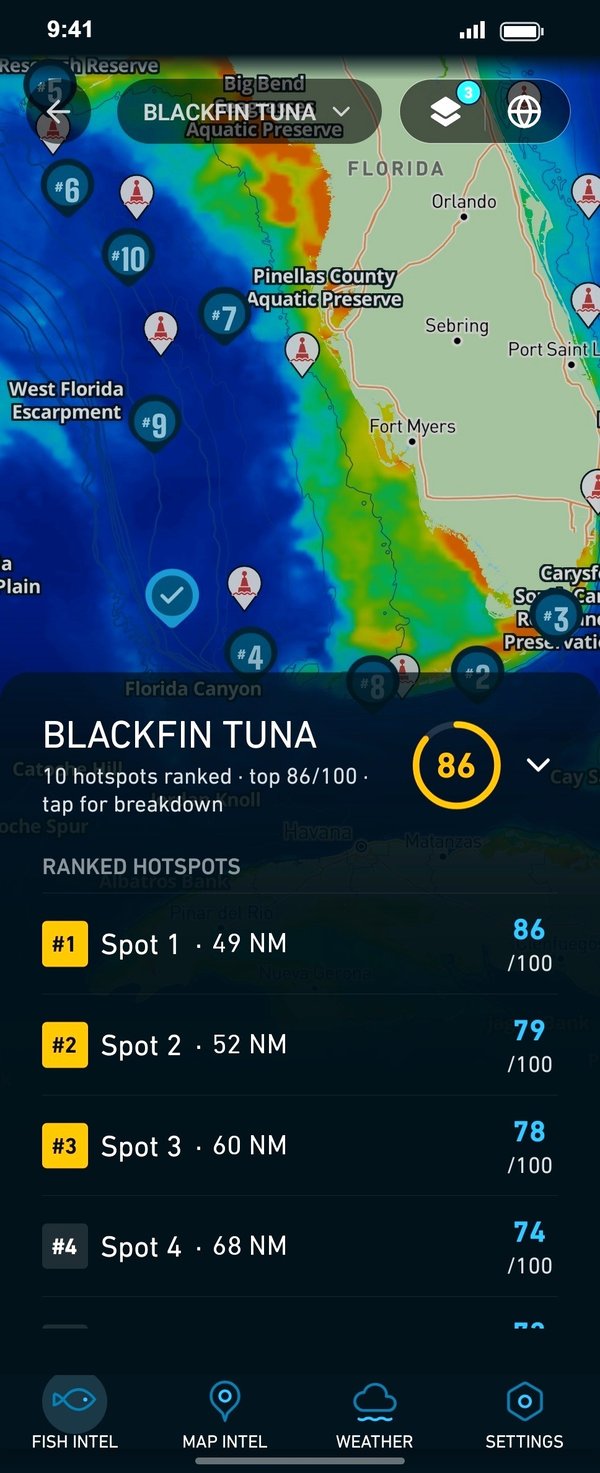
Ranked hotspots, live ocean layers and offline maps.
Open Breakpoint