Spring
Offshore
Thin; first offshore water warming
Nearshore
Striped bass arriving, black sea bass, early fluke, bluefish, tautog




Rhode Island offshore fishing runs off a short coast: Watch Hill east to Sakonnet Point, Block Island to the south, and the shelf-edge canyons beyond. This page covers the ports by stretch of coast, what runs through the year, and where state rules end and federal rules begin. The same layout applies to our other US coasts.
 By Breakpoint Team
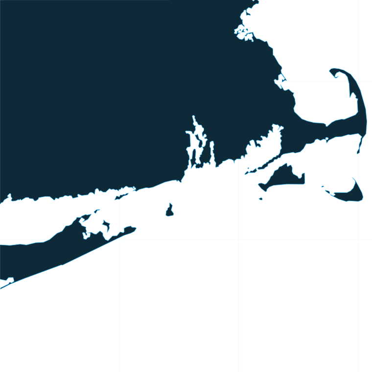
The coast
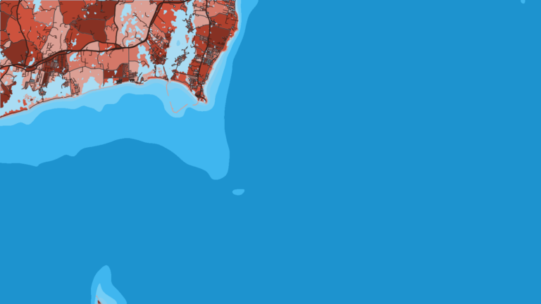
Start at the west end, at Watch Hill and Westerly. The shore faces Fishers Island and Block Island Sound, where reefs and rips provide structure and hold fish on the tide.
East of there, the South County shore runs to Point Judith and Galilee, the working harbor of the coast. Party boats and charters leave from Galilee, which is also the shortest run to Block Island Sound. Snug Harbor on the Salt Pond in Wakefield is a charter harbor in the same stretch.
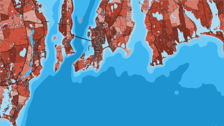
At the mouth of Narragansett Bay the shoreline turns rocky. Rock piles, reefs, rips and current edges around Newport and out to Sakonnet Point hold striped bass and tautog.
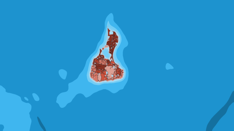
Block Island sits south of the coast. The Southwest Ledge and the Block Island Wind Farm turbine foundations act as structure. Beyond them are the shelf-edge canyons: Block Canyon, Atlantis and Hydrographer. Warm Gulf Stream eddies spinning off toward the canyons shape the water out there, a mechanism that works the same way across the wider Northeast pattern. The 3-nautical-mile line separates state water from federal water along the whole coast.
Where you launch depends on which of these waters you plan to fish.
Ports
Ports are grouped by stretch of coast, west to east, then out to the island. Tap a number on the map, or a stretch below, to zoom in on its ports.
1 port
The stretch from Watch Hill to Point Judith is anchored by Galilee, with Westerly and Watch Hill at the west end and the Snug Harbor charter fleet on the Salt Pond in Wakefield.
1 port
This stretch covers the bay mouth rips, the Newport rock piles and reefs, and Sakonnet Point to the east.
1 port
The island’s structure includes the Southwest Ledge and the Block Island Wind Farm turbine foundations.
Seasons
What tends to be around each season. Open seasons are covered under Regulations.
Offshore
Thin; first offshore water warming
Nearshore
Striped bass arriving, black sea bass, early fluke, bluefish, tautog
Offshore
Bluefin tuna, sharks; canyon yellowfin tuna and mahi
Nearshore
Fluke, black sea bass, scup, striped bass on structure
Offshore
Bluefin tuna; canyon pelagics until water cools
Nearshore
False albacore and bonito run, trophy striped bass, tautog peaking late fall
Offshore
Mostly closed or thin
Nearshore
Mostly closed or thin; check RIDEM for any open species
Seasons describe typical runs. RIDEM and NOAA set openings and closures; see Regulations below.
Before a run, read the water. OBS SST shows the eddy edges, Chlorophyll shows the color breaks, and Chart Contours show the canyon walls. The chart layers are not for navigation. For wind, wave height and period, use the National Weather Service marine forecast.
Temperature breaks and color edges shift with wind and current. In Breakpoint, these three layers show those edges and the bottom structure near them.
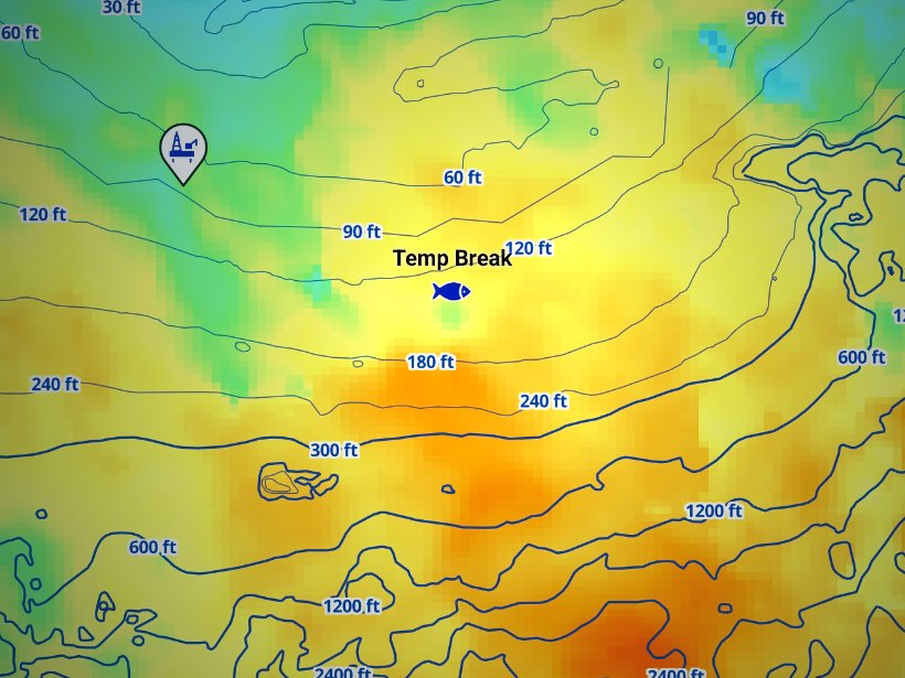
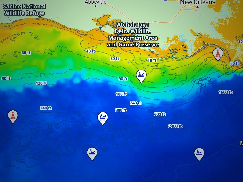
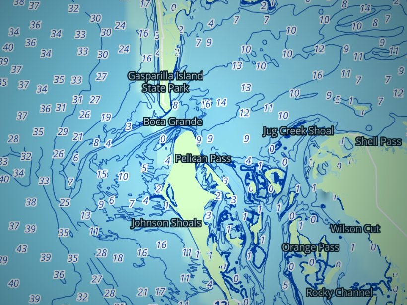
Clouds block satellite SST passes, so some days show gaps. Chart layers are not for navigation.
Charters and tournaments
Party boats carry larger groups and sail mainly from Galilee. Charters run inshore trips for striped bass, fluke and sea bass, and offshore trips for tuna, sharks and canyon pelagics, leaving from Point Judith, Snug Harbor, Newport and Block Island. All party and charter boats carrying recreational passengers in Rhode Island waters need a RIDEM party and charter boat license. Licensed for-hire vessels report trips electronically through Etrips.
Two tournaments anchor the calendar:
Confirm exact dates with the organizers. Tuna and shark entries fall under federal HMS rules, so check permit and reporting requirements with NOAA, as covered below.
Regulations
Rules change by DEM notice and federal quota, so we print none of the size, bag or season figures. Use our summary of Rhode Island regulations, then check it against RIDEM before fishing.
Five agencies divide the work:
Rhode Island marine waters run from the coastline out to 3 nautical miles. RIDEM rules apply there and differ by mode: private boat, shore, and licensed party and charter vessel. Striped bass (slot limit), fluke, black sea bass, scup, tautog and bluefish all carry state rules. Seasons and limits can change in-season by notice, so check the RIDEM marine fisheries regulations before you fish.
The federal exclusive economic zone (EEZ) runs from 3 to 200 miles offshore.
Requirements follow the species group:
Know which side of the 3-mile line you are fishing, and check RIDEM and NOAA before you leave the dock. To plan the water, find your launch in the port pages above and read the offshore layers the night before.
The Rhode Island Department of Environmental Management (RIDEM), Division of Marine Fisheries, sets the finfish rules for state waters out to 3 nautical miles; federal waters run from 3 to 200 miles. Rules differ by mode: private and rental boats, shore, and licensed party and charter vessels.
The species-by-species size, bag and season rules are on the Rhode Island fishing regulations page. Official source: Rhode Island finfish regulations.
FAQ
Official answers come from the state wildlife agency and NOAA Fisheries. Check them before you go.
No. Passengers on licensed party and charter vessels do not need one. Private-boat anglers 16 and over need a Rhode Island license, a Federal Registration offshore, or a license from a reciprocal state. See the summary of Rhode Island regulations.
Yes. Tunas, billfish, swordfish and sharks require a federal Atlantic HMS permit, which also exempts the holder from the Rhode Island saltwater license. Check NOAA for reporting rules before you go.
No. Striped bass are prohibited in the EEZ. The one exception is Block Island Sound, where you may carry striped bass in continuous transit with no fishing from the vessel in federal waters.
Go to the RIDEM Division of Marine Fisheries. We do not print limits because they change by notice and quota. Fluke and black sea bass caught in federal waters follow the rules of the state where you land them.
Summer and fall for bluefin, and summer for canyon yellowfin and mahi. Water temperature decides where they set up, so check OBS SST for the edges before you commit to a run.
Offshore charters and private boats run from Point Judith and Newport. Newport also hosts the Rhode Island Offshore Invitational. Pick the port that fits your launch, your boat and the water you plan to fish.
The Block Island Inshore Fishing Tournament runs in late July across 9 species. The Rhode Island Offshore Invitational fishes out of Newport. Confirm dates with the organizers.
Use the official party and charter boat directory, grouped by port. All Rhode Island party and charter boats need a DEM license.
Ranked hotspots, live ocean layers and offline maps.
Open Breakpoint