Spring
Offshore
cobia, king mackerel, amberjack and grouper at reefs and rigs
Nearshore
cobia, Spanish mackerel, speckled trout and redfish in the Sound




Mississippi offshore fishing starts in the Mississippi Sound, crosses the barrier island line at Cat, Ship, Horn and Petit Bois, and runs south to the rigs, reefs and blue water. Where each port sits on that line, and where the rules change once you leave it, shapes every trip you plan.
This page covers the coast from west to east, the ports by stretch, what runs in each season, and how the rules split between state and federal waters. Mississippi’s Department of Marine Resources (MDMR) sets state rules, with one line for reef fish and another for everything else. Coverage for other Gulf states follows the same layout.
 By Breakpoint Team
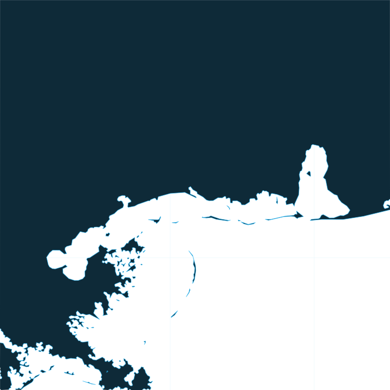
The coast
The Mississippi Sound is shallow, protected water behind the barrier island chain. Ship, Horn and Petit Bois sit within the Gulf Islands National Seashore, where the National Park Service bans commercial fishing inside a 1-mile perimeter around those three islands. The ban applies to commercial fishing only; recreational fishing is not covered.
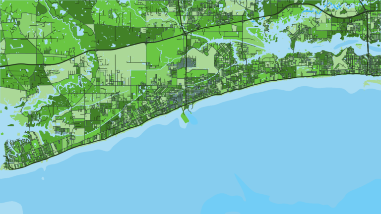
In the west, Hancock County is marsh country on the Louisiana side. Bay St. Louis is the launch point, and the western Sound opens toward Cat Island. Cat Island Reef is one of the state’s permitted reef areas.
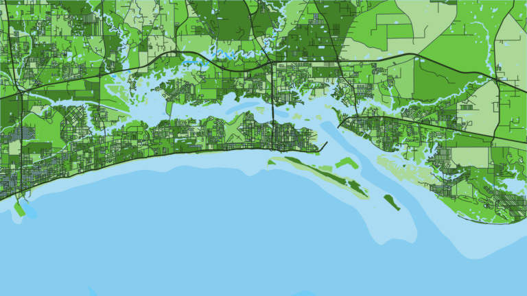
In the center, Harrison County faces Ship Island directly across the Sound. Gulfport and Biloxi are the two ports where most of the charter fleet ties up.
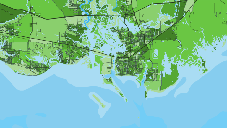
In the east, Jackson County runs through Ocean Springs, Pascagoula and Moss Point, with access toward Horn and Petit Bois.
Past the islands, the permitted artificial reefs (fish havens) are FH 4, FH 8, FH 9/11, FH 10 and FH 14. Farther south are oil and gas rigs, then blue water for yellowfin tuna, wahoo and blue marlin. Structure holds red snapper, grouper, amberjack, cobia, and king and Spanish mackerel. Our guide to the wider Gulf covers how the rigs and shelf edge fit together. Federal documents now call it the Gulf of America.
OBS SST and Chlorophyll show where temperature and color edges set up, and Chart Contours shows the bottom structure under them. They help you decide where to look before you burn the fuel. The chart layers are not for navigation. For wind, wave height and period, use the official NWS marine forecast for your zone.
Ports
Ports are grouped by county, from the Louisiana line in the west to the Alabama line in the east. Tap a number on the map, or a stretch below, to zoom in on its ports.
2 ports
Pass Christian and Long Beach sit along this shore, and Gulfport and Biloxi face Ship Island across the Sound.
1 port
Ocean Springs and Moss Point are the other eastern towns on the Sound.
Seasons
What tends to be around each season. Open seasons are covered under Regulations.
Offshore
cobia, king mackerel, amberjack and grouper at reefs and rigs
Nearshore
cobia, Spanish mackerel, speckled trout and redfish in the Sound
Offshore
red snapper (season by MDMR order), yellowfin tuna, wahoo, blue marlin, king mackerel
Nearshore
tripletail, Spanish mackerel, speckled trout, redfish
Offshore
yellowfin tuna, wahoo, king mackerel, amberjack and grouper (season by agency order)
Nearshore
redfish, speckled trout, Spanish mackerel
Offshore
grouper and reef fish at deeper structure, where seasons are open
Nearshore
speckled trout and redfish in the Sound
What shows up depends on water temperature and on the agencies’ season orders.
Seasons for red snapper, greater amberjack, gag and gray triggerfish are set by agency order, so check MDMR and NOAA Fisheries before fishing.
Temperature breaks and color edges shift with wind and current. In Breakpoint, these three layers show those edges and the bottom structure near them.
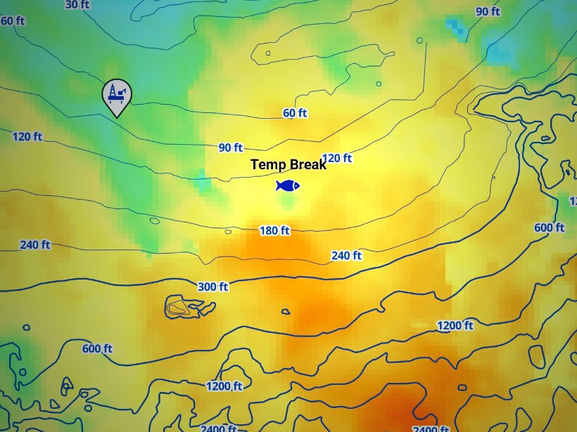
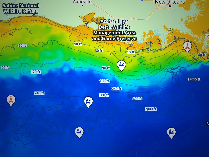
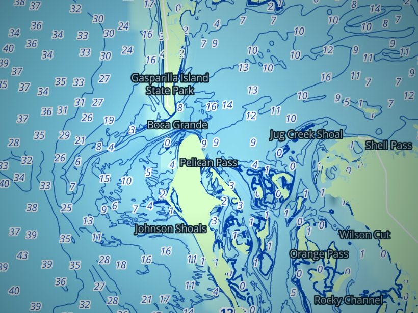
Clouds block satellite SST passes, so some days show gaps. Chart layers are not for navigation.
Charters and tournaments
Most of the charter fleet runs from Gulfport and Biloxi. Point Cadet Marina in Biloxi is home to many inshore and offshore charters. A charter captain’s ROLP covers paying passengers, and the captain and crew on a charter trip keep no red snapper or greater amberjack.
Two tournaments anchor the calendar:
Point Cadet also hosts kingfish tournaments, including Kingmaster Biloxi and Southern Kingfish Association events.
Regulations
Our Mississippi fishing regulations page holds the full size and bag tables. This section covers where the rules split. MDMR sets state rules, and NOAA Fisheries sets federal ones. Check both before fishing.
Mississippi state waters run 9 nautical miles from the baseline for reef fish: snappers, groupers, amberjacks, triggerfish and tilefish. For all other fisheries the state line is 3 nautical miles. MDMR publishes the 9-nautical-mile line as a map with 16 coordinate points and describes state waters as 9 nautical miles south of the barrier islands. The MDMR red snapper page carries the season order and reporting details.
Key state rules:
NOAA Fisheries and the Gulf of America Fishery Management Council set rules beyond the state line. In-season changes are posted on the NOAA Fisheries seasonal closures page.
FAQ
Official answers come from the state wildlife agency and NOAA Fisheries. Check them before you go.
Mississippi state waters run 9 nautical miles from the baseline for reef fish, which includes red snapper. The 3-nautical-mile line covers other fisheries. Check the Mississippi fishing regulations page and MDMR for the season.
No. A charter captain’s permit covers paying passengers. Anglers on a private boat each need one. It is free and expires December 31.
It is MDMR’s mandatory red snapper trip reporting system. One angler per vessel per trip reports. Create the trip before departure and close it on return.
Yes, south of Highway 90, unless you are under 16. Buy it online through MDWFP or at the MDMR office in Biloxi.
They are federal HMS species. Check permit requirements at hmspermits.noaa.gov before fishing.
The Mississippi Deep Sea Fishing Rodeo is held at Gulfport Harbor. The Mississippi Gulf Coast Billfish Classic is held at Point Cadet in Biloxi. Get dates from the official sites.
Federal agencies use "Gulf of America" for the Gulf of Mexico, so NOAA pages and council documents use that name. Search under both names.
No more than 3 hooks per line on FH 4, FH 8, FH 9/11, FH 10, FH 14 and Cat Island Reef. Powerhead spear gear is not allowed.
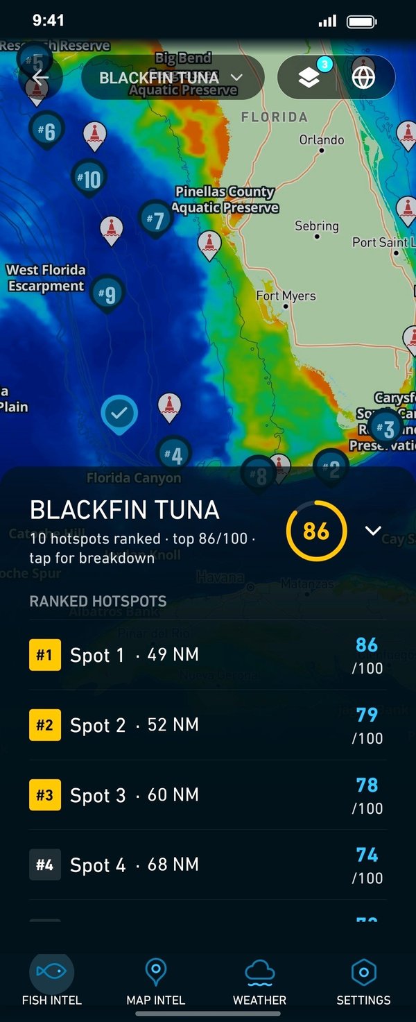
Ranked hotspots, live ocean layers and offline maps.
Open Breakpoint