Spring
Offshore
bluefish and striped bass moving east through Block Island Sound
Nearshore
striped bass at the Connecticut River mouth, tautog, winter flounder, scup and black sea bass arriving




Connecticut has no ocean coast. All of its saltwater is Long Island Sound, so going offshore means leaving the Sound through New York or Rhode Island water. As in every state we map, the rules follow the water you are on.
This page covers how the coast fishes from west to east, the ports, what runs through the year, and how the rules split between state and federal water. Connecticut possession rules still apply when you come home. By the end you will know which harbor fits the run, what is in the water by season, and which agency’s rule applies at each mile.
 By Breakpoint Team
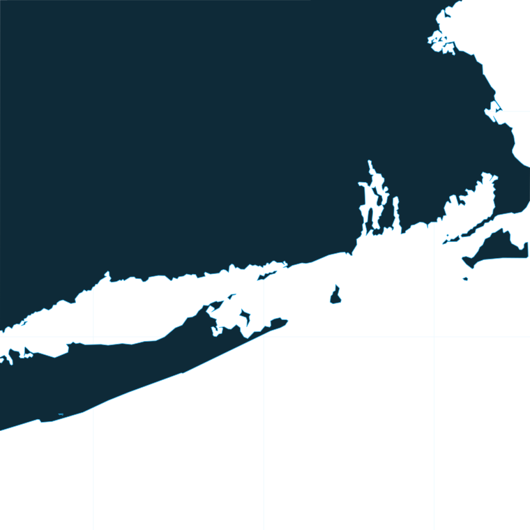
The coast
Western Sound. The Norwalk Islands and the reefs and rocky islands of the western Long Island Sound hold striped bass, bluefish, scup, black sea bass and tautog. Tide moves bait over and around the rock, and fish set up on the down-current side.
Central shore and the river mouth. The central harbors give access to reefs and flats. The Connecticut River mouth is an early spring striped bass staging area, where bass push in on river herring and shad. It is one of the first productive spots in the state each spring.
Eastern Sound. The Race, Fishers Island and Niantic Bay are the big-water end of the coast. The Sound fills and empties through the Race, so current speed and direction set the rips, and fish hold where current meets structure. Plan around tide and current tables rather than the clock. This stretch holds big striped bass, bluefish, and false albacore in fall.
Offshore. The state line runs through the Sound as a line of surveyed points from off Greenwich to off Stonington. East of it lie New York and Rhode Island waters. Past Block Island and Montauk, federal water (the EEZ) begins three miles under federal law off those shores. The targets south of Block Island and Long Island are bluefin and yellowfin tuna, sharks and mahi-mahi. Wind, wave height and period from the NWS marine forecast decide whether to go. For context beyond Block Island and the canyons, see the wider Northeast offshore picture.
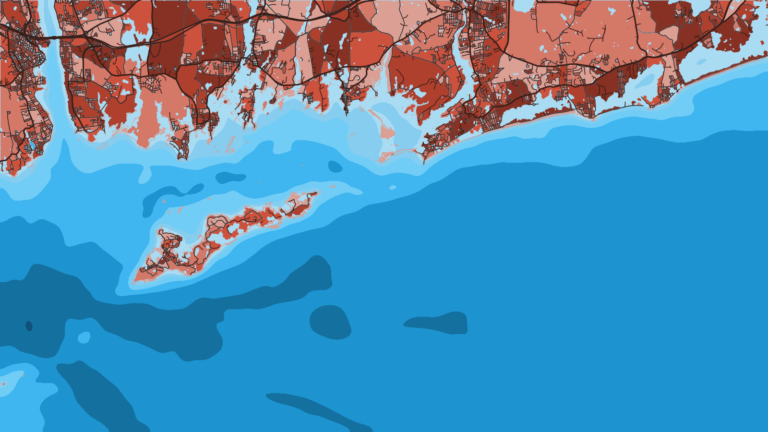
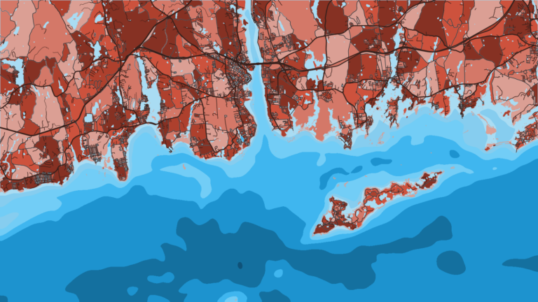
Before the run past Montauk or Block Island, open the Connecticut map and check OBS SST, Chlorophyll and Chart Contours. Cloud blocks a satellite SST pass, so a gap in the layer is missing data and says nothing about the water. Chart layers are not for navigation.
Ports
Ports are grouped below by stretch of coast, west to east.
2 ports
This stretch holds the shortest runs to the Race, Fishers Island and Block Island, and Niantic and Mystic sit along it.
Seasons
What tends to be around each season. Open seasons are covered under Regulations.
Offshore
bluefish and striped bass moving east through Block Island Sound
Nearshore
striped bass at the Connecticut River mouth, tautog, winter flounder, scup and black sea bass arriving
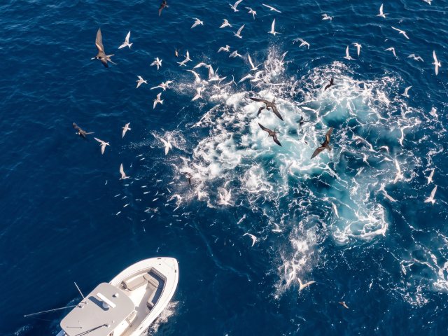
Offshore
bluefin and yellowfin tuna, sharks, mahi-mahi south of Block Island and Long Island
Nearshore
fluke, scup, black sea bass, bluefish, striped bass in the Race
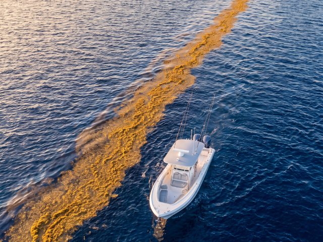
Offshore
bluefin and yellowfin tuna, sharks, mahi-mahi south of Block Island and Long Island
Nearshore
false albacore, bonito, striped bass, bluefish, tautog
Offshore
cod may not be kept in the waters south of Connecticut
Nearshore
holdover striped bass in the rivers
Species presence by season. Limits are in the Regulations section.
Temperature breaks and color edges shift with wind and current. In Breakpoint, these three layers show those edges and the bottom structure near them.
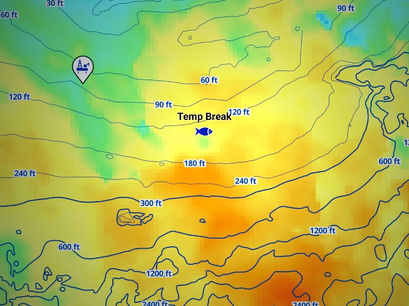
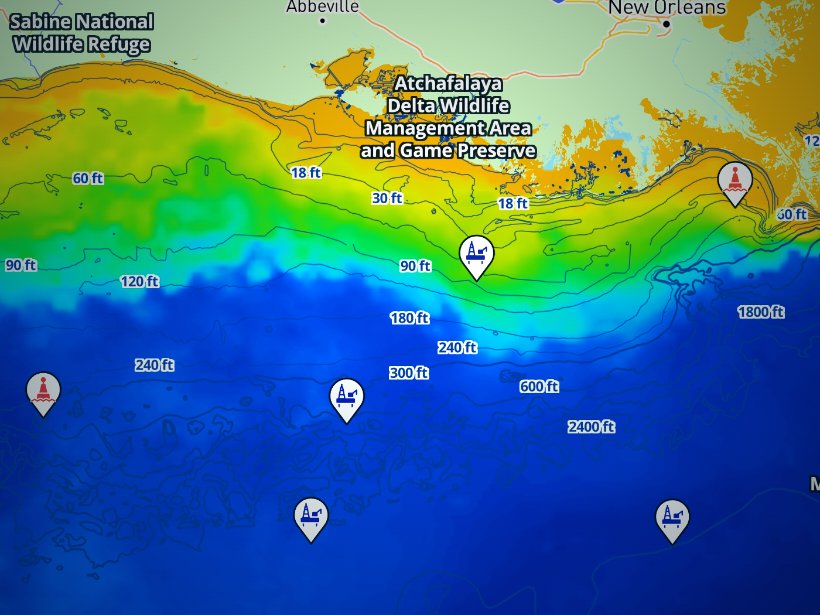
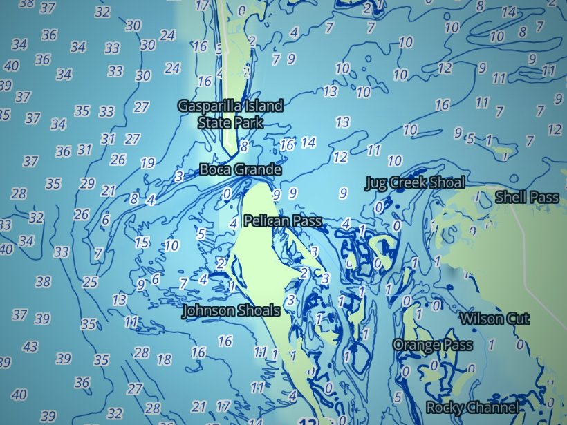
Clouds block satellite SST passes, so some days show gaps. Chart layers are not for navigation.
Charters and tournaments
Party boats sell individual spots and focus on bottom fish such as scup, black sea bass, fluke and tautog. The Niantic and Waterford shore is the hub. Charters book the whole boat and can target bass in the Race or run offshore.
Passengers on a party or charter vessel registered with DEEP need no Marine Waters Fishing License in the marine district.
Marine tournaments and derbies need a DEEP permit. A tournament that meets DEEP’s criteria may be granted an exemption from the culling prohibition by the Commissioner.
Regulations
For the full species rules, see Connecticut regulations. The agency’s own rulebook is the CT DEEP species regulations. Connecticut limits apply to any fish in your possession on Connecticut water or shore, so a fluke caught in federal water south of Block Island and landed in Connecticut must meet Connecticut rules.
Check the DEEP species page before fishing.
Federal waters are managed by NOAA Fisheries GARFO, the Mid-Atlantic Fishery Management Council (fluke, scup, black sea bass, bluefish) and the New England Fishery Management Council (cod). The NOAA Greater Atlantic recreational regulations list the measures by species.
Check before fishing.
Tunas, sharks, swordfish and billfish taken in federal water require the appropriate NOAA Atlantic HMS permits.
In Connecticut, any shark other than smooth or spiny dogfish may be taken or possessed only with an HMS permit carrying a shark endorsement. No shark may be harvested in Connecticut waters when federal waters are closed for that species.
Check before fishing.
FAQ
Official answers come from the state wildlife agency and NOAA Fisheries. Check them before you go.
No, provided the vessel is a party or charter boat registered with DEEP and you are fishing in the marine district. If you fish from your own boat at age 16 or older, you need a license.
Yes for nonresidents. New York, Rhode Island, Massachusetts and Maine marine licenses are valid in Connecticut. Connecticut residents need a Connecticut license. Connecticut limits still apply on Connecticut water.
Yes. Tunas taken in federal water require the appropriate NOAA Atlantic HMS permit. Sharks in Connecticut also need the shark endorsement on that permit.
No. The EEZ is closed to striped bass. The one exception is continuous transit through the Block Island Sound lines with no fishing in the EEZ. State water is open under DEEP rules.
It runs through the Sound as surveyed points from off Greenwich to off Stonington, per DEEP’s state boundary maps. East of it lie New York and Rhode Island waters. Federal water begins 3 miles off their shores.
Use our Connecticut regulations page and the DEEP species page. Federal measures defer to the landing state, so the Connecticut figures are the ones that count when you land here.
Yes. Marine tournaments and derbies need a DEEP permit. Qualifying events may receive a culling exemption from the Commissioner.
Pick your port from the guides above, then open the Connecticut map to decide where to look before you leave the dock.
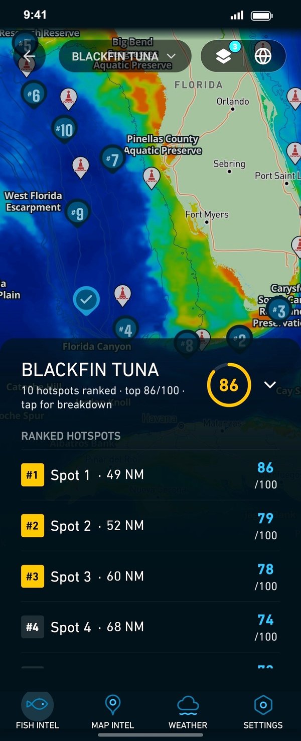
Ranked hotspots, live ocean layers and offline maps.
Open Breakpoint