Spring
Offshore
haddock on the ledges, halibut during its short season
Nearshore
mackerel arriving, early striped bass




Maine offshore fishing runs from Kittery to Eastport across three distinct stretches of coast, and a line 3 miles out decides whose rules you fish under. This page covers how the coast is built, which ports work which stretch, what is in the water by season, and where state rules hand off to federal rules. It can’t promise fish, but it should help you decide where to look and which rules apply in the Gulf of Maine.
 By Breakpoint Team
The coast
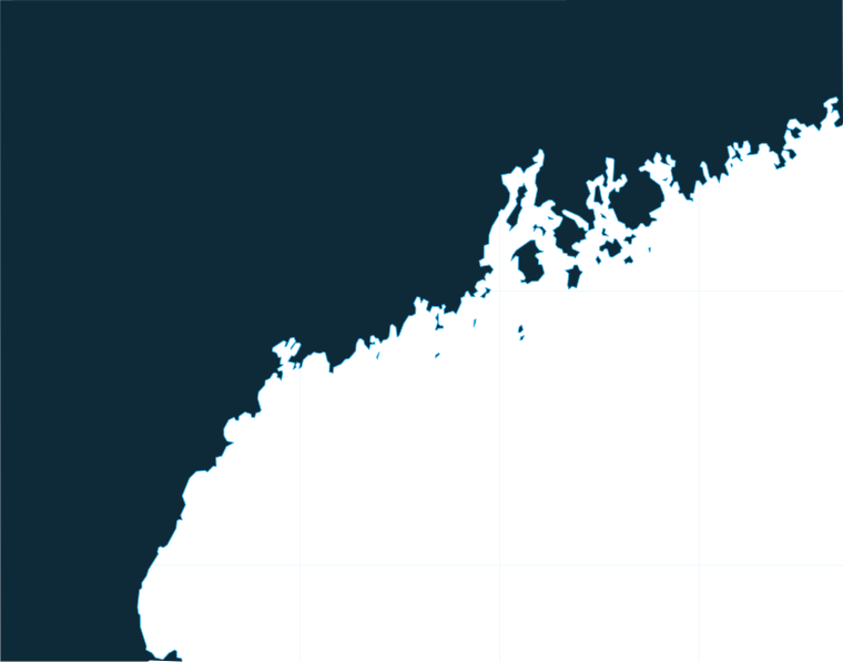
The coast changes character as you run north. The Southern Coast is sandier and lower, with river mouths such as the Saco River emptying into the Gulf of Maine. The Midcoast turns rocky and is cut by bays and islands. Downeast, toward Eastport, the tides are bigger and the water colder, with fewer sportfishing boats and longer runs between harbors.
Casco Bay is the hinge. According to NOAA U.S. Coast Pilot 1, Portland Harbor sits at the western end of Casco Bay, which holds 136 islands and opens to the Gulf of Maine. Most of the state’s charter choice clusters around that opening.
Offshore, the names you will hear are Jeffreys Ledge, Platts Bank, the Kettle, Boon Island and Cashes Ledge, the ledges and banks Maine boats run to for groundfish. Big-game boats work the open Gulf of Maine for bluefin tuna and sharks. For the wider region, the Atlantic Northeast fishing guide places the Gulf of Maine alongside the rest of the Northeast.
Fog is the limit to plan around. It occurs most often from June through September, brought in by winds from the east to southwest by way of south and cleared by westerly and northerly winds. The same cloud and fog that hide the water from a satellite also block SST passes, so a fog week can leave gaps in the OBS SST picture. For wind, wave height and period, read the NOAA marine forecast before you leave the dock.
Ports
Each stretch below starts with the harbors that work it. Ports with their own guide link from the list. Tap a number on the map, or a stretch below, to zoom in on its ports.
3 ports
The southern stretch runs from Kittery, York and Ogunquit’s Perkins Cove up to the Saco River, and it sits closest to Jeffreys Ledge and Boon Island.
1 port
Casco Bay’s 136 islands sit between Portland and Harpswell and Bailey Island, home of the Bailey Island Tuna Tournament.
1 port
The rocky Midcoast runs from Boothbay past Rockland and Camden, where the fleet mixes fishing with sightseeing.
1 port
Past Mount Desert Island the coast runs to Jonesport and Eastport, with bigger tides and fewer sportfishing boats.
Seasons
What tends to be around each season. Open seasons are covered under Regulations.
Offshore
haddock on the ledges, halibut during its short season
Nearshore
mackerel arriving, early striped bass
Offshore
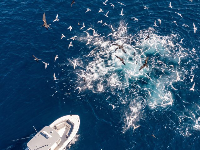
bluefin tuna, blue, porbeagle and thresher shark, haddock and pollock
Nearshore
striped bass, mackerel, bluefish
Offshore
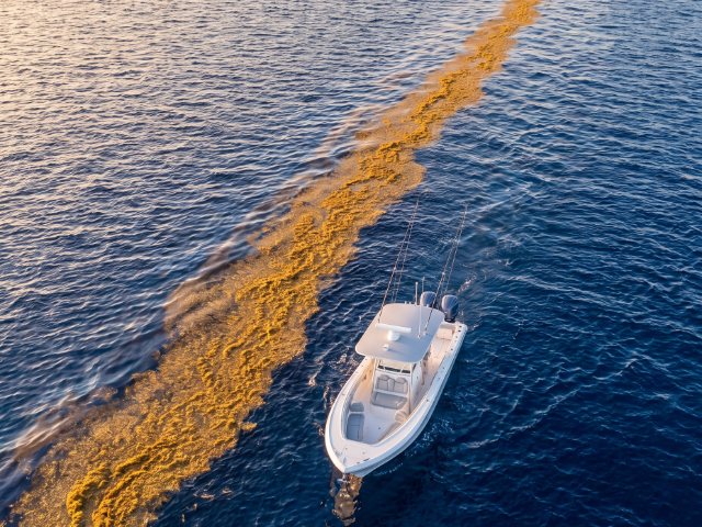
bluefin tuna, blue shark, haddock, pollock, cod during its open window
Nearshore
striped bass, mackerel
Offshore
limited groundfish trips, weather-dependent
Nearshore
little targeted fishing
Season shapes the trip more than port does. Open seasons for many species are set by DMR and NOAA, so check before you go. Bluefin follow herring and menhaden into the Gulf of Maine, which is why summer and fall carry the big-game season.
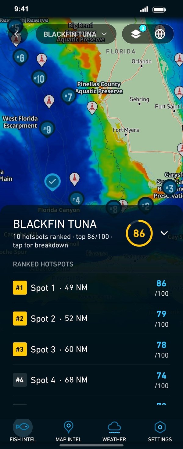
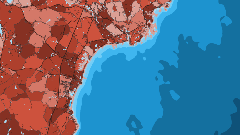
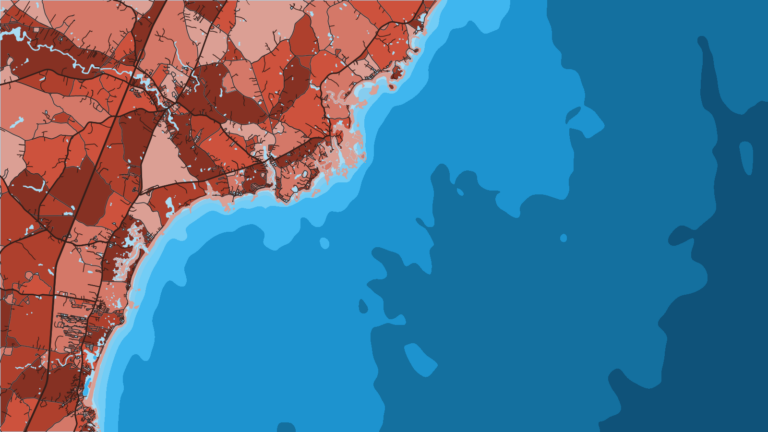
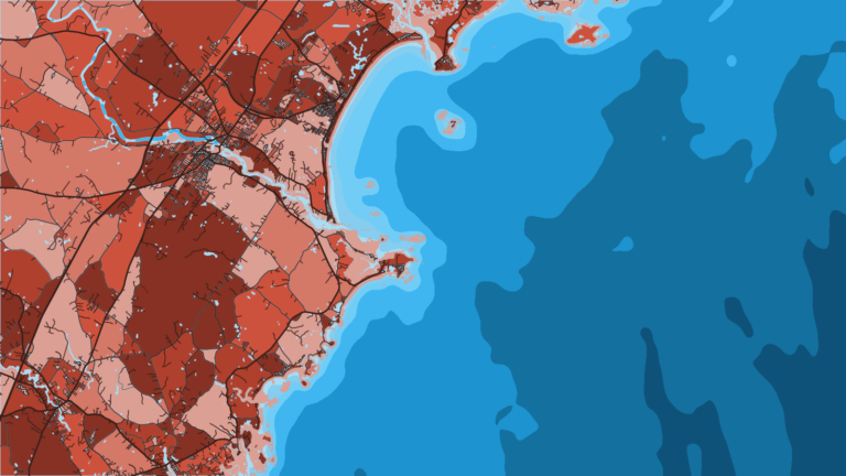
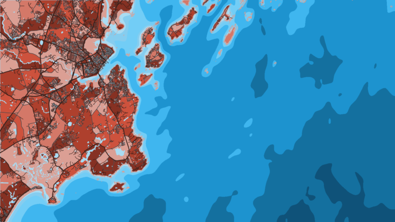
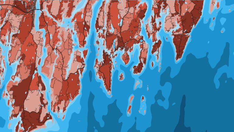
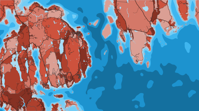
Before choosing between a ledge run and a nearshore day, check OBS SST, Chlorophyll and Chart Contours for where the water edges and bottom structure line up. Chart layers are not for navigation.
Temperature breaks and color edges shift with wind and current. In Breakpoint, these three layers show those edges and the bottom structure near them.
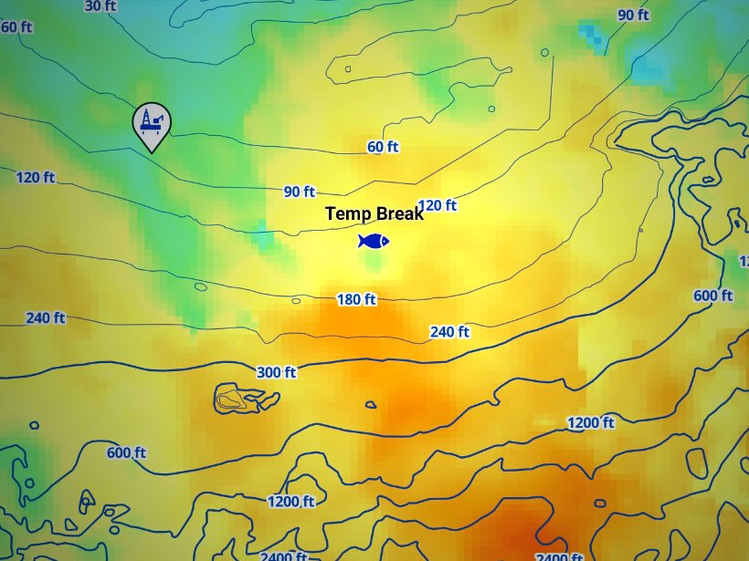
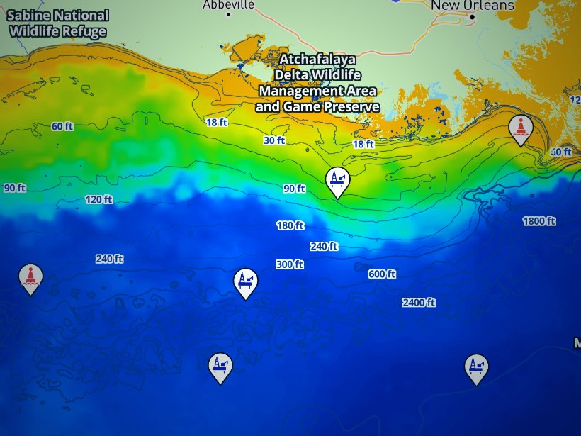
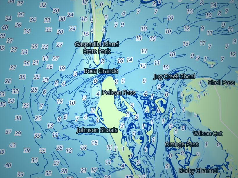
Clouds block satellite SST passes, so some days show gaps. Chart layers are not for navigation.
Charters and tournaments
Regulations
Check DMR and NOAA before you fish. Nearly every rule on this coast depends on one question: which side of the 3-mile line are you on?
State waters run from shore to 3 miles. Maine’s Department of Marine Resources (DMR) sets the rules there, and Marine Patrol enforces them. The seaward boundary is fixed by federal state-boundary law.
Federal waters run from 3 to 200 miles. Several bodies manage them:
Anyone fishing recreationally in Maine saltwater registers once a year for $1. The Maine saltwater recreational registry lists who is exempt:
A vessel fishing recreationally for tunas, sharks, swordfish or billfish needs an HMS Angling permit (private boat) or an HMS Charter/Headboat permit (for-hire). Permits are issued through the NOAA HMS permits site.
Bluefin limits and trophy closures change in season, so check HMS before you go. Coastal sharks, including shortfin mako, may not be taken in Maine territorial waters.
Cod, haddock and halibut seasons and limits are set by DMR inside 3 miles and by NOAA and NEFMC outside. They change, so check both agencies for your target species before you leave the dock.
Striped bass shows the effect of the line most clearly. Under the federal striped bass closure, striped bass may not be fished for, taken or possessed in federal waters. Inside 3 miles, the slot and bag come from DMR.
The Kennebec watershed and the Saco River carry their own seasons and closures. If you fish the river, read the Saco-Biddeford guide first.
Species-by-species rules for both sides of the line are on our Maine fishing regulations page. Check DMR and NOAA before you fish.
FAQ
Official answers come from the state wildlife agency and NOAA Fisheries. Check them before you go.
Usually no. Charter and party boat passengers are exempt from the saltwater registry when the captain holds a For-Hire Charter Boat Operator’s License. Private-boat anglers 16 and over register for $1. Confirm the exemptions on our Maine regulations page.
No single port. Casco Bay and Boothbay Harbor host the bluefin tournaments, and tuna charters also run from Southern Coast harbors such as York and Perkins Cove. Pick the port by the run you want. Portland has the widest charter choice.
July through early September. The Bailey Island Tuna Tournament and the Casco Bay Bluefin Bonanza run in July, and the Boothbay Harbor Tuna Challenge runs in early September. The Gulf of Maine Grand Slam links all three. Check the organizers for entry and dates, and see Boothbay Harbor for the host port.
No. Striped bass may not be fished for, taken or possessed in federal waters beyond 3 miles. Inside 3 miles, the DMR slot and bag apply, so confirm them before you keep a fish.
Not in state waters, where coastal sharks including shortfin mako may not be taken. In federal waters, NOAA HMS sets mako retention and adjusts it in season, so check HMS first.
Yes, for tunas, sharks, swordfish or billfish. Private boats need an HMS Angling permit. For-hire boats carry a Charter/Headboat permit, so charter passengers fish under the boat’s permit.
Party boats carry many anglers on groundfish trips. Private charters carry a small group and can target tuna, sharks or inshore stripers. Party boats run from ports such as Portland and Ogunquit.
Heading somewhere else on the coast? See our fishing guides for other states.
Ranked hotspots, live ocean layers and offline maps.
Open Breakpoint