Winter
Offshore
golden tilefish on the deep bottom when weather allows
Nearshore
tautog on reefs and wrecks




Maryland’s ocean fishing all runs through one Atlantic inlet at Ocean City, out to a string of deepwater canyons, with the Chesapeake Bay behind it. The coast is short next to the other U.S. coasts we cover, but it fits canyon fishing, reef fishing and a bay into a small area. State rules govern the water out to 3 nautical miles, and federal rules take over beyond that line. This page covers the ports, the seasons, the charters and tournaments, and where state rules stop and federal rules start.
 By Breakpoint Team
The coast
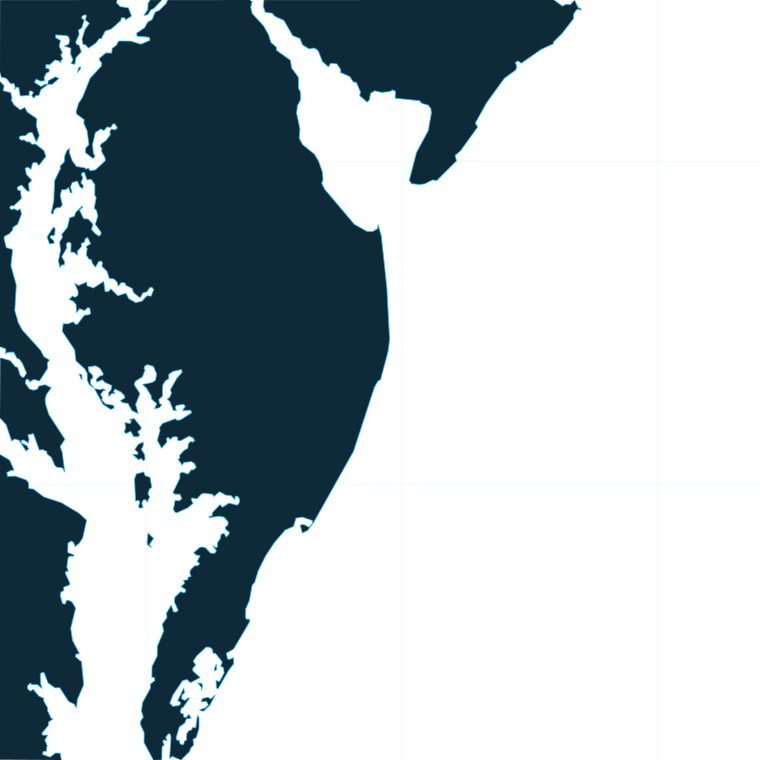
Maryland’s ocean coast fishes in three bands: the inlet and surf, the nearshore reefs and wrecks, and the canyons at the edge of the shelf.
The coast runs south from the Delaware line in this order:
Most visitor trips fish the inlet, the back bays or the nearshore reefs. The canyons are the long run, and they reward planning. Where to fish depends on where the warm water and the bait sit on a given day rather than on any fixed spot. These canyons are part of a chain that runs up the shelf edge, so see the wider Atlantic and Northeast picture.
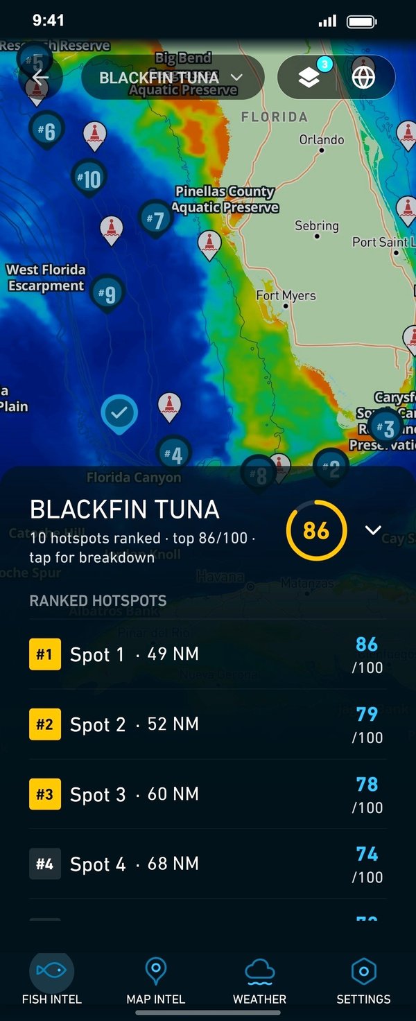
Before a canyon run, OBS SST, Chlorophyll and Chart Contours in Breakpoint show where temperature breaks, color changes and bottom structure line up, which helps you decide where to look. Chart layers are not for navigation.
Ports
Maryland’s fishing ports fall into four stretches: the Atlantic coast and three sections of the Chesapeake Bay.
1 port
Every Maryland ocean trip leaves through the Ocean City Inlet, and the harbor sits in West Ocean City.
Seasons
What tends to be around each season. Open seasons are covered under Regulations.
Offshore
golden tilefish on the deep bottom when weather allows
Nearshore
tautog on reefs and wrecks
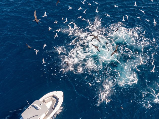
Offshore
tuna arrive as offshore water warms; golden and blueline tilefish
Nearshore
tautog, then black sea bass and summer flounder as their seasons open
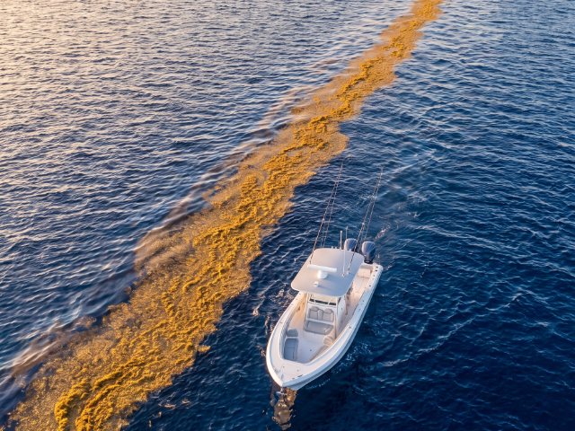
Offshore
yellowfin and bigeye tuna, white and blue marlin, mahi-mahi and wahoo in the canyons
Nearshore
black sea bass, summer flounder, bluefin; sharks
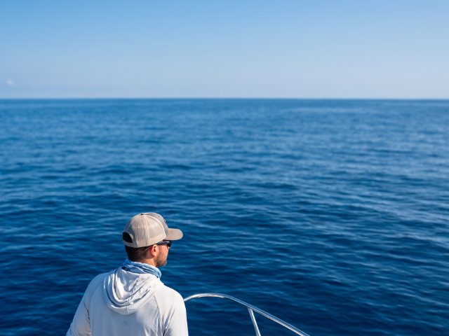
Offshore
tuna and mahi-mahi linger, wahoo along the edges
Nearshore
black sea bass and tautog on structure; striped bass in state waters
Offshore fishing off Maryland peaks in the warm months, while the reefs and wrecks fish across more of the year.
Several of these species have closed seasons or limits set by DNR public notice, so check the Maryland DNR before fishing. Seasons also shift with water temperature from year to year, so treat the table as a general pattern rather than a schedule.
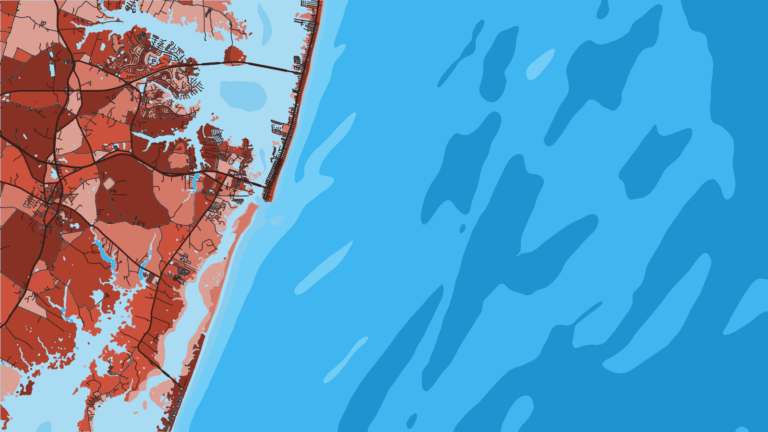
Temperature breaks and color edges shift with wind and current. In Breakpoint, these three layers show those edges and the bottom structure near them.
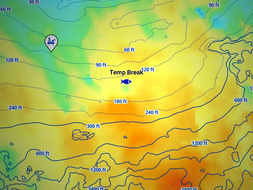
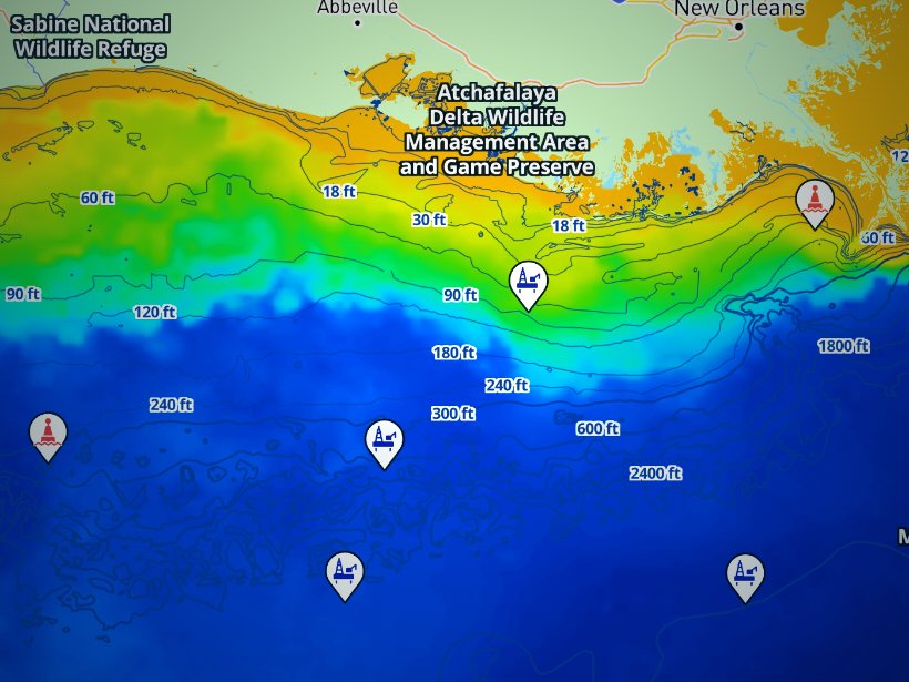
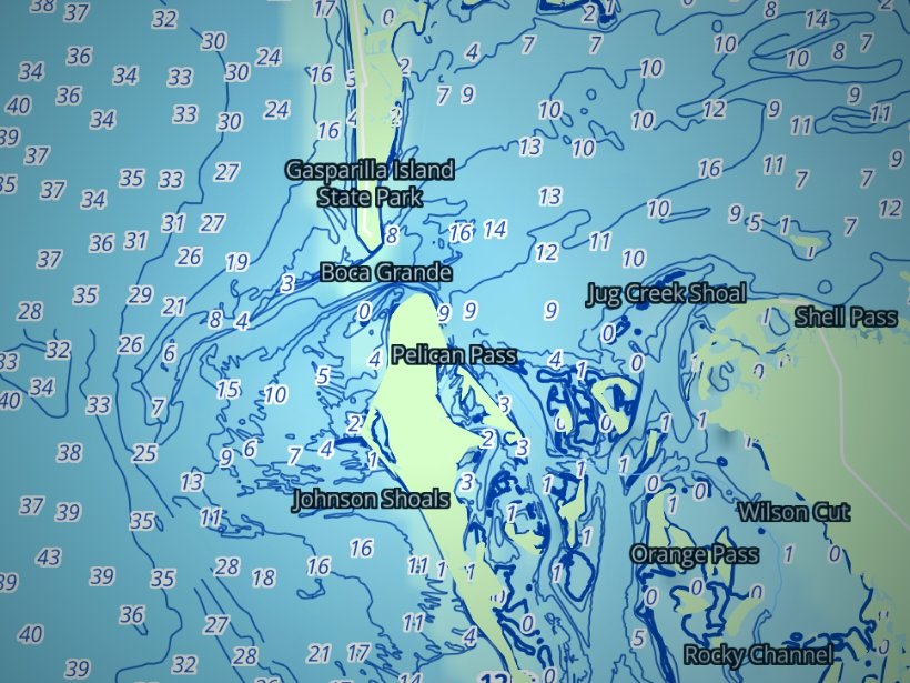
Clouds block satellite SST passes, so some days show gaps. Chart layers are not for navigation.
Charters and tournaments
Ocean City has a full fleet of offshore charters, inshore and back-bay charters, and head boats, and it hosts Maryland’s major billfish and tuna tournaments.
Offshore charters run to the canyons. Inshore and nearshore charters fish the bays, the inlet and the reefs. Head boats, also called party boats, fish nearshore structure and sell individual spots, which suits families and first-timers. A licensed fishing guide’s boat carries the license for its passengers, as the FAQ explains. The fleet works out of Ocean City.
Ocean City bills itself as the White Marlin Capital of the World. The White Marlin Open and the Ocean City Tuna Tournament anchor the summer calendar, and the Big Fish Classic joins them. Check each event’s own listing for dates and rules. Federal HMS permit and reporting rules still apply in tournament fishing, and billfish are kept whole with head, fins and bill intact.
The bay has its own events. Bay tournaments such as the Tangier Classic out of Crisfield fish under Chesapeake Bay striped bass rules, which differ from the Atlantic rules.
Regulations
For sizes, bags and seasons, see Maryland regulations by species. This section explains which rulebook applies where.
Maryland rules govern the bay, the coastal bays and the ocean out to 3 nautical miles. Federal rules take over from 3 to 200 miles.
The Maryland Department of Natural Resources (DNR), through Fishing and Boating Services, sets the rules for state waters: the Chesapeake Bay and its tidal tributaries, the coastal bays and their tributaries, and the Atlantic within 3 nautical miles. The rules are in COMAR 08.02, and many seasons and limits change by public notice. Check DNR rule changes and notices before every trip.
NOAA Fisheries manages federal waters, from 3 to 200 miles. The Mid-Atlantic Fishery Management Council and the Atlantic States Marine Fisheries Commission shape many of those measures.
To fish for finfish in Maryland tidal waters and the state waters of the Atlantic, you need a Chesapeake Bay and Coastal Sport Fishing License or the free Maryland Saltwater Angler Registration. You can buy a Maryland fishing license online.
Inshore species fall under state rules, and so does striped bass in the ocean within 3 miles and in the coastal bays. The Chesapeake Bay has its own striped bass seasons and limits, separate from the Atlantic table. DNR holds the size slot, bag and season, so check its page.
Gear rules change at the 3-mile line. Sabiki rigs and mackerel trees are illegal in Maryland state waters but allowed in the EEZ, so wait until you’re past 3 miles to rig a Sabiki for bait. Towns such as Ocean City may also have their own fishing ordinances.
Past 3 miles, three patterns cover most trips.
Pattern 1: the state of landing sets the limits. Federal measures for black sea bass and summer flounder are waived. Anglers in federal waters, including federally permitted charter and party boats, follow the rules of the state where they land, so Maryland’s rules apply to a boat landing in Maryland. See the federal flounder and sea bass measures, and check DNR public notices for the figures.
Pattern 2: federal prohibition. A striped bass hooked at 4 miles can’t come aboard. Striped bass in federal waters are off limits to fish for or possess anywhere from 3 to 200 miles.
HMS permit holders report landed bluefin tuna and dead discards, plus non-tournament billfish and swordfish landings, within 24 hours of finishing the trip. Reports can be filed through the HMS Catch Reporting app, the HMS Permit Shop website, or by phone. The HMS catch reporting rules lay out the options.
Some rules don’t change with the season:
Rules change by public notice. Check Maryland DNR and NOAA Fisheries before every trip.
FAQ
Official answers come from the state wildlife agency and NOAA Fisheries. Check them before you go.
Usually no. Under Maryland DNR rules, anglers fishing with a licensed fishing guide need no individual license, because the charter boat license decal covers everyone aboard. Confirm that the boat is licensed. On a private boat, passengers need the free saltwater angler registration.
At 3 nautical miles from the coast. State waters also include the Chesapeake Bay, its tidal tributaries and the coastal bays. Federal waters, the EEZ, run from 3 to 200 miles under NOAA Fisheries.
Yes, in federal waters. NOAA Fisheries requires an Atlantic HMS permit for tunas, billfish, swordfish and sharks. Permit holders report landed bluefin and non-tournament billfish and swordfish within 24 hours of the trip. Bluefin are landed whole.
Not past 3 miles. Federal law prohibits fishing for or possessing striped bass in the EEZ. Inside 3 miles and in the coastal bays, Maryland’s Atlantic rules apply, and the Chesapeake Bay has separate rules. Check DNR for the limits.
The rules of the state where you land. NOAA Fisheries waives its federal measures, so a boat landing in Maryland follows Maryland’s black sea bass and summer flounder rules. Check DNR public notices before the trip.
Mainly in the warm months, when yellowfin and bigeye tuna, white and blue marlin, mahi-mahi and wahoo move into the canyons. Tilefish are a deep-bottom option across more of the year, within federal seasons. Timing follows water temperature, so use the season table as a general pattern and check NOAA Fisheries and Maryland DNR before you go.
Ranked hotspots, live ocean layers and offline maps.
Open Breakpoint