
About Morro Bay
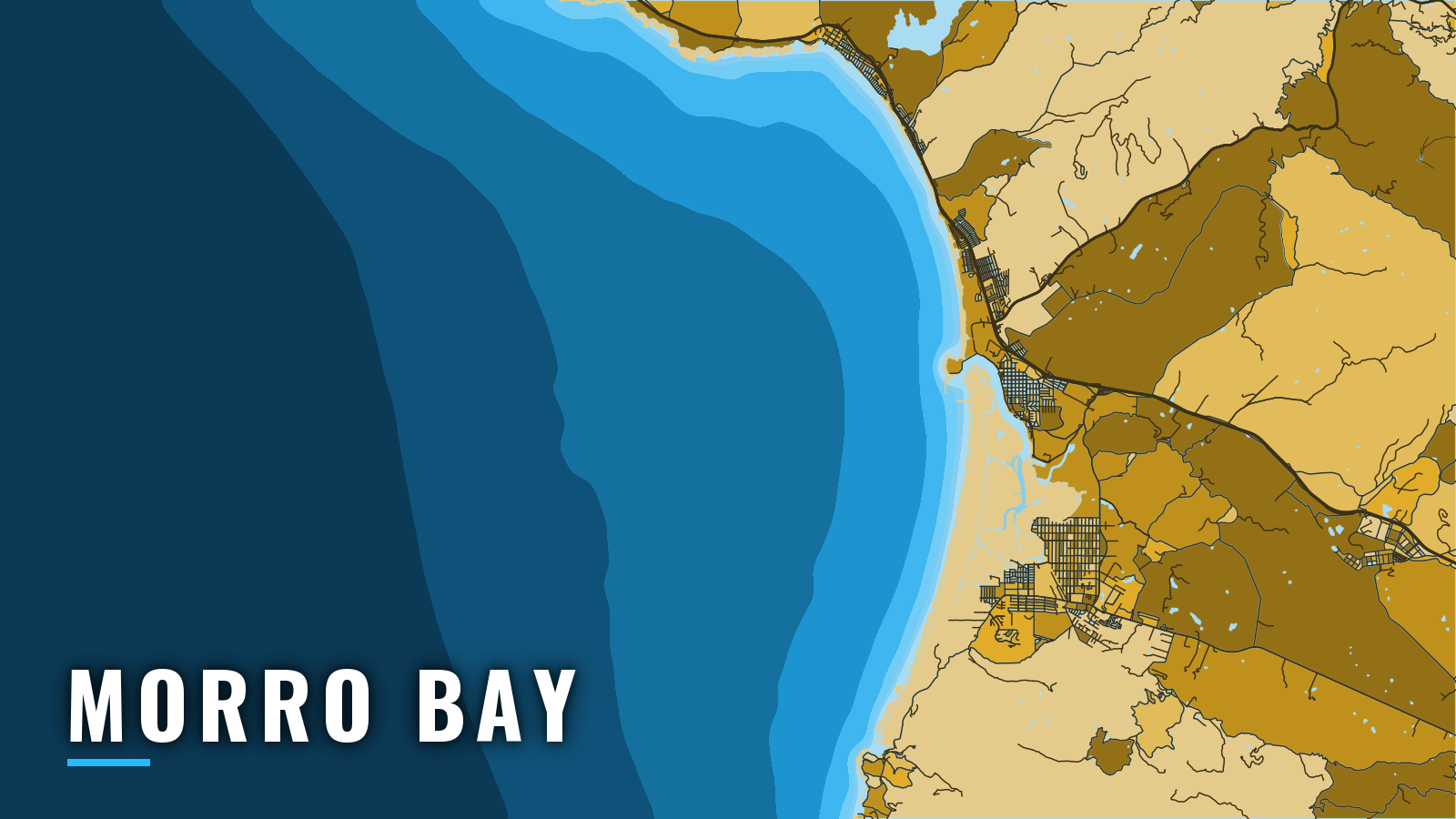
Morro Bay is a shallow lagoon harbor on Estero Bay on the Central Coast of California. Boats enter through a buoyed channel between two breakwaters beside Morro Rock. Boat-based groundfish fishing is open April through December. Targets are rockfish, lingcod, spring Chinook, and summer-to-autumn offshore albacore. Halibut can turn up inside Estero Bay.
Access and navigation
Morro Bay has one public ramp and a pair of city tie-ups:
- Morro Bay public launch ramppublic ramp at Tidelands Park, at the south end of the Embarcadero, run by the City of Morro Bay Harbor Department.
- Harbor Department North and South T-Pierscity-operated tie-ups for transient vessels.
Most other harbor facilities are private, so get permission before docking at any of them.
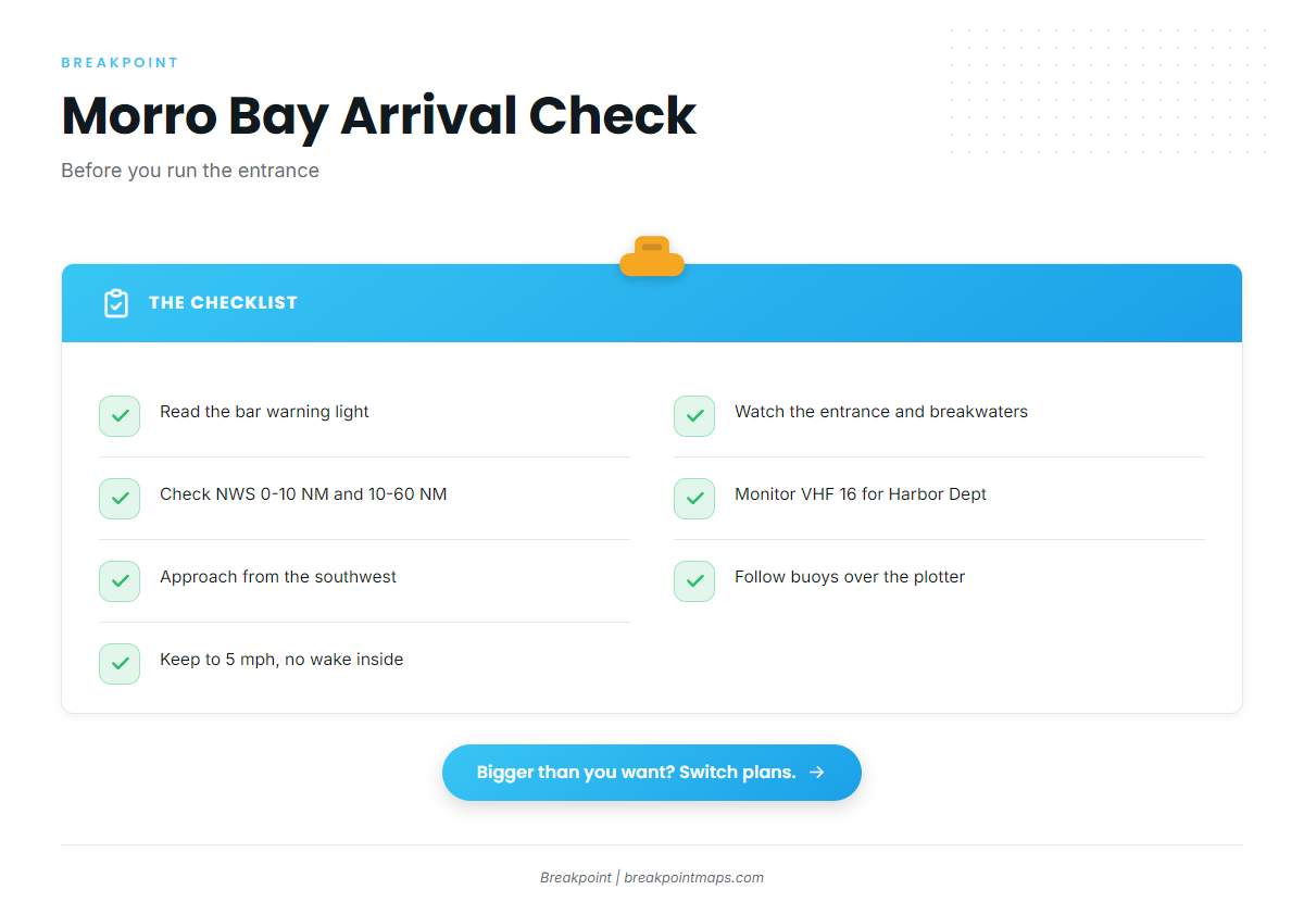
The bar warning light on the north end of the Coast Guard and harbormaster pier flashes when seas exceed 4 feet. A warning is posted up to 40 days a year, and a dark light does not guarantee a safe bar.
Currents in the entrance and around the breakwaters can run strong. An ebb running against swell can stand the entrance up, and North Pacific winter swells sometimes break across the whole entrance. Approach from the southwest and avoid sharp turns near the breakwaters in heavy weather. The channel shifts, and buoys get moved to mark the best water, so they may not match the chart. Follow the buoys over the plotter. Shoaling extends into the channel from the south, so pass close to the green buoys at low tide. Coast Pilot 7, Chapter 6 covers the approach in detail.
The Harbor Department keeps a radio watch on VHF 16. The Diablo Canyon buoy, station 46215, gives a nearby wave reading. Inside the jetties, the limit is 5 mph with no wake.
Morro Bay has no second inlet, so the alternative approach is the southwest line into the same gap. Port San Luis lies 18 nautical miles south, through an open bay with no jettied bar. San Simeon Bay, 23 nautical miles north, shelters from northerly weather but is exposed to the south. Monterey is the next harbor north, up the Big Sur coast.
On arrival, look at the entrance and read the NWS Point Piedras Blancas forecast for both the 0 to 10 NM and 10 to 60 NM zones. If conditions look bigger than you want, change plans.
Fishing conditions
Morro Bay is the Central Coast port within the wider Pacific Southwest fishing picture.
The named grounds start with Estero Bay. South of the harbor, Point Buchon and the Montaña de Oro coastline hold reef. To the north, Piedras Blancas and Cape San Martin sit up the Big Sur coast.
The harbor holds the Morro Bay State Marine Reserve and State Marine Recreational Management Area. CDFW sets their boundaries and rules.
Winter
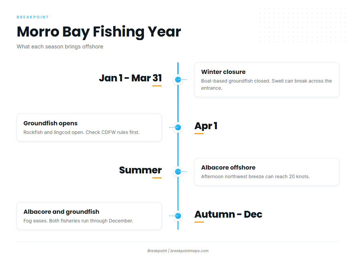
Boat-based groundfish fishing is closed January 1 to March 31 in the Central Management Area. North Pacific swell can break across the entrance, and bar warnings are most frequent in this season. Check the bar light and the forecast before committing to the channel.
Spring
The groundfish season opens April 1 for rockfish and lingcod. Check CDFW groundfish season rules before fishing, since CDFW can change seasons and depths in season and posts those changes on its in-season page. Chinook openings depend on season and quota, so check CDFW for current dates. Northwesterlies build in spring.
Summer
Rockfish and lingcod fishing continues. Albacore show up as an offshore target, and halibut can turn up inside Estero Bay. The afternoon northwest sea breeze can reach 20 knots and ease toward midnight. Estero Bay is one of the foggiest areas on the coast, and fog tends to be most common in the mornings and evenings.
Autumn
Albacore and groundfish fishing run through December, and the offshore bite tends to carry the season. August and September can bring visibility under 0.5 mile on more than 15 days a month, and the fog thins as autumn goes on. Albacore tend to hold on temperature and color breaks. The OBS SST and Chlorophyll layers in Breakpoint show where those edges sit when fog or cloud isn’t blocking the satellite pass. Chart layers are not for navigation.