Where boats run from Albion
Lingcod fishing out of Albion starts close to the launch. The structure that holds lings and rockfish runs from the old wharf pilings in the cove to Colby Reef, 1.5 miles north. Below are the names, depths and distances, how the water is fished, and the buoy to read before you go. We can’t promise fish, but we can help you pick better water to look at. Region-wide coverage is in the wider Pacific Northwest guide.
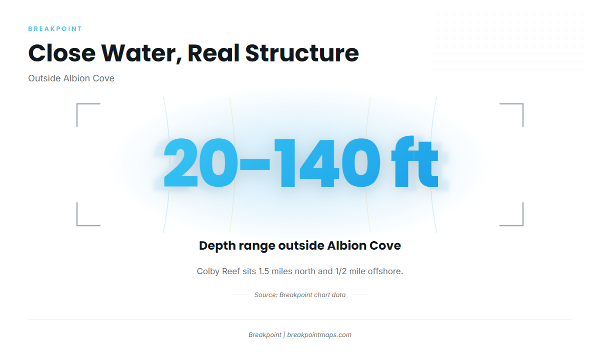
Boats work Albion Cove and the water just outside it. Outside the cove, depths run about 20 to 140 ft along the Mendocino coast.
Two pieces of structure pull boats out of the cove:
- Colby Reef sits 1.5 miles north of Albion and 1/2 mile offshore.
- Bull Rock lies off Whitesboro Cove, the next cove south.
Both are boat-access structure holding rockfish and lings. The cove itself holds close-in structure for kayaks and divers, covered in the next section.
Grounds and structure near Albion
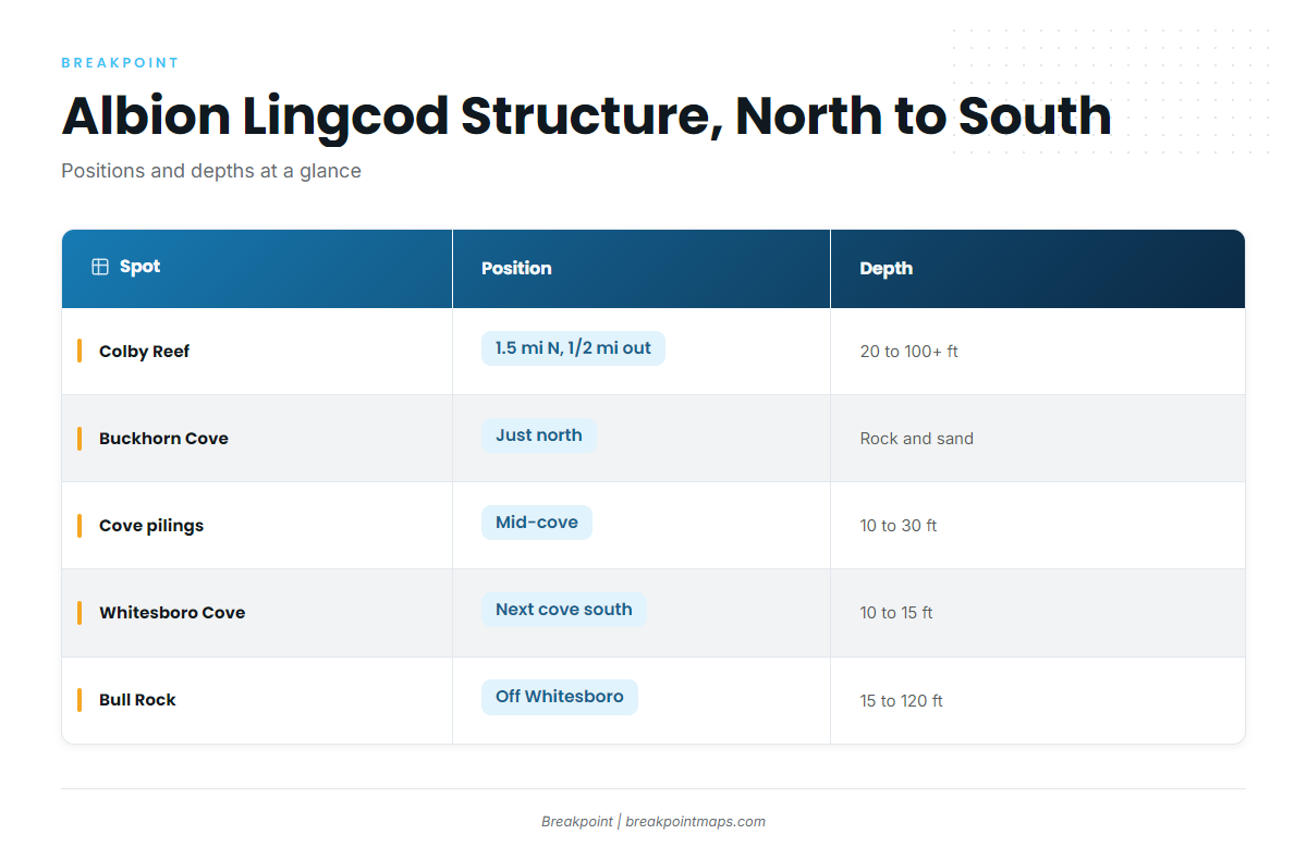
Rock and changes in depth are lingcod habitat, so reef tops and drop-offs are where to look. This table runs north to south.
| Name | Position | Depth | Notes |
|---|---|---|---|
| Colby Reef | 1.5 mi north of Albion, 1/2 mi offshore | Top about 20 ft, drops past 100 ft | Boat-access; rockfish and lings |
| Buckhorn Cove | Just north of Albion | Bottom type only | Rock and sand bottom |
| Albion Cove pilings and schooner anchors | Mid-cove | 10 to 30 ft | Old wharf pilings stick out of the sand |
| Whitesboro Cove | Next cove south of Albion Cove | 10 to 15 ft | Shallow cove water |
| Bull Rock | Off Whitesboro Cove | Begins about 15 ft, steps to 120 ft | Boat-access; rockfish and lings |
Colby Reef
Colby Reef sits 1.5 miles north of Albion and 1/2 mile offshore. The Colby Reef dive site details page describes it as boat-access structure holding rockfish and lings. The top starts at about 20 ft and the reef drops past 100 ft, which gives you both a reef top and an edge to work. For deeper structure, see our bottom fish guides.
Buckhorn Cove
Buckhorn Cove lies just north of Albion and has a rock and sand bottom. Lings hold where rock breaks the sand, so look for the rock.
Albion Cove pilings and schooner anchors
The cove runs 10 to 30 ft. Old wharf pilings stick out of the sand mid-cove, alongside schooner anchors. This is hard structure on a sand bottom, and it is the closest target for kayaks and divers.
Whitesboro Cove
Whitesboro Cove is the next cove south of Albion Cove, at 10 to 15 ft. It is shallow cove water and the landmark for Bull Rock.
Bull Rock
Bull Rock lies off Whitesboro Cove. It begins about 15 ft below the surface and drops in steps to 120 ft. Those steps give you several depth bands on one piece of structure, which suits both spearfishers and boats.
How lingcod are fished out of Albion
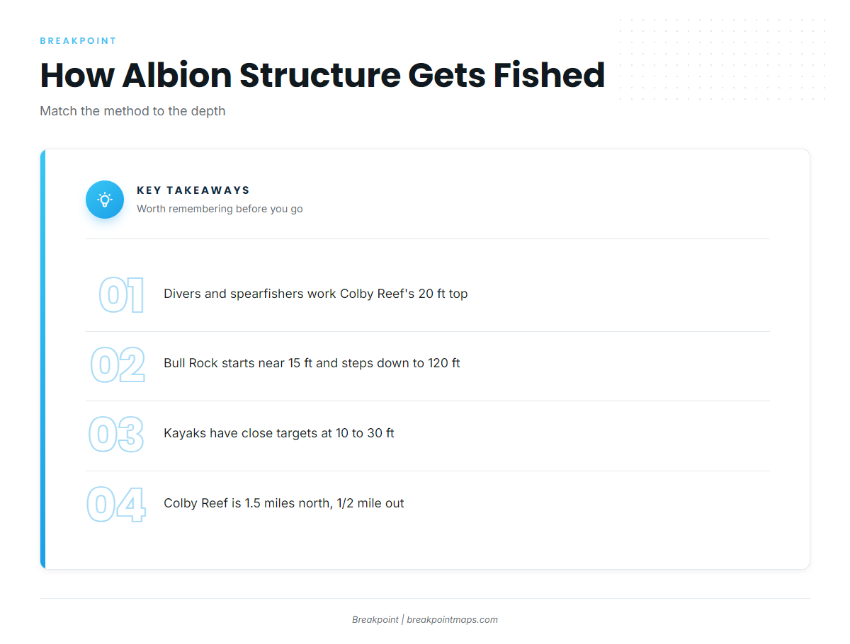
Divers, spearfishers and kayak anglers work this structure for lings and rockfish. Boat anglers running rod and reel will find tackle and method in our lingcod guide.
Spearfishing
Match the method to the depth profile. Colby Reef’s top sits at about 20 ft, and Bull Rock starts about 15 ft down and steps lower. The shallow tops put lings and rockfish structure within reach, and the deeper steps continue below.
Kayak fishing
Kayak anglers have close-in targets:
- The cove pilings and anchors at 10 to 30 ft.
- Whitesboro Cove at 10 to 15 ft.
- Buckhorn Cove’s rock and sand bottom, just north.
Colby Reef sits 1.5 miles north and 1/2 mile out, so weigh those distances before planning the paddle.
Reading conditions before you run
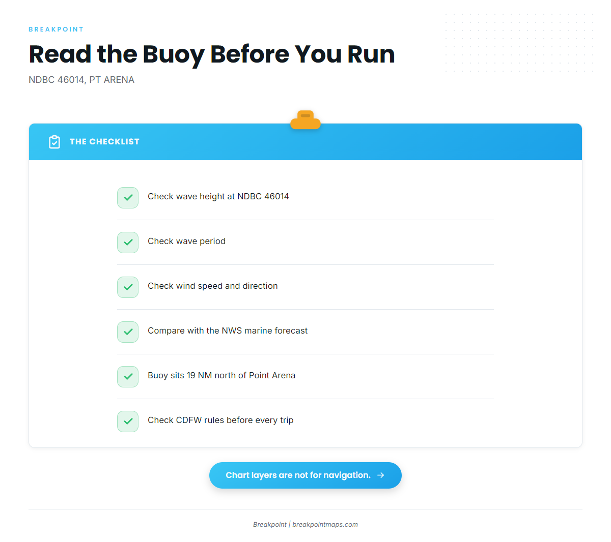
The nearest buoy is NDBC station 46014 readings, PT ARENA, 19 NM north of Point Arena at 39.225 N, 123.980 W. Read wave height, period and wind there, then check them against the NWS Eureka marine forecast.
The buoy sits offshore, north of Point Arena, so its readings describe conditions at that point only, and a forecast is only a forecast. Chart layers are not for navigation.
FAQ about lingcod fishing out of Albion
Where is lingcod structure near Albion?
There are five places to know:
- Colby Reef, 1.5 mi north and 1/2 mi offshore.
- Buckhorn Cove, just north.
- The Albion Cove pilings and anchors.
- Whitesboro Cove, next south.
- Bull Rock, off Whitesboro.
How deep is Colby Reef?
The top is about 20 ft, and it drops past 100 ft.
What is Bull Rock?
It is boat-access structure off Whitesboro Cove. It begins about 15 ft and steps to 120 ft, and it holds rockfish and lings.
How do people fish lingcod here?
Spearfishing and kayak fishing, on the structure listed above.
Which buoy should I check?
NDBC 46014, PT ARENA, 19 NM north of Point Arena. Read wave height, period and wind, and check the NWS forecast.
When is lingcod open?
Check CDFW’s rules on our California regulations page before fishing.