The harbor opens south onto Rhode Island Sound, and every run for mahi-mahi out of Newport starts with clearing the mouth of Narragansett Bay. This page covers how to get out, where to read conditions, who runs mahi trips from the port, and where the rules sit.
Newport as a mahi port
Newport Harbor lies on the east side of the East Passage, 3.5 miles above Beavertail Light, with Rhode Island Sound to the south. The Newport port page has ramps, marinas and grounds. For the other offshore species Newport charters target, see the offshore species Newport charters target.
Who fishes for mahi from Newport
The FishNewportRI charter listing includes mahi among the species it fishes. Its listed boat is Cool Change, a 32 ft Regulator center console with twin 300 hp Yamaha engines. Local charters also fish bluefin and yellowfin tuna on nearshore grounds in summer and early fall.
Getting out of Newport
Three channels and one reef line determine the exit route. The figures below come from the NOAA Coast Pilot 2, Chapter 6.
The East Passage and harbor entrances
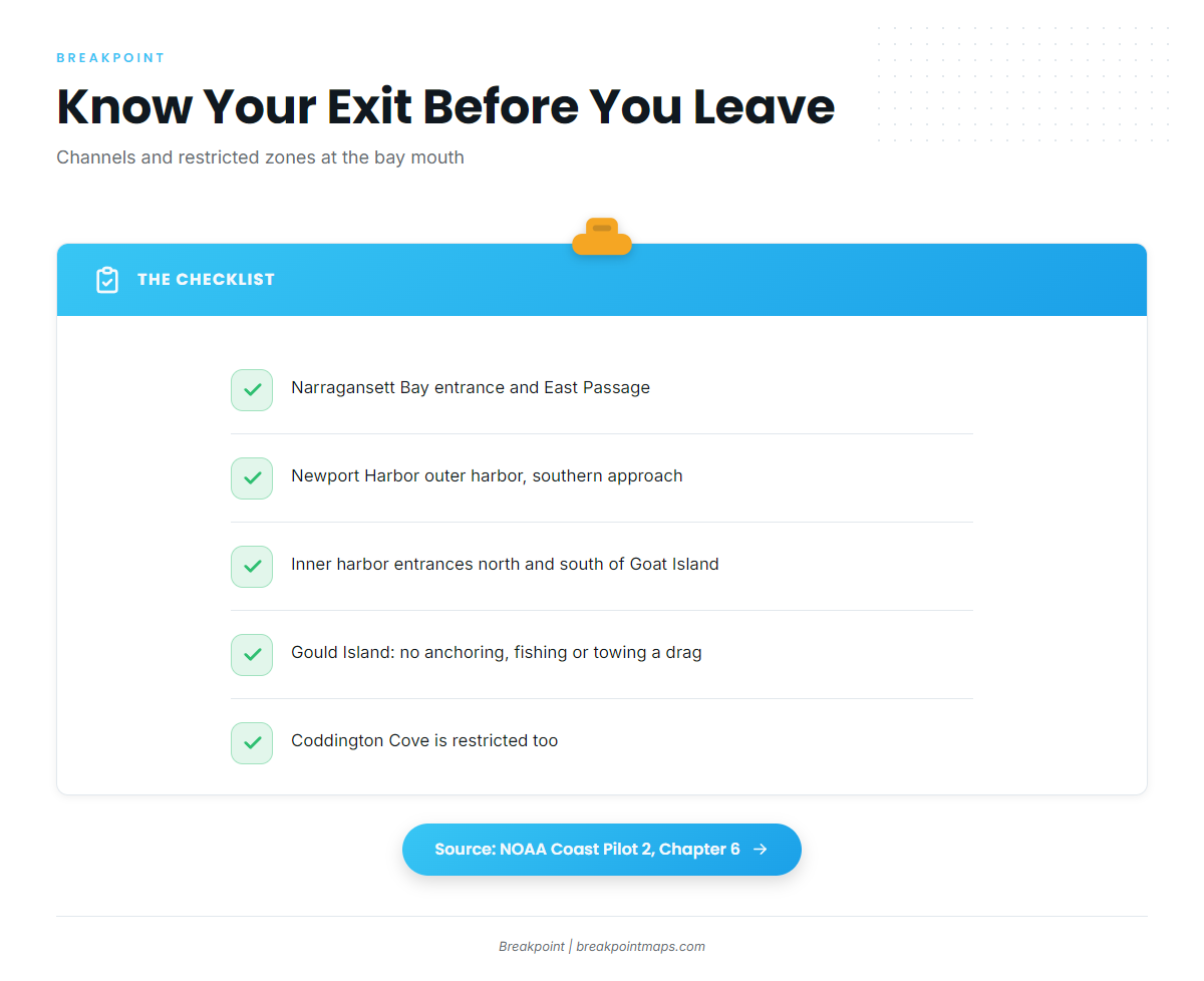
There are three ways in and out:
- Narragansett Bay entrance and East Passage
- Newport Harbor outer harbor, southern approach
- Inner harbor entrances north and south of Goat Island
A naval restricted area surrounds Gould Island and extends north between Conanicut and Prudence Islands. Anchoring, fishing and towing a drag are prohibited there because of a cable system. Coddington Cove is also a restricted area.
Ledges and reefs at the mouth
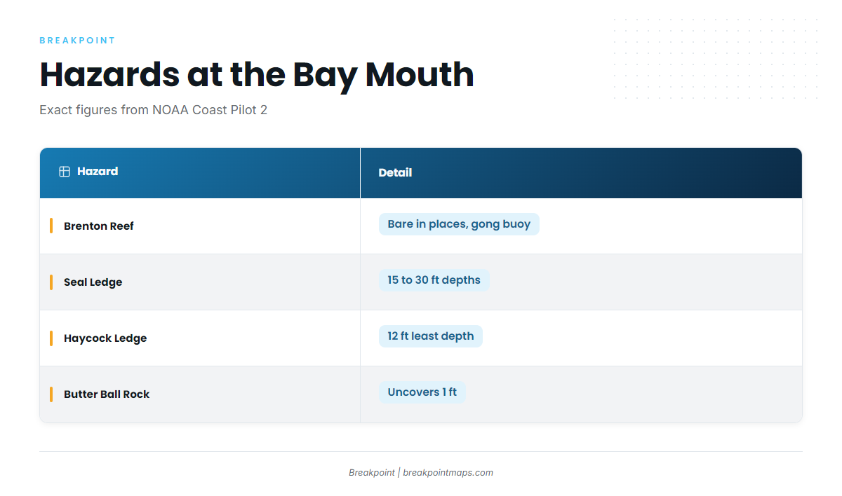
These hazards sit at the mouth of the bay:
- Brenton Reef: bare in places, extends 0.5 mile south-southwestward of Brenton Point, marked by a gong buoy.
- Seal Ledge: depths of 15 to 30 feet.
- Haycock Ledge: least depth of 12 feet.
- Butter Ball Rock: uncovers 1 foot, 0.2 mile south of Castle Hill Light.
The approach described from the east passes well south of Seal Ledge and Brenton Reef and keeps Castle Hill Light bearing east of 003 degrees.
Traffic lanes and the torpedo range
The traffic separation scheme lanes are 1 mile wide and about 11.5 miles long, and they are not buoyed. A 2-mile-wide zone separates the inbound and outbound lanes. Small vessels are asked to use caution and monitor VHF 16 or 13.
A 2-mile-wide Navy torpedo range restricted area lies north of the separation zone, out to 41°24.7’N. It can be closed in daylight and good weather, and closure is shown by red flashing lights on naval vessels.
Ramp and fuel
Fort Adams State Park boat ramp is state-owned and operated by RIDEM. Goat Island Marina lists fuel.
Reading conditions before the run
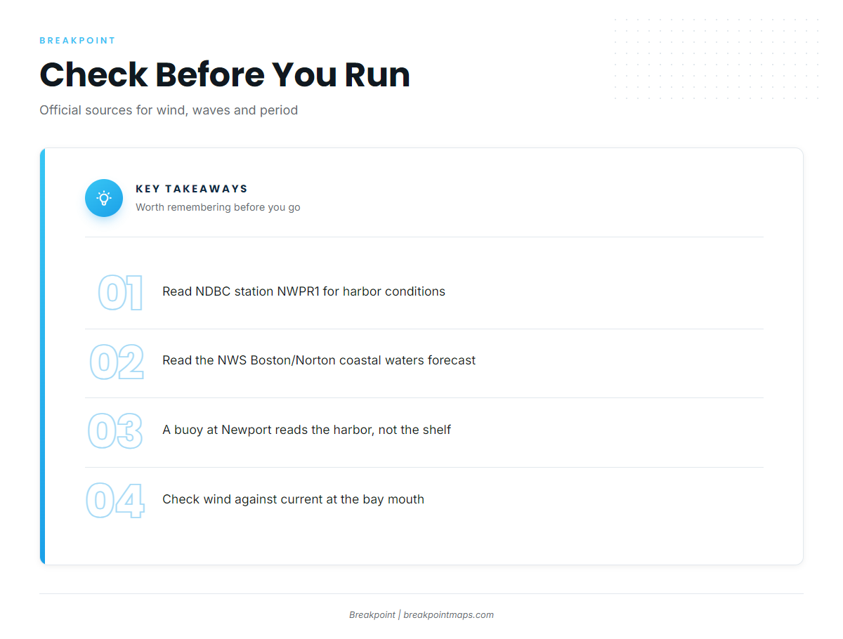
Start with the Newport buoy and the NWS zone forecast. NOAA’s National Data Buoy Center runs the buoy, and NWS Boston/Norton issues the forecast.
Buoy and forecast
- NDBC station NWPR1 at Newport: wind, wave height and period at the harbor.
- NWS Boston/Norton coastal waters forecast: use the Narragansett Bay and Rhode Island Sound zones.
The Newport buoy reads conditions in the harbor rather than on the shelf, so check the offshore zone forecast too. Take wind, wave height and period from these sources and make your own call.
Wind against current at the bay mouth
Off Bull Point the flood reaches about 1.2 knots and is often irregular, sometimes with a long slack or a double flood. The ebb off Bull Point averages 1.5 knots at strength. The Coast Pilot notes strong wind opposing the current at the bay mouth, so compare wind direction with the tide before you leave the dock.
Finding mahi from this port
Biology, structure and methods are covered in the mahi-mahi fishing guide. Timing, water temperature and offshore grounds are in the Atlantic Northeast mahi guide (see also the Atlantic Northeast region guide). Planning a mahi-mahi trip out of Newport starts with finding warm water and edges.
In Breakpoint, OBS SST, Chlorophyll and Chart Contours help you locate warm water and edges before you leave the dock. The chart layers are not for navigation; use the official charts and the Coast Pilot for that.
FAQ about mahi-mahi fishing out of Newport
Which Newport charter lists mahi?
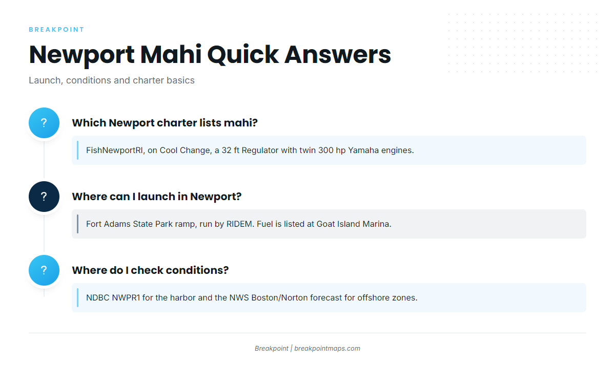
FishNewportRI lists mahi among its species. Its listed boat is Cool Change, a 32 ft Regulator center console with twin 300 hp Yamaha engines.
Where can I launch in Newport?
Fort Adams State Park has a boat ramp, state-owned and operated by RIDEM. Goat Island Marina lists fuel.
Where do I check conditions?
Use NDBC station NWPR1 for the harbor and the NWS Boston/Norton coastal waters forecast for the Narragansett Bay and Rhode Island Sound zones. The buoy reads conditions in the harbor rather than on the shelf, so check the offshore zone forecast too.
Do I need a Rhode Island license?
In federal waters you need one of three things: a Rhode Island recreational saltwater license, a federal registration, or a license from a reciprocal state. The reciprocal states are New York, Connecticut, Massachusetts and Maine. Passengers on licensed charters are exempt. The Rhode Island regulations page has the details.
When are mahi off Rhode Island?
The Atlantic Northeast mahi guide covers timing and water temperature. OBS SST in the app shows where warm water sits on a given day.