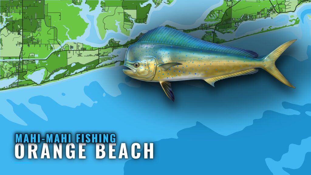
When mahi are around Orange Beach
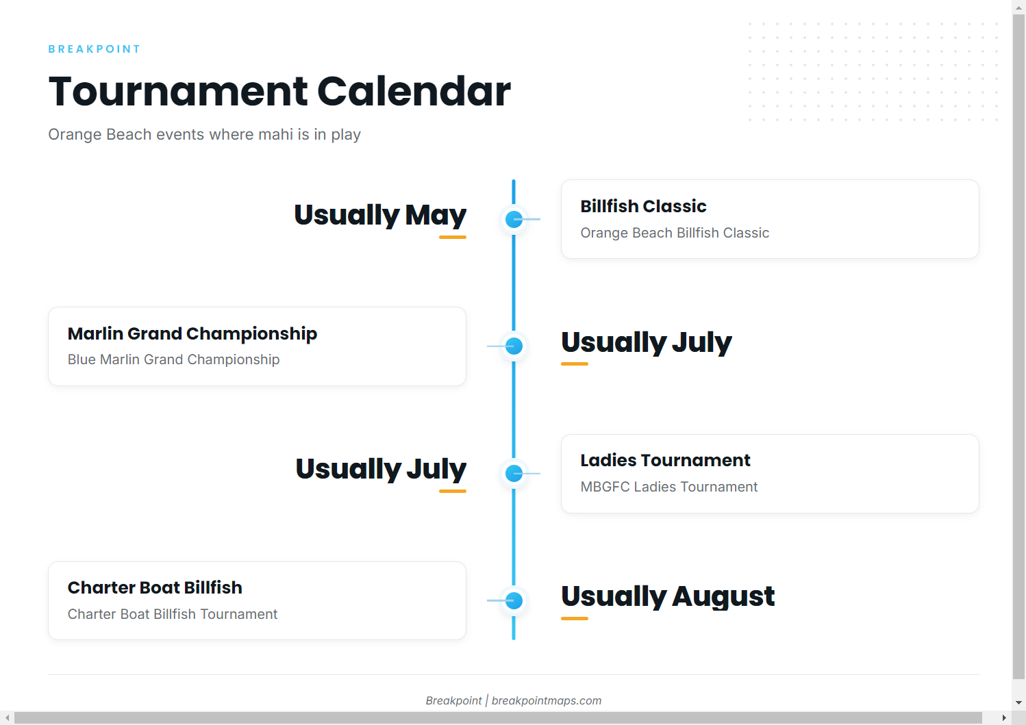
There is no season or month window on record for mahi-mahi at this port, so the offshore tournament calendar is the best local marker of when the fleet is running. Four events anchor it:
- Orange Beach Billfish Classic: usually May.
- Blue Marlin Grand Championship: usually July.
- MBGFC Ladies Tournament: usually July.
- Charter Boat Billfish Tournament: usually August.
For the Gulf-wide picture, see Gulf-wide mahi timing (see also the wider Gulf of Mexico guide). Mahi-mahi fishing out of Orange Beach is an offshore game for boats that run. The Orange Beach port picture gives the port overview, and the species guide covers fish behavior and general tactics.
Where boats run and the structure off Orange Beach
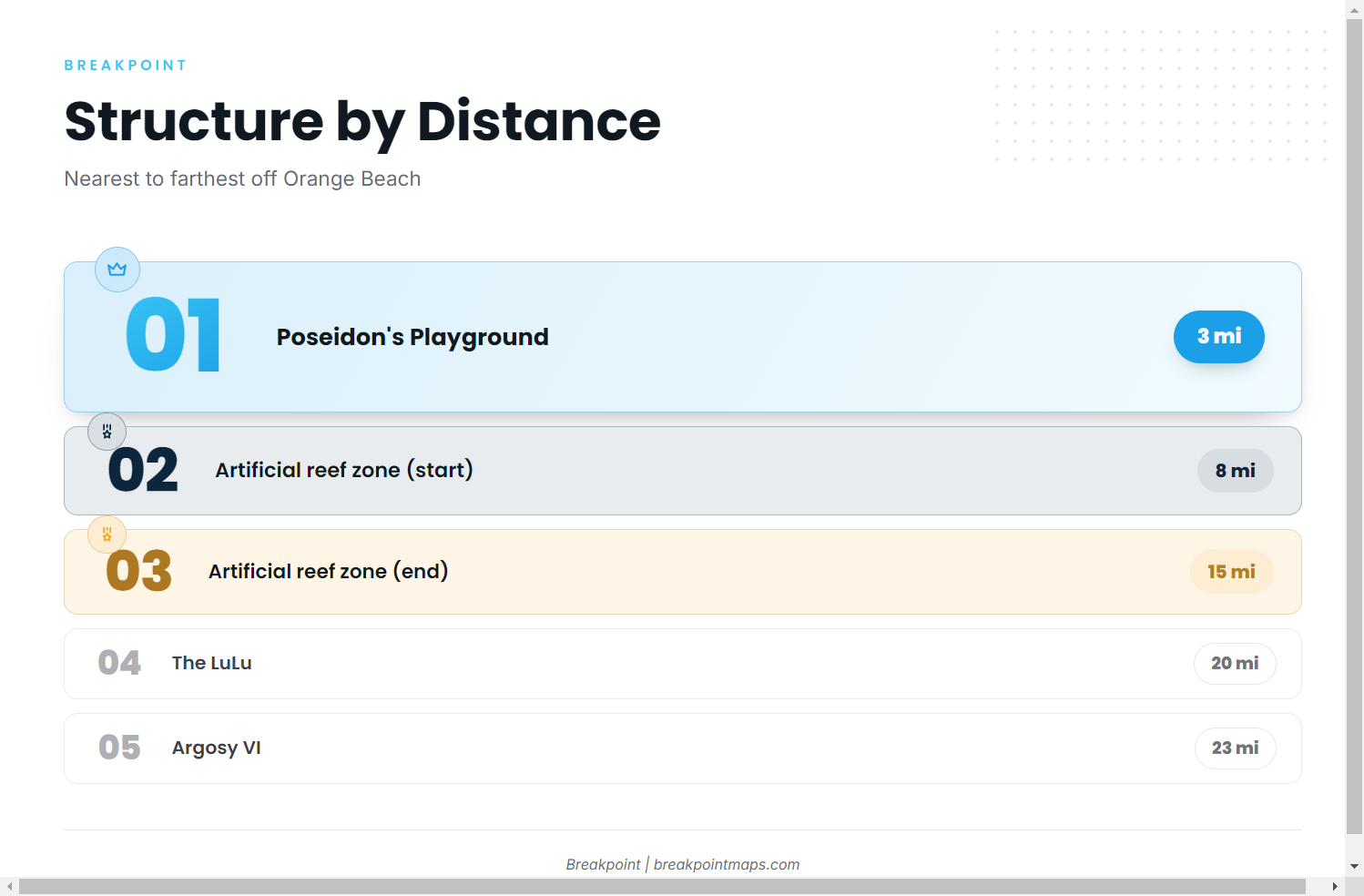
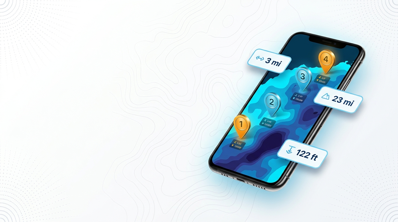
The named offshore structure runs from 3 miles out at Poseidon’s Playground to about 23 miles out at the Argosy VI. The artificial reef zone covers 8 to 15 miles offshore. These are known marks on the run and no guarantee of fish; the water decides the rest.
| Name | Type | Depth | Distance |
|---|---|---|---|
| Poseidon’s Playground | site | 38 ft | 3 miles offshore |
| Orange Beach artificial reef zone | reef zone, 24 sq mi, 48 sites from 64 pyramid modules | not given | 8 to 15 miles offshore |
| The LuLu (formerly M.V. Yokamu) | freighter wreck | 100 ft | about 20 miles south |
| Argosy VI | former riverboat casino, reef barge sunk 2026 | 122 ft | about 23 miles offshore |
Chart Contours shows bottom shape around these marks. Chart layers are not for navigation.
Inside the first 15 miles
Poseidon’s Playground is the first named mark past the beach, 3 miles out in 38 ft.
The artificial reef zone is a field rather than a single spot: 24 square miles at 8 to 15 miles offshore, with 48 reef sites built from 64 pyramid modules. Your run crosses it.
The LuLu and the Argosy VI
The LuLu, formerly the M.V. Yokamu, is a freighter wreck in 100 ft, about 20 miles south. The Argosy VI is a former riverboat casino sunk as a reef barge in 2026, in 122 ft, about 23 miles offshore. They are the two longest runs on the list.
The Whiskey Wreck
The Whiskey Wreck is a Gulf Shores dive site, 150 feet from Bahama Bob’s Beach Side Cafe. It is a beach-side landmark and not offshore mahi water. It is listed here only so it isn’t confused with the offshore marks above.
How mahi are fished out of Orange Beach
The local method on record is offshore trolling, as listed by Shady Lady Charters. The same spread works on other offshore gamefish.
Shady Lady Charters
Shady Lady Charters lists mahi-mahi along with offshore trolling and fishing. The boat is the Shady Lady, a 60-foot A1 Marine vessel, with Captain Brian per the listing.
The tournament fleet
The four tournaments above put the offshore fleet on the water, so expect more boats on the run in those windows.
Reading conditions at buoy 42012
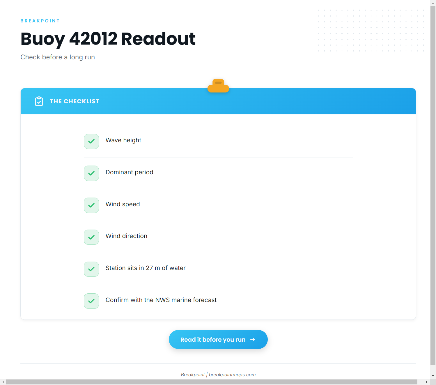
NDBC station 42012 Orange Beach sits at 30.061 N, 87.547 W, 44 NM SE of Mobile, in 27 m (about 89 ft) of water.
What the buoy reads
Four fields matter for a run of up to 23 miles:
- Wave height: the size of the sea at the station, in feet.
- Dominant period: the time between wave crests, in seconds. A longer period means more energy behind the same height.
- Wind speed: sets how much chop builds on top of the swell.
- Wind direction: shows which way that chop runs against your heading.
A station in 27 m of water, 44 NM out, records open-water conditions that differ from what you see at the beach, which is why it is worth reading before you commit to a long run. A buoy reading is a single point in the water, so treat it as confirmation and use the official NWS marine forecast as the authority.
FAQ: mahi-mahi out of Orange Beach
How far do boats run for mahi out of Orange Beach?
The named structure runs from 3 miles out at Poseidon’s Playground to about 23 miles out at the Argosy VI. The artificial reef zone covers 8 to 15 miles offshore. These are known marks on the run, and none of them guarantees fish.
How deep is the LuLu?
The LuLu sits in 100 ft, about 20 miles south of Orange Beach. It is a freighter wreck, formerly the M.V. Yokamu.
What is the Argosy VI?
The Argosy VI is a former riverboat casino sunk as a reef barge in 2026. It sits in 122 ft, about 23 miles offshore from Orange Beach.
What is the Orange Beach artificial reef zone?
It covers 24 square miles with 48 reef sites built from 64 pyramid modules, 8 to 15 miles offshore of Orange Beach.
Which buoy covers the offshore water?
NDBC station 42012 Orange Beach, 44 NM SE of Mobile, in 27 m of water. Read it for wave height, period and wind, and check the NWS marine forecast alongside it.
Which tournaments out of Orange Beach include mahi?
The Orange Beach Billfish Classic (usually May), the Blue Marlin Grand Championship (usually July), the MBGFC Ladies Tournament (usually July) and the Charter Boat Billfish Tournament (usually August).