When mahi are off Port Aransas
July is the peak month for mahi-mahi out of Port Aransas. Tourism listings for Port Aransas give July through September, while local charter calendars and the Gulf species guide put the peak at May through September, with July on top. The two fit together: July through September is the core window inside a wider peak. The local tournaments fall inside it, and the Gulf-wide picture (see also the wider Gulf of Mexico guide) covers the wider range.
| Source | Window |
|---|---|
| Port Aransas tourism listings | July through September |
| Local charter calendars and Gulf species guide | May through September, July the peak |
How far boats run
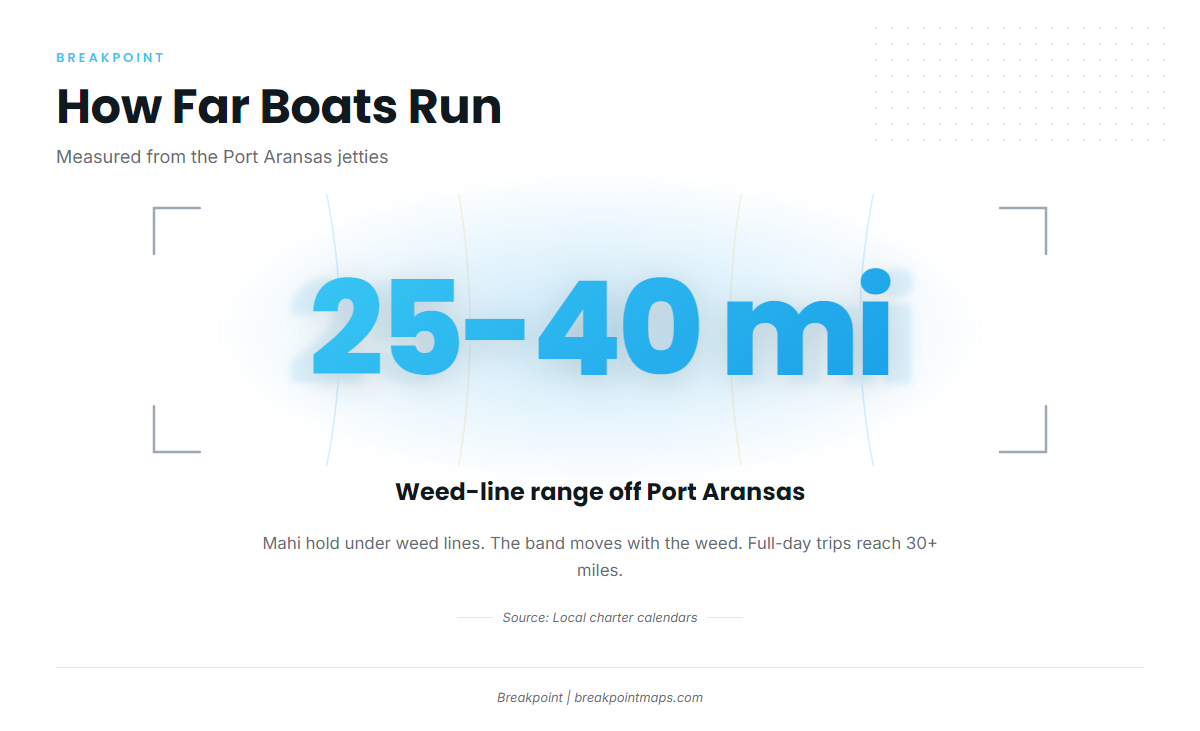
Weed lines set up within 25 to 40 miles of Port Aransas. That is where the run starts, and it is the figure to plan fuel around.
Weed-line range
Local charter calendars put weed lines within 25 to 40 miles of Port Aransas, and mahi hold under them. The band moves with the weed, so treat it as a range rather than a fixed spot.
Full-day trips
Full-day trips reach 30 or more miles out, according to the Port Aransas tourism summary. That distance sits inside the weed-line band, and the fixed structure below gives the run its waypoints.
Grounds and structure off the jetties
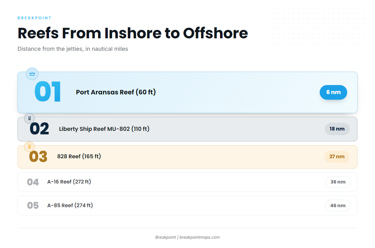
Reefs stay put while weed lines drift. Use the reefs to orient the run, and keep in mind that mahi hold on floating structure, not on the reef itself.
| Reef | Depth (ft) | Distance from jetties | Waters |
|---|---|---|---|
| Port Aransas Reef | 60 | 6 nm southeast | State |
| TPWD nearshore reef (160 acres) | 70 | Between Packery Channel and Port Aransas | State |
| Lonestar Reef | Near Port Aransas | State | |
| Boatman’s Reef | Near Port Aransas | State | |
| Mustang Island Liberty Ship Reef (MU-802) | 110 | 18 nm southeast | Federal |
| 828 Reef (MU-828 jacket reefs) | 165 | 27 nm | Federal |
| A-16 Reef | 272 | 36 nm | Federal |
| A-85 Reef | 274 | 46 nm | Federal |
Reef distances are in nautical miles (nm), while weed-line ranges are in miles. The two are not converted here.
Nearshore state-water reefs
Port Aransas Reef sits in 60 ft, 6 nm southeast of the jetties. The TPWD nearshore reef covers 160 acres in 70 ft, between Packery Channel and Port Aransas. Lonestar Reef and Boatman’s Reef are also in state waters near the port. Together they mark the inshore boundary, well inside the weed-line band.
Liberty Ship Reef MU-802
Mustang Island Liberty Ship Reef (MU-802) lies in 110 ft, 18 nm southeast of the jetties. It is the first named waypoint on the run out, short of the 25-mile weed-line start.
828 Reef
The MU-828 jacket reefs sit in 165 ft, 27 nm out. This is the named ground that falls inside the weed-line band.
A-16 and A-85
A-16 Reef is in 272 ft, 36 nm out, at the outer edge of the band. A-85 Reef is in 274 ft, 46 nm out, the farthest named ground. Both are waypoints for full-day runs.
How mahi are fished out of Port Aransas
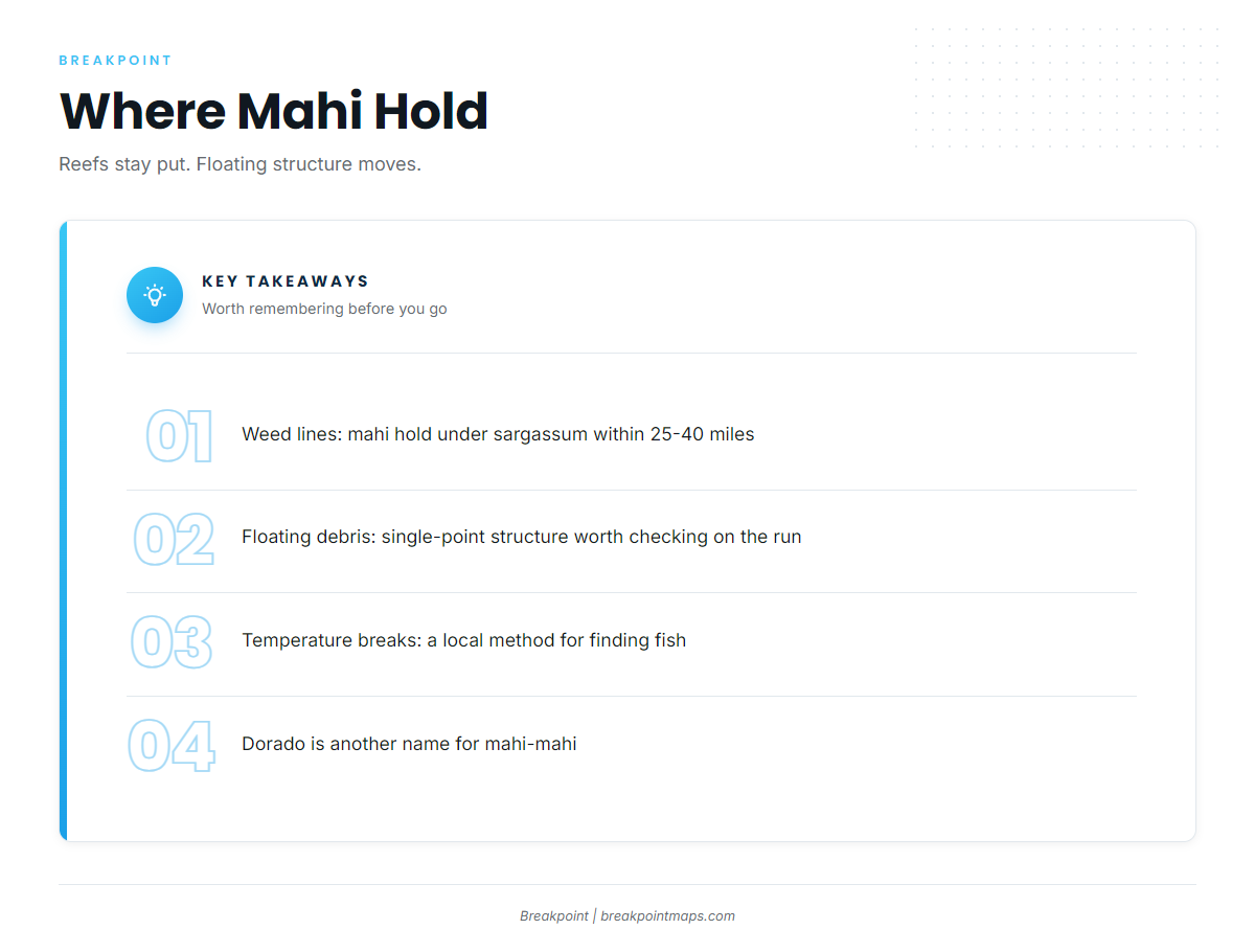
Weed lines, floating debris and temperature breaks are the local methods, per the Gulf species guide. More on the species across the coast is in our offshore gamefish coverage.
- Weed lines: the main structure, within 25 to 40 miles
- Floating debris: single-point structure worth checking on the run
- Temperature breaks: edges where water changes and fish stack
Weed lines
Mahi hold under sargassum weed lines within 25 to 40 miles of Port Aransas.
Floating debris
Floating debris is single-point structure. Check any you pass on the run.
Temperature breaks
Temperature breaks are a local method. Our OBS SST layer shows them, chlorophyll shows water-color edges, and Chart Contours puts the reefs in the table above on the same screen. The layers help you decide where to look and do not promise fish. Chart layers are not for navigation.
Dorado on the 56 and 60-hour trips
Dorado is another name for mahi-mahi, and it is the name used on the local 56 and 60-hour trips.
Who fishes for mahi here
Charters and tournaments both work this water. The lists below give the facts without ranking anyone.
Charters
These charters list mahi-mahi:
- Fisherman’s Wharf (Port Aransas Fisherman’s Wharf, LLC): vessels Wharf Cat and Scat Cat, 60-hour trip
- Hot Spot Fishing Charters: 39-foot Yellowfin center console, 4 engines and 1200 combined HP per its site
- Coastal Charters TX: luxury boats Bellagio and Standaman
Tournaments
- Port Aransas Deep Sea Roundup, usually July
- Texas Legends Billfish Tournament, usually August
- Texas Women Anglers Tournament (TWAT), usually August
FAQ: mahi-mahi out of Port Aransas
What is the best month for mahi-mahi out of Port Aransas?
July is the peak month. The wider peak runs May through September, and tourism listings give July through September.
How far out do boats run for mahi?
Weed lines set up within 25 to 40 miles, and full-day trips reach 30 or more miles.
Is dorado the same fish as mahi-mahi?
Yes. Dorado is the name used on the local 56 and 60-hour trips.
Which reef is closest to the weed-line range?
828 Reef, at 165 ft and 27 nm from the jetties, sits inside the band. A-16 (36 nm) sits at its outer edge.
Which tournaments target mahi out of Port Aransas?
The Deep Sea Roundup (usually July), the Texas Legends Billfish Tournament (usually August) and TWAT (usually August).
Where are the fishing rules?
TPWD sets the state rules. Check the Texas regulations page and TPWD before fishing.