How far boats run from Orange Beach
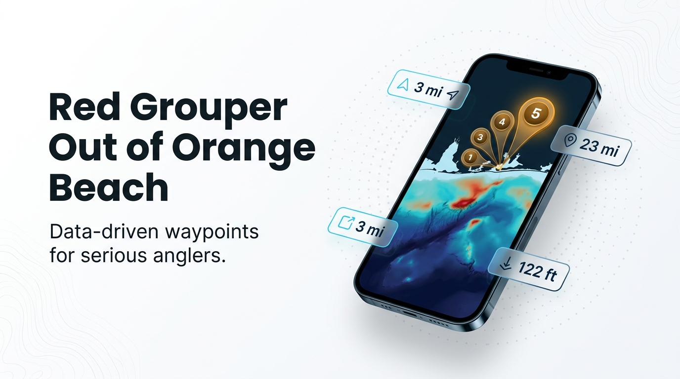
Red grouper fishing out of Orange Beach is an offshore run over named reefs and wrecks between 3 and about 23 miles out, with charter trips stretching to 45. If you run your own boat from Orange Beach, the question is which structure is worth the fuel. The wider picture is in the red grouper fishing in the Gulf of Mexico and the Gulf of Mexico fishing guide.
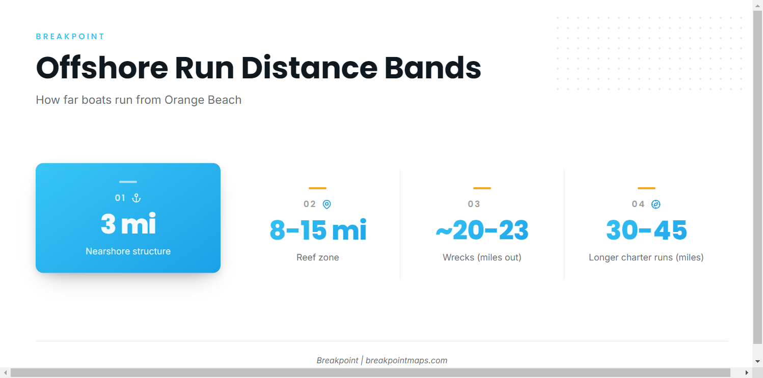
The distances fall into four bands:
- 3 miles: Poseidon’s Playground, the nearest named structure with a stated depth.
- 8 to 15 miles: the Orange Beach artificial reef zone.
- About 20 to 23 miles: The LuLu and Argosy VI.
- 30 to 45 miles: the longer charter runs.
Visitors with a trailer boat should plan around the middle two bands, which hold most of the named structure.
Charter trip ranges
Chipper’s Clipper runs 6-hour trips 8 to 25 miles out, a range that takes in the reef zone, The LuLu and Argosy VI. Its longer trips reach 30 to 45 miles. Those figures make a useful benchmark for your own runs.
Reading buoy 42012
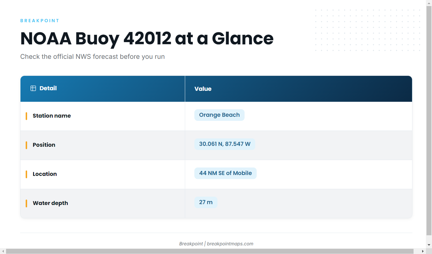
NOAA NDBC station 42012 is the offshore buoy for this port. Its details:
- Named "Orange Beach"
- Located at 30.061 N, 87.547 W
- 44 NM SE of Mobile
- Water depth 27 m
The buoy reports conditions at that one point, not at every reef. Read the wind, wave height and period it reports, then check the official NWS Mobile coastal waters forecast before you run.
Grounds and structure off Orange Beach
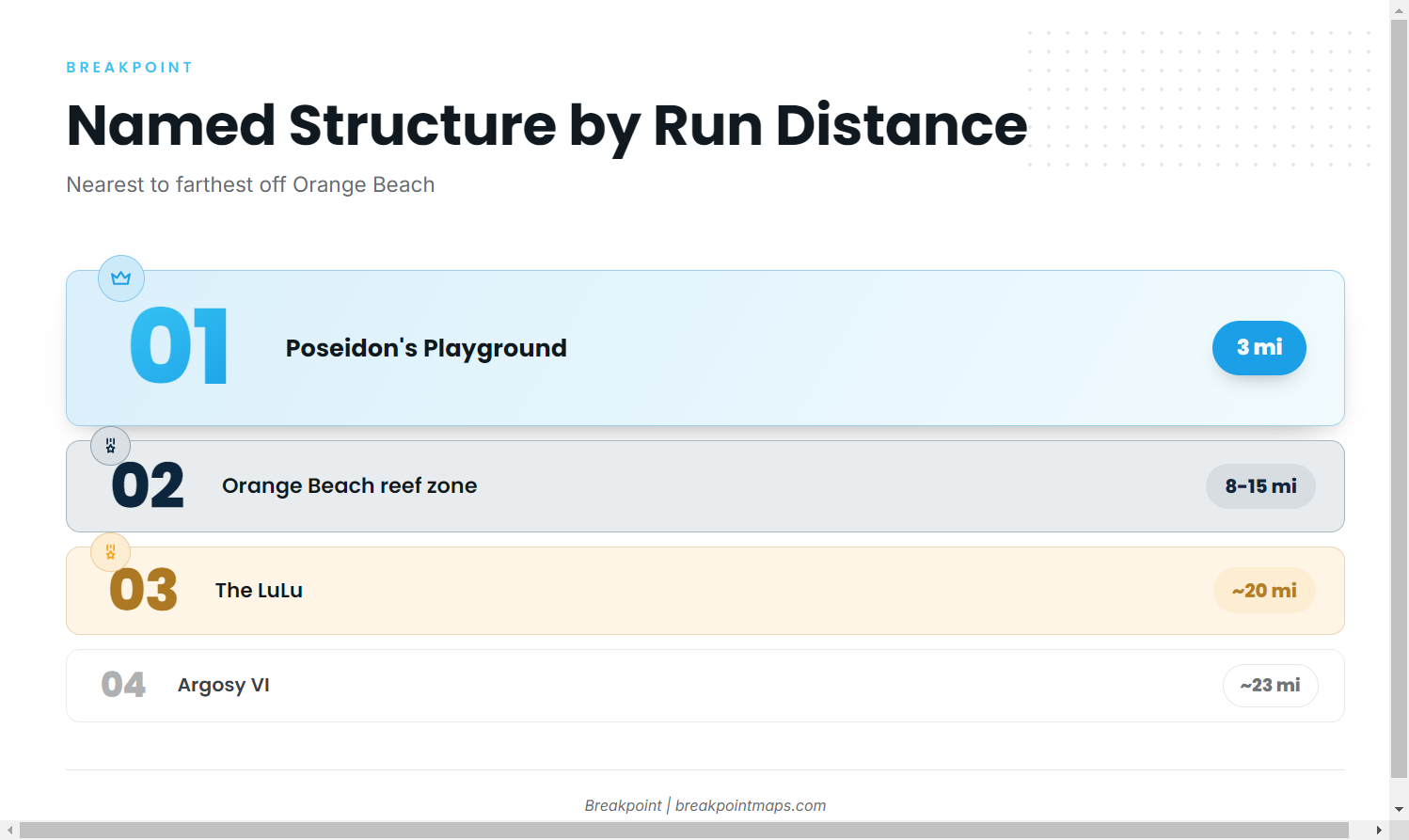
The table lists the named structure sites off this port from nearest to farthest, with depth and distance where known. For the broader picture of reef fish along the northern Gulf, see the regional guide.
| Site | Type | Depth (ft) | Distance |
|---|---|---|---|
| Whiskey Wreck | Beach dive site | Not given | 150 ft from Bahama Bob’s Beach Side Cafe, Gulf Shores |
| Poseidon’s Playground | Reef site | 38 | 3 miles offshore |
| Orange Beach artificial reef zone | 48 reef sites from 64 pyramid modules | Not given | 8 to 15 miles offshore |
| The LuLu (formerly M.V. Yokamu) | Freighter wreck | 100 | About 20 miles south |
| Argosy VI | Reef barge | 122 | About 23 miles offshore |
Plotting these sites against Chart Contours shows how depth changes between bands, which helps in deciding which one justifies the fuel. Chart layers are not for navigation.
Whiskey Wreck
Whiskey Wreck is a Gulf Shores beach dive site, 150 feet from Bahama Bob’s Beach Side Cafe. It sits near the beach rather than on the offshore grounds.
Poseidon’s Playground
Poseidon’s Playground lies in 38 ft of water, 3 miles offshore. It is the shallowest and nearest named structure with a stated depth.
Orange Beach artificial reef zone
The Orange Beach artificial reef zone covers 24 square miles and holds 48 reef sites built from 64 pyramid modules, 8 to 15 miles offshore of Orange Beach. That places it inside the 8 to 25 mile range of the 6-hour charter trips.
The LuLu
The LuLu, formerly the M.V. Yokamu, is a freighter wreck in 100 ft of water, about 20 miles south of Orange Beach.
Argosy VI
Argosy VI is a former riverboat casino sunk as a reef barge in 2026. It sits in 122 ft of water, about 23 miles offshore, the deepest named structure listed here.
How red grouper are fished here
The local method is bottom fishing, as listed for Chipper’s Clipper offshore trips: bait goes on the bottom over structure and stays there. For more detail, see the species guide on red grouper rigs and behavior.
Who fishes for them out of Orange Beach
Chipper’s Clipper, a 42 ft boat listed on FishingBooker, lists red grouper among its target species. Its trip ranges, covered above, give a local reference point for how far boats run from this port.
FAQ about red grouper fishing out of Orange Beach
How far do boats run for red grouper out of Orange Beach?
Chipper’s Clipper runs 6-hour trips 8 to 25 miles out, and longer trips reach 30 to 45 miles. Named structure sits between 3 and about 23 miles.
What is the deepest named structure off Orange Beach?
Argosy VI, at 122 ft, about 23 miles offshore. The LuLu is next at 100 ft, about 20 miles south.
Where can I read offshore conditions before running?
NOAA NDBC station 42012, at 30.061 N, 87.547 W in 27 m of water. It reports only its own point, so check the official NWS forecast too.
How is red grouper fished from this port?
Bottom fishing, as on Chipper’s Clipper offshore trips.
Where are the fishing rules for this port?
Check the Alabama regulations page and the federal Gulf reef fish rules before fishing, because both can apply off this port.