Where Swansboro boats run for vermilion snapper
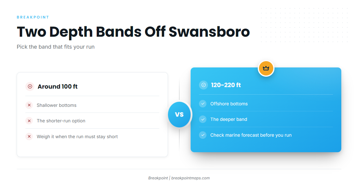
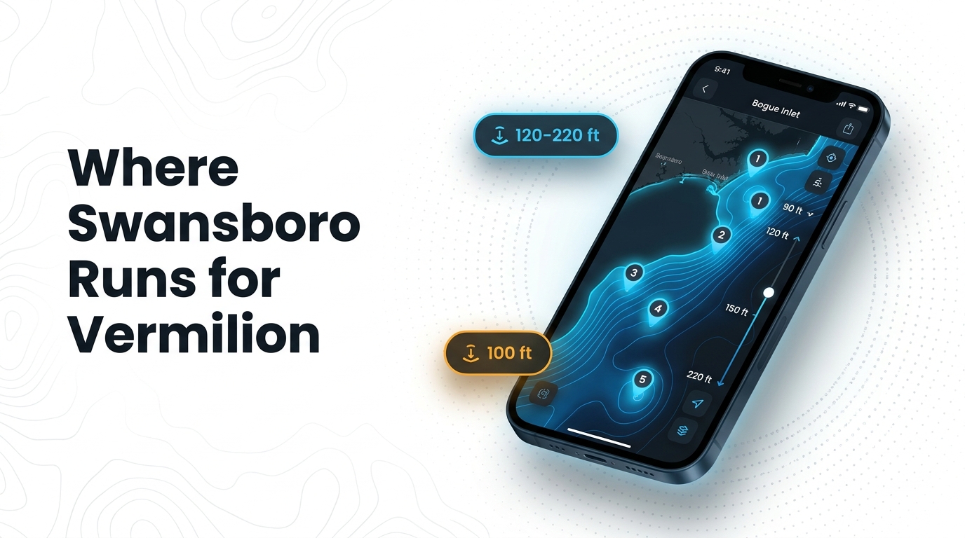
Vermilion snapper fishing out of Swansboro works two depth bands: offshore bottoms at 120-220 ft and shallower bottoms around 100 ft. Boats go out through Bogue Inlet and run to those bottoms. For timing and biology, see our vermilion snapper guide. The wider picture is in the vermilion snapper fishing in the Atlantic Southeast and the Atlantic Southeast fishing guide.
| Band | Depth | Fit |
|---|---|---|
| Shallower bottoms | About 100 ft | Shorter run |
| Offshore bottoms | 120-220 ft | Deeper run |
The 100 ft bottoms
The bottoms around 100 ft are the shorter run, so they’re the first band to consider when you want to keep the trip tight.
The 120-220 ft offshore bottoms
The offshore bottoms at 120-220 ft are the deeper band. Before you run out, check the official marine forecast for wind, wave height and period.
Grounds and structure near Swansboro
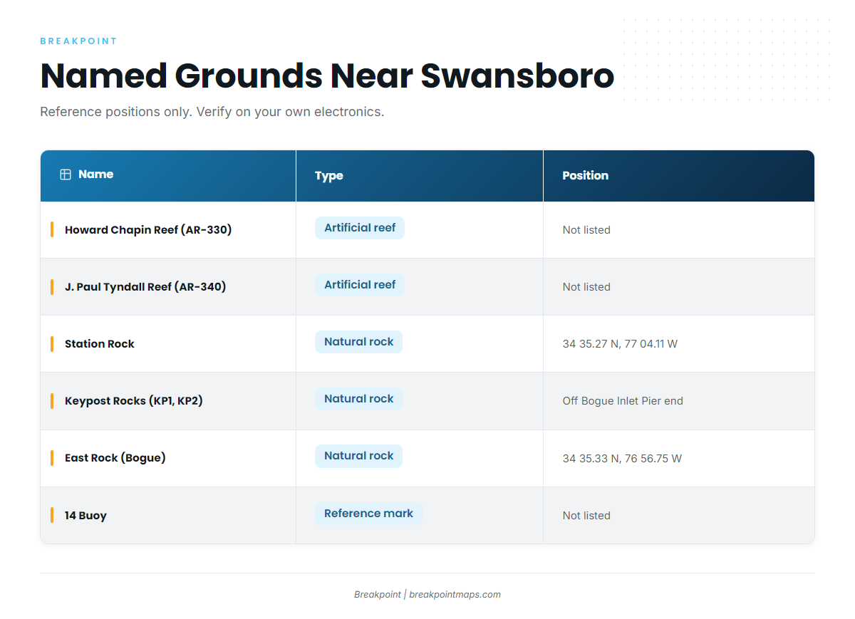
The named grounds fall into two groups: state artificial reef sites, which carry AR numbers, and natural rock. The AR numbers follow the state artificial reef guide.
| Name | Type | Position/location |
|---|---|---|
| Howard Chapin Reef (AR-330) | Artificial reef | |
| J. Paul Tyndall Reef (AR-340) | Artificial reef | |
| Onslow Bay Sport Fishing Club Reef (AR-342) | Artificial reef | |
| Swansboro Rotary Club Reef (AR-345) | Artificial reef | |
| Station Rock | Natural rock | 34 35.27 N, 77 04.11 W. About 2-3 miles from Bogue Inlet. |
| Keypost Rocks (KP1 and KP2) | Natural rock | Directly out from the end of Bogue Inlet Fishing Pier |
| East Rock (Bogue) | Natural rock | 34 35.33 N, 76 56.75 W |
| 14 Buoy | Reference mark |
The coordinates are reference positions. Check them against your own electronics and official NOAA nautical charts; chart layers are not for navigation. Chart Contours in the app helps plot these grounds against the bottom.
Artificial reefs
The four artificial reefs are Howard Chapin Reef (AR-330), J. Paul Tyndall Reef (AR-340), Onslow Bay Sport Fishing Club Reef (AR-342) and Swansboro Rotary Club Reef (AR-345).
Natural rock
Station Rock is the nearshore rock, about 2-3 miles from Bogue Inlet. Keypost Rocks (KP1 and KP2) sit directly out from the end of Bogue Inlet Fishing Pier. East Rock (Bogue) is at 34 35.33 N, 76 56.75 W.
14 Buoy
14 Buoy is a local mark used by Swansboro bottom fishermen.
How vermilion snapper are fished from Swansboro
The local method is offshore bottom fishing, worked on the 100 ft and 120-220 ft bottoms described above.
Offshore bottom fishing
Vermilion snapper, known locally as beeliners, are a regular catch on these bottoms.
The mixed bag: triggerfish, gag and scamp grouper
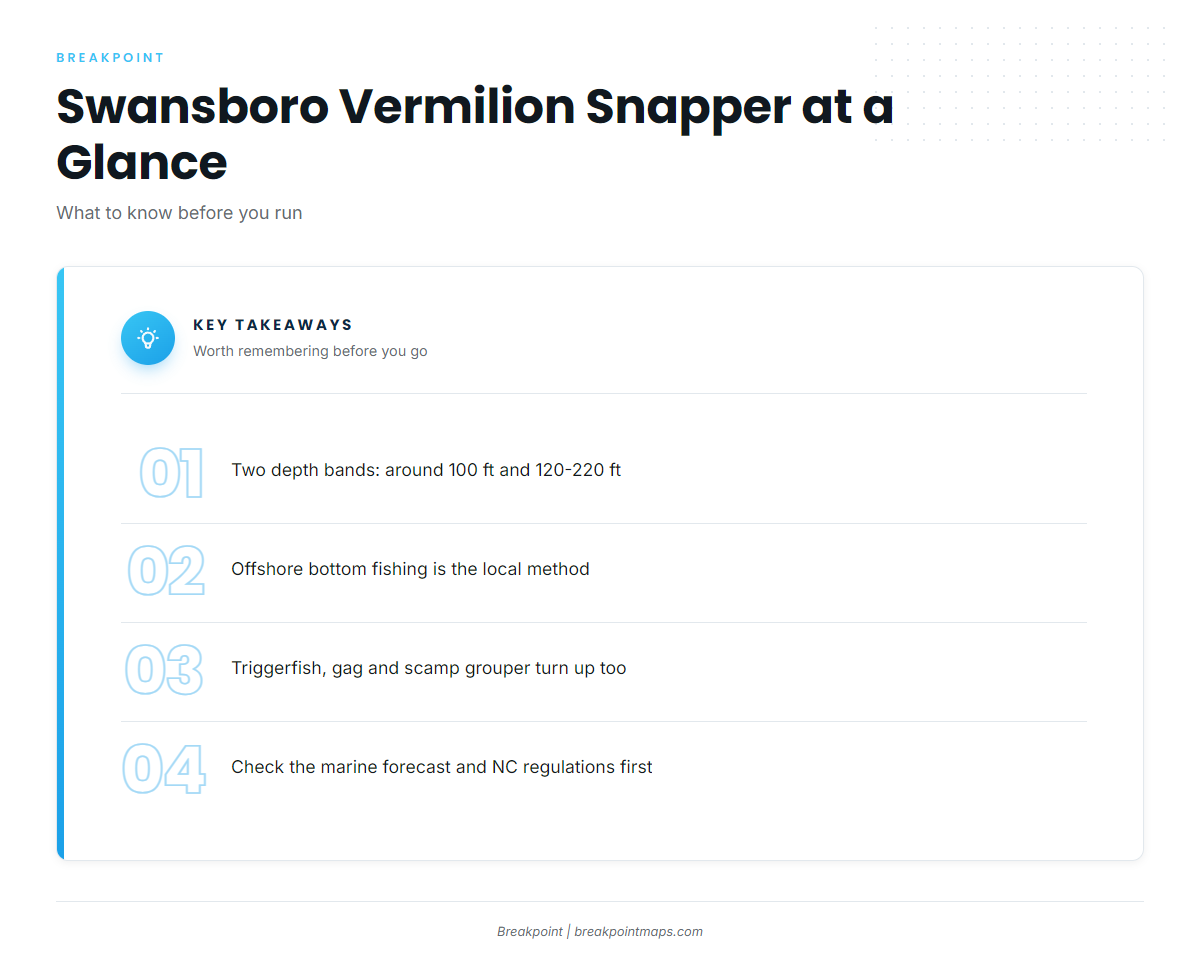
Vermilions often come up alongside triggerfish, gag grouper and scamp grouper on the same bottoms. For the wider regional picture, see our reef fish guides.
Who fishes for them
Captains reporting in the Swansboro/Emerald Isle section of Swansboro/Emerald Isle Fisherman’s Post reports list vermilion snapper. Because these boats report from the Swansboro/Emerald Isle area, their home port is not confirmed as Swansboro.
FAQ
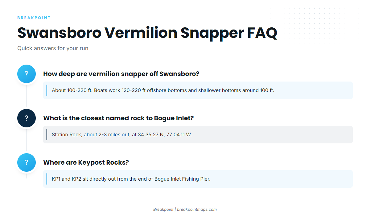
How deep are vermilion snapper off Swansboro?
Vermilion snapper fishing out of Swansboro runs about 100-220 ft. Boats work the 120-220 ft offshore bottoms and shallower bottoms around 100 ft.
What is the closest named rock to Bogue Inlet?
Station Rock, about 2-3 miles out, at 34 35.27 N, 77 04.11 W.
Where are Keypost Rocks?
KP1 and KP2 sit directly out from the end of Bogue Inlet Fishing Pier.
What else bites with vermilions here?
Triggerfish, gag grouper and scamp grouper turn up alongside them.
Where are the vermilion snapper rules for Swansboro?
On the North Carolina regulations page, linked in the regulations section above. Check it before fishing.