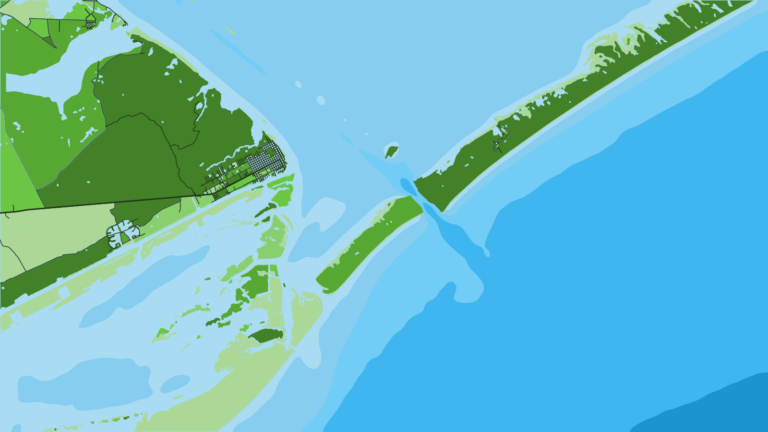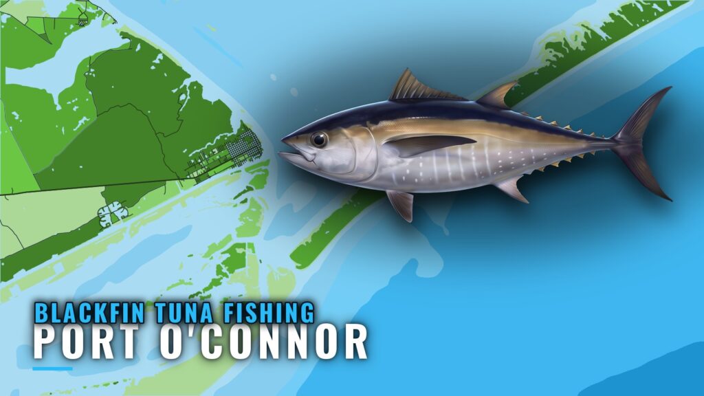
Blackfin tuna fishing out of Port O’Connor is an offshore trip whose timing depends on season and conditions. Boats leave through the Port O’Connor jetties, cross the flat out to Bird Island, and run to the Gulf via the Matagorda Ship Channel.
When blackfin are around Port O’Connor
Blackfin show up here according to season and conditions rather than a fixed calendar. Check wind, wave height and period on the official marine forecast before committing to the run. For species biology and general timing, see our blackfin tuna guide. For the regional picture, see blackfin in the Gulf of Mexico (see also the wider Gulf of Mexico guide).
- Timing: season and conditions set the window, not a date.
- Decision input: forecast wind, wave height and period, in numbers.
- Planning input: the depth of the structure you plan to fish.
Running out from Port O’Connor
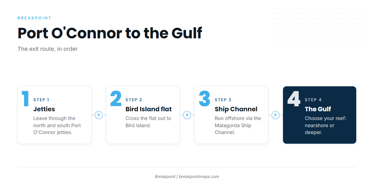
The route runs in order: the Port O’Connor jetties, the flat out to Bird Island, the Matagorda Ship Channel, then the Gulf. The Port O’Connor port guide covers the ramp, marina and approach. Before you run the channel, check wind and current readings at the NOAA PORTS Matagorda Bay stations.
Jetties and the Bird Island flat
The north and south Port O’Connor jetties and the flat out to Bird Island form the Gulf entrance for Port O’Connor boats. Every offshore run starts here.
Matagorda Ship Channel
Boats go offshore via the Matagorda Ship Channel, which connects the jetties to the Gulf.
Grounds and structure
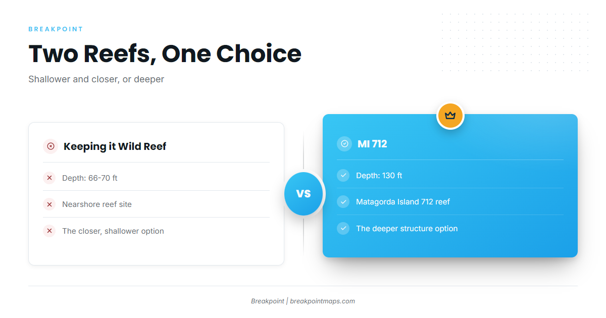
Two named reefs are the main choices: Keeping it Wild Reef at 66-70 ft nearshore, and MI 712 at 130 ft.
| Site | Type | Depth (ft) |
|---|---|---|
| Keeping it Wild Reef | Nearshore artificial reef | 66-70 |
| Matagorda Island 712 (MI 712) | Artificial reef | 130 |
Chart Contours shows the 66-70 ft and 130 ft depths. Chart layers are not for navigation.
Keeping it Wild Reef
Keeping it Wild Reef sits in 66-70 ft. It is the nearshore reef site off Port O’Connor, and the closer and shallower of the two.
MI 712
Matagorda Island 712 (MI 712) is a reef in 130 ft. It is the deeper option, at roughly twice the depth of Keeping it Wild Reef.
How it is fished and who fishes it
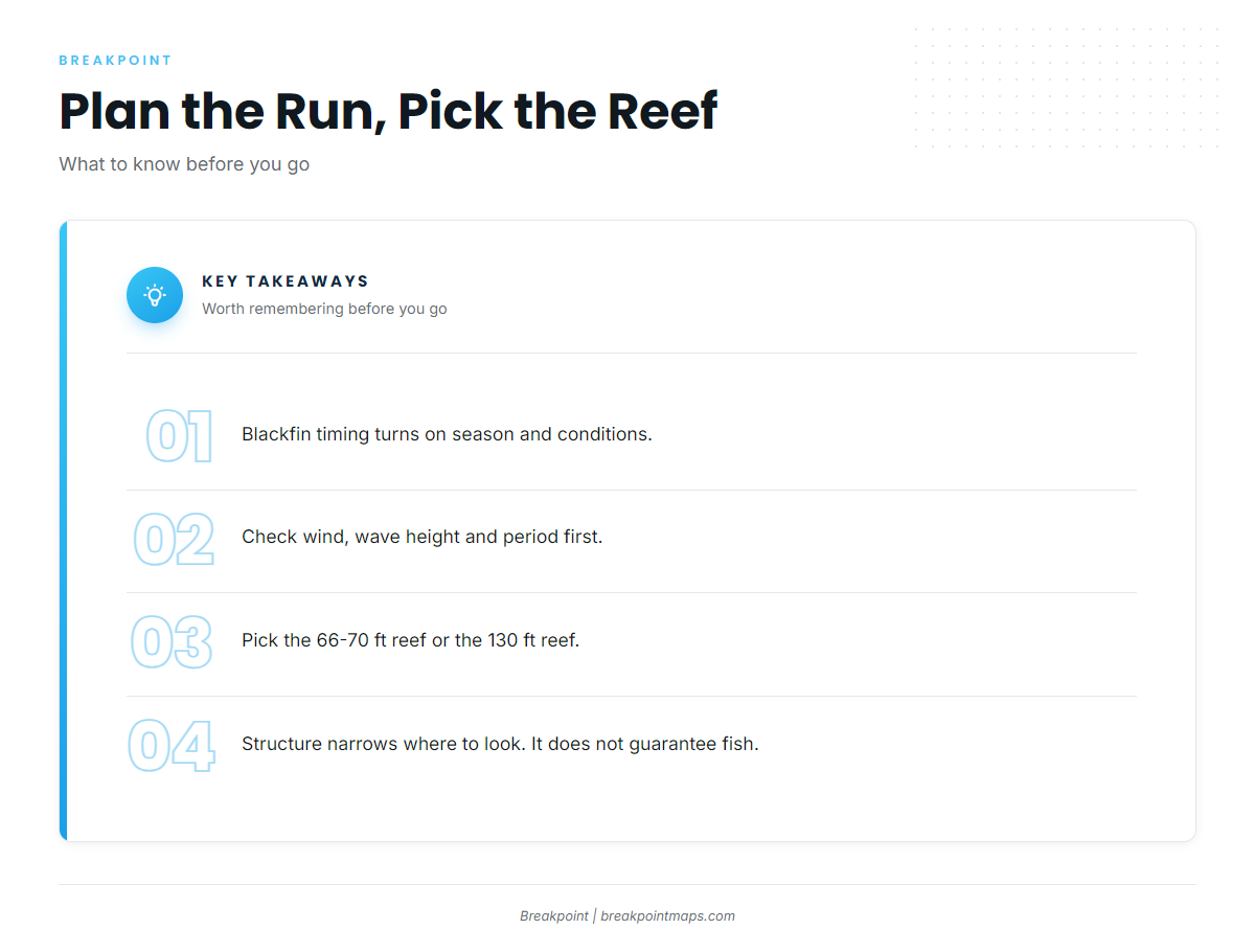
The fleet here is made up of owner-operators running their own boats, leaving through the jetties and the Matagorda Ship Channel. The decision gets made at the water: choose the nearshore reef or the deeper one, and weigh the run against season and conditions. For tactics and tackle, see our tuna fishing guides. Structure narrows where to look, but it doesn’t guarantee fish.
FAQ: blackfin tuna fishing out of Port O’Connor
How do Port O’Connor boats get to the Gulf?
Boats go through the Port O’Connor jetties (north and south), across the flat out to Bird Island, then offshore via the Matagorda Ship Channel.
What depth is Keeping it Wild Reef?
It sits in 66-70 ft. It is the nearshore reef site off Port O’Connor and the shallower of the two named reefs.
How deep is MI 712?
Matagorda Island 712 is a reef in 130 ft, the deeper of the two options compared with Keeping it Wild Reef.
When are blackfin around Port O’Connor?
It depends on season and conditions rather than a fixed calendar. Check wind, wave height and period on the official marine forecast before you run.
Where are the blackfin limits?
They are not restated here. TPWD sets Texas rules, and tunas are federal Highly Migratory Species. See the Regulations section above and check before fishing.