Mahi-mahi off Port Fourchon
Mahi-mahi fishing out of Port Fourchon is a trolling fishery built around offshore structure: a CCA reef, natural hard bottom and oil rigs. Boats leave from the departure point on the Port Fourchon port page, which also has launch and conditions detail.
This page covers the named structure, the depth and distance to the reef, the local method and where the rules live. It points you to a better place to start looking and makes no promise about fish.
In short:
- Reef: Jacob Meek Reef II, a CCA reef in South Timbalier 165, 91 ft deep
- Natural bottom: unnamed hard bottom, found with electronics
- Rigs: unnamed offshore oil rigs in the Fourchon area
- Method: trolling lures
Who fishes for them
Down The Bayou Charters, run by Capt. Joey Maciasz out of Fourchon, lists mahi-mahi and trolls for them. The notes on rigs and method below come from the captain. If you run your own boat, his operation is a local reference point for how the fishery is worked.
When the fish are here
Timing depends on the water on the day. Check the official NWS marine forecast and NDBC data before the run and judge the numbers yourself.
The mahi-mahi species guide covers seasonal pattern and biology. The Gulf of Mexico mahi-mahi guide (see also the Gulf of Mexico offshore fishing guide) covers Gulf-wide movement and weed-line context.
Where boats run and what holds fish
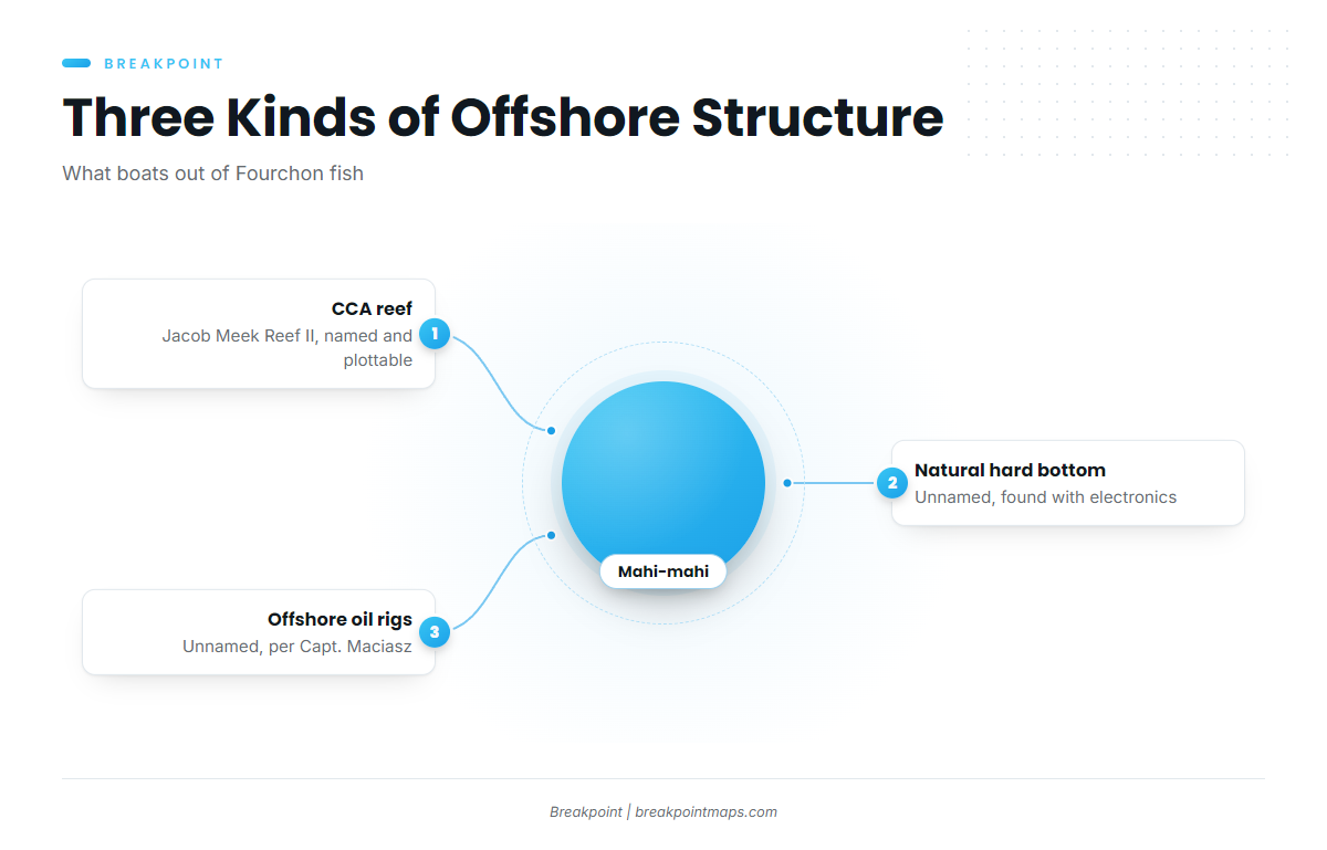
The reef is the one fixed waypoint, so start there and work toward the other structure. The hard bottom and the rigs have to be located on the day.
Jacob Meek Reef II
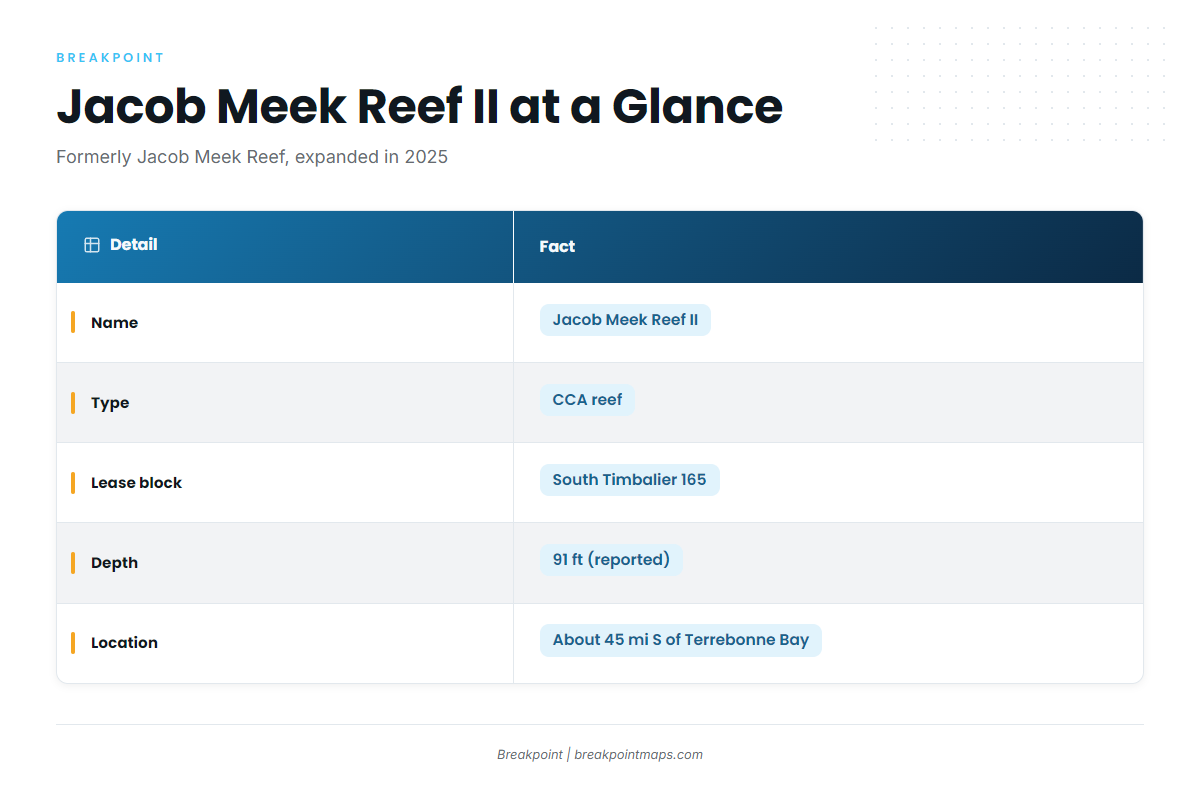
Jacob Meek Reef II sits in 91 ft of water, about 45 miles south of Terrebonne Bay, in South Timbalier 165. On this coast, lease block names are how structure gets located.
- Name: Jacob Meek Reef II (formerly Jacob Meek Reef)
- Type: CCA reef, expanded and renamed, reported in January 2025
- Lease block: South Timbalier 165
- Depth: 91 ft
- Location: about 45 miles south of Terrebonne Bay
The 91 ft depth is a reported figure, so check your own sounder on arrival. Plot South Timbalier 165 on Chart Contours before the run. Chart layers are not for navigation.
Natural hard bottom
Boats out of Fourchon also fish unnamed natural hard bottom, found with electronics. It shows on the sounder, not on the chart.
Offshore rigs
Per Capt. Maciasz, unnamed offshore oil rigs in the Fourchon area hold fish. No depth is published, so read each rig on the electronics when you arrive.
How it is fished locally
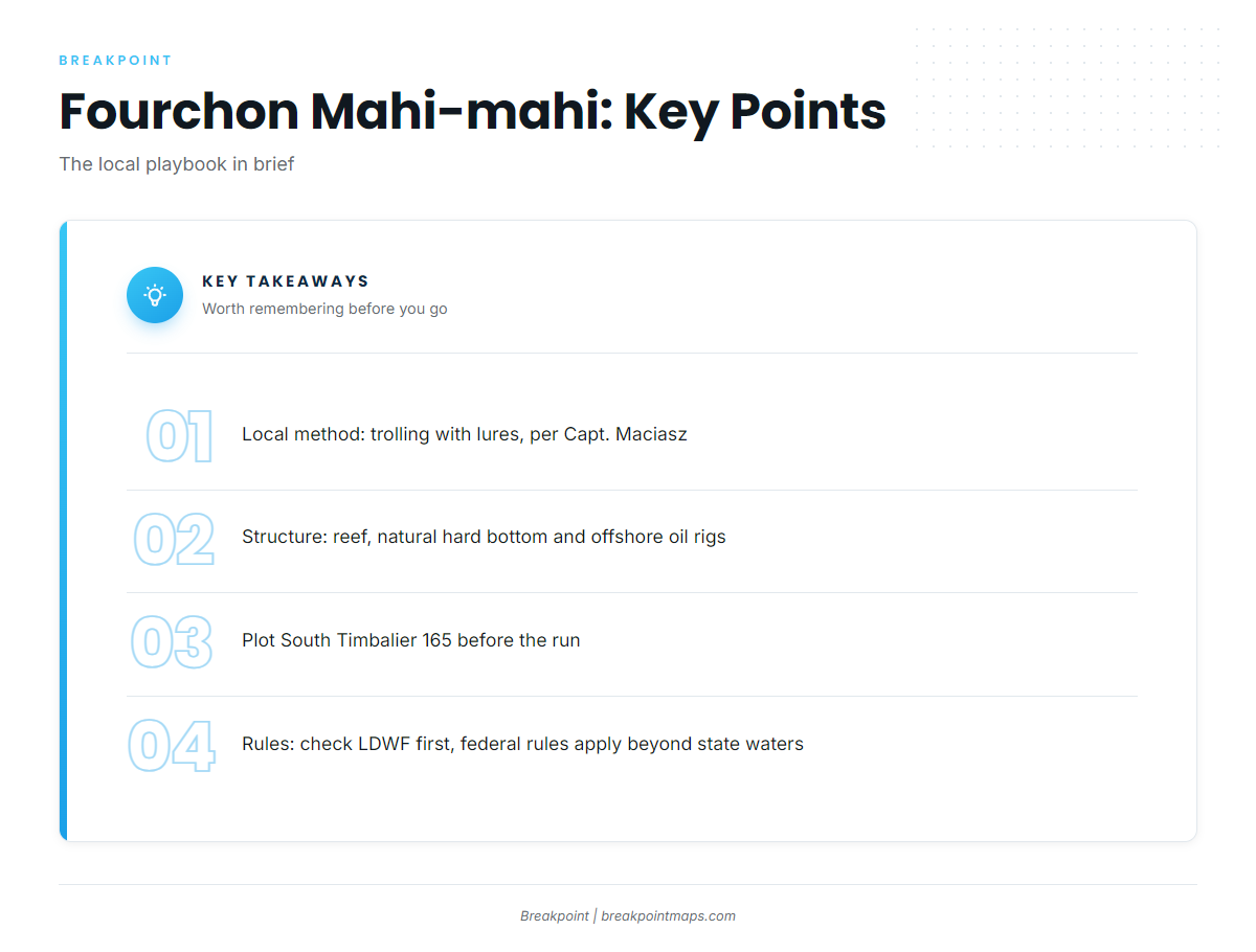
Locally, mahi-mahi are caught trolling with lures, per Capt. Maciasz. Boats run lures past the reef, the hard bottom and the rigs, covering water in between.
The coastal and offshore gamefish guides go further on trolling than this page does.
FAQ about mahi-mahi fishing out of Port Fourchon
How far is Jacob Meek Reef II?
About 45 miles south of Terrebonne Bay, in South Timbalier 165. Plot the lease block before the run so you have a fixed waypoint to head for.
What depth is Jacob Meek Reef II?
91 ft. It is a CCA reef, expanded and renamed Jacob Meek Reef II in a January 2025 report. Treat 91 ft as a reported figure and confirm it on your sounder when you arrive.
How do locals fish for mahi-mahi here?
They troll lures, per Capt. Maciasz, working around the reef, the natural hard bottom and the offshore oil rigs near Fourchon and covering water between structure.
Who runs mahi-mahi charters from Fourchon?
Down The Bayou Charters, run by Capt. Joey Maciasz out of Fourchon, La., lists mahi-mahi. The captain trolls for them out of the port.
Where are the rules for fishing from Port Fourchon?
LDWF sets them. See the regulations section above and check before fishing. For launch and conditions detail, the Port Fourchon port page covers the port.