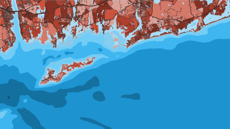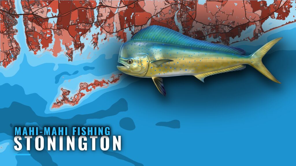
Mahi-mahi fishing out of Stonington means a run from Stonington Harbor to the open water south of Block Island and Montauk. The inshore marks are familiar to local anglers, and this page shows how they relate to the offshore run, who runs the trips, and where the rules live. For the harbor, ramps and approaches, see the Stonington port page.
When mahi-mahi are around Stonington
Timing follows the offshore trip schedule rather than a fixed calendar.
How trips are scheduled
Double Trouble Sportfishing schedules its trips by season. For the regional seasonal picture, read the Atlantic Northeast mahi guide (see also the wider Atlantic Northeast guide). For biology and water temperature, use the mahi-mahi species guide.
Where Stonington boats run for mahi-mahi
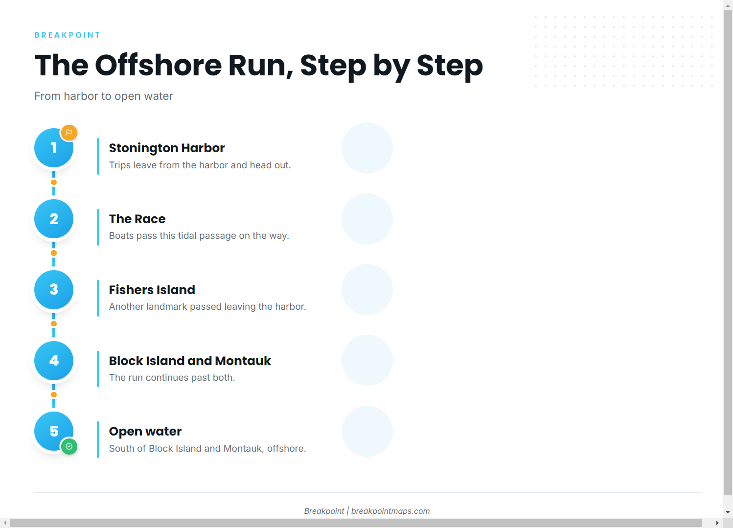
The run goes from the harbor, past familiar water, to open ocean.
Leaving the harbor
Boats leaving Stonington Harbor pass The Race and Fishers Island on the way out. For the approaches through Fishers Island Sound and Block Island Sound, read NOAA Coast Pilot 2, Chapter 7.
Open water south of Block Island and Montauk
Double Trouble runs its offshore trips here, in open water well past the inshore marks.
Reading conditions
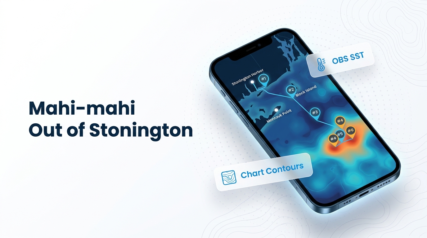
Check the National Weather Service marine forecast for wind, wave height and period before committing to the run. OBS SST and Chart Contours show the water between Block Island and the shelf. Chart layers are not for navigation.
Grounds and structure near Stonington
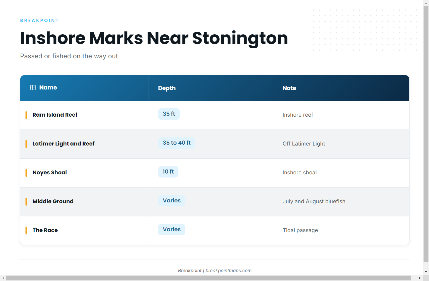
These are the inshore marks boats pass or fish on the way out. They are not mahi grounds.
| Name | Depth | Note |
|---|---|---|
| Watch Hill Reef | Reef complex; within an hour’s run of Stonington per Lauren B Charters | |
| Sugar Reef | Within reach of Stonington Marina slips | |
| Ram Island Reef | 35 ft | |
| Latimer Light and Latimer Reef | 35 to 40 ft | Area off Latimer Light |
| Noyes Shoal | 10 ft | |
| Middle Ground | July and August bluefish ground | |
| The Race | Tidal passage near Stonington Harbor | |
| Fishers Island, south side | Isabella Beach area |
Reefs and shoals
Watch Hill Reef is a reef complex, and Lauren B Charters puts it within an hour’s run of Stonington. Stonington Marina names Sugar Reef as within reach of its slips. Ram Island Reef sits in 35 ft, and the Latimer Light and Latimer Reef area runs 35 to 40 ft off the light. Noyes Shoal sits in 10 ft.
Middle Ground
Middle Ground is a July and August bluefish ground.
The Race
The Race is a tidal passage near Stonington Harbor.
Fishers Island south side (Isabella Beach area)
This is the south side of Fishers Island, in the Isabella Beach area.
Who fishes for mahi-mahi from Stonington
Double Trouble Sportfishing is the local charter that lists mahi-mahi.
Double Trouble Sportfishing
Double Trouble Sportfishing runs a 2004 32 ft Topaz, "Double Down," licensed for 6 passengers. It runs offshore trips south of Montauk and Block Island and lists mahi-mahi.
How mahi are fished
For tackle and methods, see the mahi-mahi fishing guide. The same offshore run puts you in range of other pelagics, covered in the other offshore gamefish guides.
FAQ: mahi-mahi fishing out of Stonington
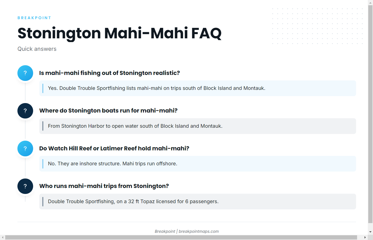
Is mahi-mahi fishing out of Stonington realistic?
Yes. Double Trouble Sportfishing lists mahi-mahi. Its trips run to open water south of Block Island and Montauk and are scheduled by season.
Where do Stonington boats run for mahi-mahi?
Out of Stonington Harbor to the open water south of Block Island and Montauk.
Do Watch Hill Reef or Latimer Reef hold mahi-mahi?
Both are inshore structure, and Latimer runs 35 to 40 ft off the light. Mahi trips run offshore.
Who runs mahi-mahi trips from Stonington?
Double Trouble Sportfishing, on a 2004 32 ft Topaz, "Double Down," licensed for 6 passengers.
Where are the rules for a Stonington mahi trip?
Connecticut DEEP’s rules and the federal dolphin rules both apply, because the run leaves state waters. See the Regulations section above.