



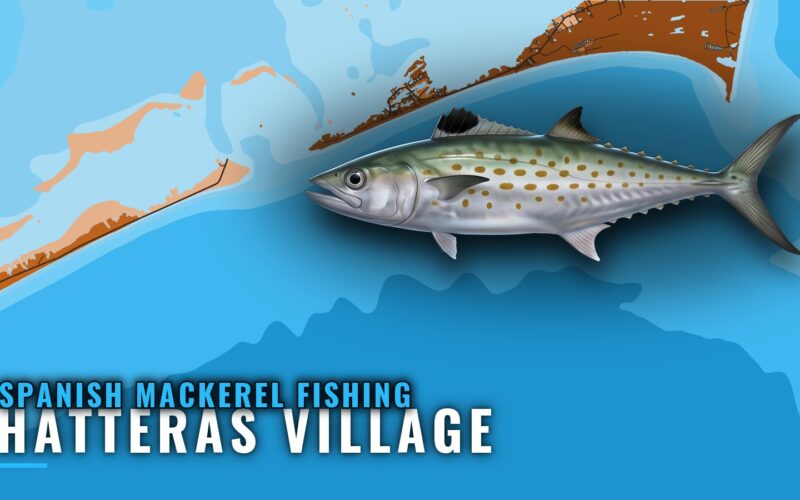
Spanish Mackerel Fishing Out of Hatteras Village
When Spanish mackerel show up at Hatteras, where boats troll the beach and inlet mouth, and which nearby grounds and local charters matter. Port-level facts for anglers running their own boat.
 By Breakpoint Team
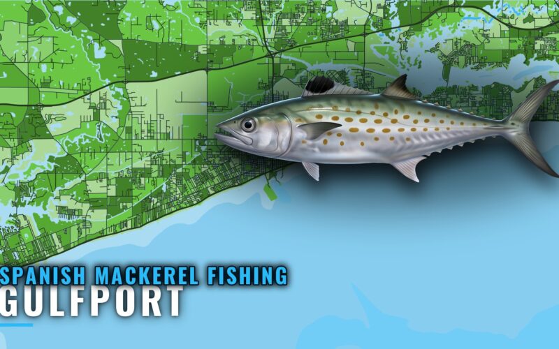
Spanish mackerel fishing out of Gulfport: runs and reefs
Cat Island sits about 8 miles out, MDMR's concrete rubble reefs lie north of the barrier islands, and two local charters list Spanish mackerel in October. This covers the runs, the structure and the data gaps to plan around.
By Breakpoint Team
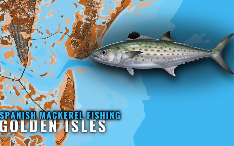
Spanish Mackerel Fishing out of Golden Isles: Reefs, Runs
Season windows, running distances and the named Georgia reefs off the Golden Isles, with depths and positions from Reef A out to SFC and the Golden Ray section. Includes the local operators that list spanish mackerel.
By Breakpoint Team
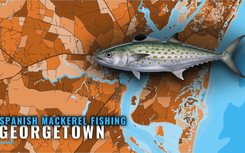
Spanish Mackerel Fishing Out of Georgetown: Where to Look
When Spanish mackerel show up off Winyah Bay, how far boats run and which reefs from 12 to 110 ft to plot. Includes the C J Davidson Jr Reef bearing from channel buoy 2WB.
By Breakpoint Team
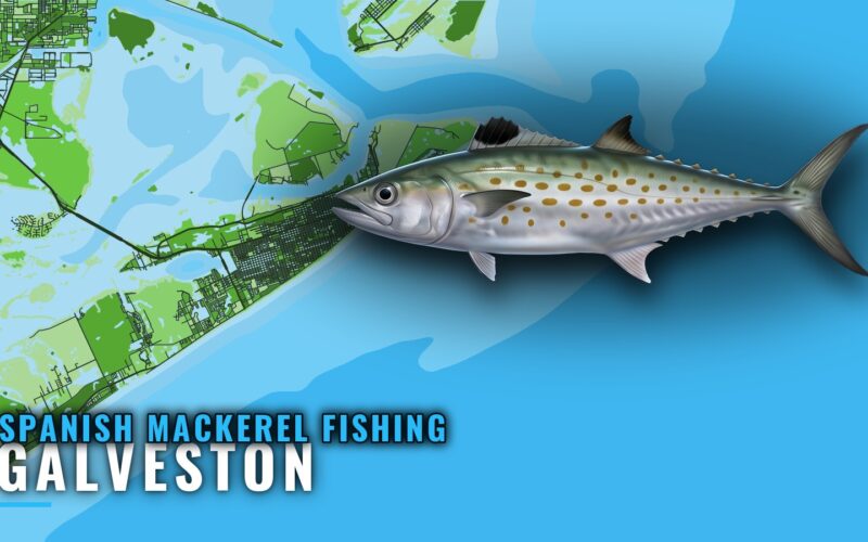
Spanish mackerel fishing out of Galveston: jetties to reefs
Summer mackerel at the Galveston jetties on free-lined live shrimp, plus the nearshore reefs, rigs and run distances half-day boats work. Includes the buoy to read before you clear the rocks.
By Breakpoint Team
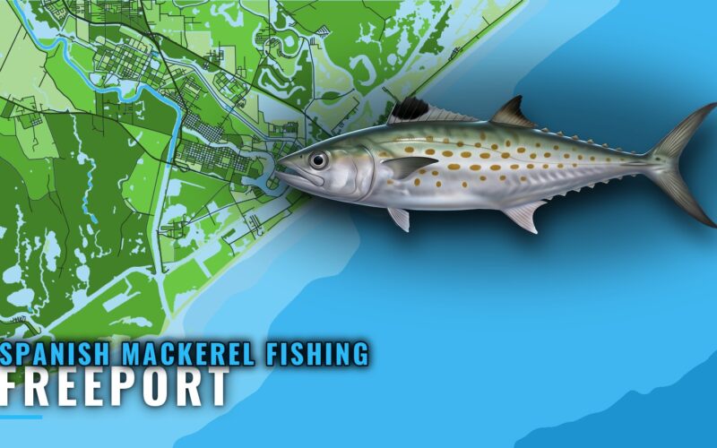
Spanish Mackerel Fishing Out of Freeport: Reefs and Runs
Freeport's Spanish mackerel grounds, ordered by range from the dock: the jetties, BA-336 at 60 ft and 9 nm, the Liberty Ship reef at 100 ft, and the platforms beyond. Also covers who fishes for them and where the rules live.
By Breakpoint Team
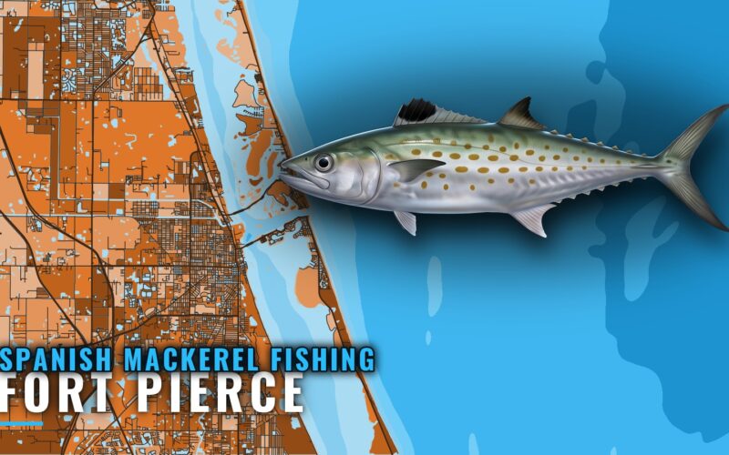
Spanish Mackerel Fishing Out of Fort Pierce: The Grounds
A structure-first map of the water off Fort Pierce Inlet, from Capron Shoal south toward St. Lucie Inlet and out to the USS Muliphen and other SL-series wrecks. Use it to pick which structure to try before you run.
By Breakpoint Team
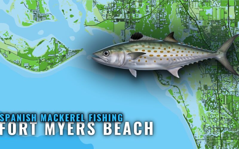
Spanish mackerel fishing out of Fort Myers Beach: 6 reefs
November near the beach, summer offshore, and the positions for 6 named sites from Big Carlos to the USCGC Mohawk. A short, exact reference for anglers running their own boat.
By Breakpoint Team
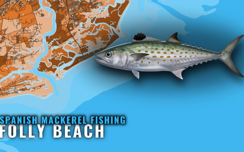
Spanish Mackerel Fishing Out of Folly Beach: Where to Run
Folly Beach reports put Spanish mackerel about a mile off the beach in September. Here is the run from the pier reef out to the Gulf Stream edge, with depths, distances and the charters that list the species.
By Breakpoint Team
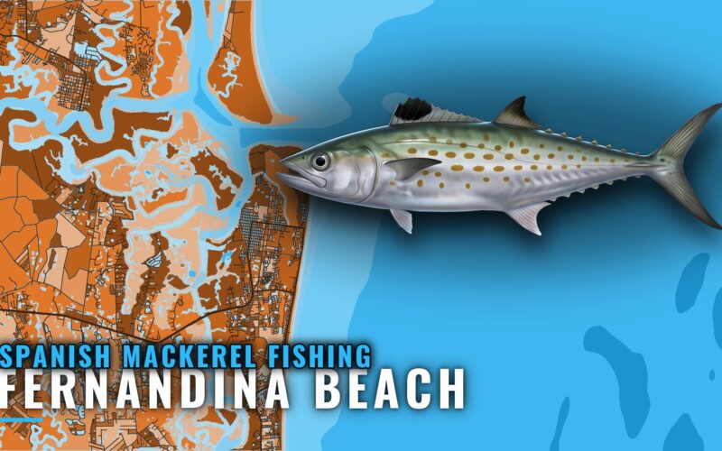
Spanish Mackerel Fishing Out of Fernandina Beach, Mapped
When spanish mackerel show up off Fernandina Beach, how far boats run on the kingfish bait pods, and the 60 to 83 ft reefs and culverts with positions. Includes the local captains who fish them.
By Breakpoint Team