Winter
Offshore
red snapper and reef fish on rigs and reefs
Nearshore
bull reds, sheepshead at the jetties




Texas offshore fishing changes noticeably between Sabine Pass and the Rio Grande. The Gulf of America (Gulf of Mexico) has a wide, shallow shelf and river-stained water on the upper coast. Farther south the water clears and the shelf edge sits closer to the beach. State and federal rules meet at 9 nautical miles. This page covers how the water changes, which port fits your trip, what runs when and whose rules apply. The same approach covers our other US coasts.
 By Breakpoint Team
The coast
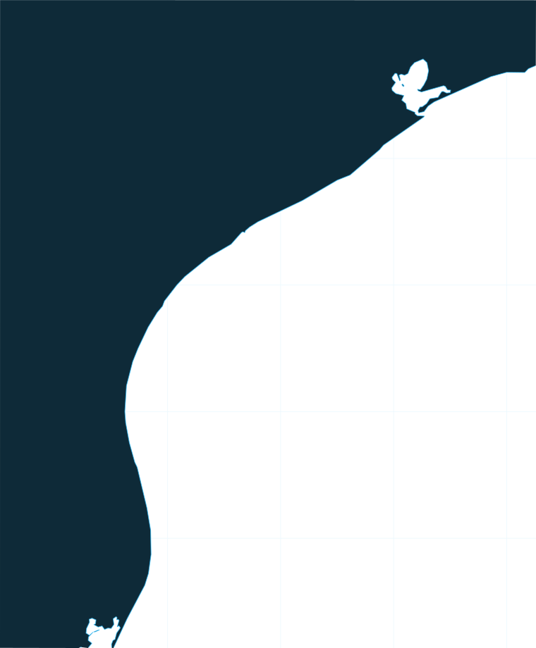
The coast fishes as one continuous gradient from north to south. The water clears, the shelf narrows and bluewater moves closer to the beach with each stretch. Where you leave from decides what kind of day you plan for.
The upper coast sits on a wide, shallow shelf with turbid, river-influenced water. The run to bluewater is long, so offshore fishing here leans on rigs and reefs.
The middle coast is the transition stretch. Rig density is high off Port O’Connor, and deep structure comes within reach.
The lower coast has the clearest water. The shelf edge sits closest to the beach, which puts bluewater pelagics in range of the southern ports.
Four types of structure shape most offshore trips:
The wider Gulf shapes where blue water reaches Texas. Our Gulf of America (Gulf of Mexico) fishing guide covers the Loop Current influence and shelf geography behind it.
On the upper coast, the clean blue water edge is the target. OBS SST shows temperature breaks. Chlorophyll separates green water from blue. Chart Contours shows where the shelf break sits relative to each port.
Each layer has limits:
Open the Texas coast in Chart Contours to see how far each port’s inlet sits from the shelf break, and check OBS SST and Chlorophyll for where blue water sits before you commit to a long run.
Ports
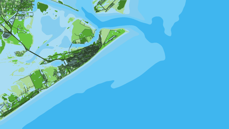
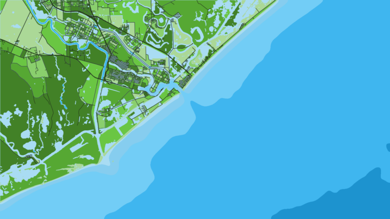
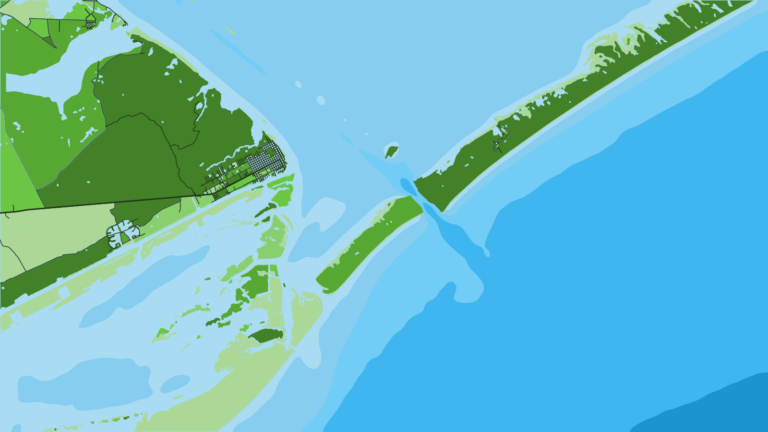
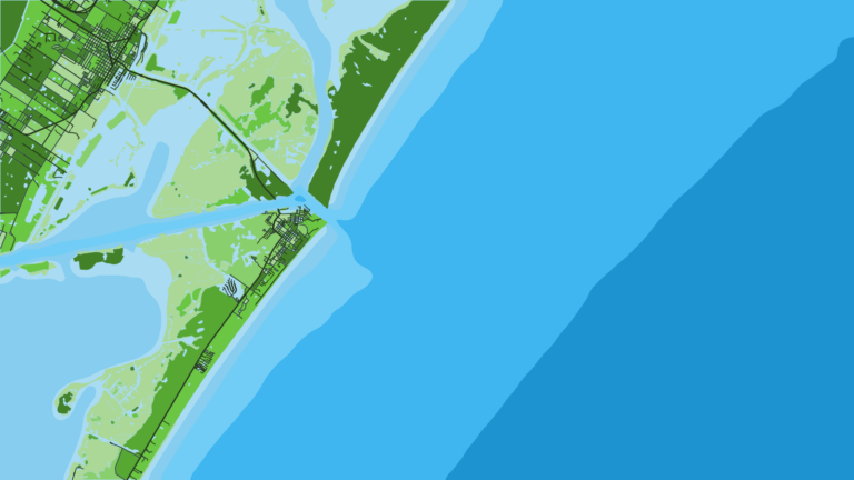
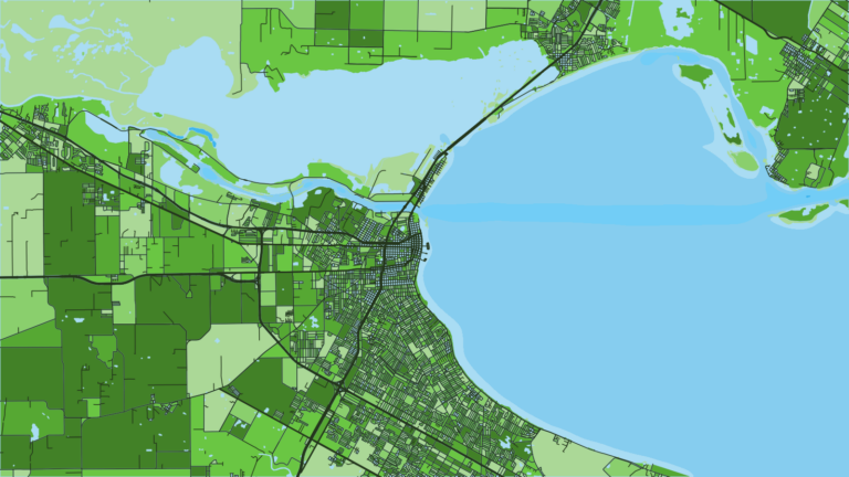
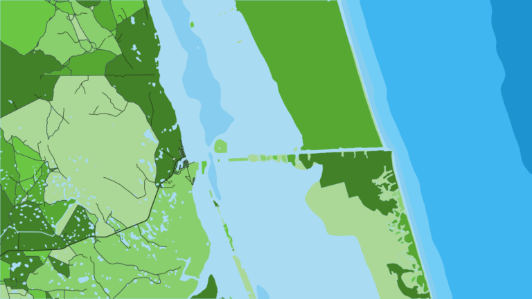
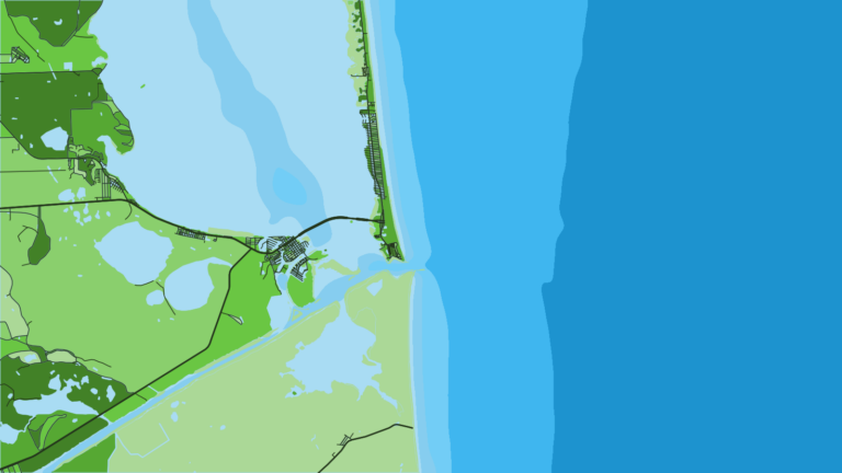
Each stretch below runs from one end of its water type to the next. The ports that host charters, party boats and tournaments appear in the lists. Tap a number on the map, or a stretch below, to zoom in on its ports.
2 ports
From Sabine Pass to Freeport, a wide shelf and stained water put the offshore emphasis on rigs and reefs.
3 ports
From Matagorda to Corpus Christi and Rockport, rigs get denser and deep structure comes closer.
2 ports
Below the Laguna Madre, the water clears and the shelf edge sits closest to the beach, through to Port Isabel and the Rio Grande.
Seasons
What tends to be around each season. Open seasons are covered under Regulations.
Offshore
red snapper and reef fish on rigs and reefs
Nearshore
bull reds, sheepshead at the jetties
Offshore
kingfish and ling arriving
Nearshore
Spanish mackerel
Offshore
blue and white marlin, sailfish, yellowfin tuna, wahoo, dolphin
Nearshore
kingfish, ling, blacktip sharks, tarpon
Offshore
wahoo, tuna, amberjack
Nearshore
bull red run, tarpon
Offshore means rigs, reefs and the shelf edge. Nearshore means jetties, the beachfront and the near rigs.
Several reef fish have federal closures, so check the regulations below before planning around a species. Winter fronts cut into fishable days, and the cloud behind them blocks SST passes.
Temperature breaks and color edges shift with wind and current. In Breakpoint, these three layers show those edges and the bottom structure near them.
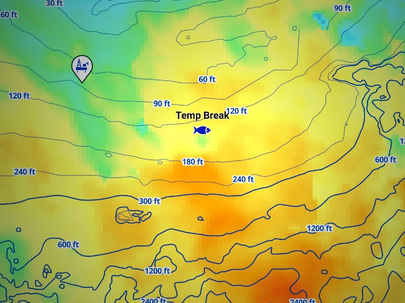
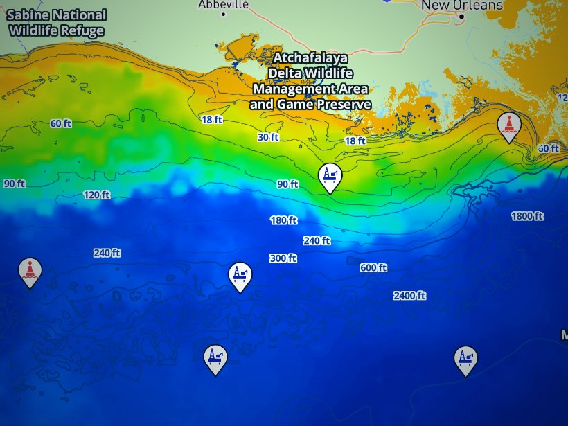
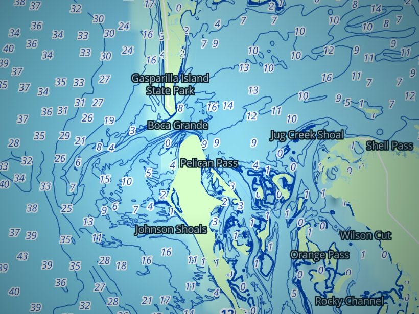
Clouds block satellite SST passes, so some days show gaps. Chart layers are not for navigation.
Charters and tournaments
Regulations
Texas state waters run from the coast to 9 nautical miles and are managed by Texas Parks and Wildlife Department (TPWD). Federal waters run from 9 to 200 nautical miles and are managed by the Gulf of America (Gulf of Mexico) Fishery Management Council and NOAA Fisheries. The Gulf Council federal fishing regulations cover the federal side.
Texas limits apply to any fish possessed in state waters or landed in Texas, wherever it was caught. Fish landed in Texas must also meet the federal limits that applied where they were taken. In practice, the stricter rule governs.
Which rules you follow depends on how you fish:
Red snapper shows the split well. In state waters it is open year-round, with a 4-fish bag per person per day and a 15-inch minimum. In federal waters, TPWD sets the private season under its agreement with NOAA Fisheries, and the season closes when harvest is projected to reach the Texas limit. Check the TPWD red snapper rules for the open dates.
Gear rules apply to all reef fish:
Tunas, billfish and swordfish are federal Highly Migratory Species. Permits run through the NOAA HMS permit system. Texas adds its own minimum lengths for marlin and sailfish, which are on the regulations page below.
Greater amberjack, gray triggerfish and gag close by season and by quota. NOAA Fisheries announces the closures, so check it before you plan a trip around any of them.
Full size, bag and season detail is on our Texas regulations page. Check TPWD and NOAA Fisheries before every trip.
FAQ
Official answers come from the state wildlife agency and NOAA Fisheries. Check them before you go.
Yes. Per TPWD, anyone 17 or older needs a Texas fishing license with a saltwater endorsement. That includes landing fish from federal waters in Texas. A Texas charter does not include your license, so buy a Texas fishing license before you go.
Texas state waters end at 9 nautical miles, under TPWD. From 9 to 200 nautical miles the Gulf Council and NOAA Fisheries manage federal waters. Seasons, bag limits and size limits can change at that line.
The lower coast. South Padre Island and Port Mansfield sit closest to the shelf edge, and the upper coast has the longest run. Compare each inlet against the shelf break in Chart Contours. Chart layers are not for navigation.
Port Aransas hosts the Texas Legends Billfish Tournament, the Deep Sea Roundup and the Billfish Pachanga. Port O’Connor hosts the Lone Star Shootout. Port Isabel and South Padre Island host the Texas International Fishing Tournament. Check each organizer for the schedule.
The Flower Garden Banks is a national marine sanctuary off the upper coast, near the shelf edge, with its own fishing rules. Check NOAA’s sanctuary page for the current rules before you plan a trip there.
Summer brings blue and white marlin, sailfish, yellowfin tuna, wahoo and dolphin. Fall adds wahoo, tuna and amberjack. Winter centers on red snapper and reef fish on rigs. The season table above lays out each window, and federal closures apply to several reef fish.
Read the National Weather Service marine forecast for wind speed and direction, wave height and wave period. Cross-check against offshore buoys. The forecast is a forecast, so make your own call on the numbers.
Ranked hotspots, live ocean layers and offline maps.
Open Breakpoint