
About Channel Islands Harbor
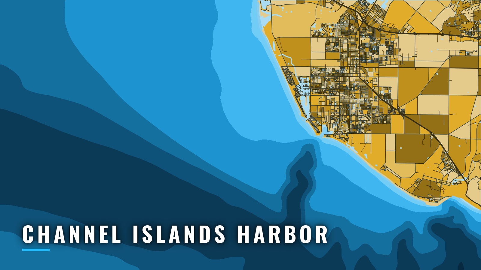
Channel Islands Harbor is a Ventura County small-craft harbor in Oxnard, about 1 mile northwest of Port Hueneme, opening on the Santa Barbara Channel. The Northern Channel Islands are the main grounds, and Anacapa, Santa Cruz and Santa Rosa are the islands most anglers know first. Rockfish run in winter and spring, white seabass show up across the year, and California yellowtail run from winter through summer. That mix is a guide to where to look, not a promise of what bites. For the wider coast, see our Pacific Southwest fishing guide. Rockfish depth limits, seasons and MPA closures change, so see our California page and check CDFW before fishing.
Access and navigation at Channel Islands Harbor
Plan the launch, the fuel stop, the entrance and the trip home before you leave. The list below covers the public ramp and the marinas inside the harbor.
Ramps and marinas
- Channel Islands Harbor public boat launch ramp – 3001 Victoria Ave, enter at Victoria Ave and Curlew Way, pay station beside the ramp.
- Channel Islands Harbor fuel dock – fuel.
- Channel Islands Harbor Marina – marina in the harbor.
- Vintage Marina – marina in the harbor.
- Peninsula Yacht Marina – marina in the harbor.
- Safe Harbor Anacapa Isle – marina in the harbor.
- Bahia Marina – marina in the harbor.
- Seaside Boatyard & Marina – boatyard and marina.
- Pacific Corinthian Marina & Yacht Club – marina and yacht club.
Pay at the pay station beside the ramp and display the receipt face up on the dash.
Entrance and approaches
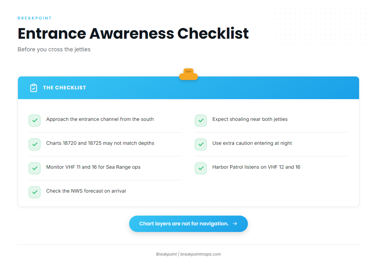
The entrance is a gap between 2 jetties, with a detached offshore breakwater in front. That layout comes from the NOAA Coast Pilot 7 guidance for this stretch of coast. Conditions to know about:
- Shoaling. The area southeast of the entrance channel and the area northwest of the north jetty are described as subject to "rapid and uncertain" shoaling. Charted depths on NOAA charts 18720 and 18725 might not match what is actually there.
- Approach. The Coast Pilot advises approaching the entrance channel from the south. Because the northwest side tends to shoal, the south approach is the alternative when the northwest side looks questionable.
- Night entries. The Coast Pilot and the Harbor Department both advise caution at night. On a first visit, you may prefer not to enter after dark.
- Lights and signals. All breakwater ends and both jetties are lit. A fog signal sits at the seaward end of the south jetty, and the radio-activated sound signal at the south jetty light answers 5 keyings on VHF 81A.
- Fog. Sea fog can show up from July through October between Point Hueneme and Santa Barbara. Visibility can drop under 0.5 mile on about 5 to 10 days a month, and August and September tend to be the worst.
- Point Mugu Sea Range. Hazardous naval operations can run any day of the week. During operations, broadcasts go out about every 30 minutes on VHF 11 and 16, so monitor those channels when you cross.
- Harbor Patrol. It monitors VHF 12 (non-emergency) and 16 (emergency), 24 hours a day.
On arrival, check the water and the official NWS forecast on the harbor’s Ocean Conditions page. If conditions look rougher than you want, use the alternate approach.
Fishing conditions
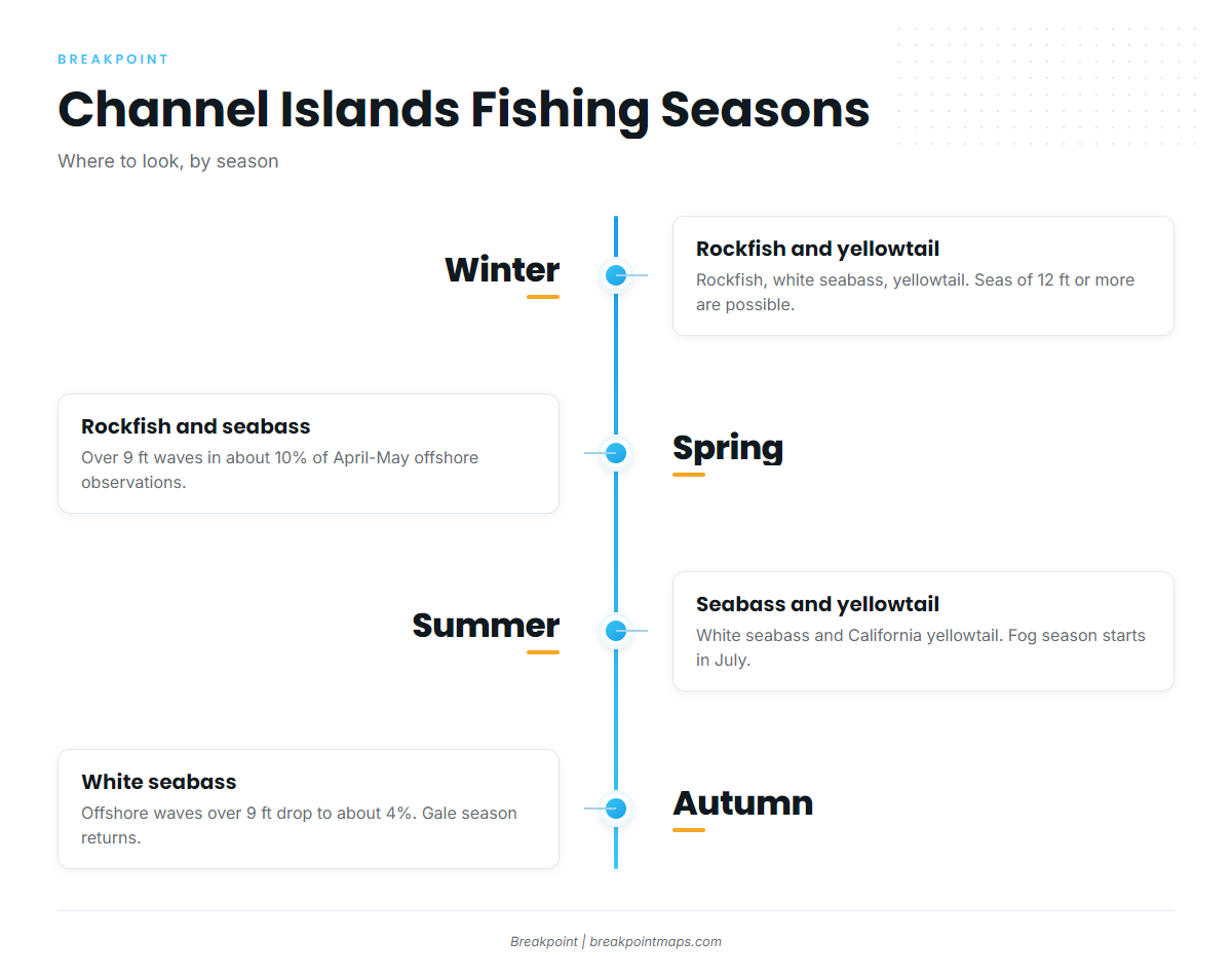
The grounds are the islands. Each of these is a named ground you can plot from the harbor:
- Anacapa Island
- Santa Cruz Island
- Santa Rosa Island
- San Miguel Island
- Santa Barbara Island
- San Nicolas Island
The first 4 are the Northern Channel Islands. Santa Barbara Island and San Nicolas Island lie farther south.
Marine protected area closures shape the island grounds, so check CDFW for boundaries before fishing. To choose an island, look for temperature breaks and water color on the OBS SST and Chlorophyll layers. Chart layers are not for navigation.
Winter
Rockfish, white seabass and California yellowtail are the species to expect. Rockfish seasons and depth limits are set by CDFW, so see the regulations note above. Per the Coast Pilot, gales and seas of 12 feet or more occur on this coast from mid-fall through late spring, particularly in the Santa Barbara Channel. Read the wind and wave numbers on the official forecast before you leave the dock.
Spring
Rockfish, white seabass and California yellowtail carry over from winter. Rockfish rules still sit with CDFW, so see the regulations note above. The Coast Pilot’s offshore table shows waves over 9 feet in about 10% of April and May observations. That table covers a broad box between 34N and 36N and 119W and 125W, not the harbor bar, so treat it as a seasonal marker and use the daily forecast for the day itself.
Summer
White seabass and California yellowtail lead the list. For more on yellowtail, see our guide to California yellowtail at the Channel Islands. Fog season starts in July, so keep the navigation notes above in mind for the run home.
Autumn
White seabass are the species to plan around. The offshore-box wave figure falls to about 4% over 9 feet in August through October, but the gale season returns from mid-fall. The fog window runs through October.
Other California port guides: Ventura · Santa Barbara · Marina del Rey