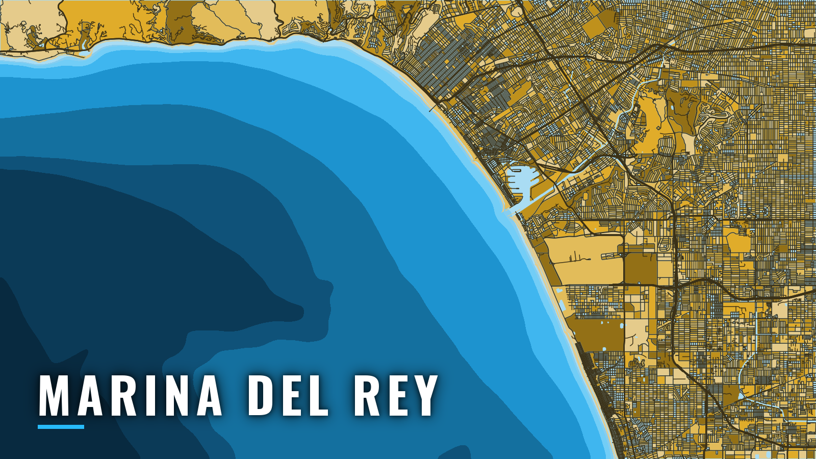

About Marina del Rey
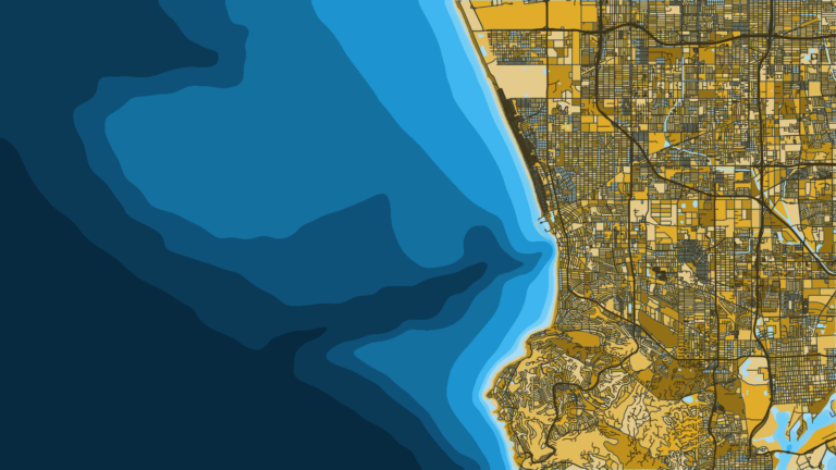
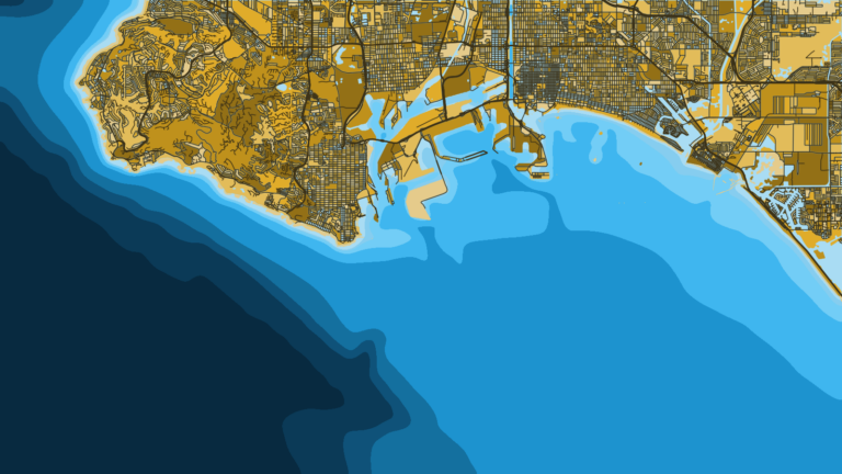
Marina del Rey is a Los Angeles County small-craft harbor on Santa Monica Bay, entered through a dredged channel behind a detached breakwater. The bay runs from Point Dume in the north to the Palos Verdes headlands in the south, with inshore reefs and offshore canyon edges within reach of a trailer boat or slip boat. The fishery runs all year, and anglers work calico bass, California halibut, white seabass, yellowtail, bluefin tuna and rockfish. Species detail and size rules for Southern California waters are in the state guides.
Access and navigation
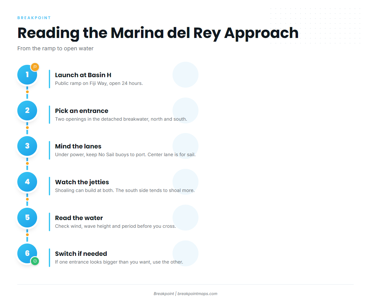
Marina del Rey has one public launch ramp, a hand-launch ramp and a live bait dock:
- Marina del Rey Public Launch Ramp (Basin H) – 13477 Fiji Way, open 24 hours, $15 per 24 hours with a trailer and $10 per 24 hours for a vehicle only. Trailers stay attached to a tow vehicle.
- Marina "Mother’s" Beach dinghy launch ramp – hand-launch craft only.
- Marina del Rey Sportfishing landing – Dock 52 on Fiji Way, home of the Mona Lisa live bait dock.
A detached breakwater runs parallel to shore just seaward of the entrance jetties, leaving two openings: a north entrance and a south entrance. The dredged entrance channel runs northeast about 0.7 mile from the breakwater, and the harbor channel then runs north about 0.6 mile. A restricted area governs navigation inside the detached breakwater. The U.S. Coast Pilot 7 description covers the layout in full.
"No Sail" regulatory buoys mark the traffic lanes through the channel. Under power, keep the No Sail buoys to port entering or leaving. The center lane is reserved for boats under sail alone, in both directions.
Shoaling can build at both jetties, and the county places shoal buoys to mark it. The south entrance tends to shoal more, with shallow spots just inside, and many boaters favor the north opening. Very low winter tides can thin shoaled areas, so check the tide tables before crossing them. For entrance conditions, call the Marina del Rey Sheriff’s Station on VHF 16 or at (310) 482-6000.
Fog tends to sit along this coast south of Santa Monica in fall and winter. The north jetty foghorn comes on when you click 5 times on VHF 81A, and it runs for 30 minutes. Underwater installations out to 9 fathoms (about 54 feet) between the harbor and the Redondo shoreline can be a hazard under certain tidal conditions. Coverage of the Los Angeles–Long Beach harbor traffic area extends over Santa Monica Bay.
On arrival, look at the water first. Then read the NWS forecast for PZZ655 and the Santa Monica Bay buoy 46221 for wind, wave height and period. If one entrance looks bigger than you want, use the other.
Fishing conditions
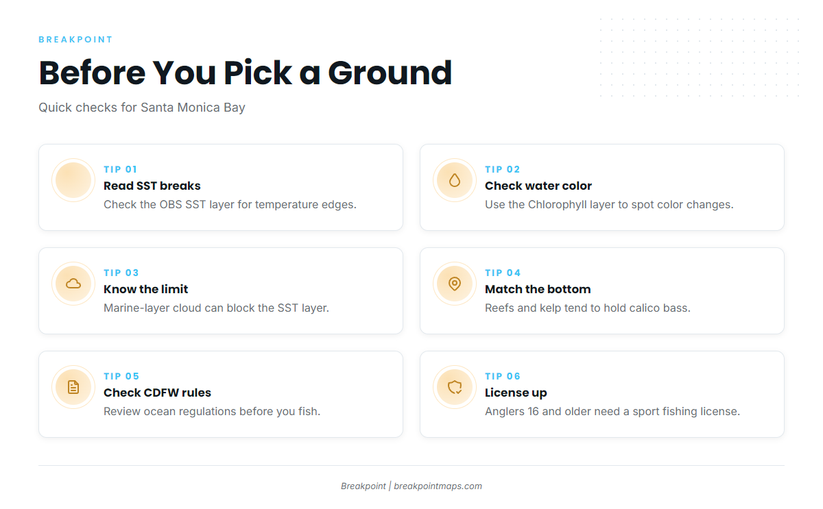
The bay fishes over reefs, kelp, banks and canyon edges. Named grounds include Horseshoe Kelp, Topanga Artificial Reef, Malibu Artificial Reef, Short Bank, South Bank, Volcanic Reef and the Santa Monica Canyon edge. Redondo Canyon marks the southern deep edge of the bay. Reefs and kelp tend to hold calico bass, sand holds halibut, and canyon edges tend to hold rockfish. Warm water arrives in a pattern, and how warm water moves through the Pacific Southwest shapes when the pelagics show.
The California Department of Fish and Wildlife (CDFW) sets the ocean rules. Check the CDFW ocean sport fishing regulations before fishing, and find state regulations and species guides for the rest. Anglers 16 and older need a California sport fishing license, and south of Point Arguello they also need the Ocean Enhancement Validation, per CDFW. Take rules vary inside marine protected areas, so check the CDFW marine protected areas map.
Before you pick a ground, check our OBS SST and Chlorophyll layers for temperature breaks and color changes. Marine-layer cloud can block the SST layer, which tends to matter in the fog months. Chart layers are not for navigation.
Winter
Fog tends to persist south of Santa Monica, so keep the foghorn and VHF tools in mind. Rockfish are the winter anchor. Groundfish depth and season rules change during the year, so check the CDFW in-season regulation changes before you go.
Spring
California halibut work the sandy bottom. White seabass can show in the bay too, though nothing here promises them.
Summer
Sport fishing barges usually anchor 1 to 2 miles offshore, so give them room. Warm-water arrivals such as yellowtail and bluefin tuna tend to follow sea surface temperature, which makes the SST layer worth a look. Finescale triggerfish appear in summer.
Autumn
Fog returns. As the water cools, the bite tends to shift inshore toward the reefs and kelp.