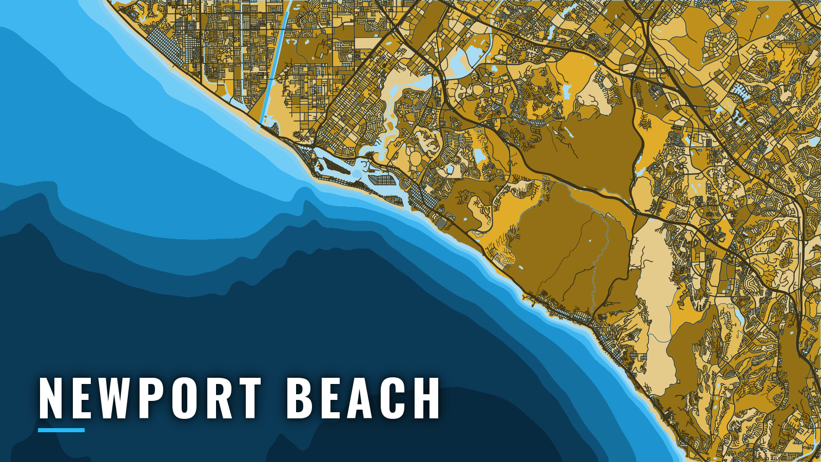

About Newport Beach
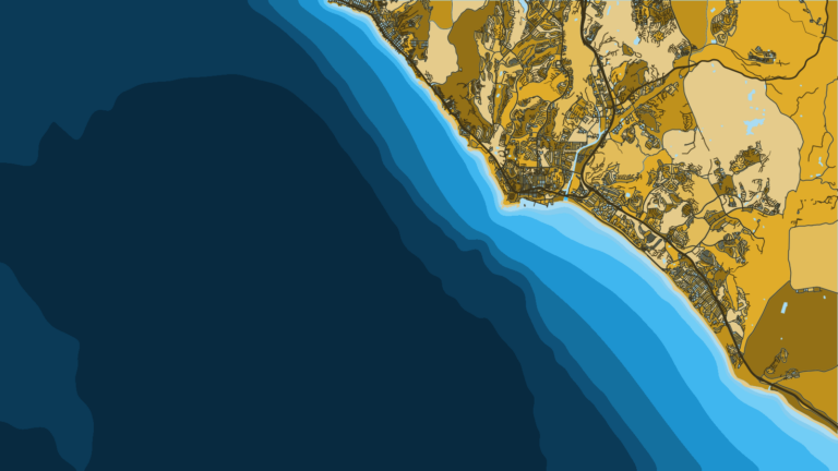
Newport Harbor sits behind a 3-mile sandspit on the California coast, entered between two lighted jetties that open onto the Gulf of Santa Catalina. Boats fish coastal reefs and kelp, then Catalina Island and the offshore banks. Sand bass, calico bass, halibut and white seabass hold the year-round base. Yellowtail arrive in spring, bluefin tuna and albacore join in summer, and yellowtail and bluefin carry into autumn. This guide covers how to get out and back, and what the water offers by season.
Access and navigation in Newport Harbor
The harbor has one public launch ramp, plus city and private moorage:
- Newport Dunes Launch Ramp – the only public launch ramp in Newport Harbor, on the Back Bay side of the Dunes resort.
- Newport Dunes Waterfront Resort & Marina – slips and marina services at the same property.
- Balboa Yacht Basin – city-run marina.
- Marina Park guest slips – city guest slips for visiting boats, bookable in advance.
- City guest moorings – city moorings. On arrival, check in with the Harbor Department with vessel documentation or registration, proof of insurance and photo ID.
- Newport Landing Fuel Dock – fuel.
Transit through the harbor
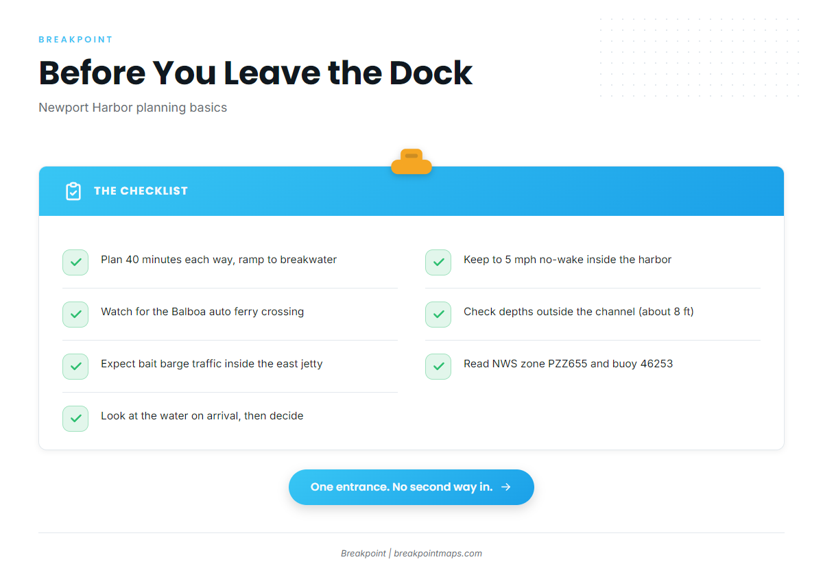
A 5 mph no-wake limit starts at the entrance and applies throughout the harbor, per the City of Newport Beach visiting vessels page. The harbormaster’s office is about 2 3/4 miles from the entrance. OC Sheriff Harbor Patrol puts the run from the ramp to the breakwater at about 40 minutes each way, so plan your daylight around it.
The main channel crosses the Balboa auto ferry route, where up to 3 ferries can run in peak periods. The channel center is about 20 feet deep. Controlling depth outside the channel is about 8 feet, depth along Lido Isle can be as little as 9 feet, and the upper bay is very shoal.
The entrance
The west jetty is lit flashing green and the east jetty flashing red. According to NOAA Coast Pilot 7, the channel often carries heavy traffic, and from April through November a bait barge anchors close inside the east jetty, so expect boats stopping and idling there.
South swell can stack up at the mouth and tends to build as it meets the jetties. The Wedge, a surf landmark at the base of the west jetty, can draw surfers and break hard nearby. Give it room.
The Santa Ana is a northeast or east wind that can arrive with great violence for short periods. Its usual path over the Orange County plains reaches the ocean near Newport. Coast Pilot records speeds of 50 knots or more along the coast, and the wind is of little concern beyond 50 miles out.
One way in, one way out
There is one entrance and no second approach. If it looks bigger than you want, you can wait it out, fish inside, or trailer to Dana Point or San Pedro and Long Beach.
On arrival, look at the water at the entrance, then read the official NWS marine forecast zone PZZ655, which covers the inner waters from Point Mugu to San Mateo Point, including Santa Catalina. Check NDBC buoy 46253 for wave height and period. That buoy sits off San Pedro rather than at the Newport jetties, and a forecast is only a forecast. Weigh the wind, wave height and period, then decide.
Fishing conditions off Newport Beach
Water temperature drives when yellowtail and tuna show up, and the seasons below follow it. For how warm water moves through the Southern California Bight, see the Pacific Southwest fishing guide. In Breakpoint, the OBS SST and Chlorophyll layers show where warm, clean water sits relative to the grounds. Chart layers are not for navigation.
The California Department of Fish and Wildlife sets the rules. Check the CDFW ocean sport fishing regulations, including marine protected area boundaries, before fishing.
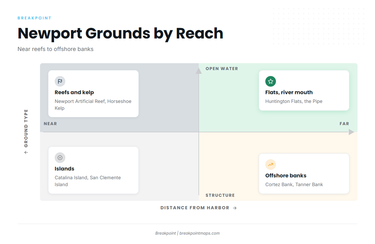
Named grounds, near to far:
- Near: Newport Artificial Reef, the Pipe at the Santa Ana River mouth, Huntington Flats and Horseshoe Kelp.
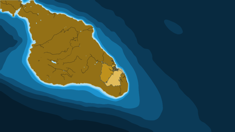
- Far: Catalina Island, San Clemente Island, Cortez Bank and Tanner Bank.
Chart Contours help read the edges and banks.
Winter
Cooler water keeps the focus on reefs, kelp and flats. Winter tends to run sand bass, calico bass, halibut, sheephead and white seabass. Southern Management Area rockfish seasons and depths are set and changed by CDFW, so check the CDFW in-season changes page.
Spring
Warming water brings the first yellowtail and barracuda. Spring tends to run yellowtail, white seabass, barracuda, calico bass, sand bass and halibut. South of Point Conception, white seabass is limited to 1 per person from March 15 through June 15. Species guides carry the detail.
Summer
The warmest water pushes pelagic fish toward Catalina, San Clemente Island and the banks. Summer can bring yellowtail, albacore, bluefin tuna, calico bass, sand bass, barracuda, white seabass and halibut. Tuna tend to follow the warm edge, so what shows up in a given week depends on where that edge sits.
Autumn
Autumn tends to run yellowtail, bluefin tuna, sand bass, barracuda and white seabass. Santa Ana winds can also show up near Newport this time of year, so read the forecast before the run out.