
About Dana Point
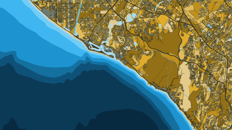
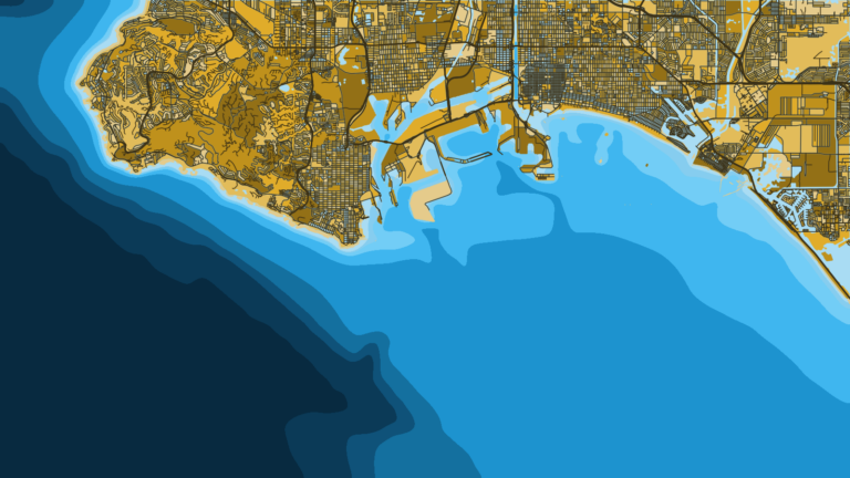
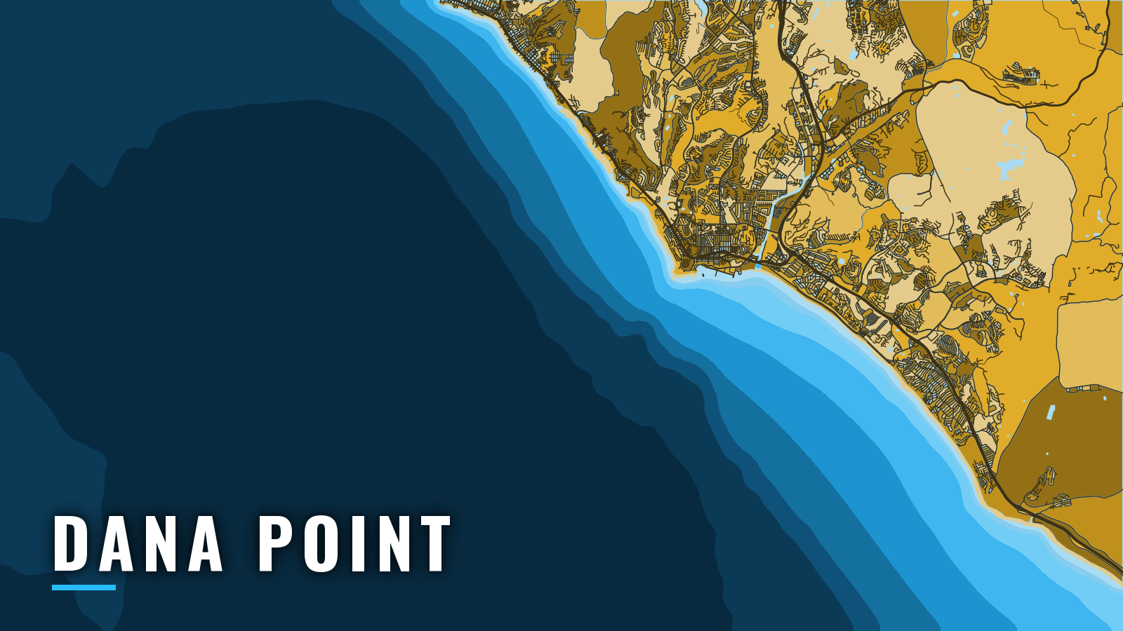
Dana Point Harbor sits in the lee of Dana Point on the Gulf of Santa Catalina. Open water is reached through 1 entrance between 2 breakwaters. From there, California offshore fishing spreads across the Southern California Bight, from nearshore kelp to the banks and islands beyond. Dana Point fishes year-round, and the pelagic peak tends to fall in summer and autumn.
Anglers here target bluefin tuna and yellowtail, along with white seabass, calico bass, rockfish, halibut and dorado. Groundfish seasons and depths can change in-season, and an Ocean Enhancement Validation is needed in these waters, so check the CDFW ocean groundfish regulations before fishing.
Access and Navigation
The run from ramp or slip, through the breakwaters, to the offshore grounds is short, and most of the preparation goes into the entrance.
Launching and Berthing
The public ramp is the Dana Point Harbor launch ramp, operated as Embarcadero at Dana Point. Check the page for hours, fees and parking before you tow.
Visiting boats can use The Marina at Dana Point for guest slips. Availability and reservations are handled there, and busy weekends tend to fill early.
The harbor lists a fuel dock and services. Live bait is typically available in the harbor, but confirm before an early start. Check your fuel range against the grounds you plan to fish before you leave the dock.
Entrance and Approaches
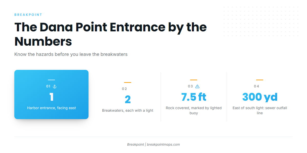
The entrance faces east, between 2 breakwaters, each with a light at the seaward end. NOAA U.S. Coast Pilot 7 lists these hazards near it:
- A rock covered 7.5 feet, marked by a lighted buoy, about 300 yards northeast of the south breakwater light.
- A submerged sewer outfall line about 300 yards east of that light.
- Numerous uncharted private racing buoys reported off the entrance. They are not on the chart.
In the Gulf of Santa Catalina, fog can cut visibility below 0.5 mile on about 4 to 9 days per month from September through February and in May. It is most frequent in September and October, tends to drift out at night and usually clears by late morning. Fog can hide the entrance lights. The fog signal at the south light starts when you key the mic 5 times on VHF-FM channel 81A.
From November through April, west swell can reach 6 feet or more about 2 to 5 percent of the time, and it occasionally tops 9 feet in winter. The harbor sits in the lee of the point.
Santa Ana winds blow from the northeast or east and have reached 50 knots or more along the coast. Beyond forecasts there is little warning, though a dark-brown dust cloud sometimes gives 10 to 30 minutes.
The harbor has only 1 entrance, so there is no second route to switch to. Look at the water there when you arrive. Read the NWS coastal waters forecast zones for PZZ740 and PZZ745, and the NDBC 46224 Oceanside Offshore buoy for wave height and period. The harbor weather and tides page is also worth a look. If the water looks bigger than you want, hold in the harbor or shorten the run, whatever the forecast says.
Fishing Conditions
Four named grounds anchor the picture from Dana Point:
- The Salt Creek kelp bed, nearshore.
- 14 Mile Bank, offshore.
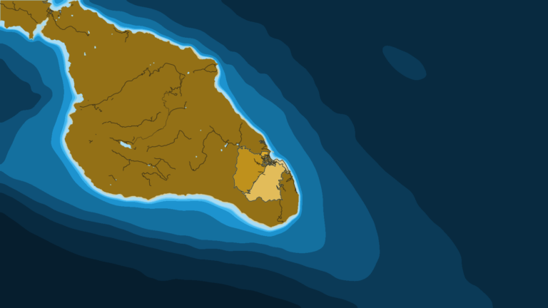
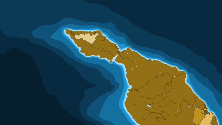
- Santa Catalina Island, with Ship Rock and Bird Rock.
- San Clemente Island, with The Head.
Sea surface temperature breaks tend to concentrate bait and pelagics. Their position shifts year to year, so warm-water species can show early, late or not at all.
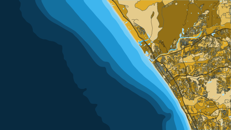
In the app, OBS SST, Chlorophyll and Chart Contours show where temperature breaks and structure line up off 14 Mile Bank. Chart layers are not for navigation.
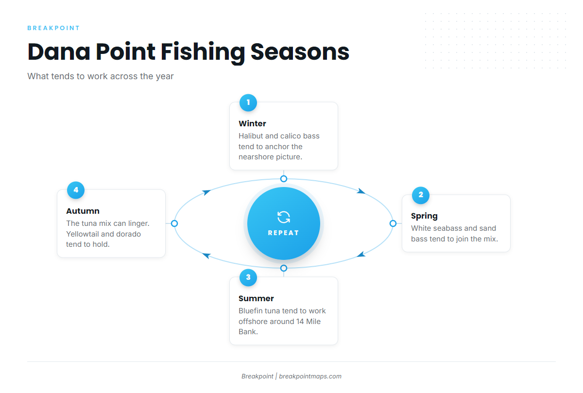
Winter
Halibut, calico bass and sculpin tend to anchor the nearshore fishing, and calico bass hold at the Salt Creek kelp bed. White seabass and rock cod can also show. For rockfish, check CDFW for the current groundfish season. West swell tends to be most frequent in this period, as covered in the navigation section.
Spring
White seabass, halibut, calico bass, sheephead, lingcod, sand bass and barracuda tend to come into the mix. Only 1 white seabass may be taken south of Point Conception from March 15 through June 15. Yellowtail start showing at the islands and the kelp.
Summer
Bluefin tuna tend to work the offshore water around 14 Mile Bank, as part of the regional bluefin run. In warm-water years, yellowfin tuna may push in, along with dorado, which are mahi-mahi. Yellowtail, bonito and barracuda tend to work the islands and the kelp. Calico bass and sand bass stay nearshore.
Autumn
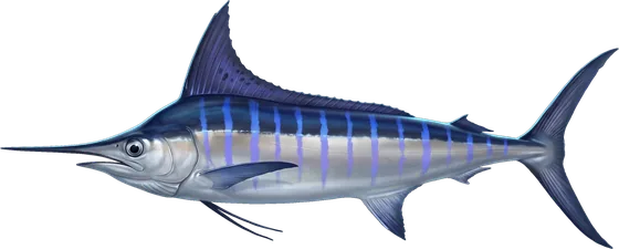
The offshore tuna mix can linger, with albacore in the picture. Yellowtail, dorado, bonito and calico bass tend to hold while the water stays warm. In warm-water years, striped marlin are a late-season possibility. Fog peaks in September and October, and Santa Ana wind can arrive with little warning.