
About Port San Luis
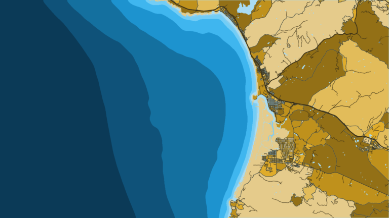
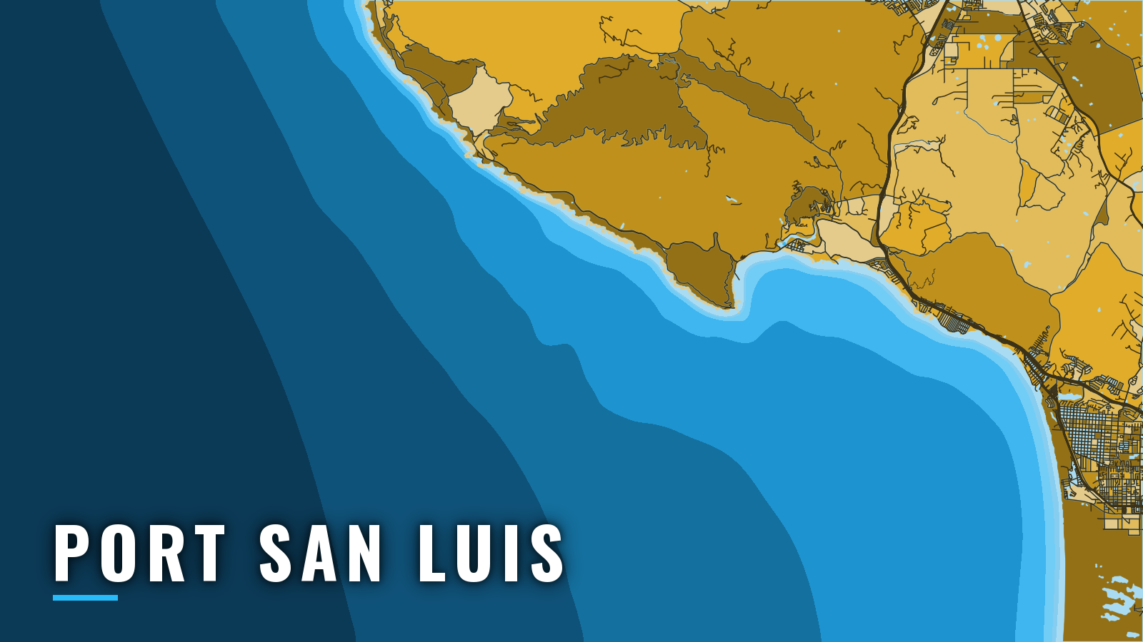
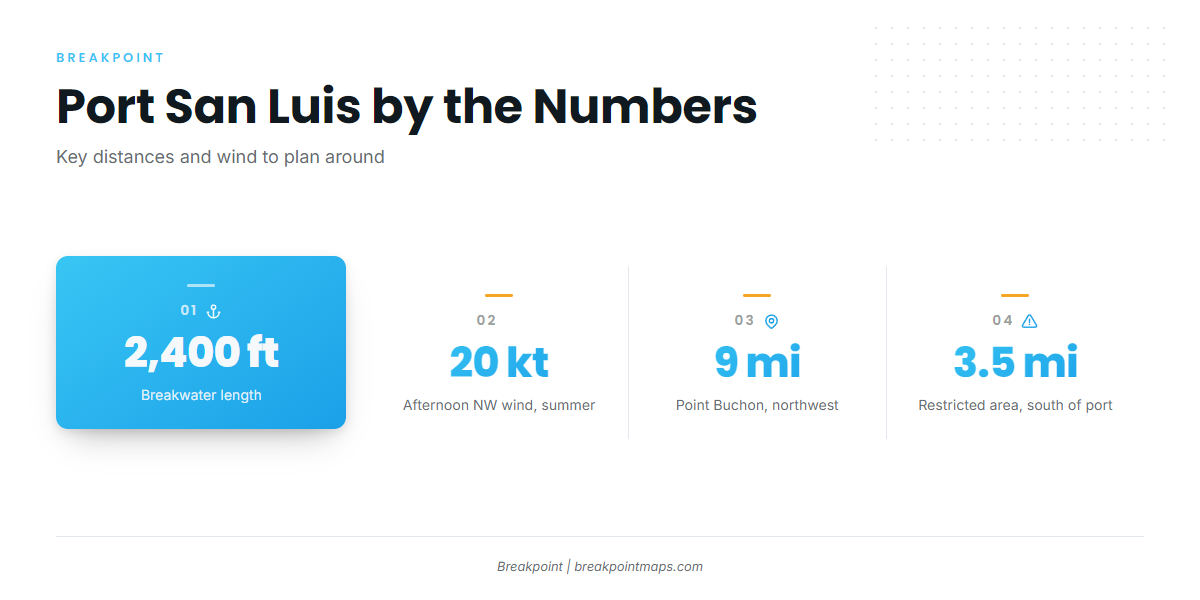
Port San Luis sits on the west shore of San Luis Obispo Bay at Avila Beach, behind Point San Luis and its 2,400-ft breakwater. It is a working harbor on California’s Central Coast, between Morro Bay to the north and Santa Barbara to the south. Groundfish are available all year, with pelagics added in summer and autumn. Rockfish and lingcod hold on the reefs, crab and sanddabs run in winter, salmon show in spring and summer, and albacore and Pacific mackerel come through in summer and autumn. You launch and run straight out into the open bay, and the season determines what is running. For the wider picture, see the Pacific Southwest fishing guide.
Access and navigation
Three facilities serve boaters who bring their own boats:
- Port San Luis Boat Launch Facility – hoist launch for trailer boats, run by the Port San Luis Harbor District.
- Port San Luis Harbor mooring field – guest moorings for boats up to 35 ft, first come first served, April through October. Fuel is listed.
- Harford Pier – fuel and the public fish cleaning station.
Check Harbor District notices before the drive.
How the bay behaves
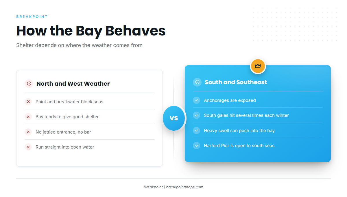
San Luis Obispo Bay has no jettied entrance and no bar, so you run straight into open water. Point San Luis and the breakwater block seas from the west, which gives the bay good shelter in north and west weather. The anchorages are exposed to south and southeast weather. South gales occur several times each winter and can push heavy swell into the bay, and Harford Pier is open to seas from the south and southwest. The U.S. Coast Pilot 7 chapter for this coast covers the details.
In summer, the northwest sea breeze can reach 20 knots in the afternoon and can persist at lower speeds until midnight. Mornings tend to be lighter, which is why early starts matter. August and September bring the most fog, with visibility below 0.5 mile on more than 15 days a month at some locations.
The approaches
There are two ways in and out, and you use one or the other.
- South approach: Pass 100 yards west of the lighted gong buoy at Souza Rock, then run about 000° for roughly 2 miles until you are past Lansing Rock.
- North approach: Stay outside the lighted bell buoy at Westdahl Rock and the lighted whistle buoy off the breakwater.
Several rocks covered 13 to 18 ft lie in the approaches, and the east part of the bay has many rocks and heavy kelp. The Coast Pilot chapter has the full approach detail.
On arrival, look at the water and read the NWS Coastal Waters Forecast, the LOX forecast for Point Piedras Blancas to Point Sal, 0 to 10 NM and 10 to 60 NM. If the water looks bigger than you want, switch approaches or stay inside the bay. The forecast is a guide, but what you see in front of you takes precedence.
Fishing conditions
CDFW sets the rules, and they can change in season. Check CDFW in-season regulation changes before fishing. OBS SST and Chlorophyll show where the offshore edges sit, and Chart Contours shows the reef structure. Chart layers are not for navigation.
The grounds run from near to far:
- Local reefs and nearshore rocks: the reefs off Port San Luis and Shell Beach, and Pecho Rocks. These hold rockfish and lingcod. For lingcod detail, see the lingcod fishing guide.
- North: the Montana de Oro coastline and Point Buchon, about 9 miles northwest of Point San Luis. Check the Point Buchon marine protected area boundaries before fishing there.
- South: Point Sal and Point Purisima. Breakers and reefs extend nearly 600 yards south and west from Point Sal, and Lion Rock sits 200 yards off its south face.
- Restricted waters: danger and restricted areas extend 3.5 miles offshore from south of Point Arguello to Point Sal. Check the chart.
| Ground | Direction from port | What to know |
|---|---|---|
| Local reefs, Pecho Rocks | Near the port | Rockfish and lingcod |
| Montana de Oro, Point Buchon | North | Check MPA boundaries first |
| Point Sal, Point Purisima | South | Breakers, reefs and a restricted area offshore |
Winter
Crab and sanddabs. South weather and south swell can limit trips and can wrap into the bay, so read the forecast before you commit to the run.
Spring
Rockfish, crab, salmon and Pacific mackerel. Check salmon season status with CDFW before you plan around it. Halibut can show on sandy bottom in the bay.
Summer
Rockfish, salmon, albacore and Pacific mackerel. Albacore come and go with warm offshore water, and the albacore tuna fishing guide covers how to find it. Plan around the afternoon northwest wind and start early. Fog builds toward August. Halibut can still show on sandy bottom in the bay.
Autumn
Rockfish, crab, albacore and Pacific mackerel. Albacore depend on warm water staying within range of the port. September tends to bring fog, so plan for reduced visibility on the run in and out.