When yellowtail turn up at Port San Luis
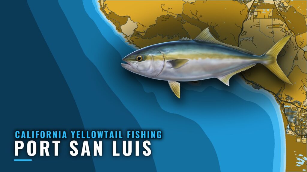
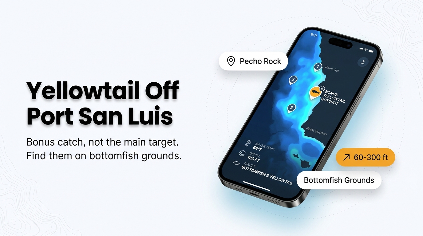
California yellowtail out of Port San Luis are a bonus catch. They show up in the counts on rockfish and lingcod trips, and no seasonal run is described here. Patriot Sportfishing lands them at Avila Beach.
For biology and seasonal movement, see the California yellowtail species guide. This page covers named grounds, depths, and the data sources worth checking, which should help you decide where to look. It can’t promise a fish.
Where boats run out of Port San Luis
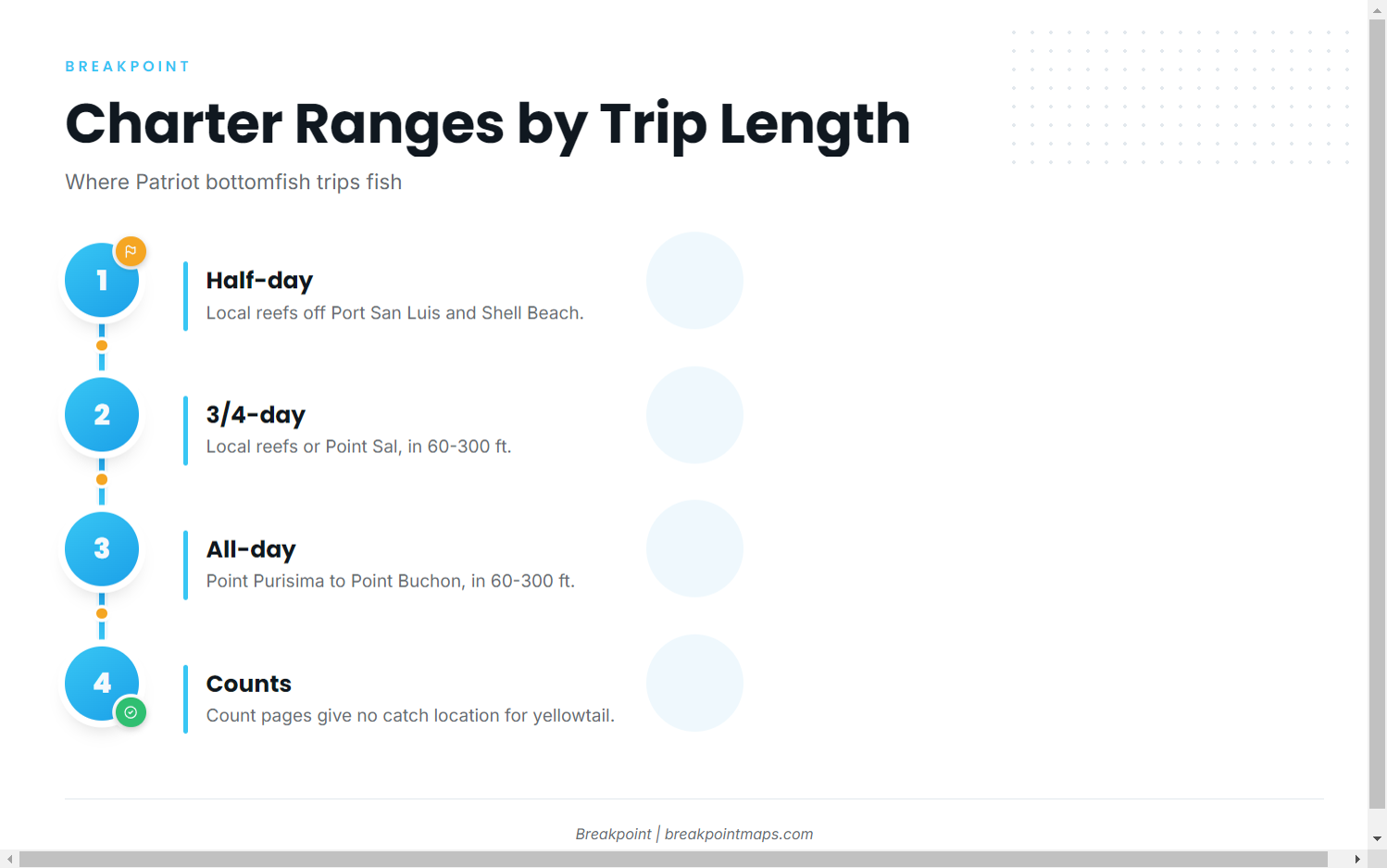
Patriot Sportfishing’s site lists its Patriot Sportfishing trip ranges. These are bottomfish trips, and they give the best-documented picture of where boats work out of this port.
Half-day local reefs
Half-day trips fish the local reefs off Port San Luis and Shell Beach.
3/4-day and Point Sal
3/4-day trips fish the local reefs or Point Sal, in 60-300 ft. According to NOAA’s Coast Pilot 7, breakers and reefs extend nearly 600 yards south and west from Point Sal, and Lion Rock sits 200 yards off its south face.
All-day Point Purisima to Point Buchon
The all-day trip range runs from Point Purisima to Point Buchon, in 60-300 ft.
The count pages don’t say where any yellowtail was caught. These ranges show where bottomfish trips go, which says little about where yellowtail sit.
Grounds and structure near Port San Luis
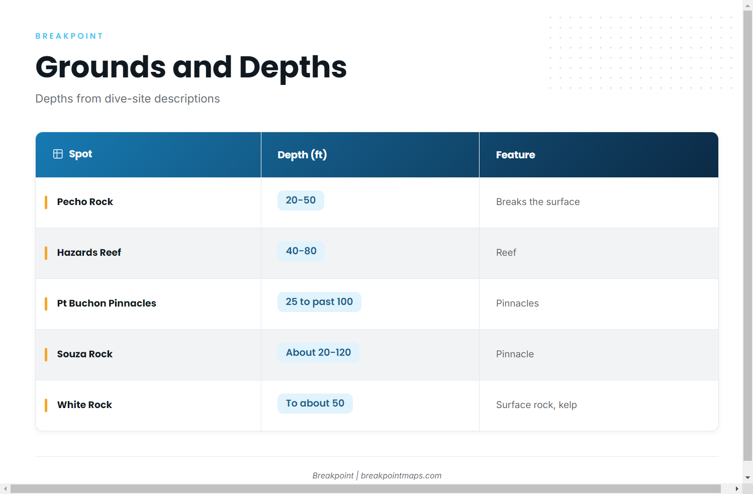
The features below are rock and reef on the bottomfish grounds, and nothing here says they hold yellowtail. Dive-site descriptions put the depths at:
| Spot | Depth (ft) | Feature | Depth source |
|---|---|---|---|
| Pecho Rock | 20-50 | Breaks the surface; between Port San Luis and Morro Bay | Dive-site description |
| Hazards Reef | 40-80 | Reef | Dive-site description |
| Point Buchon Pinnacles | 25 to past 100 | Pinnacles | Dive-site description |
| Souza Rock | Top about 20, bottom about 120 | Pinnacle | Dive-site description |
| White Rock | To about 50 | Rock breaking the surface, with kelp | Dive-site description |
You can view these grounds against Chart Contours in Breakpoint. Chart layers are not for navigation.
How yellowtail out of Port San Luis are fished, and who fishes them
Incidental on rockfish and lingcod trips
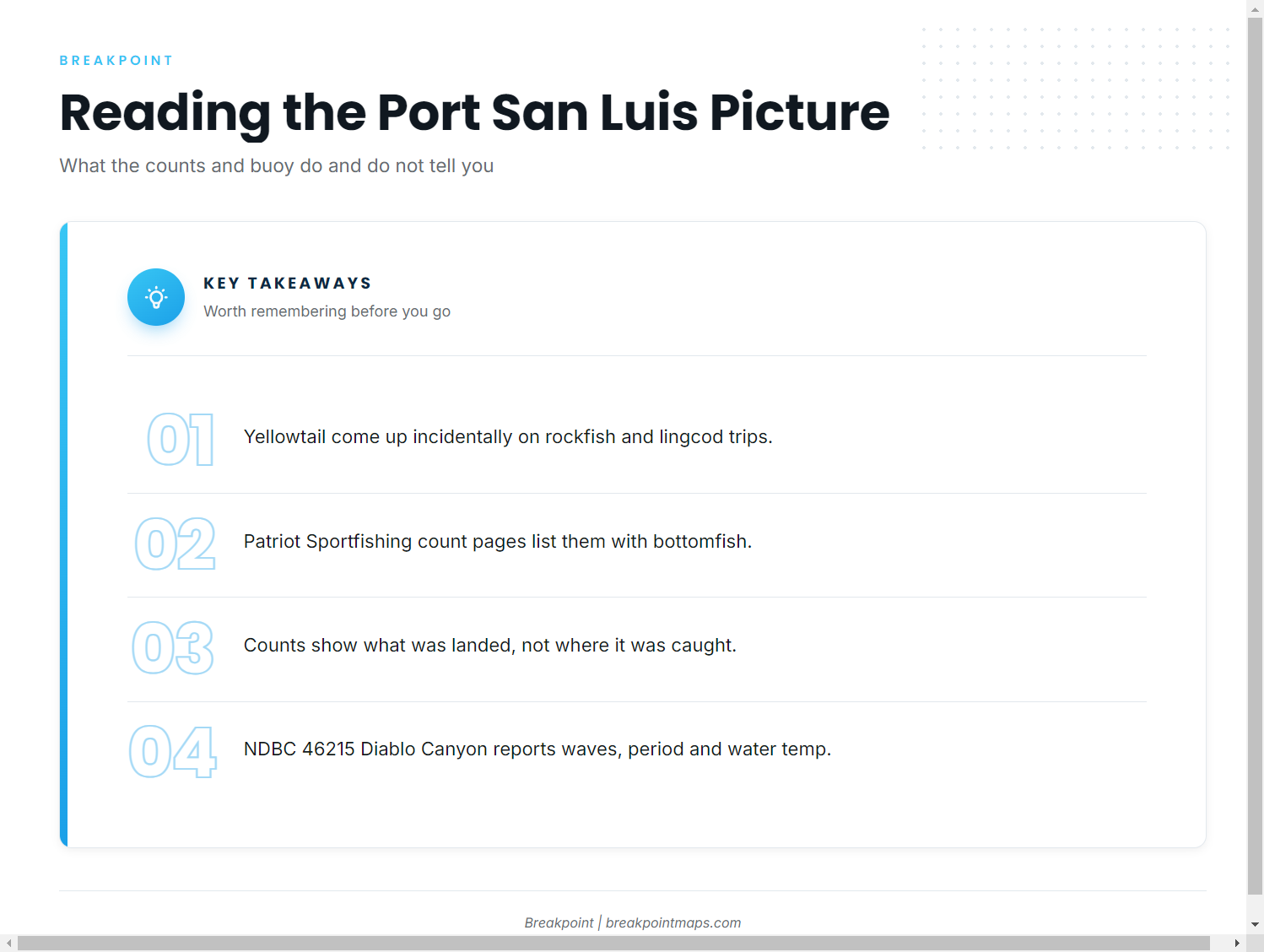
The counts record yellowtail as incidental fish on rockfish and lingcod trips. There is no targeted local yellowtail method to describe.
Patriot Sportfishing
Patriot Sportfishing is the landing that brings these fish in. Its Patriot Sportfishing fish counts list yellowtail alongside rockfish and lingcod. For the regional picture, including where runs do happen, see the Pacific Southwest yellowtail guide (see also the Pacific Southwest offshore fishing guide).
Reading counts and NDBC 46215
A count shows that a yellowtail was landed and what it came with, but not where it was caught.
The nearest buoy is NDBC 46215 Diablo Canyon, a Scripps waverider at 35.204N 120.859W, on ndbc.noaa.gov. Read wave height, period and water temperature as the buoy reports them, and check the official NWS marine forecast for the coastal waters before you go.
FAQ about Port San Luis yellowtail
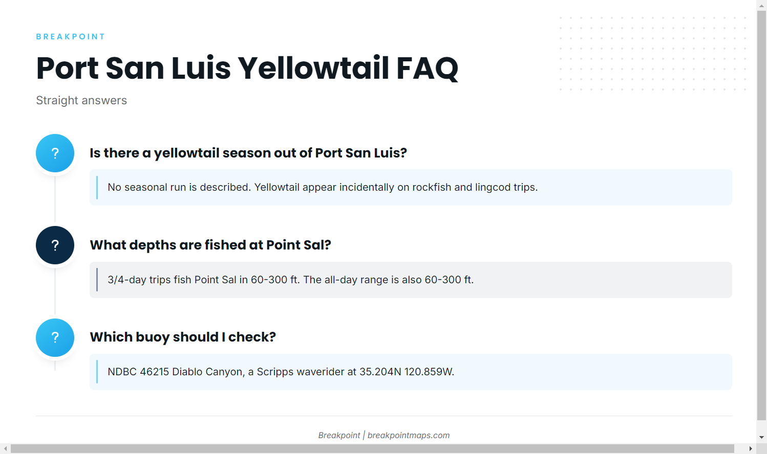
Is there a yellowtail season out of Port San Luis?
No seasonal run is described. Yellowtail appear incidentally on rockfish and lingcod trips from Patriot Sportfishing, and nothing in the counts points to a time of year when they are more likely. Plan around the bottomfish grounds and treat a yellowtail as a bonus.
Where are yellowtail caught out of Port San Luis?
Patriot lands them, but the counts give no catch location. The trip ranges are the local reefs off Port San Luis and Shell Beach, Point Sal, and Point Purisima to Point Buchon. Those show where bottomfish trips go, not where the yellowtail were caught.
How are yellowtail caught at Avila Beach?
They are incidental on rockfish and lingcod trips. For other species fished from this part of the coast, see our coastal and offshore gamefish guides.
What depths are fished at Point Sal?
3/4-day trips fish Point Sal in 60-300 ft. The all-day range from Point Purisima to Point Buchon is also 60-300 ft.
Which buoy should I check?
NDBC 46215 Diablo Canyon, a Scripps waverider at 35.204N 120.859W. Read wave height, period and water temperature as reported, and check the official forecast alongside it.