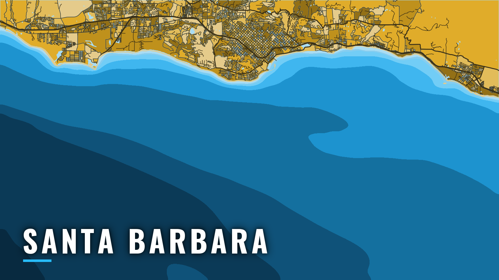

About Santa Barbara
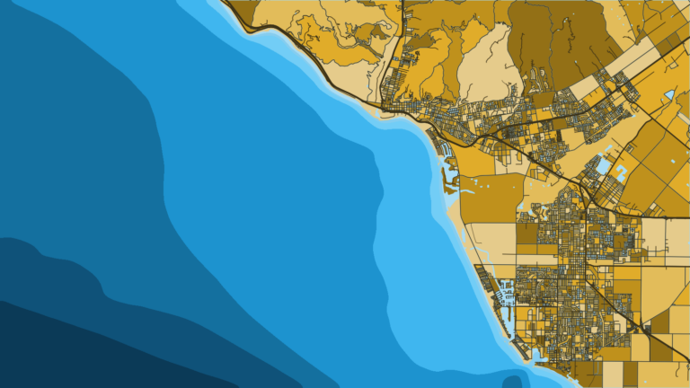
Santa Barbara Harbor is a city-run harbor on the mainland side of the Santa Barbara Channel. Boats enter through a single dredged channel between the breakwater and Stearns Wharf. Santa Cruz Island and Santa Rosa Island lie across the Channel, and the mainland coast fishes too.
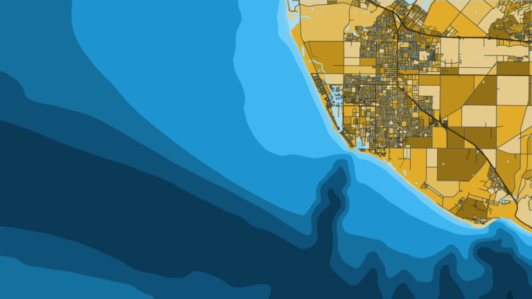
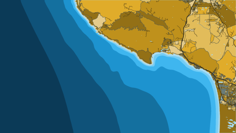
The mainland shore runs southeast past Ventura and Channel Islands Harbor. To the northwest it runs past Point Conception, the west end of the Channel, toward Port San Luis.
The water fishes year-round, and the mix shifts by season. Rockfish and lingcod carry the cooler months. White seabass, calico bass and halibut come through spring and summer. Yellowtail, bonito and barracuda follow warm water in summer and autumn. Species detail is in the guides, and the rules are on our California regulations page.
This page covers how to get in and out, where to read conditions, and what the water offers by season.
Access and navigation
The City Waterfront Department runs both the launch ramp and the marinas.
- Santa Barbara Harbor Launch Ramp – city ramp inside the harbor
- Santa Barbara Harbor (City marinas) – city slips, fuel listed
- Santa Barbara Landing – landing with tackle and supplies
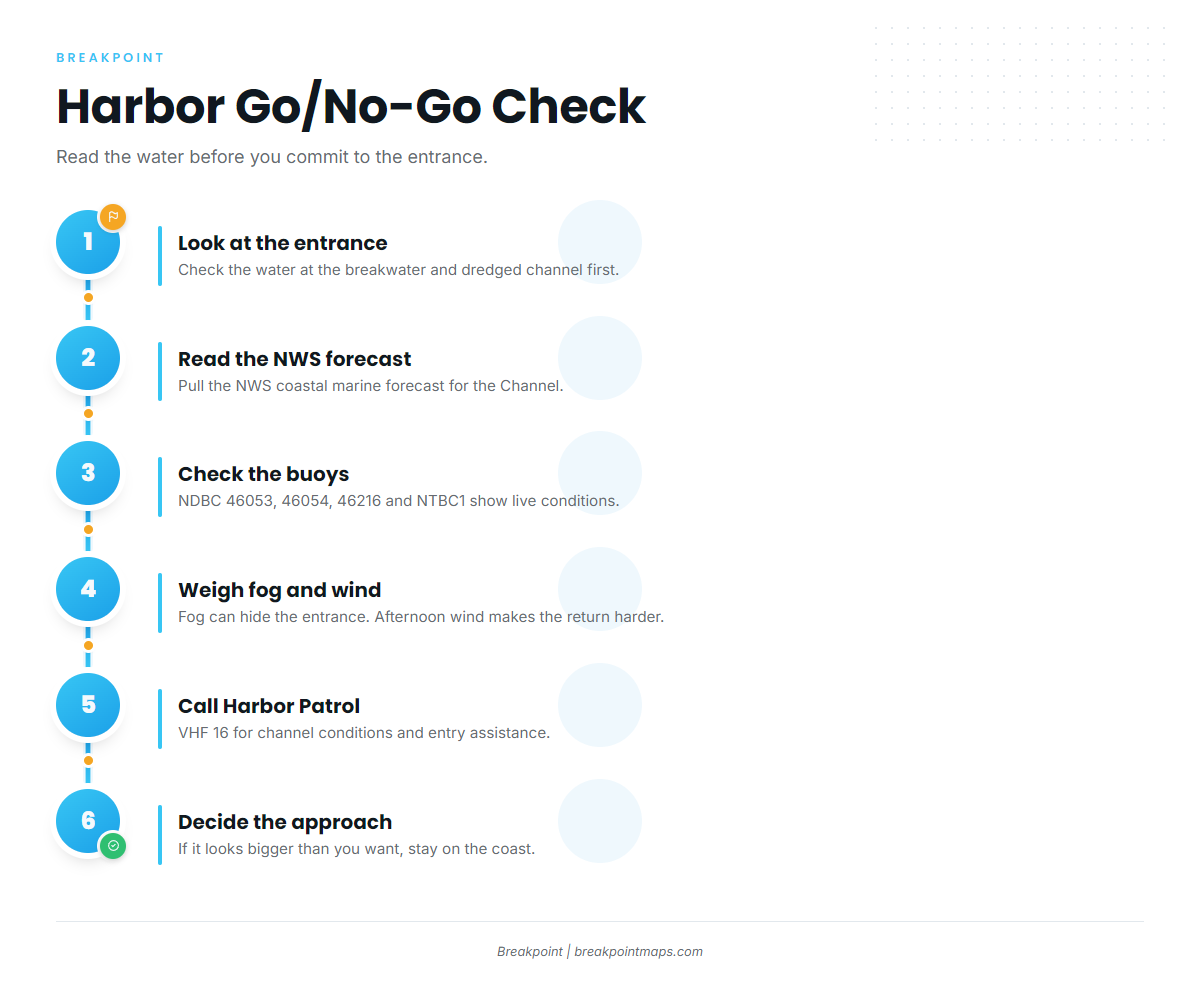
The dredged entrance channel tends to shoal after southeast storms. NOAA Coast Pilot 7 notes that lighted buoys mark the channel and are frequently relocated, so go by what you see on the water rather than the chart.
At night the breakwater light can get lost against the city lights. The long sandbar north of the breakwater light is hard to see on a high-tide night, and groundings have occurred when boats steered for masts seen over the breakwater.
Fog is most frequent at the harbor from August through November. Visibility can drop under 0.5 mile on about 4 to 7 days a month, and mornings are usually the worst. Harbor Patrol activates a sound signal at the breakwater light, but fog can hide the entrance even when the numbers look fine. Gales and seas of 12 feet or more can occur from mid-fall through late spring, particularly in the Santa Barbara Channel and off Point Arguello.
Wind is usually lighter early and builds through the afternoon, which can make the return run the harder leg. The crossing passes through shipping lanes where NPS cites ship speeds of 25 to 35 knots. There are no public moorings or all-weather anchorages at the islands.
The harbor has only one entrance, so there is no second way in. You have three fallbacks:
- Call Harbor Patrol on VHF 16. It monitors channel conditions and assists boats entering on request.
- Run early and plan to be back before the afternoon wind builds.
- Fish the mainland coast instead of crossing.
Before heading out, look at the water at the entrance and read the NWS coastal marine forecast. Then check the buoys. NDBC buoy 46053 covers the East Channel. Buoy 46054 covers the West Channel, 46216 sits at Goleta Point, and station NTBC1 reports from Santa Barbara. If the water looks bigger than you want, stay on the coast or call off the crossing.
Fishing conditions
Warmer southern water and cooler northern water meet in the Channel, so the pelagic runs vary from year to year. The Pacific Southwest fishing guide covers that swing across the region.
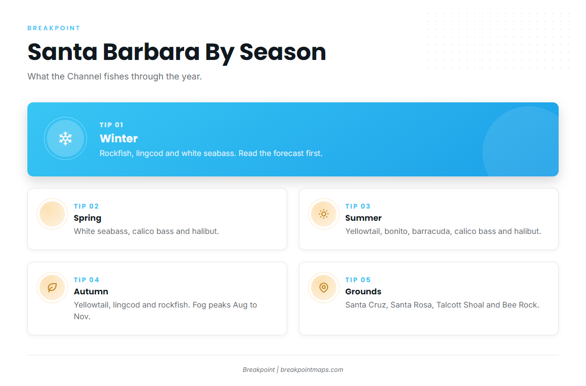
The port fishes Santa Cruz Island, Santa Rosa Island, Talcott Shoal and Bee Rock.
The Naples State Marine Conservation Area protects Naples Reef, about a mile offshore west of the harbor. Take of marine resources is unlawful there except recreational spearfishing for white seabass and pelagic finfish, so treat it as a boundary to avoid. It runs between 34°25.000’N and 34°26.517’N, and between 119°56.000’W and 119°58.000’W.
South of Point Arguello, an Ocean Enhancement Validation is required in addition to your sport fishing license. Get it through CDFW Licensing and check the rules before fishing.
| Season | Main targets |
|---|---|
| Winter | rockfish, lingcod, white seabass |
| Spring | white seabass, calico bass, halibut |
| Summer | yellowtail, calico bass, halibut, bonito, barracuda |
| Autumn | yellowtail, lingcod, rockfish |
Winter
Rockfish hold on bottom structure through the cooler months. Depth limits and seasons are set by CDFW and summarized on the California regulations page. Lingcod fish the same ground, and the lingcod fishing guide covers them. White seabass can show too. Winter falls inside the Coast Pilot gale window, so read the forecast before you cross.
Spring
White seabass work the coast as the water turns over. Calico bass move up onto the structure, and halibut settle onto the sandy bottom.
Summer
Yellowtail, bonito and barracuda follow warm water into the Channel. Calico bass and halibut stay in the mix. Watch the OBS SST and Chlorophyll layers for warm-water edges reaching the islands. Chart layers are not for navigation.
Autumn
Yellowtail linger while lingcod and rockfish return to the bottom. Fog peaks at the harbor from August through November, so a morning run can start in zero visibility. Review the navigation notes above before you leave the dock.