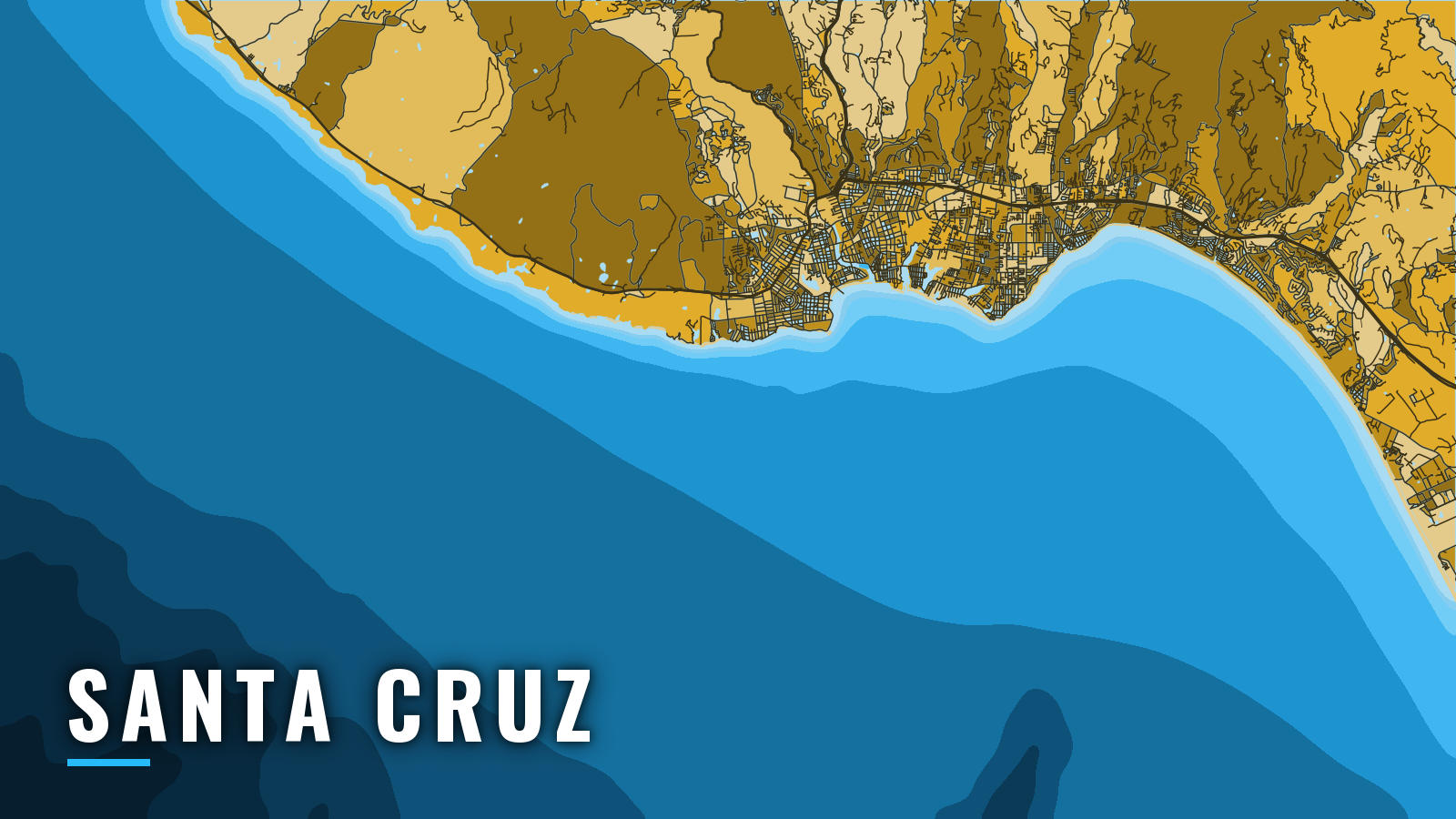

About Santa Cruz
Santa Cruz Small Craft Harbor sits on the north shore of Monterey Bay behind a jetty, with north and south basins and a public launch ramp. It is one of the California ports that opens directly onto the bay, and it serves the upwelling-fed Monterey Bay fishery as well as the coast north toward Davenport.
Bottomfishing runs year-round and peaks in summer and autumn. Anglers target rockfish, lingcod, California halibut, salmon when the season is open, and albacore and bluefin in some years. This guide covers the ramp, the entrance, the run home, and the grounds.
Access and navigation
Every trip out of Santa Cruz starts and ends at one narrow entrance. The harbor offers:
- Santa Cruz Harbor Launch Ramp – public ramp run by the Santa Cruz Port District.
- Santa Cruz Small Craft Harbor – slips, transient berths and fuel.
The Port District homepage posts launch ramp, dredge and dock notices.
Entrance behavior
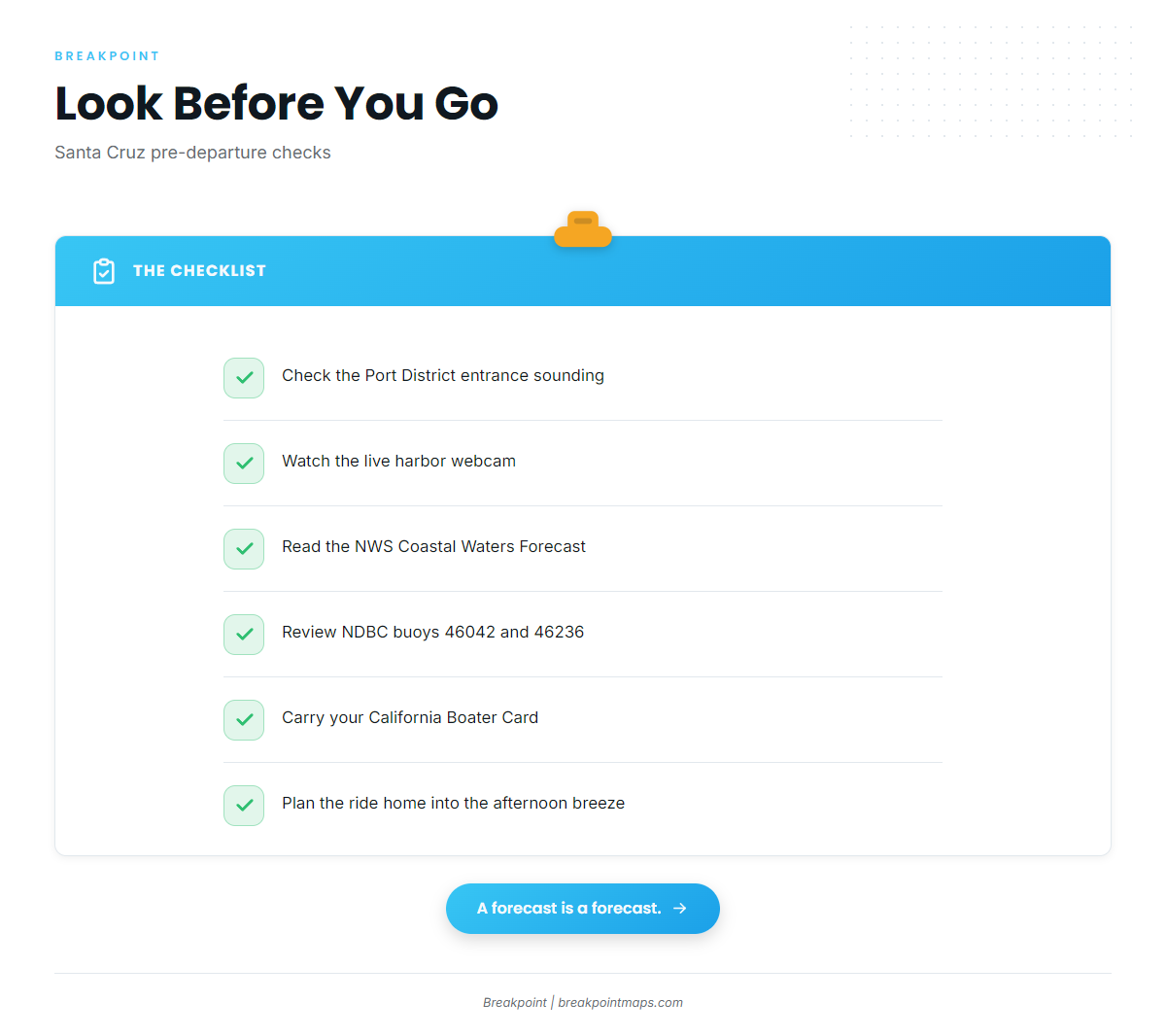
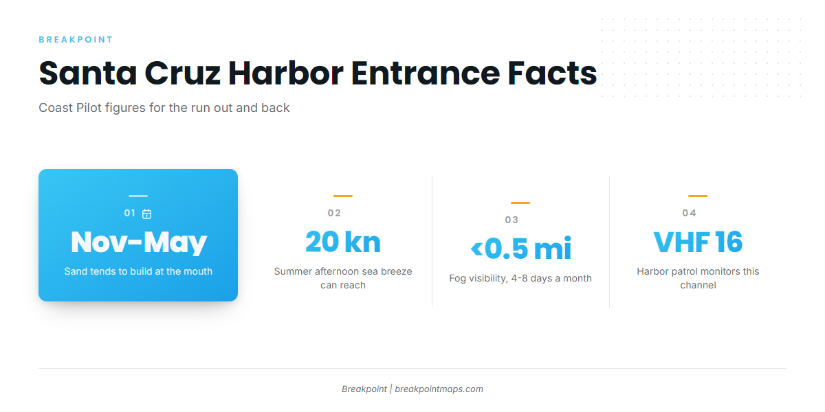
Sand tends to build at the mouth from November through May, and the Port District dredges the entrance channel during that window. Check the Port District’s entrance sounding before the trip. A sounding is only a snapshot, and shoaling can shift between surveys.
NOAA Coast Pilot 7 relays the harbormaster’s recommendation that mariners without local knowledge not attempt entry during high ground swells. The district runs a live harbor webcam, so watch it before you leave the ramp and again before you head home.
A harbor patrol boat monitors VHF channel 16 and will guide vessels in on request. California requires a Boater Card for all operators.
Alternative approach
The Coast Pilot describes the anchorage off the municipal pier as well sheltered in north weather. In northwest weather a heavy swell is likely to sweep in, and the pier can see considerable surge from swell wrapping around the point.
In south weather the Coast Pilot lists no protection at the anchorage. It names Monterey, Moss Landing and the small-craft harbor as places to run for. For boats working the north coast reefs, Pillar Point Harbor in Half Moon Bay is the next harbor up the coast, past Davenport and Pigeon Point.
Afternoon breeze and the return run
The summer sea breeze can reach 20 knots in the afternoon and persist at lower speeds until midnight. Spring and summer winds most often come from the northwest, so a morning run up toward Davenport can mean a longer ride home into or across that breeze.
Summer fog
Sea fog affects the bay from about July through September. Around Santa Cruz Anchorage it can cut visibility to under 0.5 mile on 4 to 8 days per month in the worst period.
Look before you go
Read the NWS Coastal Waters Forecast for the Central California Coast, which includes Monterey Bay. The Port District’s tides and weather page links to it, and NDBC buoys 46042 and 46236 report wind and swell.
On arrival, look at the water at the entrance and read the official forecast. If conditions look bigger than you want, switch approaches or change the plan.
Fishing conditions
The water off Santa Cruz drops quickly into the Monterey Submarine Canyon, and offshore fish tend to sit on temperature edges. In Breakpoint, OBS SST shows those edges, Chlorophyll shows the color breaks, and Chart Contours shows the canyon walls and reef structure. Chart layers are not for navigation.
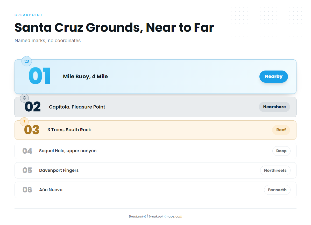
The named grounds:
- Soquel Hole and the upper Monterey Canyon: deep water close to the harbor.
- Mile Buoy and 4 Mile: nearby marks.
- Capitola and Pleasure Point: nearshore, east of the harbor.
- 3 Trees: reef.
- Natural Bridges: Natural Bridges SMR is no-take.
- South Rock: rock.
- Davenport and the Davenport Fingers: north coast reefs.
- Año Nuevo: the far end of the north run.
Soquel Canyon SMCA and Portuguese Ledge SMCA restrict take, and Portuguese Ledge has an exception for pelagic finfish. Check CDFW for boundaries, and see the Monterey Bay sanctuary fishing rules.
The California Department of Fish and Wildlife (CDFW) sets rockfish and lingcod depths and seasons, ocean salmon season status and California halibut rules, and they change. Check the CDFW Ocean Sport Fishing Regulations before every trip.
Rockfish and lingcod hold on the reefs from 3 Trees up to Davenport. California halibut can sit on the sandy shallows from Pleasure Point to Capitola. Salmon is a target when the season is open, so confirm status with CDFW.
Winter
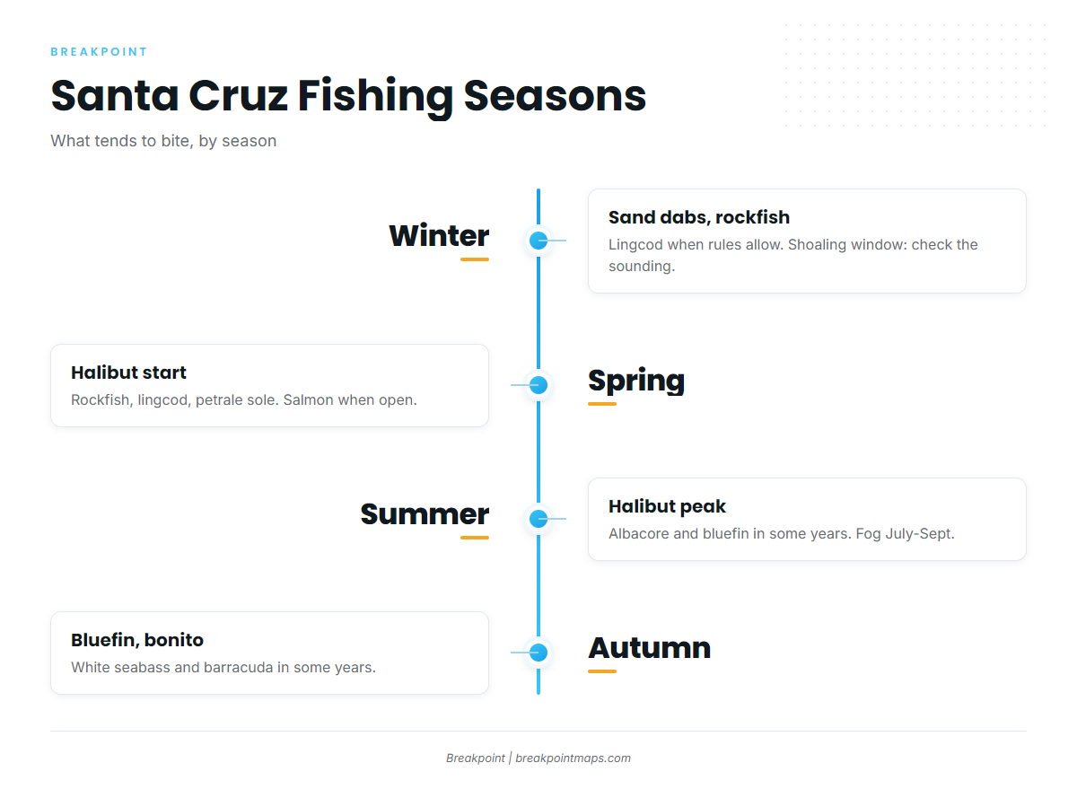
Sand dabs, rockfish and lingcod are the targets, when groundfish rules allow. Check CDFW first. Winter falls inside the shoaling window, so check the entrance sounding and the webcam before you commit to the run.
Spring
Rockfish and lingcod continue. California halibut start to show, petrale sole are in the mix, and salmon can be a target when the season is open. Northwest wind becomes the likely pattern, and shoaling can persist through May.
Summer
Summer is the peak for halibut. Rockfish and lingcod continue, and albacore in some years join the list. Bluefin have been reported within about 15 miles of the harbor in some years. Plan around fog from July through September and the 20-knot afternoon breeze on the ride home.
Autumn
Rockfish, lingcod and halibut continue. In some years bluefin and bonito show, along with white seabass and barracuda. Bluefin range out from the harbor in those years, and the same entrance checks apply on the way home.