
About Shelter Cove
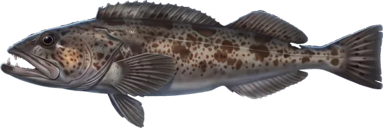
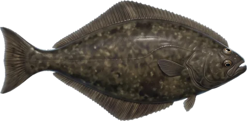
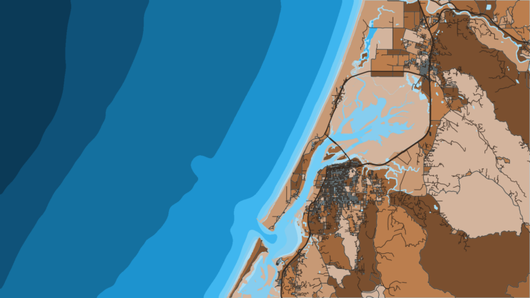
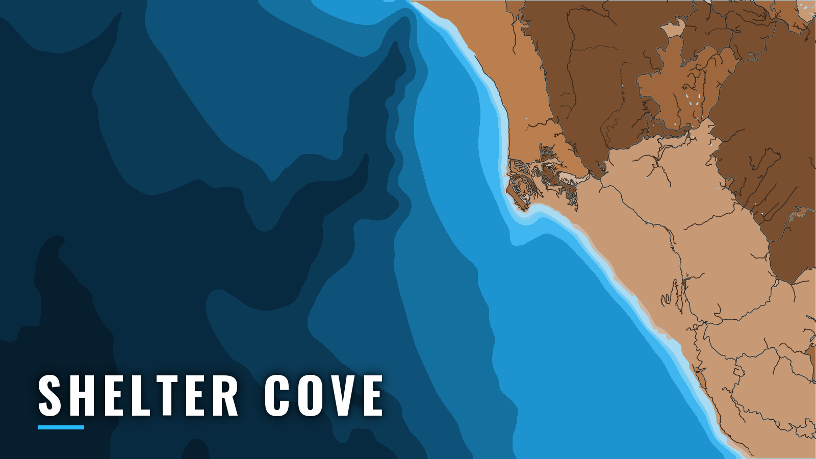
Shelter Cove is an open cove under the south face of Point Delgada on the Lost Coast in Humboldt County. It has no harbor basin and no river bar, so there is no bar crossing to time. Boats go in and out by tractor launch at the head of the cove, and the state boating facility listing covers the basics. California ocean fishing here means nearshore rockfish, lingcod, Pacific halibut and king salmon, plus Dungeness crab, with albacore offshore in summer and autumn.
Access and navigation
Two facilities serve boaters at the cove:
- Shelter Cove Boat Launch – tractor launch and retrieval run by Shelter Cove Fishing Preservation Inc.
- Mario’s Marina – fuel listed.
The launch is managed by the Humboldt Bay Harbor, Recreation and Conservation District, which also manages Humboldt Bay.
The ramp has a low slope and changing tides, so a simple back-in launch with a truck is usually not possible, especially with larger boats. The tractor handles that work instead.
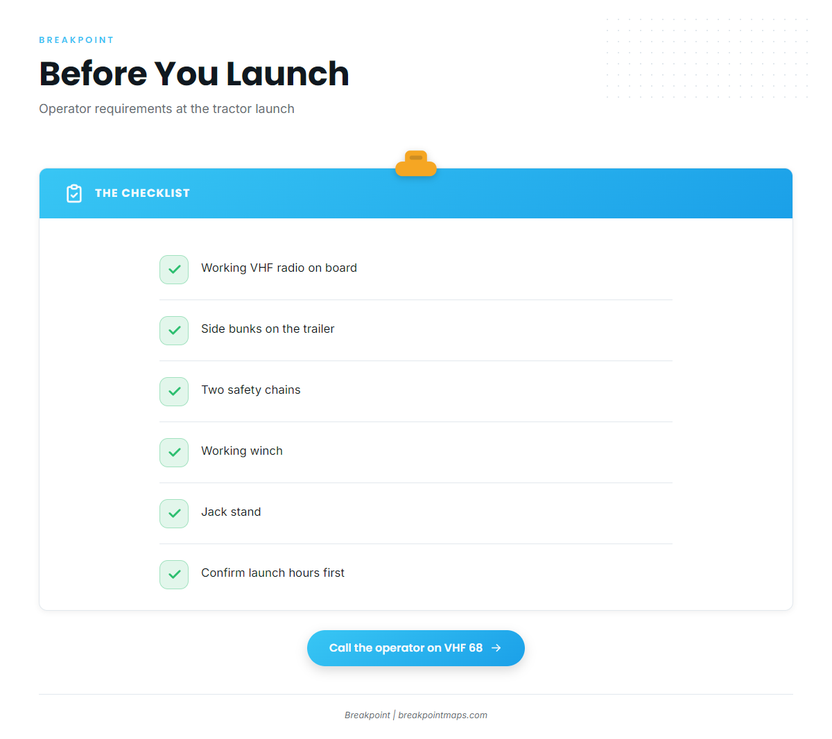
The operator sets launch hours, so confirm them before you go. The launch service’s requirements are specific:
- Your boat must show a working VHF radio.
- Your trailer needs side bunks, two safety chains, a working winch and a jack stand.
The service monitors VHF 68 and does not launch on days it judges hazardous. Call the operator on 68.
How the cove tends to behave
NOAA Coast Pilot 7 guidance describes fair shelter in northwest weather. The cove faces south, so it is exposed to south and southeast winds, and an occasional swell can run in. Watch the cove’s south face for south swell.
Rocks covered 1 to 5 fathoms (6 to 30 feet) lie south of Point Delgada. The Coast Pilot route around them is to stay more than 200 yards south of the lighted whistle buoy and east of the bell buoy, which is charted 0.8 miles southeast of the point. No second approach is charted, and the operator decides whether launching happens at all.
Punta Gorda, nearly 20 miles northwest, has wind, sea and current that the Coast Pilot compares to any point on the coast, with frequent strong tide rips. The cove can be clear with a smooth sea while wind and sea build toward Punta Gorda, so read the Punta Gorda note before running north.
A smooth cove can hide rougher conditions outside. On arrival, look at the water and check the NWS Eureka marine forecast and buoys. If conditions look bigger than you want, change the plan: stay inside the point’s lee, skip the run north toward Punta Gorda, or wait.
Fishing conditions
Shelter Cove sits in the Mendocino Groundfish Management Area, which runs from Cape Mendocino to Point Arena. For wider context, see the North Coast and Pacific Northwest seasons.
Named grounds:
- Vizcaino Knoll
- Vizcaino Canyon (canyon)
- Rodgers Break (rock)
- The Hat and Old Man
Winter
Dungeness crab is the target at Shelter Cove. Boat-based rockfish and lingcod fishing is closed January 1 through March 31. Check the CDFW groundfish regulations before planning anything else. CDFW also sets the crab rules.
Spring
Groundfish reopens for boats in April, though CDFW can change rules in season, so check its notices. Targets are Pacific halibut, rockfish, lingcod, king salmon and crab.
The halibut season is set each year with NOAA Fisheries and can close on quota, so check CDFW before you go. Salmon openings are also set each year, and CDFW has the current details. Don’t plan a trip around an assumption that fish will be there.
Summer
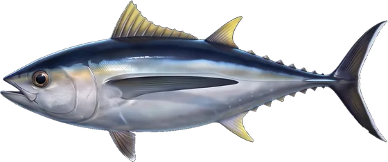
Summer targets are king salmon, albacore, halibut, rockfish, lingcod and crab. Albacore depend on warm water moving within range. For the setup, read how albacore water sets up along the Pacific Northwest.
Before committing to the run, read OBS SST, Chlorophyll and Chart Contours in Breakpoint for the sea surface temperature break. Chart layers are not for navigation, and cloud can block a satellite pass.
Autumn
Autumn targets are albacore, halibut, rockfish, lingcod and crab. Albacore can hold offshore while the warm water lasts. The Punta Gorda note and the NWS forecast still apply on the way out and back.
Related ports: Fort Bragg.