When Bluefin Show Up Off Shelter Cove
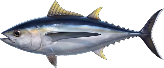
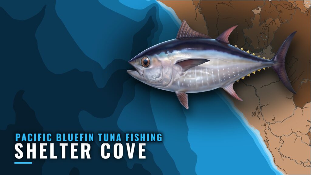
Bluefin off Shelter Cove are not a listed season. Sea Hawk’s season listings don’t include them, so treat bluefin here as fish that show up in some years rather than a reliable run. Pacific bluefin tuna fishing out of Shelter Cove depends on reports and conditions on the day. This guide covers the structure, how boats fish it, what size fish to gear for, which buoy to read and where the rules live.
The Lost Coast has no set bluefin window to plan around. The broader picture of bluefin moving north is in the regional guide (see also the Pacific Northwest offshore fishing guide). Launch, services and the rest of the port picture are on our Shelter Cove page.
Grounds and Structure Near the Cove
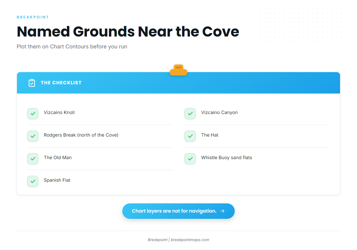
Seven named grounds sit around the Cove:
- Vizcaino Knoll
- Vizcaino Canyon
- Rodgers Break, north of the Cove
- The Hat
- The Old Man
- Whistle Buoy sand flats
- Spanish Flat
Vizcaino Knoll and Vizcaino Canyon
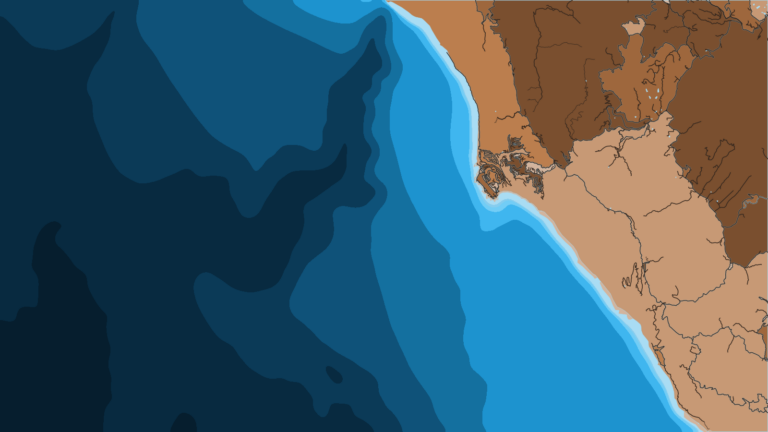
Both are offshore structure near the Cove. The knoll is a high spot and the canyon is a cut in the bottom. Plot both on Chart Contours before you leave the dock.
Rodgers Break
Rodgers Break is a named ground north of the Cove.
Local Marks: The Hat, The Old Man, Spanish Flat and the Whistle Buoy Sand Flats
These are local names. Get marks from people who fish the Cove and check them against Chart Contours. Chart layers are not for navigation.
How Bluefin Are Fished From Shelter Cove
Local method comes down to how the lures are pulled and what size fish you are gearing for. Spreads, other methods and general tackle are in the species guide.
High-Speed Trolling
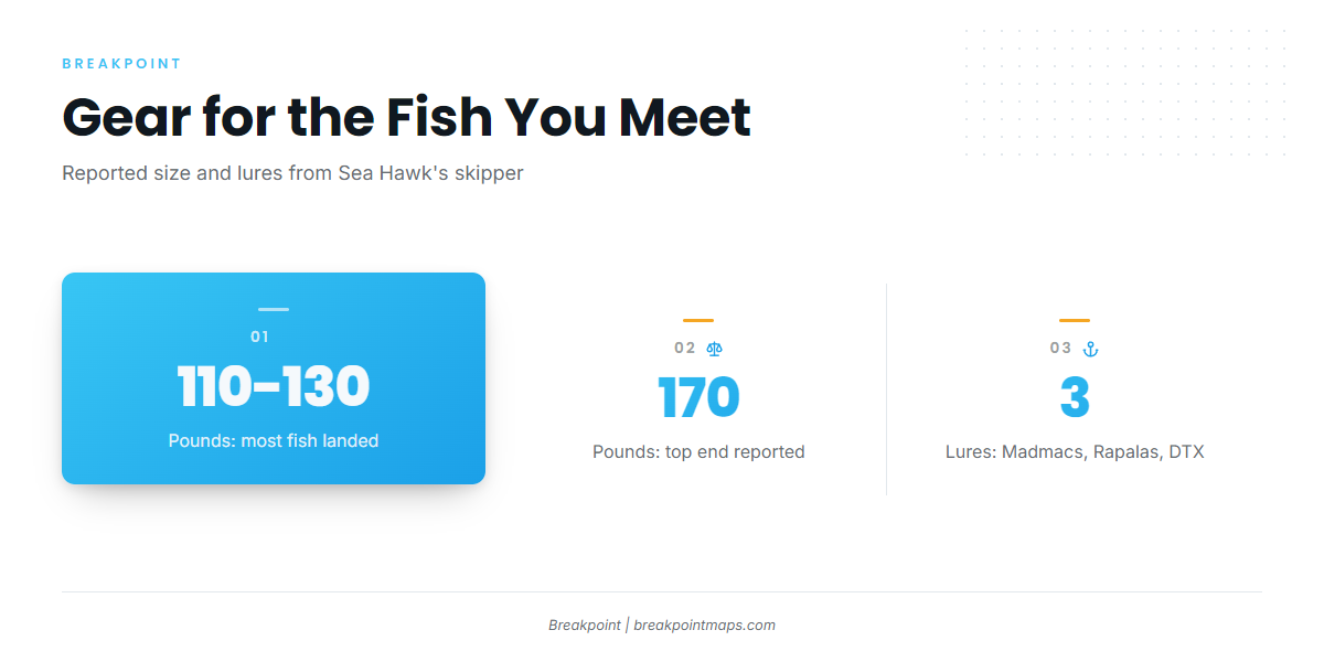
Sea Hawk’s skipper reported boats using mostly high-speed trolling lures, including:
- Madmacs
- Rapalas
- DTX
Fish Size and Gear
Fish landed were mostly 110 to 130 pounds, with some up to 170. Anglers without bluefin gear or experience were outmatched. Match your tackle to a 170 pound fish before you run, and use the species guide for setups.
Who Fishes Them and Reading Conditions
Sea Hawk is the local operator named for bluefin. Private owner-operators run their own boats to the same water.
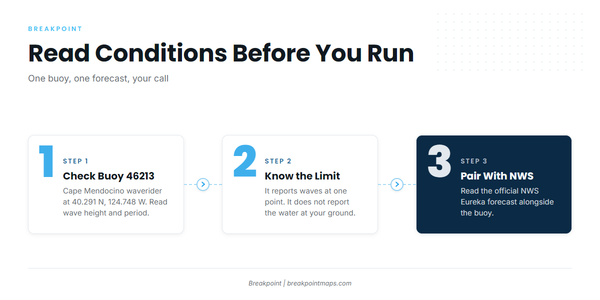
The nearest buoy is NOAA NDBC station 46213, Cape Mendocino, a waverider at 40.291 N, 124.748 W. Check wave height and period there, but keep in mind that it reports waves at a single point off Cape Mendocino and says little about the water at your ground.
Pair the buoy with the official NWS Eureka forecast. We show buoy data in the app, but the forecast office is the source for what the coast is doing.
FAQ About Shelter Cove Bluefin
Is there a bluefin season at Shelter Cove?
Sea Hawk lists no bluefin season. Treat the fish as a run that shows up in some years.
What lures catch bluefin here?
Sea Hawk’s skipper reported high-speed trolling lures: Madmacs, Rapalas and DTX.
How big are the fish?
Fish landed were mostly 110 to 130 pounds, with some up to 170. Anglers without bluefin gear or experience were outmatched.
Are bluefin the main tuna here?
No. Bluefin are not a listed season, so the port is not planned around them. Our tuna fishing guides cover the other species by region.
Which buoy should I check?
NDBC 46213, Cape Mendocino, at 40.291 N, 124.748 W. Check wave height and period alongside the NWS forecast.
Where do I find the rules?
CDFW covers state waters, with the federal HMS rules beyond them. Check both before fishing.