




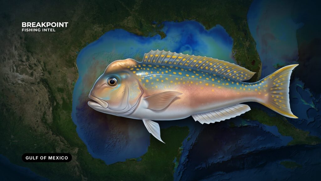
Golden tilefish fishing in the Gulf of Mexico happens on the upper continental slope, over soft mud and clay where the fish dig burrows. The species lives in 250 to 1,500 feet of water. In Gulf federal waters they have no minimum size, count in the 20-fish reef fish aggregate, and are open year-round.
This guide covers how to read the bottom, who governs which water, and what charts can and cannot show. Full ID and biology are in our golden tilefish guide.
Federal documents call this water the Gulf of America, so searching that name will turn up the federal rules.
Identification and Biology in Brief
The golden tilefish is a large, bottom-oriented fish of the outer shelf and upper slope. It lives in burrows, often in small groups or pods, and rarely ranges far from home ground.
NOAA Fisheries lists the Gulf stock as not overfished and not subject to overfishing. Gulf stock data are older than South Atlantic data, which is why management here stays conservative about what is known.
Blueline tilefish share the same ground and the same Gulf rules (see Regulations).
Where Golden Tilefish Live in the Gulf
Start with the regional picture in fishing the Gulf of Mexico. Golden tilefish sit on the continental slope and shelf break, where the bottom starts to fall away toward deep water.
The species range is 250 to 1,500 feet, with bottom temperatures of 49 to 58°F, according to the South Atlantic council species profile. That range applies to the species as a whole. In the Gulf, the ground often runs deeper than the southeast Florida grounds, and reaching the slope from Gulf ports means long runs and a boat with range.
Four areas define Gulf tilefish water:
- DeSoto Canyon: off the Florida Panhandle, within reach of Destin and Pensacola.
- The West Florida shelf edge: the slope along the eastern Gulf.
- Mississippi Canyon: off Louisiana, south of Venice.
- The Louisiana and Texas shelf break: the western slope, where the drop from shelf to deep water runs along the edge.
Each of these is a stretch of continental slope rather than a single spot. Deep dropping means covering that slope until the sounder shows the right bottom.
When to Fish: Year-Round, Set by the Weather Window
The federal Gulf season is open year-round. Bottom water at these depths stays cold and stable, and the fish hold fixed burrows, so season matters less than finding a window that allows the long run.
Plan around wind, wave height and period from the NWS offshore forecast instead of a calendar.
| What drives the trip | Why it matters |
|---|---|
| Federal season | Open year-round, so no closure sets your date |
| Bottom water | Cold and stable at depth, so fish stay on home ground |
| Run to the slope | Long, so your weather window sets the day |
Golden Tilefish Fishing in the Gulf of Mexico: Bottom and Water
The fish dig burrows in soft mud and clay and stay close to them. Hard bottom holds no burrows. A gentle slope tends to hold the soft sediment these fish can dig into, while a steep wall tends to shed it, which is why gradient matters as much as depth.
Bathymetry shows depth and slope, not substrate. Bottom type matters more than the exact numbers on a GPS, and only your sounder and the weight can confirm it. When the weight sinks into mud on impact, you are over soft bottom.
Reading tilefish ground comes down to four checks:
- Depth inside the 250 to 1,500 foot band.
- A gentle gradient on the slope.
- A sounder return that suggests soft bottom.
- The weight settling into mud.
Chart contours and bathymetry layers show slope breaks and gradient changes, but they cannot show bottom type. Chart layers are not for navigation.
How Anglers Fish for Them Here
The standard setup is a heavy weight, multiple circle hooks, baits on the bottom, and a long soak. Electric reels handle the depth. For rigging detail, see deep-drop rigging and electric reels.
Tilefish leave their burrows only a short distance to feed, so baits must lie on the bottom. Drift over the right ground and let the current carry the rig across the mud, re-setting the drift when the bottom changes. Whole squid and cut fish are common baits.
Gear for a deep-drop trip:
- Electric reel.
- Braided line.
- Multi-hook rig.
- Heavy weight.
- Non-stainless circle hooks.
- Dehooking device.
- Descending device or venting tool rigged and ready.
Fish brought up from depth suffer barotrauma. A descending device returns released fish to depth, giving them the best chance to survive.
Guides to golden tilefish fishing from specific ports: Venice, Biloxi and South Padre Island.
Regulations
Golden tilefish depths sit almost entirely beyond every state line, so federal Gulf rules govern in practice. State rules still apply to landing, transit and licensing. The Gulf Council golden tilefish rules are developed by the Gulf Council, and NOAA Fisheries implements and enforces them.
Check the agency page before you fish.
Federal Waters
Golden tilefish in Gulf federal waters have no minimum size, count in the 20-fish reef fish aggregate, and are open year-round. Blueline tilefish follow the same rule. The aggregate is separate from the 4-fish grouper aggregate. The federal reef fish bag limits are set in the federal code.
Required gear on the vessel:
- Non-stainless circle hooks when fishing with natural bait.
- A dehooking device.
- A descending device or venting tool rigged and ready.
Permits work this way:
- Private recreational anglers need no federal permit.
- For-hire vessels need a federal charter vessel/headboat permit for Gulf reef fish.
- Captain-and-crew rules apply to for-hire trips, so check them.
In-season changes appear in NOAA Fisheries rule bulletins. The aggregate and gear rules are covered in full in Gulf reef fish federal rules.
State by State
| State | State-water line | Agency | Golden tilefish rule |
|---|---|---|---|
| Florida (Gulf) | Shore to 9 nm | FWC | No minimum size; 100 lb or 2 fish per person per day, whichever is greater; open year-round |
| Alabama | 9 nm for reef fish (3 nm for other species) | ADCNR | Federal rule applies beyond the line |
| Mississippi | Check agency | MDMR | Check agency |
| Louisiana | Check agency | LDWF | Check agency |
| Texas | 9 nm; federal 9 to 200 nm | TPWD | Landed fish meet Texas and federal limits |
Florida. FWC sets the state rule in the table. The state-water descending device needs at least a 16-ounce weight and 60 feet of line. Monroe County state waters follow the Atlantic grouper rules, and golden tilefish there follow the Atlantic rules. See the FWC tilefish regulations page and our Florida fishing regulations.
Alabama. ADCNR places the line at 9 nm for reef fish. Beyond the line, the federal rule applies. See our Alabama fishing regulations.
Mississippi. State waters fall under MDMR, and federal water beyond falls under federal rules. See our Mississippi regulations.
Louisiana. State waters fall under LDWF, and federal water beyond falls under federal rules. See our Louisiana regulations.
Texas. Federal waters run 9 to 200 nm off Texas. Fish landed in Texas meet both the Texas limits and the federal limits where taken. Finfish in the federal zone must stay head and fins intact. See our Texas regulations.
Gulf vs. South Atlantic
| Region | Managing council | Bag structure | Season type | Where to check |
|---|---|---|---|---|
| Gulf | Gulf Council / NOAA Fisheries | 20-fish reef fish aggregate (federal); FL state 100 lb or 2 fish | Year-round | eCFR, NOAA bulletins, state agencies |
| South Atlantic | SAFMC | Separate from Gulf | Quota-driven recreational closures | SAFMC, FWC |
Swipe the table sideways to see every column.
The two regions are managed differently. The Gulf keeps tilefish open all year inside the reef fish aggregate, while the South Atlantic ties recreational access to quota. For the other side of the line, see golden tilefish in the South Atlantic.
Frequently Asked Questions
Is golden tilefish season open in the Gulf?
Yes. It is open year-round in federal waters and in Florida Gulf state waters. Seasons can change through federal action, so check NOAA bulletins and your state agency before you fish.
What is the bag limit for golden tilefish in the Gulf?
In federal waters, golden tilefish count in the 20-fish reef fish aggregate. In Florida Gulf state waters the limit is 100 lb or 2 fish per person per day, whichever is greater.
Do I need a federal permit?
Private recreational anglers need no federal permit. For-hire vessels need the federal charter vessel/headboat permit for Gulf reef fish, and captain-and-crew rules apply on those trips.
Is there a size limit?
No. No minimum size applies in federal waters or in Florida Gulf state waters.
How do Gulf and Atlantic rules differ?
The Gulf has a year-round season and the reef fish aggregate. The South Atlantic is managed by the SAFMC with quota-driven closures. Check SAFMC and FWC before fishing the Atlantic side.
What depth do golden tilefish live in?
The species range is 250 to 1,500 feet, over soft mud and clay where the fish dig burrows. Gulf ground often runs deeper than the southeast Florida grounds, so expect to fish the lower part of that band.
Do blueline tilefish count in the same aggregate?
Yes. Blueline tilefish count in the same 20-fish reef fish aggregate and are open year-round in Gulf federal waters, with the same no-minimum-size rule.
What gear is required on board?
Non-stainless circle hooks when fishing with natural bait, a dehooking device, and a descending device or venting tool rigged and ready for use.
Closing
Golden tilefish fishing in the Gulf of Mexico comes down to three facts. The fish hold in 250 to 1,500 feet of water, over soft mud and clay on a gentle slope. Federal rules govern in practice, with no minimum size and a year-round season. Your sounder and the feel of the weight confirm what the charts cannot.
If you want the slope breaks and depth contours laid out before you leave the dock, download Breakpoint from the App Store or Google Play and see how the Gulf looks on the map.
Check the agency page before you fish.