When albacore are off Shelter Cove
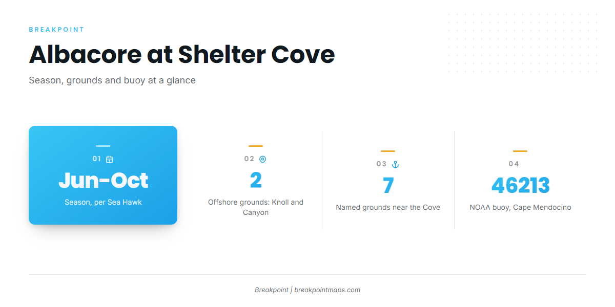
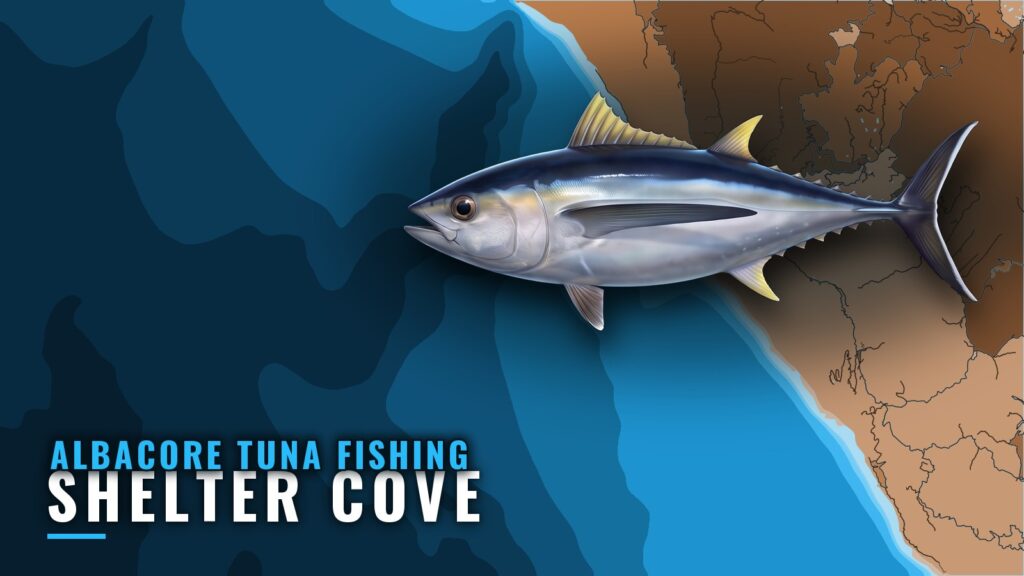
Albacore fishing out of Shelter Cove runs June through October, according to Sea Hawk’s season listing. The cove sits on the Lost Coast, on the south face of Point Delgada.
The albacore species guide covers how the fish behave, and albacore up the coast (see also the Pacific Northwest offshore fishing guide) gives the wider picture. This page stays with the port.
| Item | Detail |
|---|---|
| Season | June through October |
| Where boats run | Vizcaino Knoll and Vizcaino Canyon, offshore |
| Local method | Run to the break, fish it once located |
Where Shelter Cove boats run for albacore
Boats run offshore to Vizcaino Knoll and Vizcaino Canyon and look for the break from there. The fishing section below explains how that works.
Vizcaino Knoll
Vizcaino Knoll is an offshore albacore destination out of the Cove.
Vizcaino Canyon
Vizcaino Canyon is the second offshore run. Boats often name the Knoll and the Canyon together as the target.
Named grounds and structure near the Cove
These names come up around Shelter Cove:
- Vizcaino Knoll: offshore
- Vizcaino Canyon: offshore
- Rodgers Break: north of the Cove
- The Hat
- The Old Man
- Whistle Buoy sand flats
- Spanish Flat
The Knoll and the Canyon are the offshore runs. The others are names near the Cove.
How albacore are fished here, and who fishes them
Finding the break
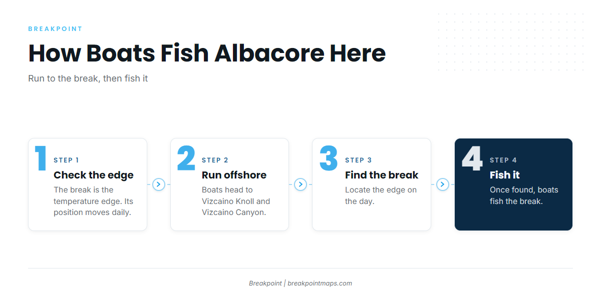
The break is the temperature edge that boats look for. They run out to it and fish it once they find it, which is the local method. Because the break moves, each day’s run depends on where it sits, and the Knoll and the Canyon are where boats head to look.
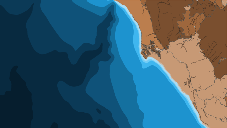
The OBS SST layer in Breakpoint shows where the temperature edge sits relative to the Knoll and the Canyon, and Chart Contours shows the bottom structure. Chart layers are not for navigation. Cloud can block a satellite pass, and the layer cannot see through it.
For lures and spreads, see our tuna fishing guides.
Who runs for albacore
Owner-operators run their own boats out of the Cove. Sea Hawk Sportfishing out of Shelter Cove is the local charter that lists albacore, so the choice is between running your own boat and booking that charter.
Reading conditions before the run
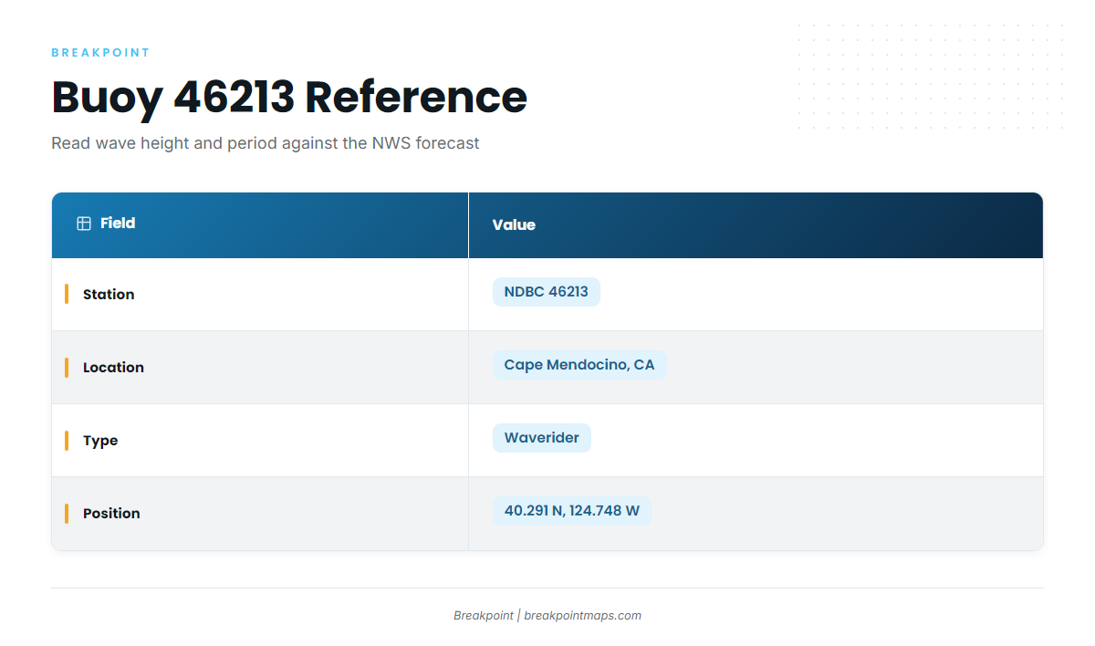
The nearest NOAA buoy is NDBC 46213, Cape Mendocino, a waverider.
| Field | Value |
|---|---|
| Station | NDBC 46213 |
| Location | Cape Mendocino, CA |
| Type | Waverider |
| Position | 40.291 N, 124.748 W |
The buoy reports wave height and period as numbers. Compare them with the forecast from the NWS Eureka forecast office before you commit to the run. A buoy reports a single point rather than the whole run, and a forecast can miss.
FAQ about albacore tuna fishing out of Shelter Cove
When is albacore season at Shelter Cove?
Sea Hawk lists June through October. Each day’s run depends on where the break sits.
Where do Shelter Cove boats go for albacore?
Boats run offshore to Vizcaino Knoll and Vizcaino Canyon, looking for the break.
Where is Rodgers Break?
Rodgers Break is north of the Cove. It is one of the local names, along with The Hat, The Old Man, Whistle Buoy sand flats and Spanish Flat.
What lures do locals use for albacore?
Local practice is to run to the break and fish it once found. For lures and rigs, see the tuna fishing guides linked above.
Is there a charter for albacore at Shelter Cove?
Sea Hawk Sportfishing lists albacore. The alternative is running your own boat out of the Cove.
Which buoy should I check before an offshore run?
NDBC 46213, Cape Mendocino, at 40.291 N, 124.748 W. Compare its wave height and period with the NWS forecast.