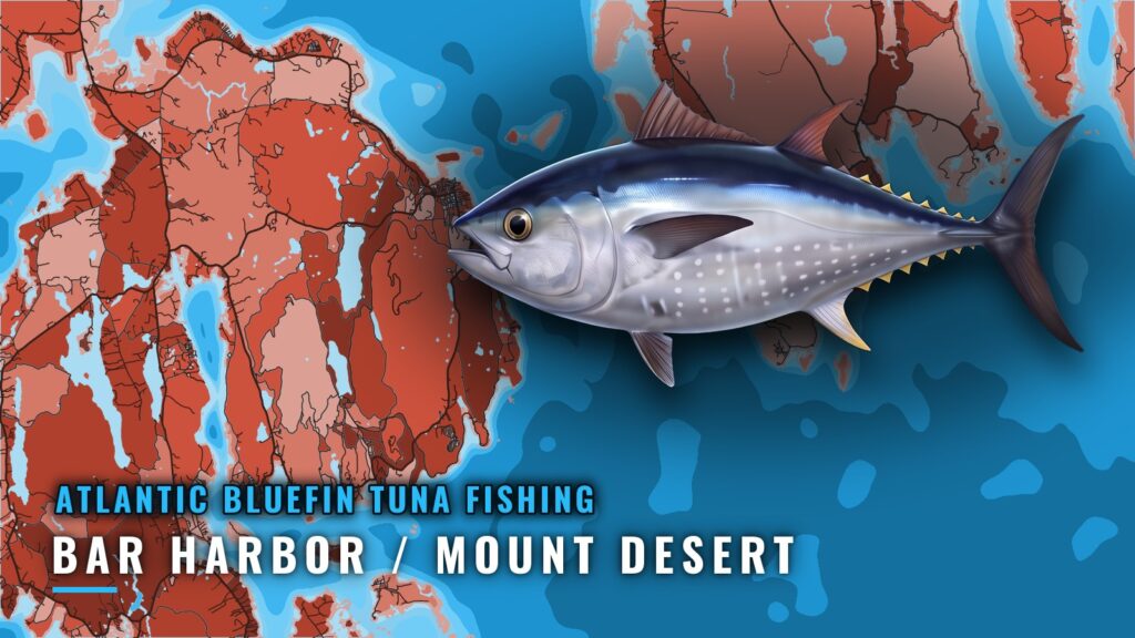
Atlantic bluefin tuna fishing out of Bar Harbor and Mount Desert
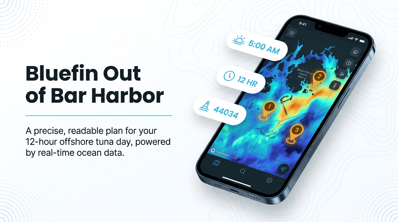
The tuna trip out of Bar Harbor and Mount Desert is a 12-hour offshore run from Clifton Dock in Northeast Harbor. It leaves at 5:00 AM and targets giant bluefin.
This page covers the departure point, the length of the day, the named water, the nearest buoy, and how the port’s tuna trip is fished, so you can plan your own run. For ramps, entrances, and conditions sources, use the Bar Harbor and Mount Desert port guide. We don’t promise fish. The aim is to help you decide where to look.
Where boats leave from
The port’s listed tuna trip departs Clifton Dock in Northeast Harbor, on the south shore of Mount Desert Island. Bar Harbor, on the northeast side, faces Frenchman Bay and belongs to the same port area. The listing doesn’t say how far offshore the run goes.
What a tuna day looks like
The listed trip starts at 5:00 AM and runs 12 hours offshore, putting the boat back around 5 PM. It targets giant bluefin and also tries to catch live bait and groundfish along the way. Fuel load, crew stamina, and daylight on the return all follow from that window, so plan the day backward from the dock time rather than forward from the first line in.
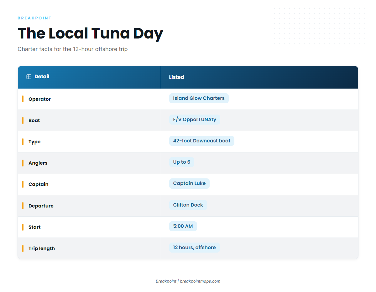
The table below is the local benchmark from Island Glow Charters, Fish Acadia. Use it for your own planning.
| Detail | Listed |
|---|---|
| Operator | Island Glow Charters, Fish Acadia |
| Boat | F/V OpporTUNAty |
| Length/type | 42-foot Downeast boat |
| Anglers | Up to 6 |
| Captain | Captain Luke |
| Departure | Clifton Dock, Northeast Harbor |
| Start | 5:00 AM |
| Trip length | 12 hours, offshore |
When the fish are here and how to read the water
Bluefin timing shifts with water and bait, so the species and regional pages cover it. Start with the Atlantic bluefin tuna species overview for biology and migration timing. For the Gulf of Maine picture, see bluefin across the Northeast (see also the Atlantic Northeast region guide).
Buoy 44034
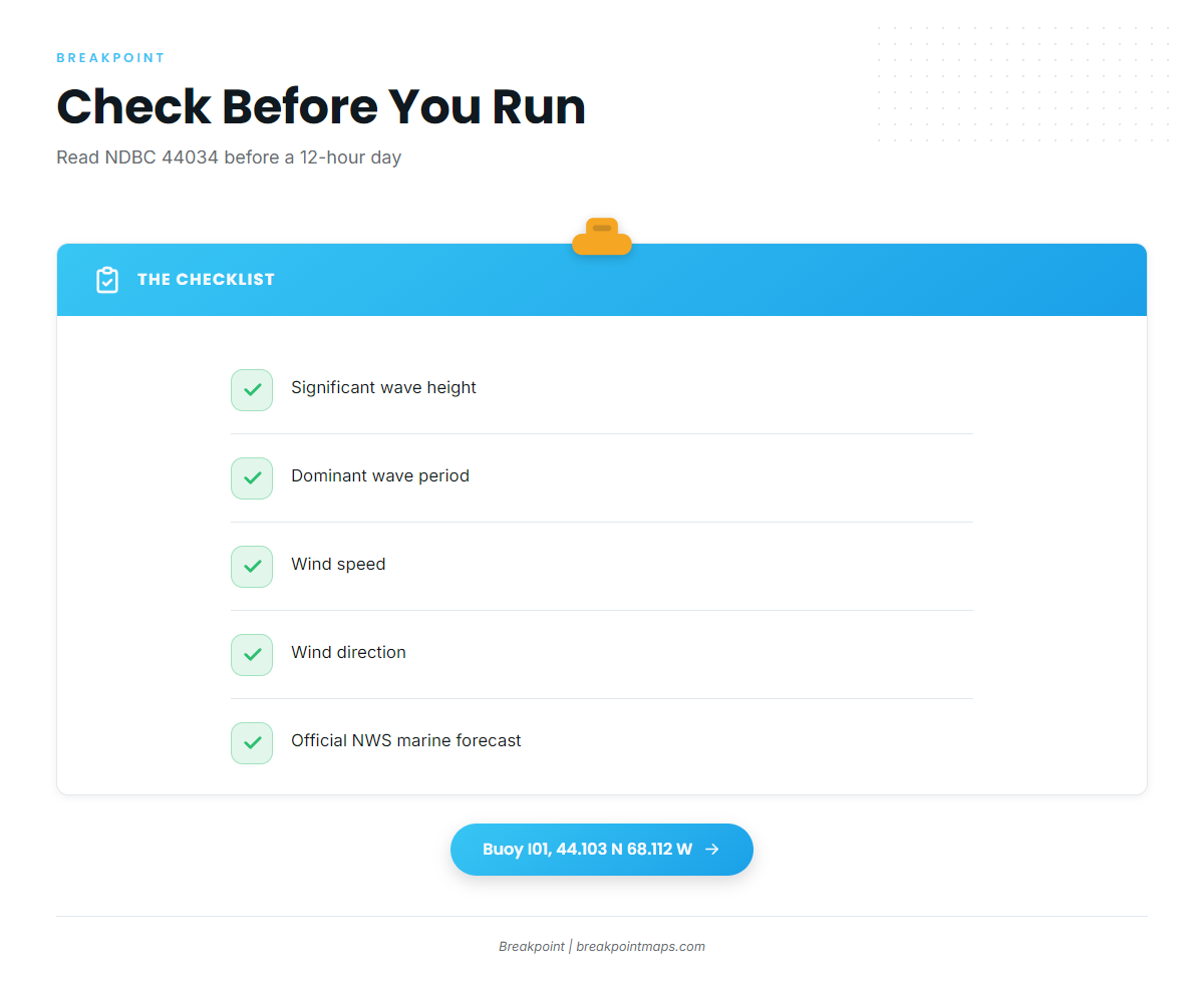
The nearest NOAA buoy to the port is NDBC buoy 44034, Buoy I01, on the Eastern Maine Shelf.
| Station | Name | Position | Water depth |
|---|---|---|---|
| NDBC 44034 | Buoy I01, Eastern Maine Shelf | 44.103 N 68.112 W | 100 m (about 328 ft) |
Check three readings before committing to a 12-hour day:
- Significant wave height. The size of the sea.
- Dominant wave period. Together with height, it describes the sea state you will run through.
- Wind speed and direction. Where conditions are heading.
Pair those numbers with the NWS marine forecast for Schoodic before you leave the dock. The buoy reports what the water is doing at its position, and the forecast covers what it is expected to do next.
Grounds and structure near Mount Desert
These named places around the port serve as local reference points for the water you will run through.
Egg Rock Light, Frenchman Bay
Egg Rock Light stands in Frenchman Bay, the water off Bar Harbor, and is a landmark you will see on the way out.
Sargent Drive, Somes Sound
Sargent Drive is a stretch of the Somes Sound shoreline on Mount Desert Island.
Frazer Point, Schoodic
Frazer Point is a point on the Schoodic Peninsula.
The Chart Contours layer in Breakpoint shows the depth changes around these three places. Chart layers are not for navigation.
How it is fished locally
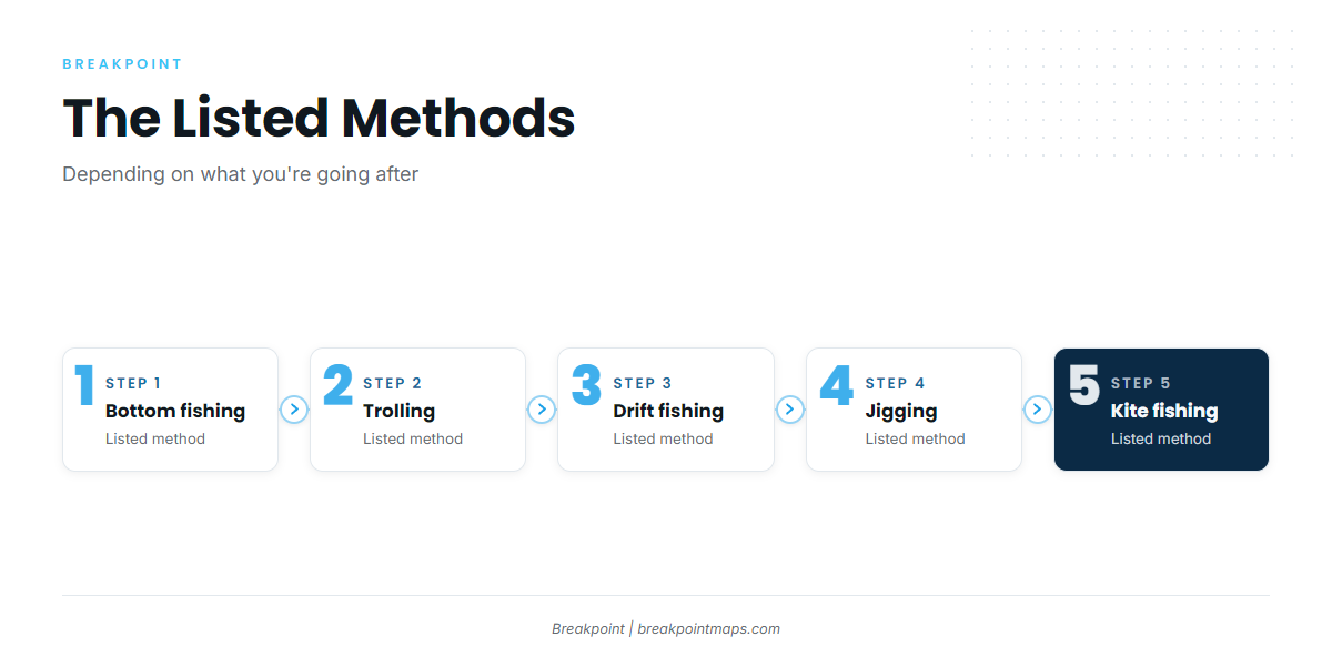
The listed trip combines a bluefin target with other work on the same day. The methods below come from the operator, and the listing doesn’t tie any of them to tuna.
Bait and groundfish first
The trip also tries to catch live bait and groundfish, so the day is built around bait first, with groundfish sharing the hours. On your own boat, budget gear and time for bait-catching.
Listed methods
The operator lists these methods, "depending on what you’re going after":
- Bottom fishing
- Trolling
- Drift fishing
- Jigging
- Kite fishing
None is named for tuna. For technique, see the Breakpoint guide to tuna trolling, kite and jigging techniques.
Giant bluefin as the target
The listing targets giant bluefin, which sets the scale of the gear, the crew, and the day. Size classes and retention are rules questions, covered in the next section.
FAQ about Atlantic bluefin tuna fishing out of Bar Harbor and Mount Desert
Where do bluefin tuna boats leave from on Mount Desert?
The port’s listed 12-hour offshore tuna trip departs Clifton Dock in Northeast Harbor and targets giant bluefin. The listing gives no run distance, so plan fuel and routing from your boat’s range rather than a published mileage.
How long is a tuna day out of Northeast Harbor?
The listed trip runs 12 hours from a 5:00 AM start, putting the boat back around 5 PM. It also tries for live bait and groundfish. Work backward from your return time for fuel and daylight.
What buoy should I check before running offshore?
Check NDBC buoy 44034, Buoy I01, on the Eastern Maine Shelf, at 44.103 N 68.112 W in 100 m (about 328 ft) of water. Read wave height, dominant wave period, and wind speed and direction, and compare them with the NWS marine forecast.
Who runs a Bar Harbor tuna charter?
Island Glow Charters, Fish Acadia, lists a giant bluefin trip aboard the F/V OpporTUNAty, a 42-foot Downeast boat for up to 6 anglers, under Captain Luke. The 12-hour trip leaves from Clifton Dock. This reports what is listed and is not an endorsement.
What methods are used for bluefin here?
The operator lists bottom fishing, trolling, drift fishing, jigging, and kite fishing, "depending on what you’re going after." None is tied to tuna in the listing. The trip’s stated target is giant bluefin, alongside live bait and groundfish.
Where do I find the rules for bluefin from this port?
Both Maine state rules and federal highly migratory species rules apply. Use the Maine regulations page and the federal Atlantic tunas rules page linked above, and check both before you fish. This page gives no limits or figures.