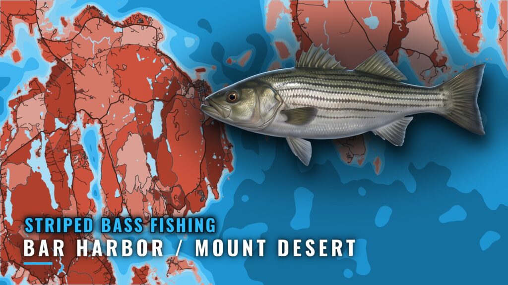
When striped bass are around Bar Harbor / Mount Desert
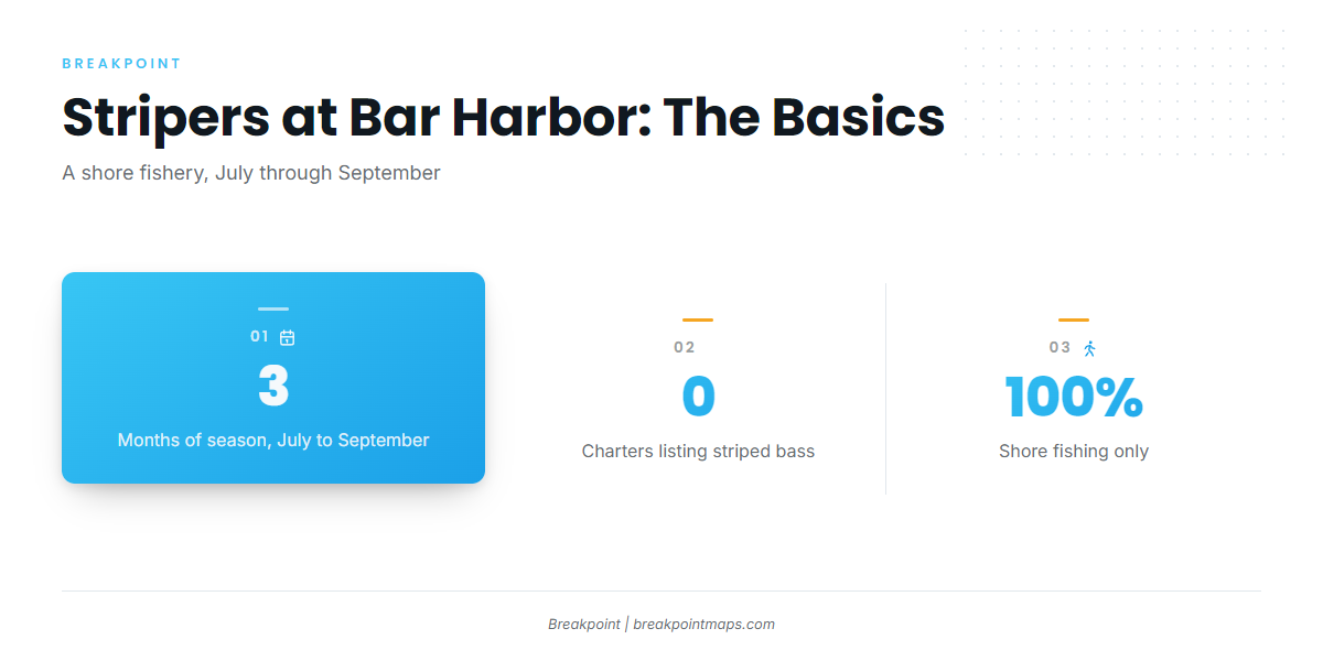
Striped bass fishing at Bar Harbor / Mount Desert is a shore fishery that runs July through September, and you walk to the fish rather than run to them. For the wider port picture, see Bar Harbor / Mount Desert. Anglers working the Sargent Drive and Somes Sound shoreline fish the July through September window. The general run and the fish themselves are covered in our striped bass guide.
Where boats run, and why this is a shore fishery
The striper water here is Sargent Drive and the Somes Sound shoreline. That is shore access in Acadia National Park, not a run out of the harbor, and no charter at this port lists striped bass.
The reason comes from a Maine charter guide, which says stripers show up seasonally in "rivers and estuaries rather than off the island’s outer shore." If you want stripers from a boat, the regional picture is in our Northeast striper guide (see also the Atlantic Northeast region guide).
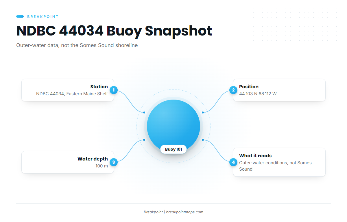
The nearest NOAA buoy is on the shelf, away from the shoreline:
| Item | Detail |
|---|---|
| Buoy | NDBC 44034 (Buoy I01, Eastern Maine Shelf) |
| Position | 44.103 N 68.112 W |
| Water depth | 100 m |
The buoy sits in 100 m of water and describes outer-water conditions rather than the shoreline along Somes Sound. Read the wind, wave height and period at the buoy, then check the official NWS marine forecast before you head out.
Grounds and structure near Bar Harbor / Mount Desert
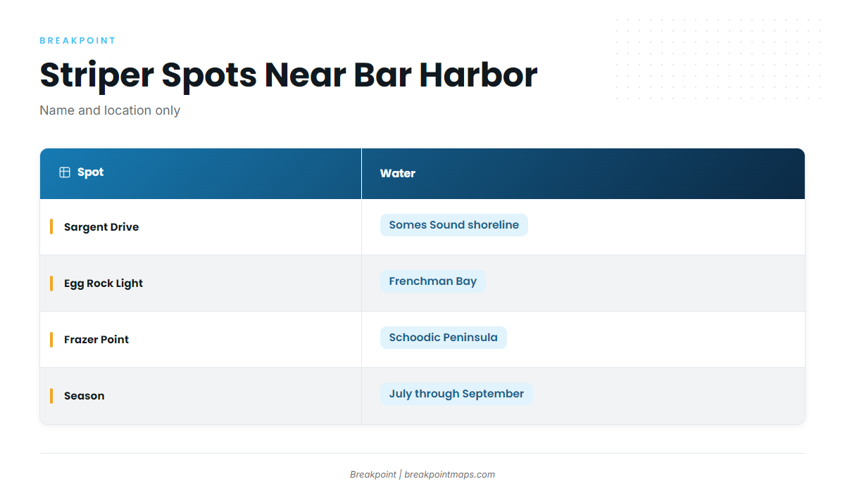
Three named places frame the fishery: Sargent Drive on Somes Sound, Egg Rock Light in Frenchman Bay, and Frazer Point on the Schoodic Peninsula.
| Ground | Waters | Role |
|---|---|---|
| Sargent Drive | Somes Sound shoreline | Shore access in Acadia National Park |
| Egg Rock Light | Frenchman Bay | Named structure near Bar Harbor |
| Frazer Point | Schoodic Peninsula | Named shore spot |
Sargent Drive, Somes Sound shoreline
Sargent Drive runs along the Somes Sound shoreline. It is shore access in Acadia National Park, fished July through September.
Egg Rock Light, Frenchman Bay
Egg Rock Light sits in Frenchman Bay, near Bar Harbor.
Frazer Point, Schoodic Peninsula
Frazer Point is on the Schoodic Peninsula.
How it is fished and who fishes for them
Striped bass here are fished from shore by anglers on foot, not from a charter deck. The hook rule for bait is in the Regulations section below.
- Method: shore fishing
- Who: shore anglers
- Season: July through September
FAQ: striped bass fishing out of Bar Harbor / Mount Desert
Can you catch stripers from a boat out of Bar Harbor?
No. Striped bass fishing here is from shore, July through September, along Sargent Drive and the Somes Sound shoreline. A Maine charter guide places stripers in rivers and estuaries rather than off the island’s outer shore.
When are stripers around Mount Desert?
July through September. Because the fishery is shore-only, plan to fish from the Somes Sound shoreline rather than run to a ground.
Do charters offer striped bass fishing out of Bar Harbor / Mount Desert?
No. No charter at this port lists striped bass. If you run your own boat, the coastal and offshore gamefish guides point you to the fisheries that do work from a boat.
Where do people fish for them?
From shore along Sargent Drive and the Somes Sound shoreline in Acadia National Park. Egg Rock Light in Frenchman Bay and Frazer Point on the Schoodic Peninsula are the other named places nearby.
Where do I check the conditions and rules?
For conditions, use NDBC buoy 44034 on the Eastern Maine Shelf, 44.103 N 68.112 W, in 100 m of water. It reads outer water, not Somes Sound, so pair it with the official NWS marine forecast. For rules, go to Maine DMR.