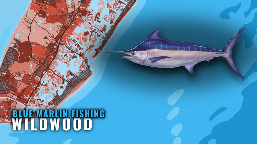
Blue marlin fishing out of Wildwood means a summer run to the New Jersey offshore canyons. This guide covers the months, the canyons, the named structure you pass on the way out, and the buoy to read before you go.
When blue marlin are off Wildwood
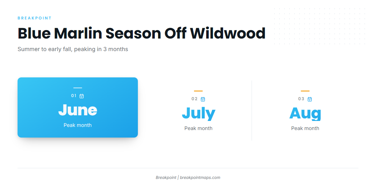
June, July and August are the best months. The overall season runs from summer into early fall, and blue marlin are in the offshore waters of southern New Jersey across that whole stretch.
Peak months
Plan around June, July and August, which carry the best blue marlin fishing from this port.
The wider window
The season extends past the peak, from summer into early fall, so fish remain offshore for that entire span.
Where Wildwood boats run
Boats run to the New Jersey offshore canyons, and targets go by canyon name. The Atlantic Northeast blue marlin guide (see also the wider Atlantic Northeast guide) covers the regional canyon fishery. This section covers the grounds an owner-operator out of Wildwood plans around.
Wilmington Canyon
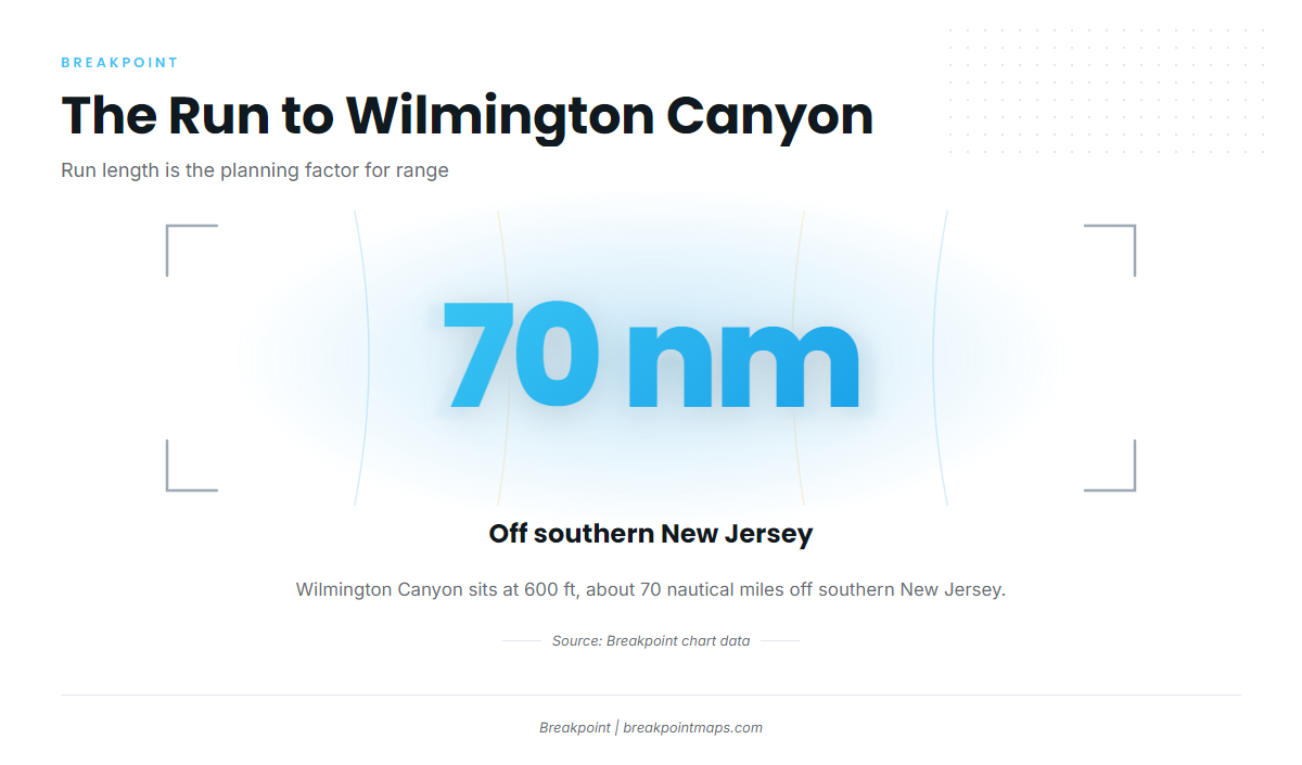
Wilmington Canyon sits at 600 ft, about 70 nautical miles off southern New Jersey. That distance sets your range, so size your fuel and your day to it.
Spencer Canyon
Spencer Canyon is another named canyon on this stretch of the southern New Jersey shelf.
The Over Under from Avalon
Lindenkohl Canyon and Carteret Canyon make up the Over Under, which boats reach from Avalon.
Who fishes them and how
Anglers running their own boats make the canyon run from this port, and boats from Avalon work the Over Under. For trolling and rigging, read the blue marlin fishing guide.
Named structure near Wildwood
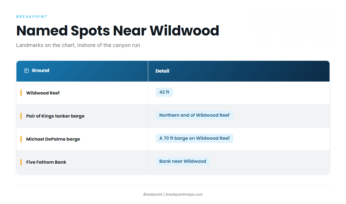
These are the named spots on the chart near Wildwood, inshore of the canyon run.
| Ground | Depth | Location note |
|---|---|---|
| Wildwood Reef | 42 ft | |
| Pair of Kings tanker barge | Northern end of Wildwood Reef | |
| Michael DePalma barge | 70 ft barge | On Wildwood Reef |
| Five Fathom Bank |
These spots and the canyon edges show on Breakpoint’s Chart Contours layer, with OBS SST for surface temperature. Chart layers are not for navigation.
Wildwood Reef
Wildwood Reef sits at 42 ft.
Pair of Kings tanker barge
The Pair of Kings tanker barge is on the northern end of Wildwood Reef.
Michael DePalma barge
The Michael DePalma barge is a 70 ft barge on Wildwood Reef.
Five Fathom Bank
Five Fathom Bank is a named bank near Wildwood.
Reading Cape May conditions before the run
The nearest NOAA station is CMAN4 (station 8536110) at Cape May, NJ, 38.968 N 74.960 W. Read these three numbers:
- Wind speed and direction
- Wave height
- Wave period
CMAN4 reports conditions at Cape May, not at the canyon edge 70 nautical miles off. It reads one point on the Cape May peninsula, so check the National Weather Service marine forecast before you run offshore.
FAQ about blue marlin fishing out of Wildwood
Can you catch blue marlin out of Wildwood?
Yes. Blue marlin fishing out of Wildwood means a run to the New Jersey offshore canyons. Wilmington Canyon is one of the named targets, and June, July and August are the best months. Nothing guarantees a fish. For other billfish off this coast, see the billfish guides.
What months are best for blue marlin off Wildwood?
June, July and August are the best months, within a wider season that runs from summer into early fall.
How far offshore is Wilmington Canyon?
Wilmington Canyon is about 70 nautical miles off southern New Jersey, at 600 ft. Boats from Avalon also run to Lindenkohl and Carteret canyons, the Over Under.
How deep is Wildwood Reef?
Wildwood Reef is 42 ft. The Pair of Kings tanker barge sits on its northern end, and the 70 ft Michael DePalma barge is on the reef.
Which buoy covers Cape May?
NOAA CMAN4, station 8536110, at 38.968 N 74.960 W. Read wind, wave height and period. It reports Cape May, not the canyons, so check the National Weather Service marine forecast too.