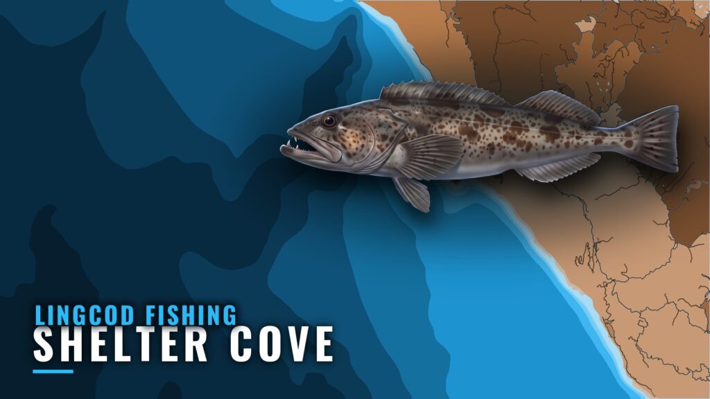
This guide covers lingcod fishing out of Shelter Cove for anglers running their own boat: where boats run, the named grounds, the buoy to read, and the charter that fishes them. The Shelter Cove port page has the launch and wider conditions for this stretch of the Lost Coast in Humboldt County. By the end you should know the run targets, which station to watch, and the charter option. The wider picture is in the Pacific Northwest region guide.
Where boats run out of Shelter Cove
Boats out of Shelter Cove run to The Hat and the Old Man, and to the Whistle buoy area. Know those names before you leave the dock.
The Hat and the Old Man
The Hat and the Old Man are named runs out of Shelter Cove, and boats fish them as a pair. Place both on a chart before you leave.
The Whistle buoy area
The Whistle buoy area is the other named run. The Whistle Buoy sand flats are covered in the grounds section below.
Numbers to read before the run (46213)
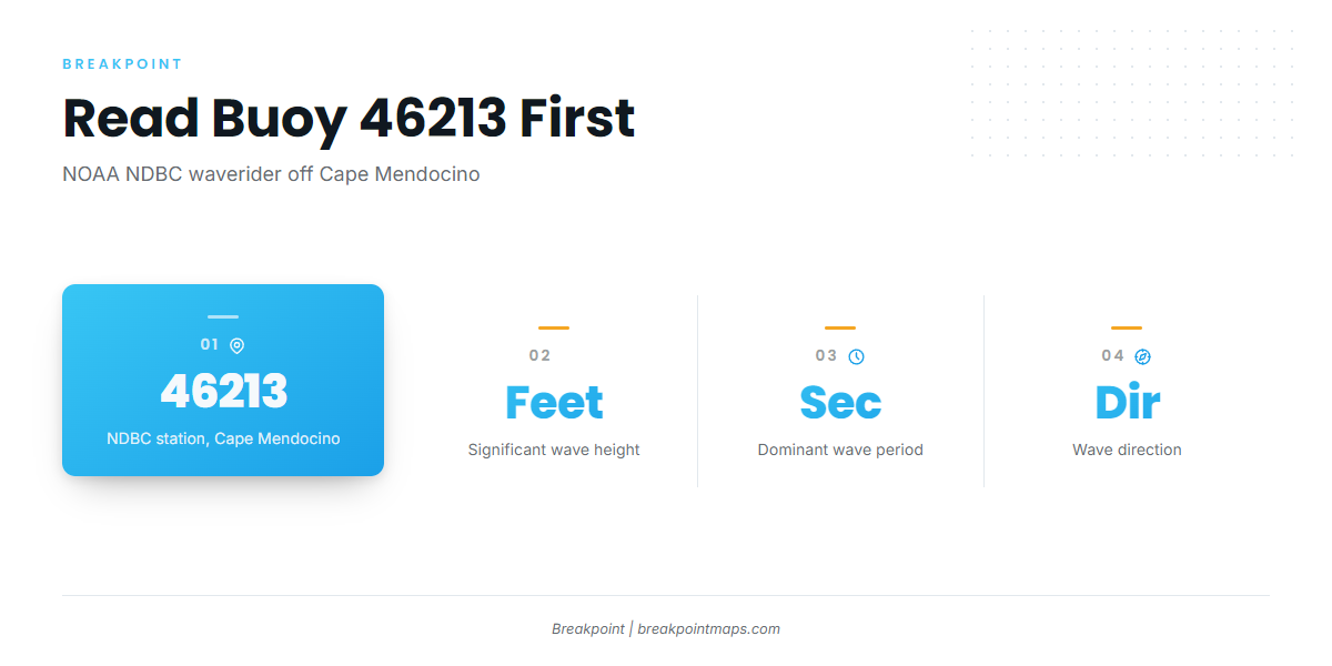
The nearest NOAA buoy is NOAA NDBC station 46213, Cape Mendocino, a waverider at 40.291 N, 124.748 W. Read three values from it:
- Significant wave height, in feet
- Dominant wave period, in seconds
- Wave direction
Station 46213 reads the open coast off Cape Mendocino, north of the port, and does not see the water inside the cove. Compare its readings against the marine forecast from the NWS Eureka forecast office, and keep in mind that a forecast can be wrong.
Grounds and structure off Shelter Cove
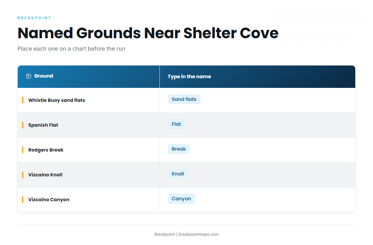
These are the named grounds and structure near Shelter Cove.
| Ground | Type in the name |
|---|---|
| Whistle Buoy sand flats | Sand flats |
| Spanish Flat | Flat |
| Rodgers Break | Break |
| Vizcaino Knoll | Knoll |
| Vizcaino Canyon | Canyon |
Whistle Buoy sand flats and Spanish Flat
The Whistle Buoy sand flats connect to the Whistle buoy run above. Spanish Flat is the other flat on the list.
Rodgers Break
Rodgers Break lies north of the Cove.
Vizcaino Knoll and Vizcaino Canyon
Vizcaino Knoll and Vizcaino Canyon are the deeper offshore features, a knoll and a canyon by name. Approaches for structure like this are covered in the methods section below.
How lingcod are fished from Shelter Cove
Sea Hawk Sportfishing supplies all gear and bait on its trips. Rigs, jigs, and bait for lingcod are in our lingcod fishing guide. For the deeper structure at Vizcaino Knoll and Vizcaino Canyon, see the deep-drop bottom fishing guides.
Chart layers such as Chart Contours help you place the named grounds before the run. They are not for navigation.
Who fishes lingcod out of Shelter Cove
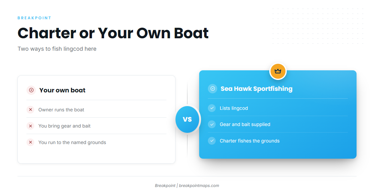
Two groups fish lingcod here: private boats run by their owners, and Sea Hawk Sportfishing. Sea Hawk lists lingcod and supplies all gear and bait.
The practical difference:
- On the charter: gear and bait come with the trip.
- On your own boat: you bring them and run to the named grounds yourself.
FAQ about lingcod fishing out of Shelter Cove
Where do boats run for lingcod fishing out of Shelter Cove?
Boats run to The Hat, the Old Man, and the Whistle buoy area. Place all three on a chart before you leave.
Which buoy should I check before running out of Shelter Cove?
Check NOAA NDBC station 46213, Cape Mendocino, a waverider at 40.291 N, 124.748 W. Read wave height, period, and direction. It reads the open coast north of the port, not the water inside the cove, so check the NWS forecast as well.
Does Sea Hawk Sportfishing supply gear and bait?
Yes. Sea Hawk Sportfishing supplies all gear and bait.
Where do I find the lingcod season and limits for Shelter Cove?
Use the state regulations page, which points to CDFW. Check it before fishing.
Where is Rodgers Break?
North of the Cove. Place it with Chart Contours before the run, and remember that chart layers are not for navigation.