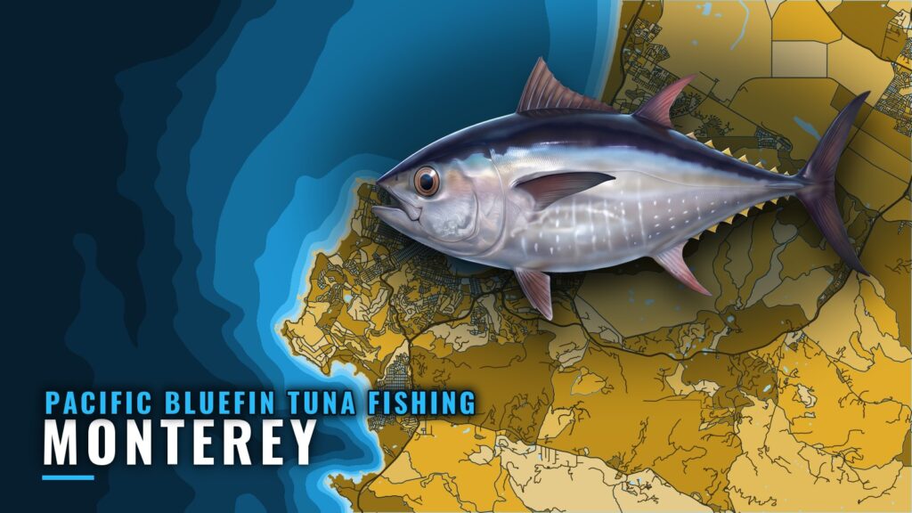
Pacific bluefin tuna fishing out of Monterey has no fixed season, and the reported grounds sit well offshore. This page covers where boats run, which buoy to read, the local structure, and the method that has produced a strike. For harbor, ramp and conditions context, see Monterey. For biology and general behavior, see the Pacific bluefin tuna species guide.
When bluefin are off Monterey
There is no fixed season. Reports of fish and offshore condition numbers decide the trip, not the calendar.
Check the Monterey tuna report and reports from other boats before you commit fuel and a day. A buoy reports wind and sea, not fish. The numbers tell you whether the run is worth making, and the reports tell you whether there is anything to run to.
Where boats run from Monterey
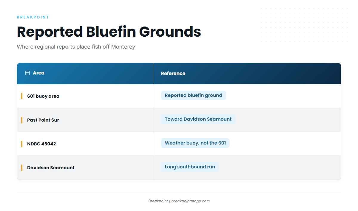
Regional reports (see also the Pacific Southwest fishing guide) name two offshore areas. Treat both as reported grounds, not guaranteed spots.
The 601 buoy area
The 601 weather buoy area is a reported bluefin ground. "601" is a fishing reference used in reports. It is not NDBC 46042, the NOAA buoy covered below.
South past Point Sur toward Davidson Seamount
Farther south, reports put fish past Point Sur toward the Davidson Seamount. That is a long southbound commitment, so plan fuel and the return leg before you leave the harbor.
Reading NDBC 46042
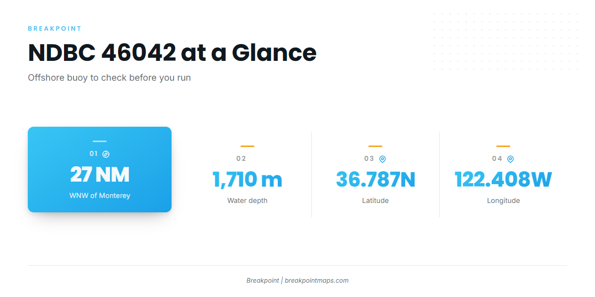
The nearest NOAA buoy gives a real-time offshore reading in deep water, out where the long runs go, rather than a harbor-side read.
| Item | Value |
|---|---|
| Station | NDBC 46042 |
| Distance | 27 NM WNW of Monterey |
| Position | 36.787N 122.408W |
| Water depth | 1,710 m |
Check wind, wave height and period, and compare those numbers with the NWS Coastal Waters Forecast before you decide. Chart layers and this guide are not for navigation.
Grounds and structure near Monterey
These are the named local marks and structure. The offshore bluefin reports sit farther out, as covered above.
| Name | Type | Depth |
|---|---|---|
| Monterey Harbor Light 6 | Breakwater end | Not given |
| Point Pinos | Deep canyon waters and deep reefs | Not given |
| Point Pinos to Carmel and Pescadero Point | Rocky coast and reefs | Not given |
| Carmel Bay | Named local ground | Not given |
| Lopez Point | Coastal structure | Not given |
| Del Monte Beach to Sand City | Shell beds and sand flats | 30 to 70 ft |
Monterey Harbor Light 6
Light 6 sits at the end of the breakwater and is the departure mark for every run.
Point Pinos
Deep canyon waters and deep reefs lie off the point, the closest deep water to the harbor.
Point Pinos to Carmel and Pescadero Point
Rocky coast and reefs run between Point Pinos and Carmel, out to Pescadero Point.
Carmel Bay
Carmel Bay is a named local ground, south of the point.
Lopez Point
Lopez Point is named structure along the coast to the south.
Del Monte Beach to Sand City
This stretch has shell beds and sand flats in 30 to 70 ft. It is the inshore halibut ground close to the harbor and is not a tuna ground.
How Pacific bluefin tuna are fished out of Monterey and who fishes them
The local method is high-speed trolling, which takes patience.
Trolling Mad Macs at 11 knots
J&M’s crew trolled Mad Mac lures at 11 knots, a speed that covers ground quickly while you search.
Nearly four hours, then about 45 minutes
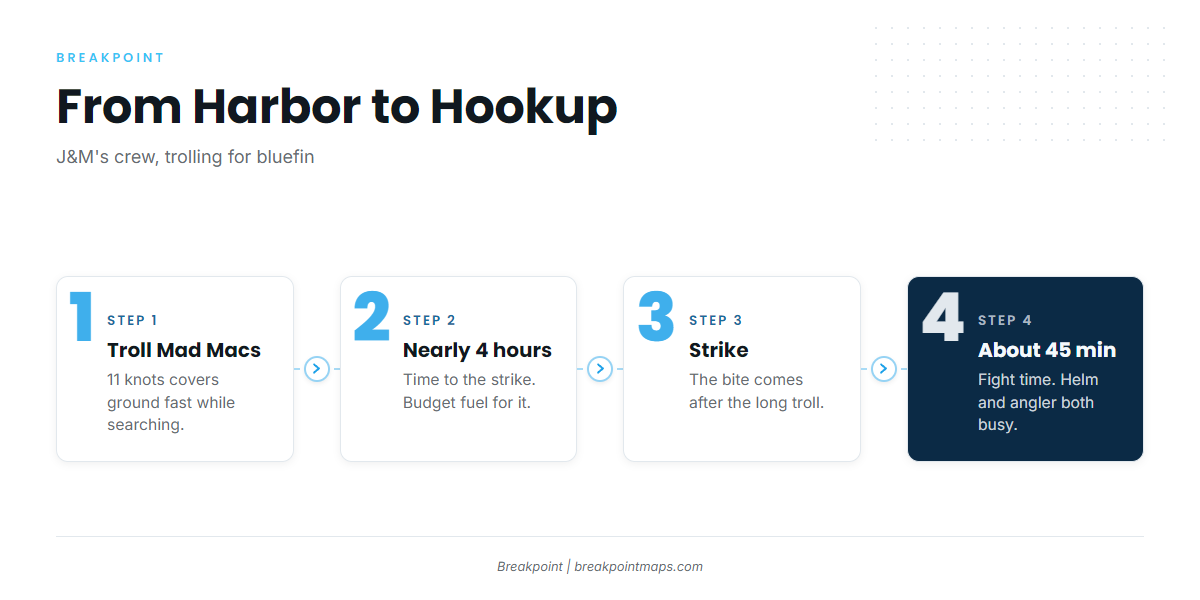
The strike came after nearly four hours, and the fight lasted about 45 minutes. Two things follow:
- Budget fuel and time. Plan for long troll hours before any strike.
- Assign crew roles before you leave. A 45-minute fight keeps both the helm and the angler occupied.
Who fishes them from this port
Private boats and J&M’s crew fish for bluefin out of Monterey.
FAQ: Monterey bluefin tuna
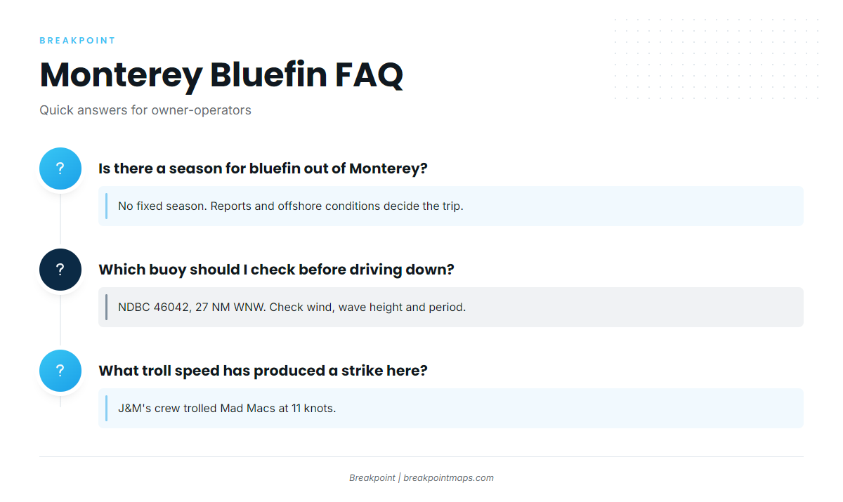
Is there a season for Pacific bluefin tuna fishing out of Monterey?
No fixed season. Reports and offshore conditions decide the trip.
How far do boats run for bluefin from Monterey?
Reported grounds include the 601 weather buoy area and, farther south, past Point Sur toward Davidson Seamount.
Which buoy should I check before driving down?
NDBC 46042, 27 NM WNW of Monterey at 36.787N 122.408W in 1,710 m of water. Check wind, wave height and period alongside the official forecast.
What troll speed has produced a bluefin strike here?
J&M’s crew trolled Mad Macs at 11 knots.
How long can it take to hook and land one?
In J&M’s case, nearly four hours to a strike, then about 45 minutes on the fish.
Where are guides for other tuna species and ports?
You will find them in our tuna fishing guides.