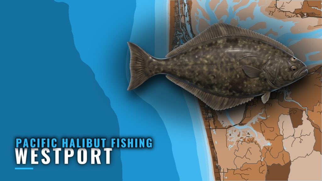
Pacific halibut fishing out of Westport means a long run to deep water on the edge of the continental shelf, where the main grounds sit about 700 ft down. This page covers the bar, the depth ladder from 180 ft to 700 ft, the named grounds, the local method and the charters that fish this water. For the fish itself, see the Pacific halibut guide. For the whole coast, see the Pacific Northwest fishing guide.
When halibut are around Westport
Halibut openers from Westport are short and set each year. WDFW announces the open days, and a fishery can close when its allocation is reached. The Regulations section below shows where those dates live. Because the window is narrow, plan the boat, the crew and the bar timing before the open days are posted.
How far boats run from Westport
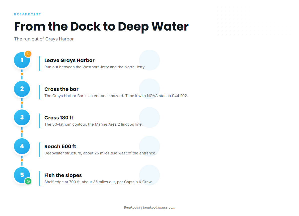
The halibut slopes sit about 35 miles out, per Captain & Crew. Between the dock and that edge, the water steps down in depth and distance.
Leaving through the Grays Harbor Bar
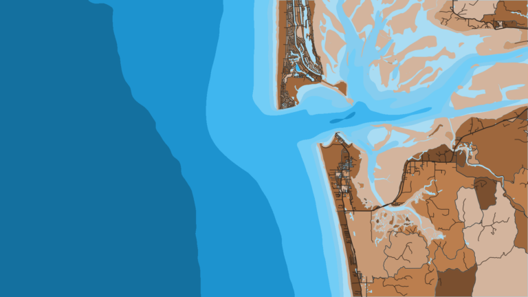
Boats leave Grays Harbor between two jetties: the Westport Jetty at Westport Light State Park, and the North Jetty near Ocean Shores. The Grays Harbor Bar between them is an entrance hazard.
Time the crossing against NOAA tide station 9441102 at Westport, and check the official marine forecast for wind, wave height and period before you leave. Launch, marina and bar-reading details are in the Westport port guide.
Distances to the deep water
Deepwater structure sits about 25 miles due west of the Grays Harbor entrance, at 500 ft. The halibut slopes on the edge of the continental shelf are generally about 35 miles out per Captain & Crew, at 700 ft.
Grounds and structure that hold halibut
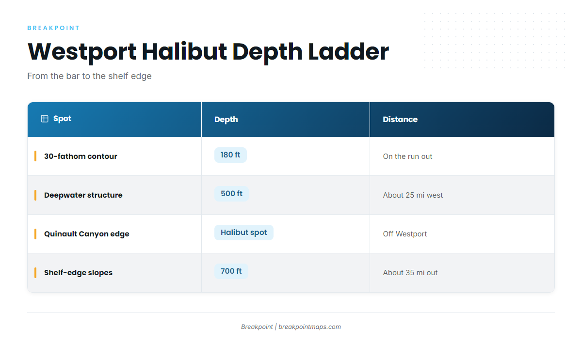
The grounds step down from 180 ft at the 30-fathom contour to about 700 ft at the shelf edge.
| Spot | Depth | Distance |
|---|---|---|
| Grays Harbor Bar (entrance hazard) | ||
| 30-fathom contour (Marine Area 2 lingcod line) | 180 ft | |
| Deepwater structure | 500 ft | About 25 miles due west of the Grays Harbor entrance |
| Quinault Canyon edge | ||
| Halibut slopes, continental shelf edge | 700 ft | About 35 miles out, per Captain & Crew |
The 30-fathom contour
The 30-fathom contour sits at 180 ft. It is the Marine Area 2 lingcod line, and boats cross it on the run out. Check the Regulations section below before you keep lingcod.
Deepwater structure 25 miles west
This structure at 500 ft, about 25 miles due west of the Grays Harbor entrance, is the first deep water on the run. It sits inside the 35-mile slopes.
The Quinault Canyon edge
The Quinault Canyon edge is a named halibut spot off Westport.
The shelf-edge halibut slopes
These slopes sit at 700 ft, generally about 35 miles out per Captain & Crew, and are the main halibut ground on this run.
Chart contours and saved waypoints can help you return to the 500 to 700 ft slopes on the next open day. Chart layers are not for navigation.
Where the albacore blue water zone starts
Operators quote the albacore blue water zone at 35 to 70 miles offshore, past the shelf edge.
How halibut are fished locally
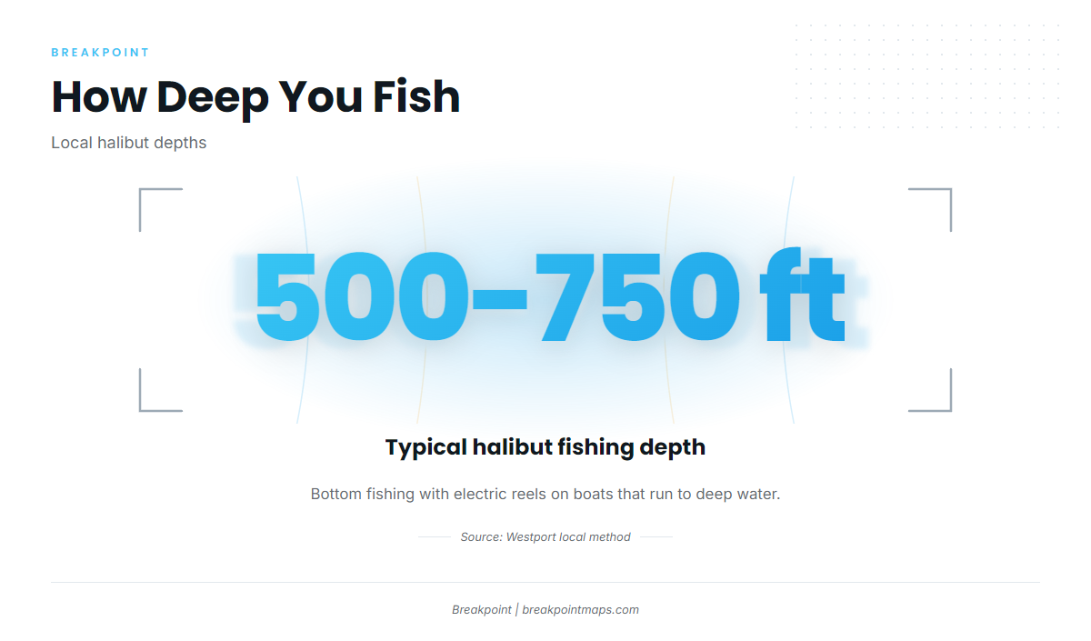
Halibut here are taken by bottom fishing with electric reels, on boats that run to deep water, often 500 to 750 ft. That matches the run described above: the 500 ft structure first, then the 700 ft slopes.
Electric reels
Electric reels are the local tool for bringing gear back from deep water. Weights, leaders and setup are covered in our guide to deep-drop rigging.
Who fishes for halibut out of Westport
Six charters list Pacific halibut trips out of Westport.
Charters
- Mutineer Charters: fleet of Fury, Gold Rush, Hot Pursuit, Reel Electric, Slammer and Stardust.
- Gold Rush Charters: boat based on Float 8.
- Tequila Too Sportfishing: lists deckhand Joel among its crew.
- Captain & Crew Charters: albacore boat The Swifty, which takes up to 10 people. This is the source of the roughly 35-mile run figure.
- Deep Sea Sportfishing: fleet of Ultimate, Comeback, El Matador, Sundance and Blitz.
- Far Corners Adventures: 31 foot purpose-built vessel.
Westport Fishing Derby
The Westport Fishing Derby is the halibut tournament out of this port.
FAQ about Pacific halibut fishing out of Westport
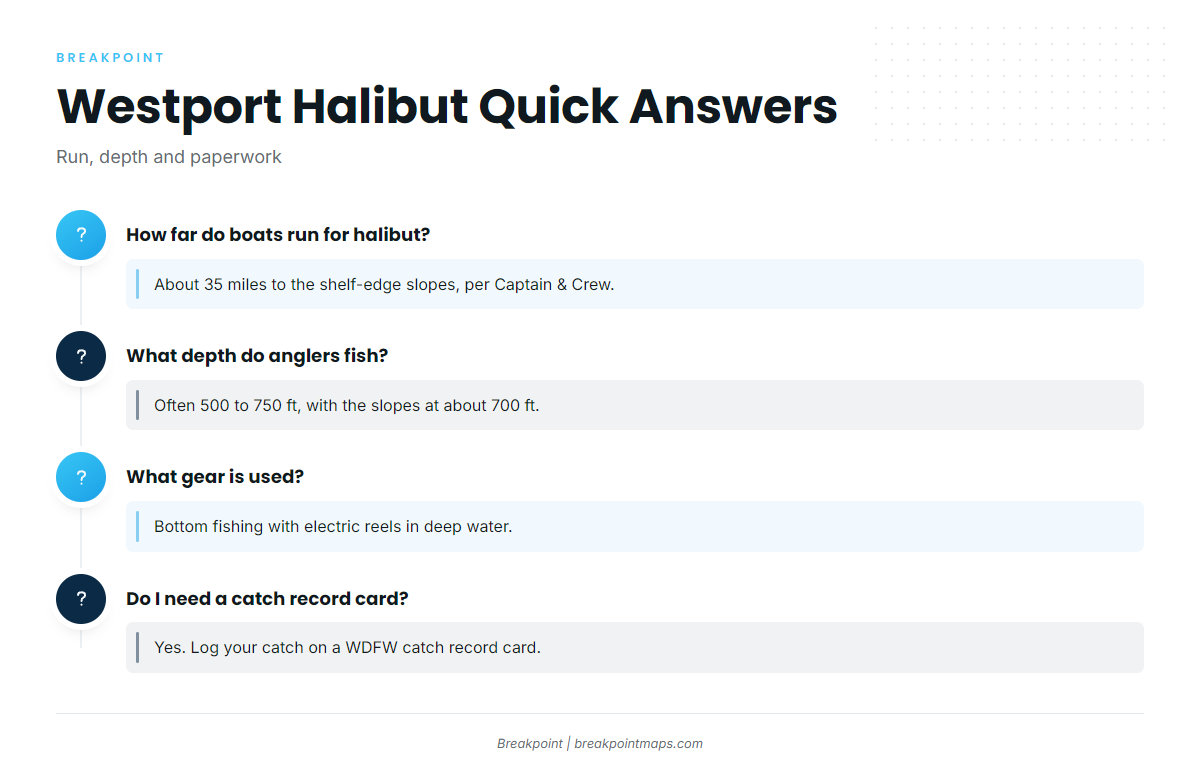
How far do boats run for halibut out of Westport?
About 35 miles to the halibut slopes on the edge of the continental shelf, per Captain & Crew. Deepwater structure at 500 ft sits about 25 miles due west of the Grays Harbor entrance. Both are reached through the Grays Harbor Bar.
What depth do Westport anglers fish for halibut?
Often 500 to 750 ft, with the shelf-edge halibut slopes at about 700 ft. The depth ladder runs from 180 ft at the 30-fathom contour, to 500 ft at the deepwater structure, to 700 ft at the slopes.
What gear is used for halibut out of Westport?
Bottom fishing with electric reels, on boats that run to deep water, often 500 to 750 ft.
Do I need a catch record card for halibut from Westport?
Yes. Anglers must log catch on a WDFW catch record card. Check WDFW before fishing for current requirements.
Which charters run halibut from Westport?
Six charters list Pacific halibut: Mutineer Charters, Gold Rush Charters, Tequila Too Sportfishing, Captain & Crew Charters, Deep Sea Sportfishing and Far Corners Adventures.
Where can I check the tide for the Grays Harbor Bar?
NOAA tide station 9441102 at Westport. The bar is an entrance hazard. Check the official marine forecast for wind, wave height and period before crossing.