Sailfish fishing out of Sneads Ferry is a full-day trolling trip. Boats leave through New River Inlet and fish the 20-45 mile range toward the Gulf Stream. This guide covers the run distance, the departure reference, the named grounds near the port, how the fish are worked and who fishes for them from here.
When sailfish are around Sneads Ferry
Pelagic Hunter lists sailfish on its full-day trips but gives no season. For timing along this coast, use sailfish timing along the Atlantic Southeast (see also the Atlantic Southeast fishing guide) and plan your dates from that regional guide rather than from this port page.
How far boats run
Distance sets your fuel use, your running time and the length of the day, so plan the rest of the trip around it.
The 20-45 mile range
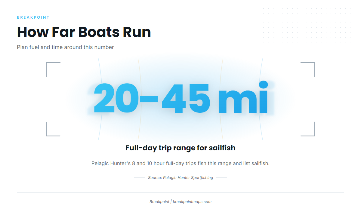
Pelagic Hunter’s 8 and 10 hour full-day trips fish the 20-45 mile range and list sailfish. That is the sailfish water out of this port. It is a full-day trip for a private boat as well, so allow for the run out and the run back.
| Trip length | Range fished |
|---|---|
| 8 hour | 20-45 miles |
| 10 hour | 20-45 miles |
Leaving from the sea buoy
The New River Inlet sea buoy area is the usual reference for measuring the run offshore. From there you head out into Onslow Bay and on toward the Gulf Stream. Before you go, read the official NOAA marine forecast for your run and plan from the numbers: wind, wave height and period.
Grounds and structure near Sneads Ferry
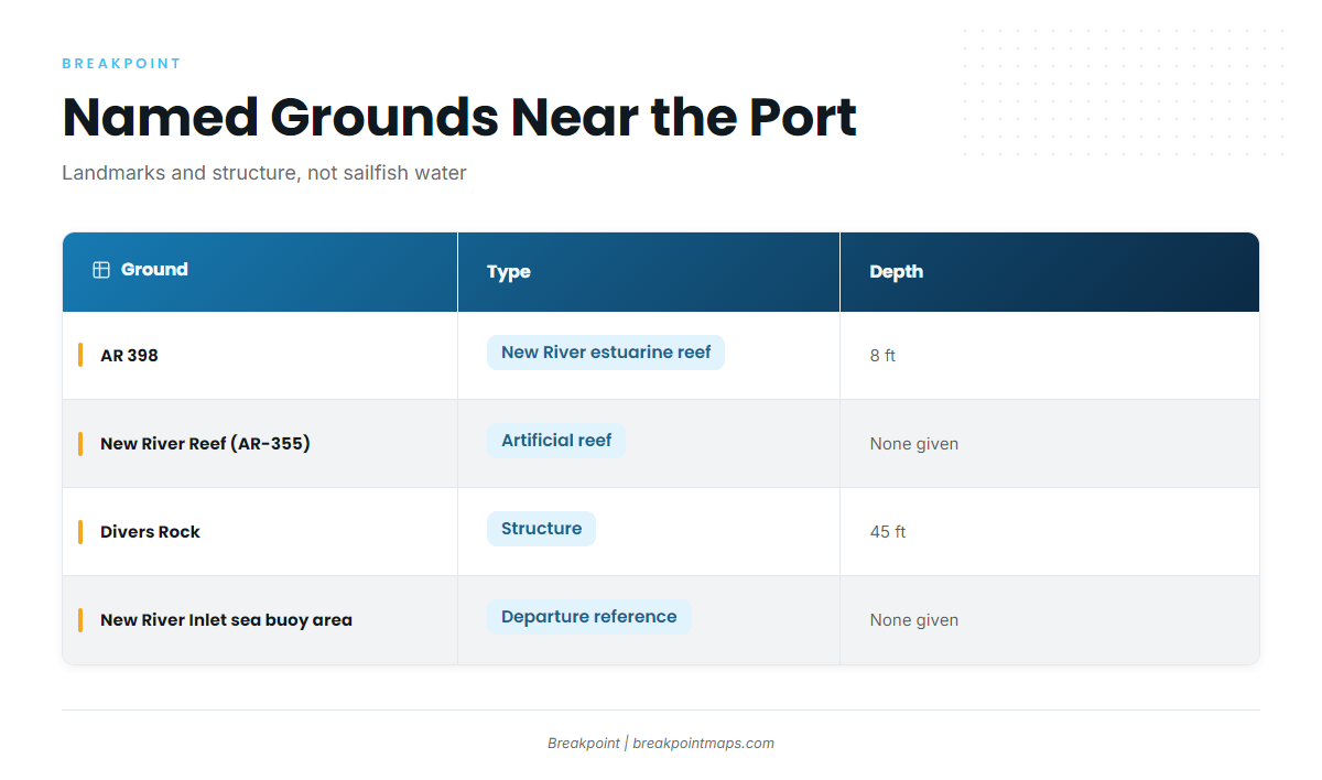
These are the named grounds near the port. The sailfish water is the trolling range further out, so use this structure for landmarks and orientation. It is not where the sailfish are.
| Ground | Type | Depth |
|---|---|---|
| AR 398 | New River estuarine reef | 8 ft |
| New River Reef (AR-355) | artificial reef | none given |
| Divers Rock | structure | 45 ft |
| New River Inlet sea buoy area | departure reference | none given |
You can view the named reefs and depths on the Chart Contours layer in Breakpoint. Chart layers are not for navigation.
AR 398
An estuarine reef in the New River at 8 ft. It works as an orientation landmark on the way to the inlet and is not sailfish water.
New River Reef (AR-355)
Named artificial reef structure near the port, on the way out. Use it as a reference point as you leave.
Divers Rock
Named structure at 45 ft.
New River Inlet sea buoy area
The departure reference from which the 20-45 mile run is measured.
How sailfish are fished here
Trolling is the local method, so the day is built around working baits behind the boat once you reach the Gulf Stream range.
Trolling the Gulf Stream
Pelagic Hunter’s Gulf Stream trip description names trolling as the local method. For spreads, baits and technique for sailfish, see the species guide, which carries the rigging detail this page leaves out.
Who fishes for sailfish from Sneads Ferry
Charter operations are the visible sailfish effort out of this port, and one of them lists the species on its full-day trips.
Pelagic Hunter Sportfishing
Pelagic Hunter Sportfishing’s full-day trips are run by Capt. John C. Cruise III. The operation lists sailfish on its 8 and 10 hour trips, and news coverage names the boat Pelagic Hunter II.
If you are weighing a charter against running your own boat, the wider billfish picture can help frame the choice. No trip promises a fish, but a charter shows you how the run and the day are worked before you commit your own boat to it.
FAQ: sailfish fishing out of Sneads Ferry
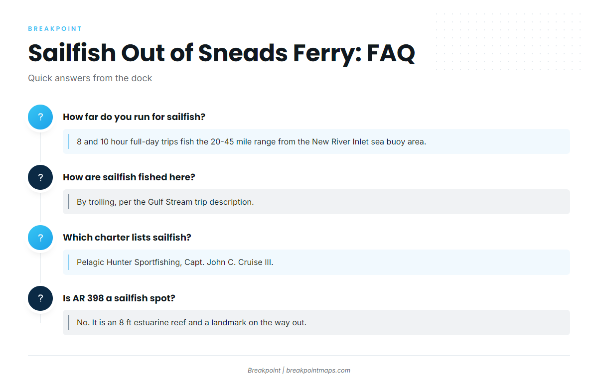
How far do you run for sailfish from Sneads Ferry?
Pelagic Hunter’s 8 and 10 hour full-day trips fish the 20-45 mile range, measured from the New River Inlet sea buoy area.
What season are sailfish caught here?
Pelagic Hunter lists sailfish on its full-day trips without naming a season. For timing, use the Atlantic Southeast regional guide.
How are sailfish fished out of Sneads Ferry?
By trolling, according to the Gulf Stream trip description.
Which charter lists sailfish?
Pelagic Hunter Sportfishing, Capt. John C. Cruise III. News coverage names the Pelagic Hunter II.
Is AR 398 a sailfish spot?
No. It is an 8 ft estuarine reef in the New River, useful as a landmark on the way out. The sailfish water is the 20-45 mile trolling range.