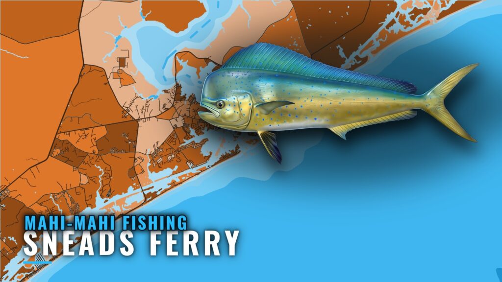
Mahi-mahi fishing out of Sneads Ferry is a summer troll. Boats leave through New River Inlet, use the sea buoy as the zero point, and find fish by reading the surface: temperature breaks, weed lines, floating debris and bait. Bottom structure gives you a place to start the search, but the fish follow what is on top of the water. For biology and behavior, see our mahi-mahi guide.
When mahi are off Sneads Ferry
The season is summer. Plan around that window and the forecast rather than a calendar date. For the regional picture, see how mahi move along the Carolina coast (see also the Atlantic Southeast region guide) in the Southeast guide.
Summer fish
Summer is when mahi are targeted out of this port. Before you run, check wind speed, wave height and period in the official NWS marine forecast for your zone.
Half-day reach (OMC)
OMC says mahi are possible in summertime on half-day trips. For an owner-operator, that means the fish are not only a long run away. A half-day is a real option, and the surface signs should decide how far you go.
Where boats run from New River Inlet
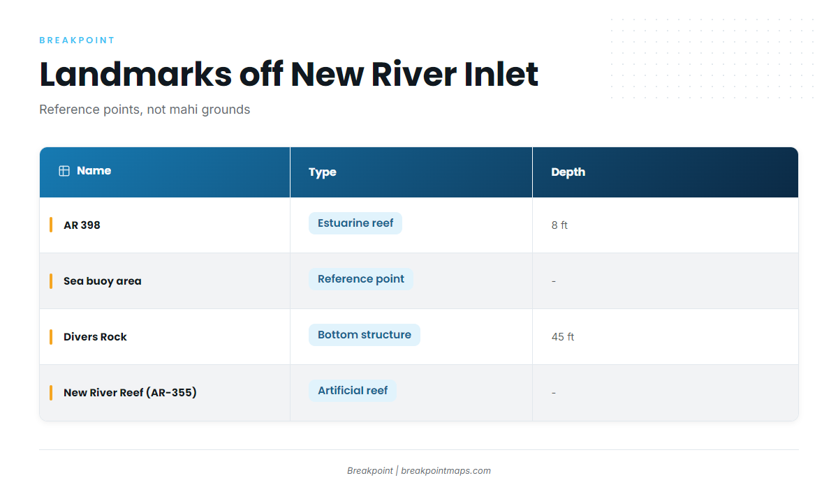
Every run starts through New River Inlet, and we log it from the sea buoy. The structure below gives you reference points, but mahi are found by what is on top of the water, not by what is on the bottom.
| Name | Type | Depth |
|---|---|---|
| AR 398 | Estuarine reef, New River | 8 ft |
| New River Inlet sea buoy area | Reference point | |
| Divers Rock | Bottom structure | 45 ft |
| New River Reef (AR-355) | Artificial reef |
AR 398 inside the river
AR 398 is an estuarine reef in the New River, listed in the NC Division of Marine Fisheries reef guide, in 8 ft of water. It is not a mahi ground. Use it as an inside landmark on the way to the inlet.
The sea buoy area
The sea buoy is the zero point. Because it is a fixed, shared reference, every run, temperature edge and weed line you log from it can be compared and repeated from one trip to the next.
Divers Rock
Divers Rock is nearshore bottom structure in 45 ft. Use it as a place to start the search and check for bait or debris, then follow the surface signs from there.
New River Reef (AR-355)
New River Reef (AR-355) is a named artificial reef off the inlet. Treat it like Divers Rock: check it for bait, then move on to water that shows the signs below.
How mahi are fished here
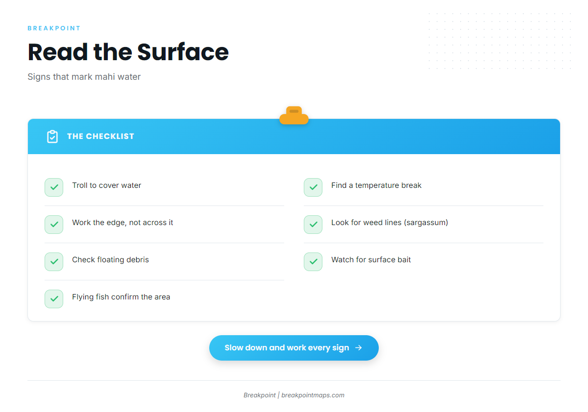
Trolling is the local method, and most of the work is reading the surface. Look for these signs, in roughly this order:
- Temperature breaks where two water masses meet
- Weed lines (sargassum) running in a line
- Floating debris, a single piece or a scatter
- Bait on the surface
- Flying fish, which confirm you are in the right area
Temperature breaks show on the OBS SST layer, and color edges show on Chlorophyll. Chart layers are not for navigation. The same edges and weed lines draw other offshore gamefish.
Trolling
Trolling covers water while you hunt for signs. Once you find one, slow down and work it. The open water between signs is rarely worth fishing.
Temperature breaks
A temperature break is a seam where different water masses meet. Bait gathers along it and predators patrol it, so fish along the edge rather than across it.
Weed lines and debris
A weed line is linear, so troll parallel along its edge. A single piece of floating debris is a point, so make passes around it. Sargassum and debris both hold bait, and bait holds mahi.
Bait and flying fish
Bait on the surface marks the right area, and flying fish confirm it. They are visible evidence of the forage mahi hunt, so when they scatter off your bow, keep working that water.
Who fishes for mahi out of Sneads Ferry
These local charters list mahi-mahi.
Pelagic Hunter Sportfishing
Pelagic Hunter Sportfishing: Capt. John C. Cruise III runs the Pelagic Hunter II.
OMC Fishing Adventures
OMC Fishing Adventures, also known as One More Cast Fishing Adventures, runs a 31 ft Pursuit with up to 6 guests.
Badfish Fishing Charters
Capt. Daniel Powell runs a 31 ft Luhrs with twin diesels. Details are on the Badfish Fishing Charters website.
Drifter Sportfishing & Charters
Drifter Sportfishing & Charters (drifteroffshore.com): Capt. Tiffany Kirkpatric runs a 30 ft Southport offshore.
FAQ: mahi-mahi out of Sneads Ferry
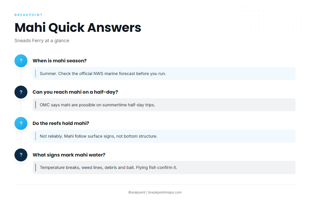
When is mahi season out of Sneads Ferry?
Summer. Before you run, check wind, wave height and period in the NWS marine forecast for your zone.
Can you reach mahi on a half-day?
OMC says mahi are possible on summertime half-day trips out of this port. Treat it as a real option and let the surface signs decide how far you go.
Do the reefs hold mahi?
Not reliably. AR 398 (8 ft) is an inside estuarine reef. Divers Rock (45 ft) and New River Reef (AR-355) are reference points to check for bait. Mahi follow surface signs.
What signs mark mahi water?
Temperature breaks, weed lines (sargassum), floating debris and bait. Flying fish confirm you are in the right area.
Who runs mahi charters here?
Pelagic Hunter Sportfishing (Capt. John C. Cruise III, Pelagic Hunter II), OMC Fishing Adventures (31 ft Pursuit), Badfish Fishing Charters (Capt. Daniel Powell, 31 ft Luhrs) and Drifter Sportfishing & Charters (Capt. Tiffany Kirkpatric, 30 ft Southport).