Striped bass fishing out of Rye Harbor is a short-season, structure-based fishery: rocky points, beaches and coastal channels, worked with live bait or lures where the water moves. Boats leave from Rye Harbor State Marina, the base for the local charter fleet, and the same water is open to anyone running their own boat out of Rye Harbor.
This page covers when the fish are in, where boats run, how the bass are fished, who fishes for them from this port, and which buoy to read before you go. It helps you decide where to look and does not promise fish.
When striped bass are in at Rye Harbor
The inshore run is a narrow window. The species guide covers why and when bass move; this section sticks to the port.
The inshore run
Tontine says the inshore striper run starts in late May and continues through June, so plan inshore trips for that window.
Half-day trips from the State Marina
Black Dog runs half-day striper trips from its base at Rye Harbor State Marina, which gives a reference point for how long a striper trip from this port takes.
Where Rye Harbor boats run
Inshore boats work rocky points, beaches and coastal channels (Tontine). The named grounds extend out to Jeffreys Ledge, the only one listed here with a depth: 164 ft. For the coast beyond this port, see the wider Northeast coast (see also the Atlantic Northeast offshore fishing guide).
Inshore water: points, beaches, channels
Three kinds of water matter here:
- Rocky points and rock piles. They break up the flow and create current rips, the seams the local methods target.
- Beaches. Open inshore water that bass work along.
- Coastal channels. Lanes where the tide moves through and concentrates flow.
Named grounds
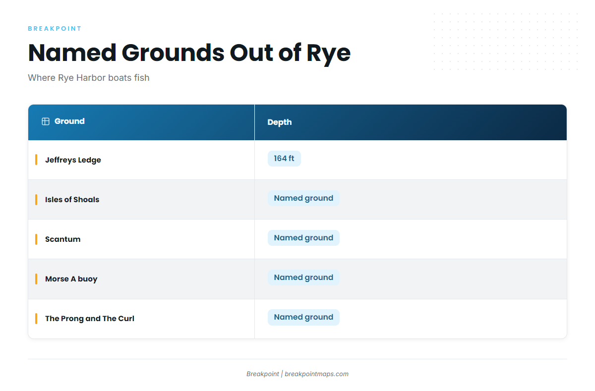
Boats work these named grounds from Rye Harbor:
| Ground | Depth |
|---|---|
| Jeffreys Ledge | 164 ft |
| Isles of Shoals | |
| Scantum | |
| Morse A buoy | |
| The Prong and The Curl |
The Chart Contours layer in Breakpoint shows the ledge and rock-pile edges these methods rely on. Chart layers are not for navigation.
Reading conditions at IOSN3
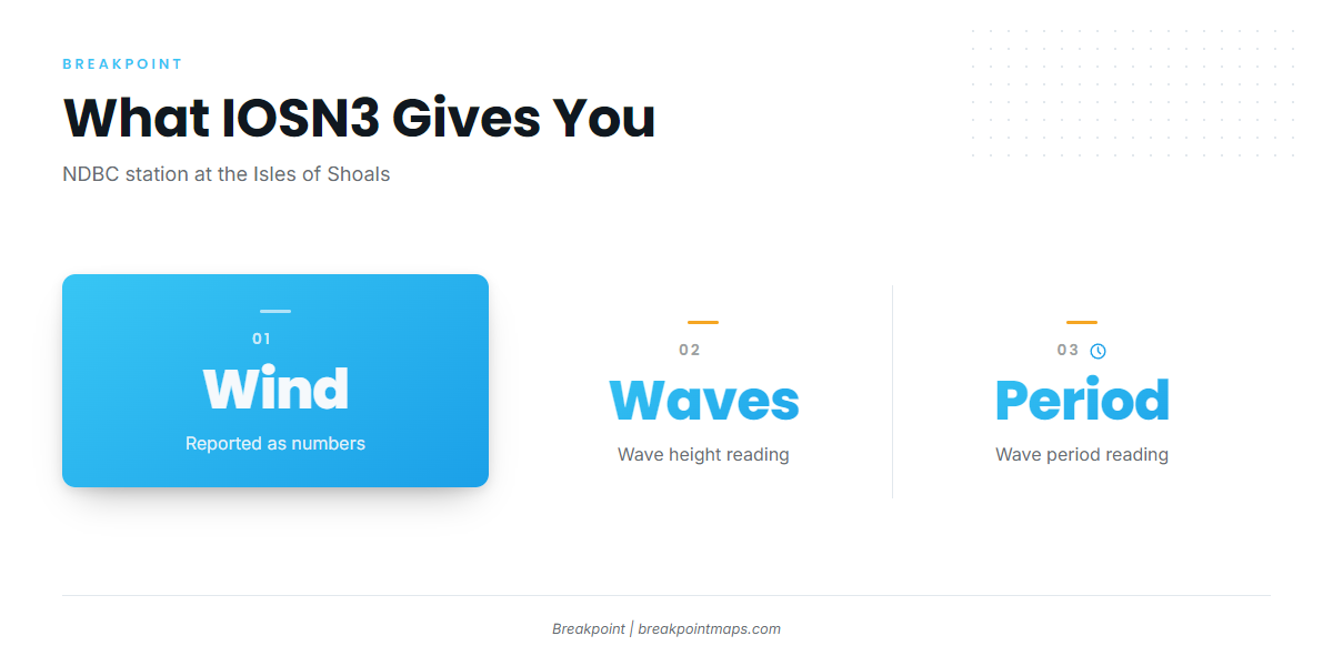
The nearest NOAA buoy is NDBC station IOSN3 (Isle of Shoals, NH, C-MAN) at 42.967N 70.623W. It reports wind, wave height and period as numbers, which is what you need to plan a run.
The buoy is a single point at the Isles of Shoals, and inshore water by the rocky points can read differently. Check the official forecast alongside the buoy numbers.
How stripers are fished here
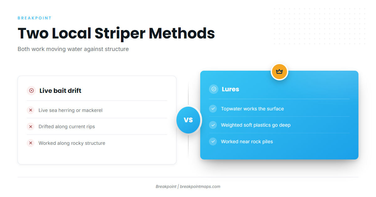
Two approaches are used locally, and both put bait or lures into moving water against structure.
Live herring and mackerel drifts
Local boats drift live sea herring or mackerel along current rips and rocky structure (Tontine). The drift carries the bait through the seam where current meets rock. From a private boat, set the drift line along the rip or the rock edge.
Topwater and weighted soft plastics
Anglers work topwater lures or weighted soft plastics into moving water near rock piles (Tontine). Topwater fishes the surface, while weighted soft plastics reach down into the current. Both can be used at the rock piles and rips on the named grounds above.
Who fishes for stripers out of Rye Harbor
These operators list striped bass trips from this port. Several also run bluefin tuna and offshore trips; other gamefish worked from this coast are covered separately.
| Operator | Listed details |
|---|---|
| Harvester Fishing Charters | Capt. Peter Aikens III |
| Tontine Fishing Charters | |
| Black Dog Charters | 31 ft West Bay lobster boat, max 6, USCG-licensed captain |
| Savage Charters | 36 x 14 ft Wayne Beal, F/V Out of Line, Capt. Jamie Savage |
| Pinwheel Tuna Fishing Charters | Owner and only captain Tyler McLaughlin |
| South End Charters |
FAQ: striped bass at Rye Harbor
When do stripers show up at Rye Harbor?
The inshore run starts in late May and continues through June (Tontine). Black Dog runs half-day striper trips from its base at Rye Harbor State Marina.
Where do boats fish for them?
Inshore boats work rocky points, beaches and coastal channels (Tontine). The named grounds are Isles of Shoals, Scantum, Morse A buoy, The Prong and The Curl, and Jeffreys Ledge at 164 ft.
What baits and lures are used?
Live sea herring or mackerel are drifted along current rips and rocky structure. Topwater lures or weighted soft plastics are worked into moving water near rock piles (Tontine).
Which buoy should I check?
NDBC station IOSN3 at 42.967N 70.623W reports wind, wave height and period. It is a single point at the Isles of Shoals, and inshore water can read differently, so check the official forecast too.
Who runs striper charters here?
Harvester Fishing Charters, Tontine Fishing Charters, Black Dog Charters, Savage Charters, Pinwheel Tuna Fishing Charters and South End Charters list striped bass trips out of Rye Harbor.