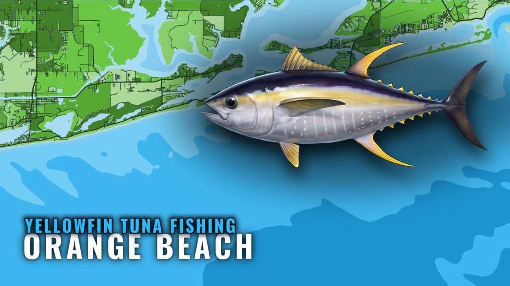
Where Orange Beach boats run for yellowfin tuna
Yellowfin fishing out of Orange Beach is offshore trolling, and the run starts at Perdido Pass. From the pass you head south across the Gulf of Mexico (Gulf of America) and out past a line of named structure. Ramps, the pass and where to read conditions are in our Orange Beach port guide.
This page is a run plan for owner-operators: distances, marks, buoy numbers and who else fishes for yellowfin from this port.
Offshore from Perdido Pass
Boats run offshore for yellowfin. Zeke’s Landing runs offshore tuna trips, and Shady Lady lists yellowfin tuna as a target.
How far the named marks sit
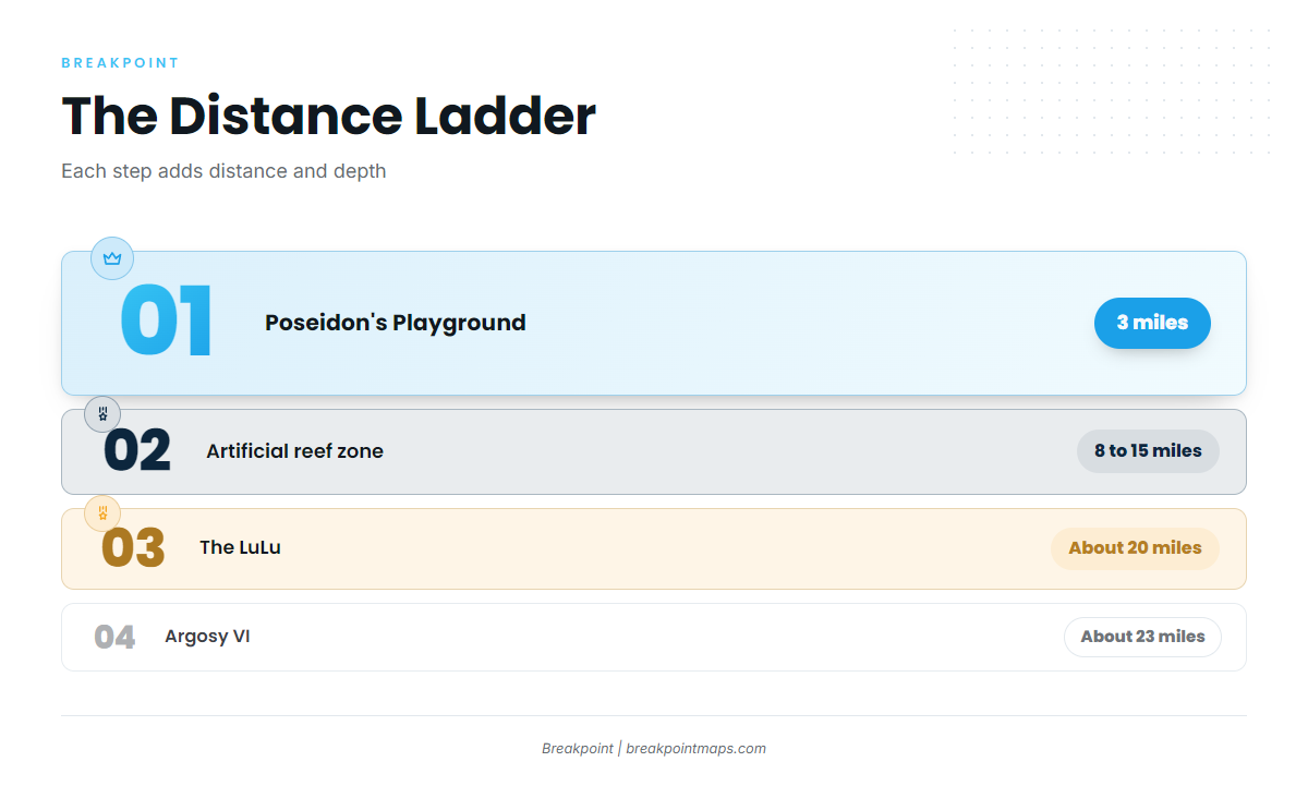
The marks stack up in distance order on the run south:
- Poseidon’s Playground: 3 miles offshore
- Orange Beach artificial reef zone: 8 to 15 miles offshore
- The LuLu: about 20 miles south
- Argosy VI: about 23 miles offshore
Distance and depth both increase with each step. The table in the next section has the details.
Grounds and structure off Orange Beach
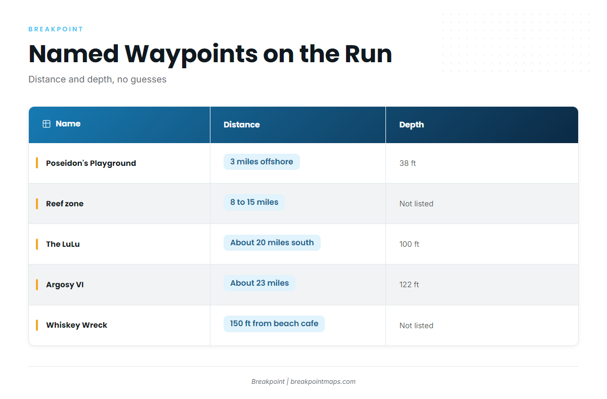
Use these as waypoints on the run south. Distance and depth are the useful figures.
| Name | Distance | Depth | Type |
|---|---|---|---|
| Poseidon’s Playground | 3 miles offshore | 38 ft | nearshore structure |
| Orange Beach artificial reef zone | 8 to 15 miles offshore | not listed | 48 reef sites, 64 pyramid modules, 24 sq mi |
| The LuLu (formerly M.V. Yokamu) | about 20 miles south | 100 ft | freighter wreck |
| Argosy VI | about 23 miles offshore | 122 ft | former riverboat casino, reef barge (2026) |
| Whiskey Wreck | 150 ft from Bahama Bob’s Beach Side Cafe, Gulf Shores | not listed | Gulf Shores dive site |
Poseidon’s Playground
Poseidon’s Playground sits in 38 ft, 3 miles offshore. It is the first named mark past the pass and the shortest run on the list.
Orange Beach artificial reef zone
The zone covers 24 square miles, with 48 reef sites built from 64 pyramid modules. It lies 8 to 15 miles offshore, so the run crosses it on the way out. Site coordinates are on the state’s offshore reef zone maps.
The LuLu
The LuLu, formerly the M.V. Yokamu, is a freighter wreck in 100 ft, about 20 miles south of Orange Beach.
Argosy VI
Argosy VI is a former riverboat casino sunk as a reef barge in 2026. It sits in 122 ft, about 23 miles offshore, which makes it the deepest and farthest mark on this list.
Whiskey Wreck
Whiskey Wreck is a Gulf Shores dive site, 150 feet from Bahama Bob’s Beach Side Cafe. It is beach-side structure useful for orientation, and it is off the beach rather than on the offshore run.
Timing and reading the water
Timing here follows the water and the calendar rather than a fixed season. Two sources carry it: the buoy and the tournament.
Buoy 42012
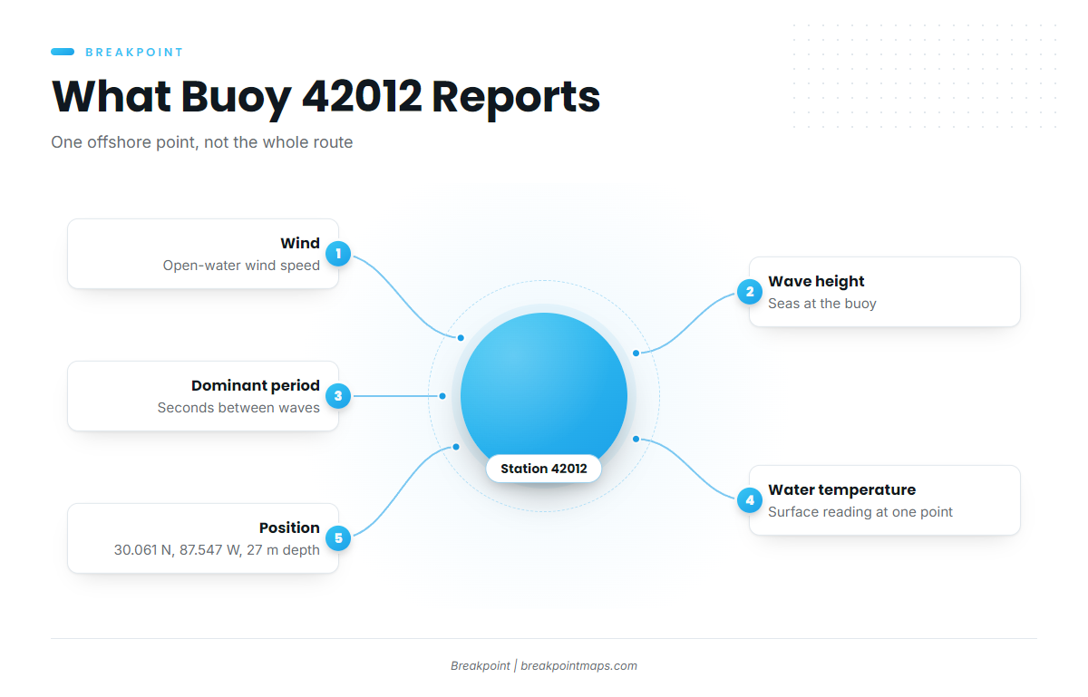
NOAA NDBC station 42012 ‘Orange Beach’ sits at 30.061 N, 87.547 W, 44 NM SE of Mobile, in 27 m of water (about 89 ft). The NDBC station 42012 page reports wind, wave height, dominant period and water temperature.
The buoy lies offshore along the route south, so it reports open-water conditions rather than harbor conditions. A typical reading looks like this: wind 15 knots, seas 4 ft at 6 seconds.
It reads a single point, not the whole route out to 23 miles, so pair it with the official forecast. Water temperature at the buoy is also a single point. The OBS SST layer in Breakpoint shows the surface picture around it, with Chart Contours for the depth ladder. Chart layers are not for navigation.
The tournament calendar
The Blue Marlin Grand Championship, usually held in July, is the port’s offshore calendar marker, and yellowfin tuna are part of the event. For timing, rely on water temperature from the buoy above. For how fish move across the wider Gulf, see the yellowfin tuna in the Gulf of Mexico guide (see also the Gulf of Mexico fishing guide).
How yellowfin are fished from Orange Beach
The methods listed for this port are trolling and offshore fishing.
Trolling offshore
Trolling offshore is the local method for yellowfin. Spreads and rigging are in our yellowfin tuna fishing guide.
Who fishes for them here
Three names come up for yellowfin out of this port:
- Shady Lady Charters: a 60-foot A1 Marine vessel that lists yellowfin tuna as a target. Captain Brian runs it, per the listing.
- Zeke’s Landing: runs offshore trips for tuna.
- Blue Marlin Grand Championship: the offshore tournament out of this port, usually July.
If you would rather ride along than run your own boat, these are the operators that list yellowfin.
FAQ: yellowfin tuna out of Orange Beach
How far do boats run for yellowfin tuna fishing out of Orange Beach?
It is an offshore run south from Perdido Pass. The named marks sit at 3 miles (Poseidon’s Playground, 38 ft), 8 to 15 miles (reef zone), about 20 miles (the LuLu, 100 ft) and about 23 miles (Argosy VI, 122 ft).
Which Orange Beach charters list yellowfin tuna?
Shady Lady Charters lists yellowfin tuna as a target. It is a 60-foot A1 Marine vessel, with Captain Brian per the listing. Zeke’s Landing runs offshore tuna trips.
Which buoy should I check before leaving Perdido Pass?
NOAA NDBC station 42012 ‘Orange Beach’, at 30.061 N, 87.547 W in 27 m of water. It reports wind, wave height, dominant period and water temperature. It reads one point offshore, so pair it with the official forecast.
When is the Blue Marlin Grand Championship?
It is usually held in July. It is the port’s offshore calendar marker, and water temperature data covers the rest of the timing.
Where are the rules for yellowfin from Orange Beach?
Both state and federal rules apply, because runs leave state waters. The Regulations section above points to the agency and rule pages. Check both before fishing.
Where do I read about other tunas or other ports?
Our tuna fishing guides cover the other species and ports.